The best road cycling routes around Lilbourne
4.5
(301)
4,334
riders
339
rides
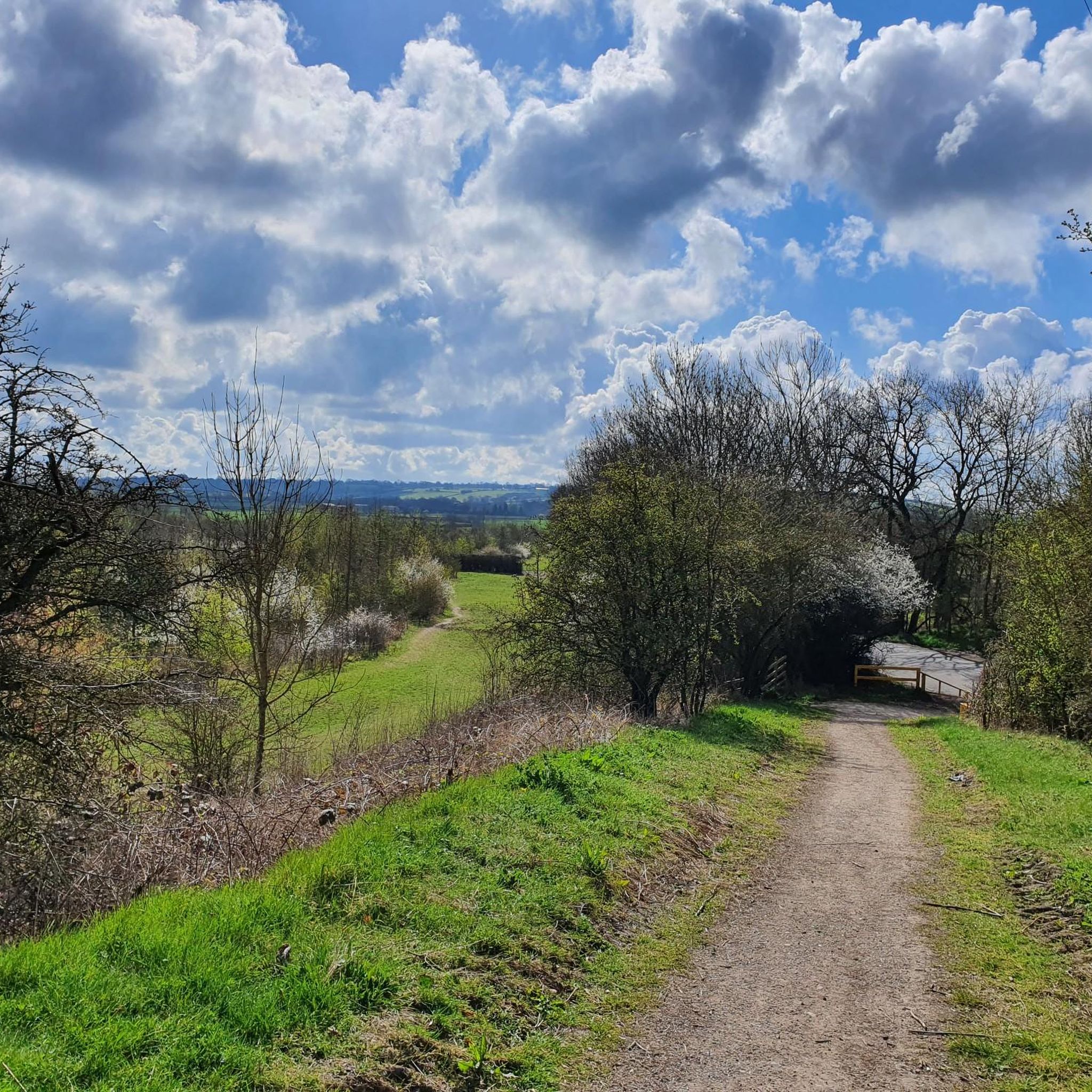
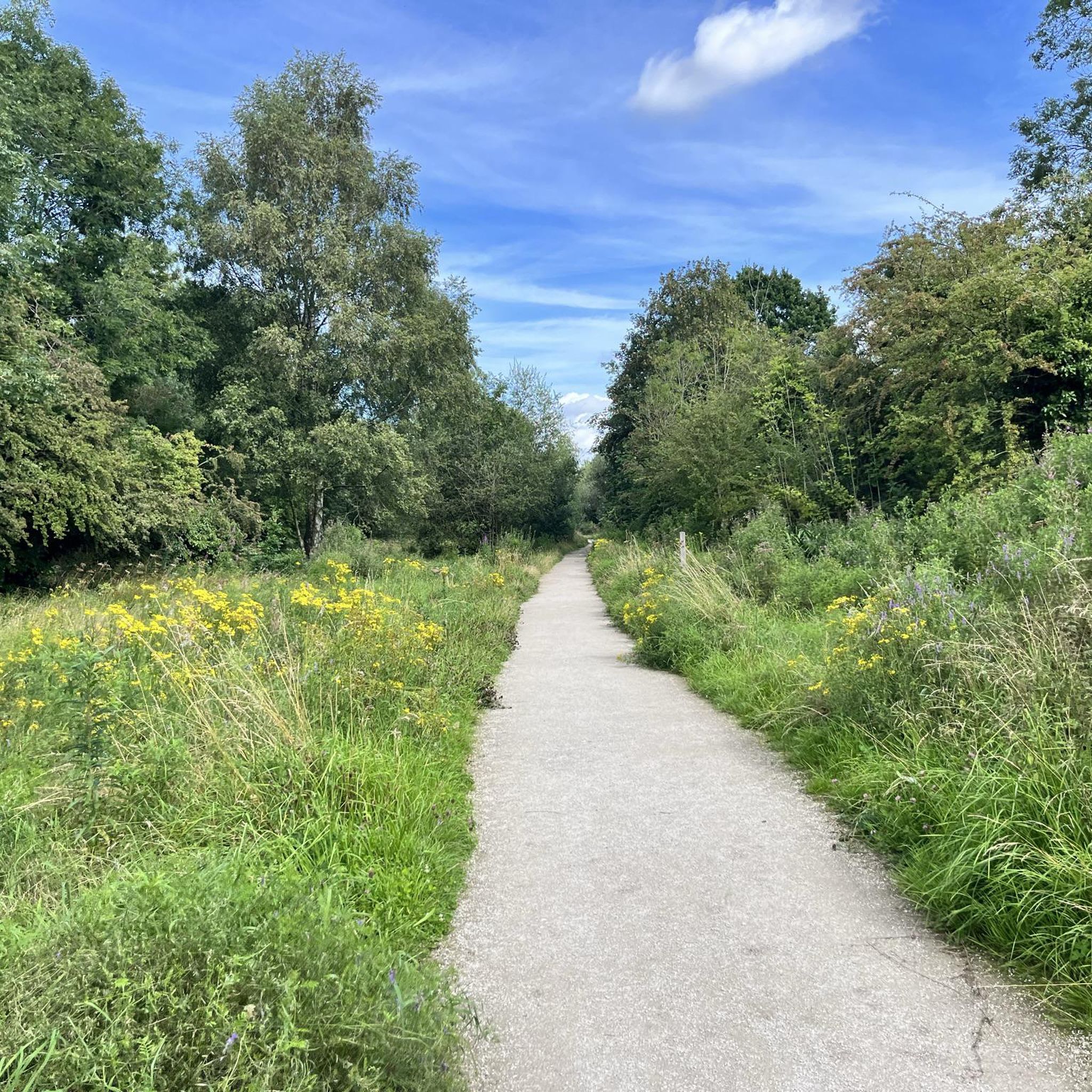
Road cycling routes around Lilbourne traverse a landscape characterized by rural roads, rolling agricultural land, and scattered villages. The terrain generally features gentle ascents and descents, with some routes incorporating slightly more pronounced hills. This area offers a network of paths suitable for exploring the countryside on a road bike.
Best road cycling routes around Lilbourne
- The most popular road cycling route is Rural Road Near Southam – Draycote Water loop from Hillmorton, a 17.7 miles (28.5 km) trail…
Last updated: July 2, 2026
5.0
(1)
59
riders
25.5km
02:37
110m
110m
Moderate road ride. Good fitness required. Some segments of this route may be unpaved and difficult to ride.
5.0
(1)
21
riders
36.0km
01:39
300m
300m
Moderate road ride. Good fitness required. Mostly well-paved surfaces and easy to ride.

Sign up for free
23
riders
29.3km
01:20
150m
150m
Moderate road ride. Great for any fitness level. Some segments of this route may be unpaved and difficult to ride.
21
riders
37.0km
01:49
340m
340m
Moderate road ride. Good fitness required. Mostly well-paved surfaces and easy to ride.
36
riders
31.5km
01:23
190m
190m
Easy road ride. Great for any fitness level. Mostly well-paved surfaces and easy to ride.
Get access to more routes and recommendations from other explorers.
Sign up for free
Already have an account?
Our route recommendations are based on thousands of hikes, rides, and runs completed by other people on komoot.
Start today with a free account
Your next adventure awaits.
Login or Signup


Tips from the Community

It’s a really nice place to get to and have a café ride. It’s nice to just ride around the reservoir. 
0
0

Top tip only park your bike on the left, (looking from the road) there is a sign to remind you when you arrive. Great service, nice little upstairs room when the weather isn’t so good, or sit outside side on warm sunny days, good value for money with the coffee and cake.
0
0

What inevitably catches the eye of the passing cyclist are the modern heirs of the beautiful historic windmills. Centuries ago, our ancestors were clever enough to use the power of the wind for their own purposes, by driving millstones and grinding grain into flour, for example. Often placed in the landscape in dozens, this modern and unaesthetic variant - in the past, people took great care to design the architecture of each individual mill - is used to generate electricity. These wind farms are not without controversy, as they are often built without consideration for the landscape, and above all, the slender blades can become a death trap for birds.
2
0

Get there before 11, fab outside space, bikes safe out the back (needs bike racks tho as used by cyclists)
0
0

Nice stretch of fairly decent road, through lovely little Walton and back toward the proving ground.
0
0

Draycote Water is an artificial reservoir (23 million m3), which was completed in 1969. In addition to its function as a water reserve, it is a leisure park u.a. for anglers, sailors, hikers. The rich bird life invites also to observations. Swimming is not allowed in the lake.
1
0
Frequently Asked Questions
How many road cycling routes are available around Lilbourne?
There are over 350 road cycling routes around Lilbourne, offering a wide range of options for different skill levels. This includes approximately 105 easy routes, 240 moderate routes, and a few more challenging paths.
Are there road cycling routes suitable for beginners in Lilbourne?
Yes, Lilbourne offers many routes suitable for beginners. Approximately 105 of the routes are classified as easy, featuring gentle ascents and descents through rural roads and villages. A good example is the Lilbourne Castle – St Nicholas Church loop from Lilbourne, which is 15.0 miles (24.2 km) long and generally completed in about 1 hour 6 minutes.
What kind of terrain can I expect on road cycling routes near Lilbourne?
The terrain around Lilbourne is characterized by rural roads, rolling agricultural land, and scattered villages. Routes generally feature gentle ascents and descents, with some incorporating slightly more pronounced hills, providing a varied countryside experience.
Are there any circular road cycling routes in the Lilbourne area?
Yes, many of the road cycling routes around Lilbourne are designed as loops, allowing you to start and finish at the same point. For instance, the Rural Road Near Southam – Draycote Water loop from Hillmorton and the Swinford Village – Honey Hill loop from Shawell are popular circular options.
What are some scenic highlights or landmarks I can see while road cycling near Lilbourne?
Road cycling routes around Lilbourne often pass through picturesque villages and offer views of the surrounding countryside. You might encounter historical sites like All Saints' Church, Braunston, or enjoy the tranquil scenes along the Oxford Canal Locks and Narrowboats. The Rural Road Near Southam – Draycote Water loop from Hillmorton also provides views of Draycote Water.
Are there any longer road cycling routes for more advanced cyclists?
While the majority of routes are easy to moderate, there are options for longer rides. For example, the All Saints' Church, Braunston – Willoughby Phone Box Library loop from Kilsby covers 23.4 miles (37.7 km) with over 350 meters of elevation gain, offering a more extended challenge.
What do other road cyclists say about the routes in Lilbourne?
The road cycling routes in Lilbourne are highly rated by the komoot community, with an average score of 4.5 stars from over 250 reviews. Cyclists often praise the quiet rural roads, varied countryside scenery, and the network of paths suitable for exploring the area.
Are there any road cycling routes that pass through villages with pub stops?
Many routes around Lilbourne wind through charming villages, increasing the likelihood of finding local pubs or cafes for a refreshment stop. While specific pub stops aren't listed for every route, the general character of the area with its scattered villages makes this a common feature of rides.
What is the best time of year for road cycling in Lilbourne?
The best time for road cycling in Lilbourne is typically during the spring, summer, and early autumn months (April to October) when the weather is generally milder and the days are longer. This allows for comfortable riding conditions and the full enjoyment of the rural landscape.
Are there any family-friendly road cycling routes in Lilbourne?
Yes, many of the easy-rated routes are suitable for families, especially those with older children comfortable on rural roads. These routes tend to have less traffic and gentler gradients, making for a more relaxed cycling experience. The Lilbourne Castle – St Nicholas Church loop from Lilbourne is an easy option that could be suitable for families.
How long do road cycling routes around Lilbourne typically take to complete?
The duration of road cycling routes varies significantly. Shorter, easy routes like the Lilbourne Castle – St Nicholas Church loop from Lilbourne can be completed in just over an hour. Moderate routes, such as the Rural Road Near Southam – Draycote Water loop from Hillmorton (17.7 miles), typically take around 1 hour 50 minutes, while longer routes can extend to 2-3 hours or more.
Can I find road cycling routes that avoid heavy traffic near Lilbourne?
The road cycling routes around Lilbourne predominantly utilize rural roads, which generally have lower traffic volumes compared to main roads. This allows cyclists to enjoy the countryside with less interruption, making for a more peaceful riding experience.
Most popular routes around Lilbourne
Most popular attractions around Lilbourne

Get inspired with the komoot mobile app


Explore more
Browse the best Road cycling routes in other regions.
