The best road cycling routes around Lake Przytulskie
5.0
(1)
38
riders
5
rides
Road cycling around Lake Przytulskie offers routes through a landscape characterized by multiple lakes and gentle elevation changes. The region features a network of roads that connect various lakeside views and rural areas. Road cyclists can expect a terrain with moderate climbs and descents, suitable for those looking for varied but not overly strenuous rides. The area around Lake Przytulskie provides opportunities to explore the natural environment on two wheels.
Best road cycling routes around Lake Przytulskie
- The most popular…
Last updated: May 13, 2026
21
riders
31.5km
01:49
170m
170m
Moderate road ride. Great for any fitness level. Some segments of this route may be unpaved and difficult to ride.
5.0
(1)
3
riders
61.6km
02:32
360m
360m
Moderate road ride. Good fitness required. Mostly well-paved surfaces and easy to ride.

Sign up for free
5
riders
32.0km
01:28
150m
150m
Moderate road ride. Great for any fitness level. Some segments of this route may be unpaved and difficult to ride.
5
riders
58.5km
02:22
310m
310m
Moderate road ride. Good fitness required. Mostly well-paved surfaces and easy to ride.
Our route recommendations are based on thousands of hikes, rides, and runs completed by other people on komoot.
Start today with a free account
Your next adventure awaits.
Login or Signup

Tips from the Community

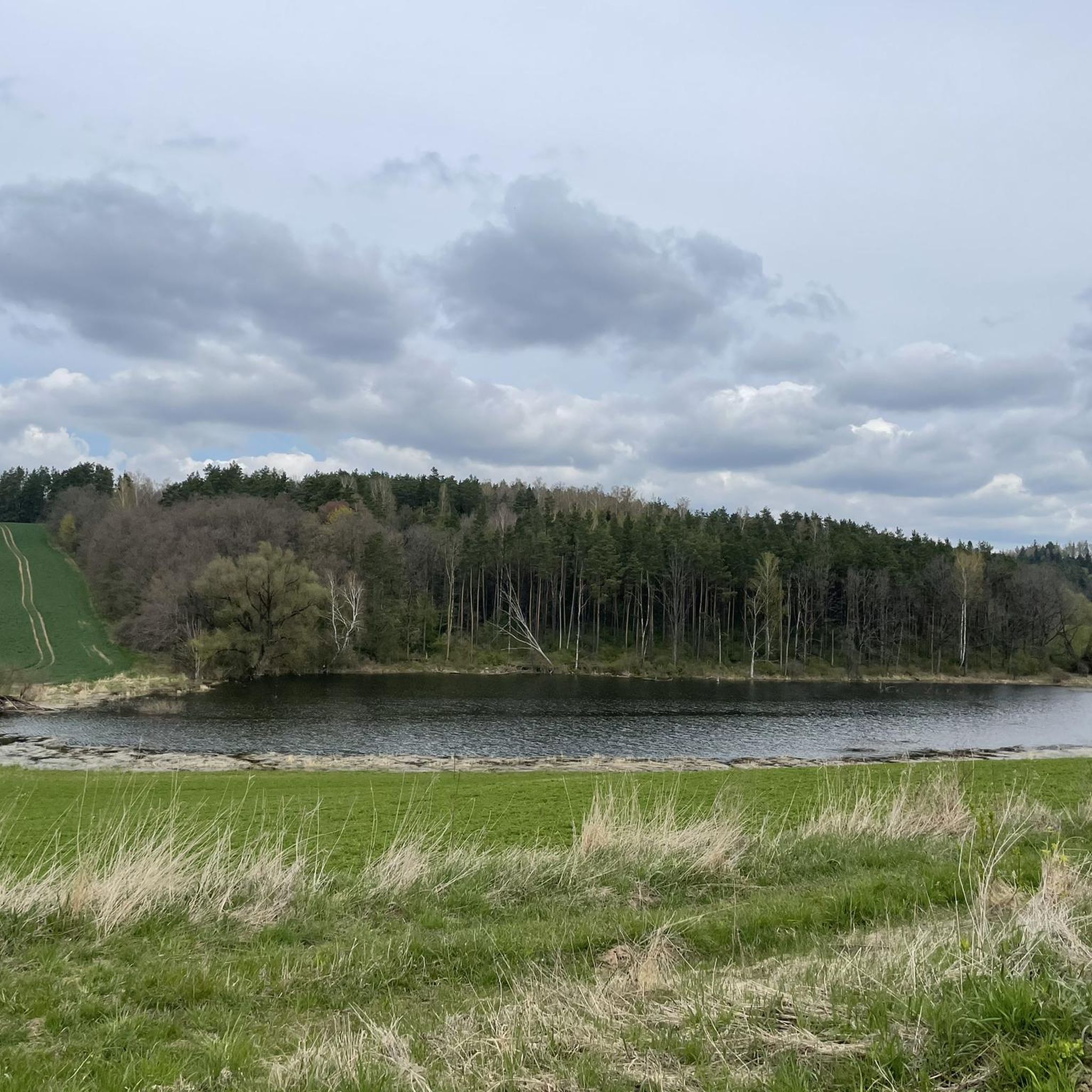
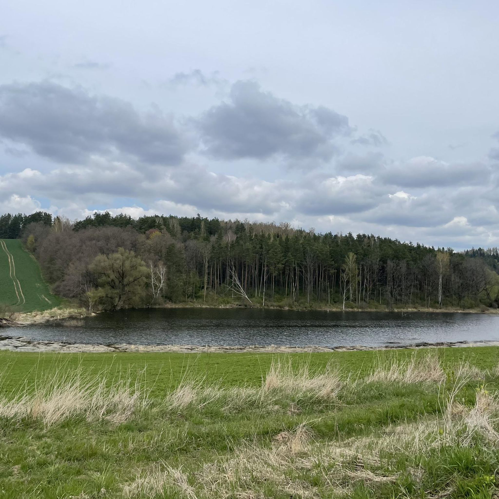
The lake is quite a large reservoir by Polish standards. It has 940 hectares of water surface. The average depth is 9.6 meters, and the maximum is 43.7 meters. The lake is roughly rectangular in shape with a large bay facing north. The main inflow is Łaźna Struga, the upper section of the Ełk River, and the outflow is the Ełk. In the south, the lake connects with Lake Straduńskie by a short section of this river. In the west, it connects with Lake Ułówki by a strait. There are two islands on the lake with a total area of 3.2 hectares. https://jeziorapolski.pl/jezioro-lasmiady/
2
0
Lake Łaśmiady is located in the Warmian-Masurian Voivodeship, north of Ełk, in the Ełk Lake District. The easiest way to get to the lake is by taking national road no. 65. On the section between Ełk and Olecko, there is the village of Straduny, and here you should turn onto the county road in the direction of Wronki. The lake is about 3 kilometers away. Roads lead along the eastern, north-eastern and southern shores. The rest are forested and inaccessible.
2
0

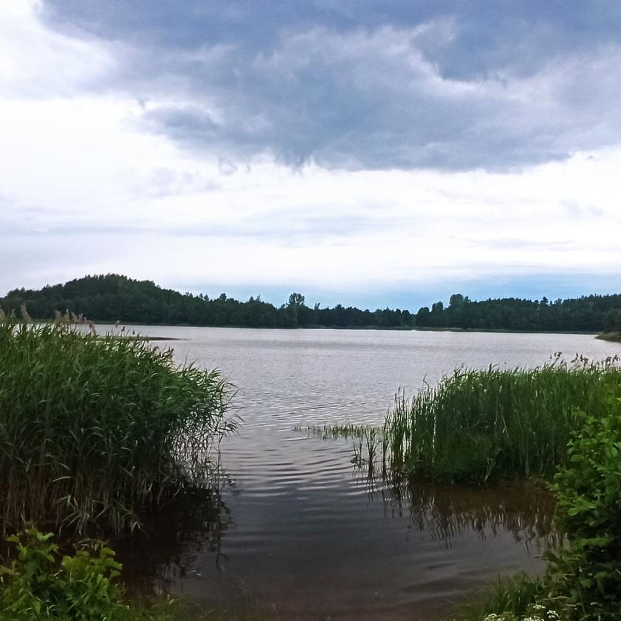
Lake Wydmińskie is located in Masuria, in the picturesque area of the village of Wydminy. It is a peaceful body of water, ideal for lovers of kayaking, sailing and fishing, as well as for those looking for a rest away from the crowds. There are numerous walking and cycling paths around the lake, and in the season there are several bathing areas with piers. It is worth taking comfortable shoes and something for mosquitoes, especially when planning evening runs.
1
0

You can drive on the road, but you have to be prepared for vibrations on the steering wheel like in Nokia 3310
0
0
A walk along the lake shore is pure delight.
4
0
The beach is open to the public and you can relax or rest before continuing your journey.
1
0

Frequently Asked Questions
What is the general difficulty level of road cycling routes around Lake Przytulskie?
The road cycling routes around Lake Przytulskie are generally rated as moderate. This means they offer varied terrain with some moderate climbs and descents, suitable for cyclists looking for engaging but not overly strenuous rides. All 7 routes currently listed are classified as moderate.
What are the typical lengths and durations of road cycling routes in the Lake Przytulskie area?
Routes in the Lake Przytulskie area vary in length, offering options for different preferences. For example, the View of Lake Łaśmiady loop from Piaski is about 19.6 miles (31.5 km) and takes around 1 hour 48 minutes. Longer options, like the View of Lake Łaśmiady – Gravel Road loop from Piaski, cover approximately 38.3 miles (61.6 km) and can take over 2.5 hours to complete.
Are there circular road cycling routes available around Lake Przytulskie?
Yes, many of the road cycling routes around Lake Przytulskie are designed as loops, allowing you to start and finish at the same point. Examples include the popular View of Lake Łaśmiady loop from Piaski and the View of Lake Łaśmiady – Gravel Road loop from Jurkowo, both offering scenic circular tours.
What kind of terrain can I expect on road cycling routes near Lake Przytulskie?
The terrain around Lake Przytulskie is characterized by rolling hills and a mix of paved roads and some gravel sections. You'll encounter gentle elevation changes, providing a varied cycling experience through lakeside areas and rural landscapes. Routes like the View of Lake Łaśmiady – Gravel Road loop from Piaski specifically mention gravel sections.
What is the best season for road cycling around Lake Przytulskie?
The best season for road cycling around Lake Przytulskie is typically from late spring to early autumn (May to September). During these months, the weather is generally milder, and the natural scenery is at its most vibrant. Always check the local weather forecast before heading out.
Are there any cafes or places to stop for refreshments along the road cycling routes?
While specific cafes are not listed for every route, the Lake Przytulskie region features small towns and villages like Piaski and Jurkowo, which are common starting points for routes. These locations often offer local eateries or shops where you can find refreshments. Planning your route with potential stops in mind is recommended.
What do other road cyclists enjoy most about cycling in Lake Przytulskie?
The area is highly rated by the komoot community, with an average score of 5.0 stars from over 1 review. Cyclists often praise the scenic views of the multiple lakes, the varied terrain that includes both paved and gravel sections, and the opportunity to explore the natural environment on two wheels.
Are there any viewpoints or scenic spots along the road cycling routes?
Yes, the routes are designed to offer extensive views of the lakes and surrounding countryside. For instance, the View of Lake Łaśmiady loop from Piaski provides beautiful vistas of Lake Łaśmiady, which is a recurring highlight across several routes in the area.
Is public transport available to access the road cycling routes around Lake Przytulskie?
Public transport options to the Lake Przytulskie area may be limited, but regional bus services often connect larger towns. It's advisable to research local bus schedules to nearby villages like Piaski or Jurkowo, which serve as common starting points for many routes. Bringing your bike on public transport might require specific arrangements.
Where can I find parking for my car when starting a road cycling route?
For routes starting in villages such as Piaski or Jurkowo, you can often find public parking areas. These are typical starting points for many of the loops, including the View of Lake Łaśmiady – Gravel Road loop from Piaski. Always check local signage for parking regulations.
Are there any longer road cycling routes for more advanced riders?
While all routes are rated moderate, some offer a greater distance and elevation gain, providing a more challenging experience. For example, the Lake Garbas – Beach at Skocznia loop from Olecko Małe is approximately 80 km long with over 400 meters of elevation gain, offering a more extensive ride.
Can I combine different routes to create a longer road cycling tour?
Given the network of roads connecting various lakeside areas, it is possible to link sections of different routes or explore connecting roads to create a customized, longer tour. Komoot's route planner can help you discover and combine segments to suit your desired distance and duration.
Most popular routes around Lake Przytulskie

Get inspired with the komoot mobile app


Explore more
Browse the best Road cycling routes in other regions.
