The best MTB trails around Gestalgar
4.7
(52)
1,047
riders
94
rides
Mountain biking around Gestalgar offers a diverse landscape characterized by rugged hills, river valleys, and natural park areas. The region features varied terrain, including ascents to peaks and routes through forested sections. Trails often follow natural contours, providing a mix of challenging climbs and technical descents. The area's geology contributes to its distinct features, making it suitable for mountain biking.
Best mountain bike trails around Gestalgar
- The most popular mountain bike trail is Chera-Sot de Chera Natural Park - Circular…
Last updated: August 18, 2026
41
riders
56.6km
04:46
880m
880m
Moderate mountain bike ride. Good fitness required. Suitable for all skill levels.
4.5
(2)
18
riders
65.9km
05:16
1,240m
1,240m
Hard mountain bike ride. Very good fitness required. Suitable for all skill levels.

Sign up for free
13
riders
43.1km
04:13
1,060m
1,060m
Hard mountain bike ride. Very good fitness required. Suitable for all skill levels.
8
riders
54.6km
04:32
1,100m
1,100m
Hard mountain bike ride. Very good fitness required. Suitable for all skill levels.
7
riders
32.7km
02:51
760m
760m
Moderate mountain bike ride. Good fitness required. Suitable for all skill levels.
Get access to more routes and recommendations from other explorers.
Sign up for free
Already have an account?
Our route recommendations are based on thousands of hikes, rides, and runs completed by other people on komoot.
Start today with a free account
Your next adventure awaits.
Login or Signup
Tips from the Community

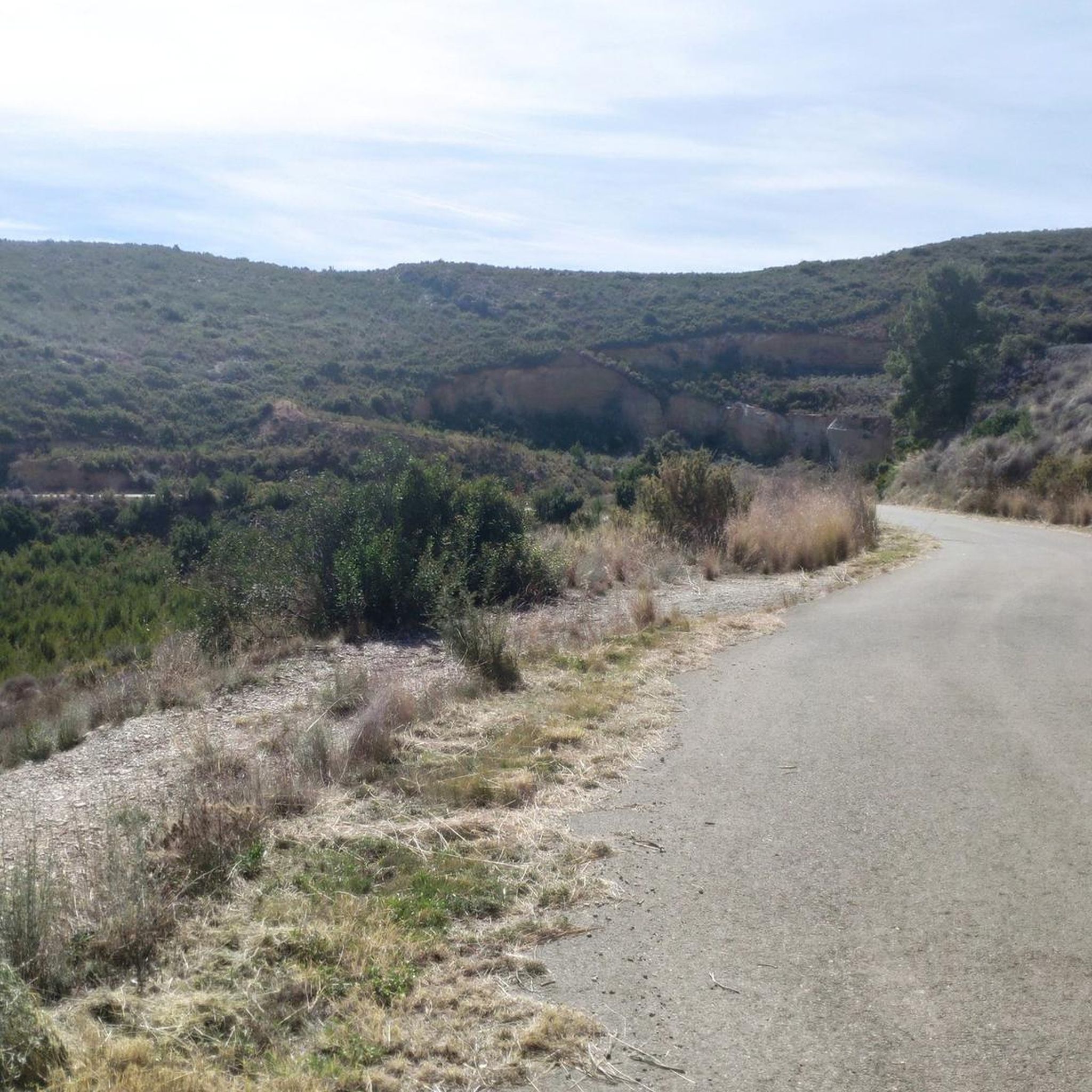
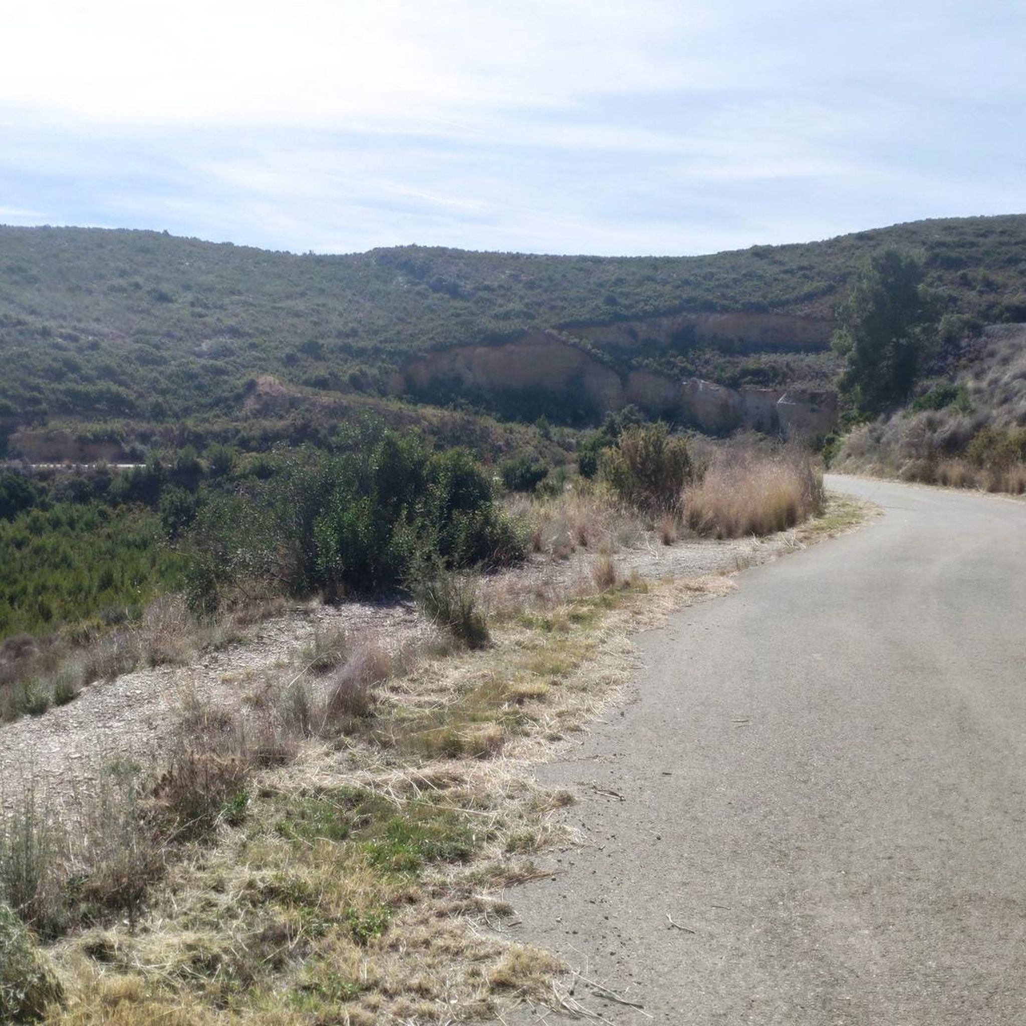
The road is narrow but in excellent condition (as of 2025, it's so new it doesn't even have painted lines yet). It's 3.7 km long with an average gradient of 6.0% and a maximum gradient of 10.5%, for a total elevation gain of 221 m, reaching a summit of 409 m above sea level (according to official signage). After a short descent, you can connect to the Puerto del Barranco de la Escoba pass, or take the secondary road to climb La Marjana.
1
0
Narrow road but in very good condition. Linked from Gestalgar after the Gabaldón Pass, we find 2.8km at an average gradient of 4.8% with a maximum gradient of 9% for a difference in elevation of 135m, reaching a summit of 437m above sea level (according to the official signage).
1
0

Ports are very hard but very very beautiful. Be careful, narrow road.
1
0

Nice view of Siete Aguas. Depending on the season, the almond trees are in bloom, and different types of flowers.
2
0

Undemanding climb with phenomenal views. Be careful with the firm that has important sinkholes in some section.
0
0

Section of road to go up to the port of El Gabaldón linking the city of Chiva with Gestalgar. A very picturesque route and not very physically demanding.
3
0
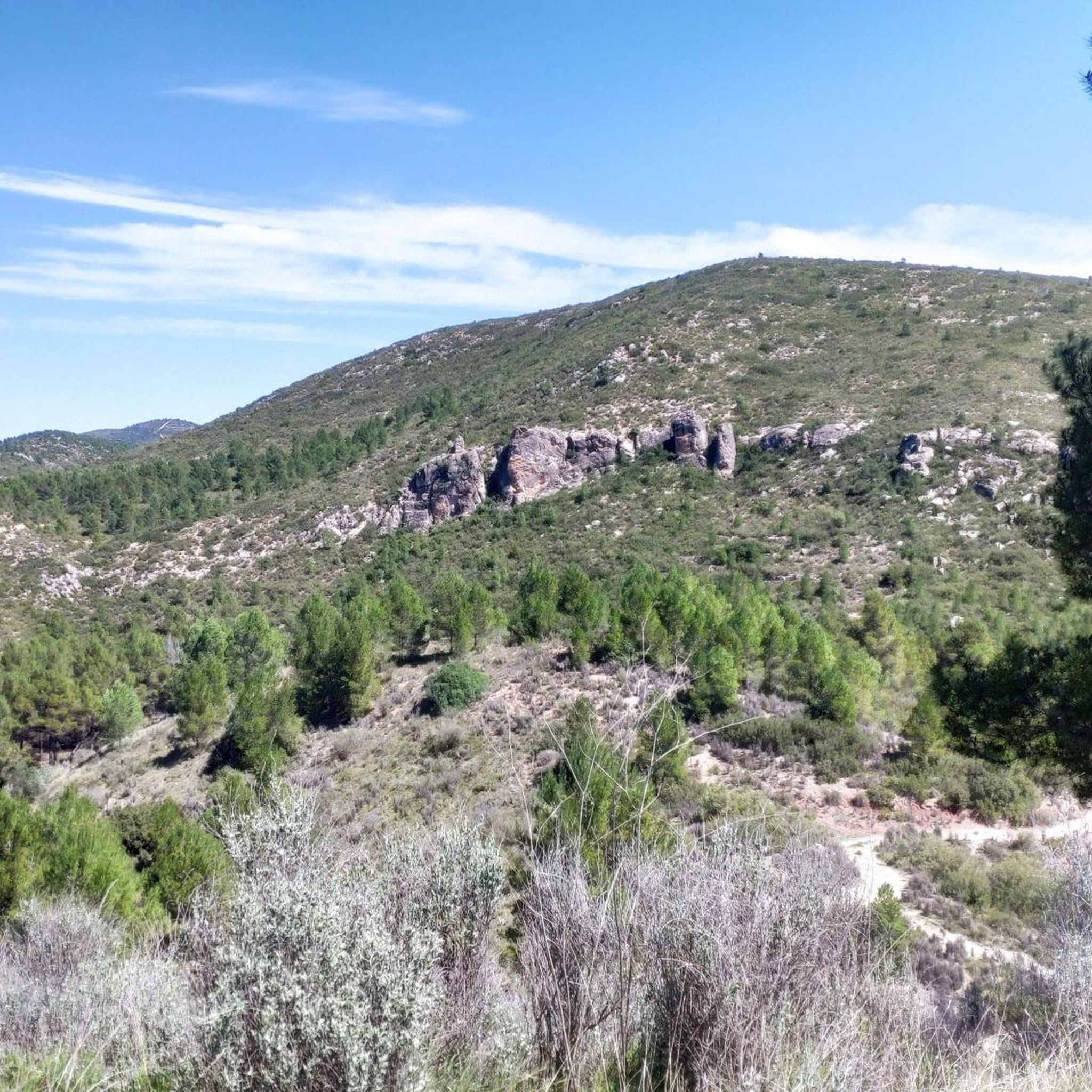
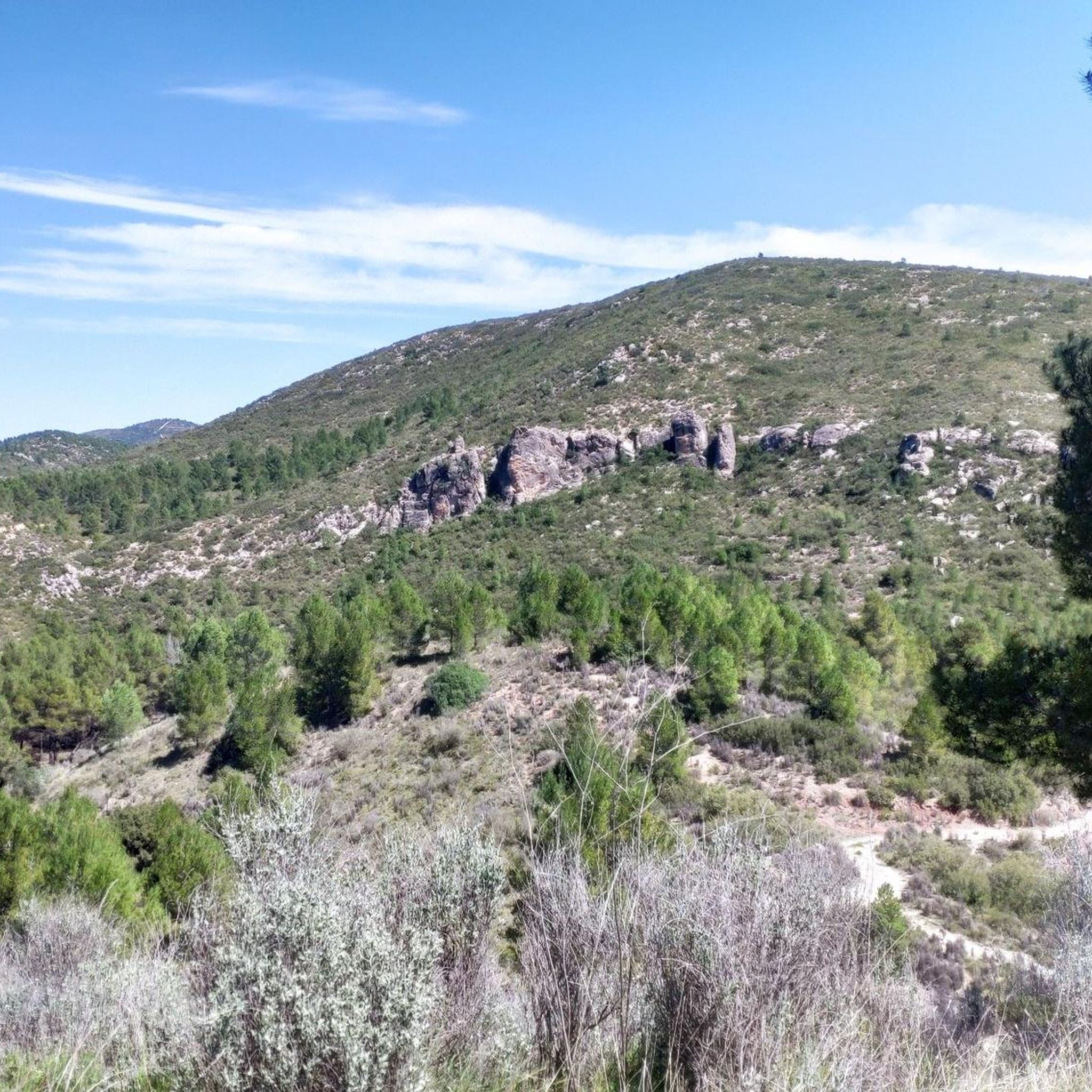
Very attractive site among rock formations that make you feel small;)
2
0
Site with fountain and recreational area in a very pleasant environment
1
0
Frequently Asked Questions
How many mountain bike trails are available around Gestalgar?
There are over 75 mountain bike trails around Gestalgar listed on komoot. The region offers a diverse landscape with varied terrain, including ascents to peaks and routes through forested sections.
Are there any easy mountain bike trails for beginners in Gestalgar?
While Gestalgar is known for its challenging terrain, there is at least one easy mountain bike trail available. The majority of routes are classified as moderate or difficult, catering to riders with some experience.
What is the typical length and duration of mountain bike trails in Gestalgar?
Trail lengths vary significantly. For example, the Chera-Sot de Chera Natural Park - Circular ascent to Rope Peak is about 19.7 miles (31.8 km) and takes nearly 4 hours, while the Playa El Motor loop from Gestalgar is a longer 41.6 miles (67.0 km) route, typically completed in about 5 hours 20 minutes.
Are there any circular mountain bike routes in Gestalgar?
Yes, many mountain bike routes in Gestalgar are designed as loops. Examples include the challenging Sot de Chera Castle – Trail Junction at Cuesta Larga loop from Sot de Chera and the extensive Playa El Motor loop from Gestalgar.
What kind of terrain can I expect on mountain bike trails in Gestalgar?
The region features rugged hills, river valleys, and natural park areas. You can expect a mix of challenging climbs, technical descents, and routes through forested sections, often following natural contours. The geology contributes to distinct features, making for varied riding.
What do other mountain bikers enjoy most about mountain biking in Gestalgar?
The area is highly rated by the komoot community, with an average score of 4.7 stars from over 50 reviews. Riders often praise the diverse landscapes, challenging ascents, and the natural park settings.
What are some scenic views or natural attractions I can see while mountain biking in Gestalgar?
The trails often pass through beautiful natural areas. You might encounter stunning viewpoints like View of the Loriguilla Reservoir from the El Fandarín viewpoint or reach summits such as Pico Ropé. The region also features several lakes and reservoirs, including the Charco Azul of Chulilla and Loriguilla Reservoir.
Are there any historical sites or landmarks along the mountain bike routes?
Yes, some routes, like the Sot de Chera Castle – Trail Junction at Cuesta Larga loop from Sot de Chera, explore historical sites and varied terrain around Sot de Chera, offering a cultural dimension to your ride.
When is the best time of year to go mountain biking in Gestalgar?
The region's climate generally allows for mountain biking outside of the hottest summer months. Spring and autumn typically offer pleasant temperatures and stable weather conditions, ideal for exploring the trails. Winter riding is also possible, though conditions may vary.
How does mountain biking in Gestalgar compare to Chulilla?
Gestalgar offers a similar rugged and natural parkland experience to Chulilla, with challenging ascents and technical descents. Both regions are known for their varied terrain and natural beauty, making them popular choices for mountain bikers seeking an outdoor adventure in the Valencian Community.
Are there any moderate mountain bike trails suitable for intermediate riders?
Yes, Gestalgar has a significant number of moderate trails. For example, the Cistern on the Camino del Turia – Rest Area loop from Bugarra is a moderate 20.7 miles (33.4 km) route that offers a good balance of challenge and enjoyment for intermediate riders.
What are the elevation gains like on Gestalgar's mountain bike trails?
Mountain bike trails in Gestalgar often feature significant elevation gains due to the region's hilly and mountainous terrain. For instance, the Sot de Chera Anticline – Sot de Chera loop from Sot de Chera includes over 1100 meters of ascent, providing a good workout for riders.
Most popular attractions around Gestalgar

Get inspired with the komoot mobile app


Explore more
Browse the best MTB trails in other regions.
