The best MTB trails around Villar Del Humo
7
riders
3
rides
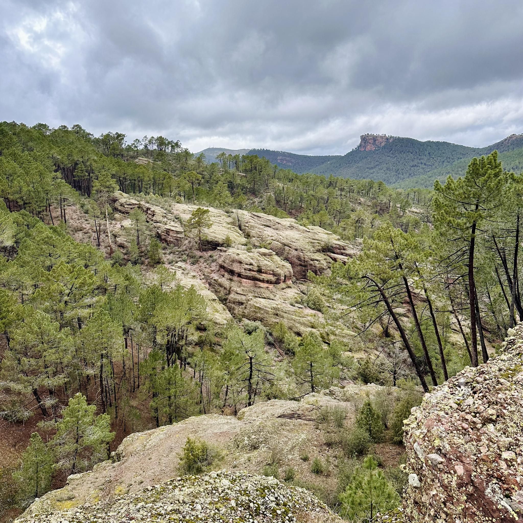
Mountain biking around Villar Del Humo offers challenging routes through a landscape characterized by significant elevation changes and varied terrain. The region features hilly and mountainous areas, with routes often traversing forest paths and leading to historical sites. Mountain bikers can expect demanding climbs and descents across these trails.
Best mountain bike trails in Villar Del Humo
- The most popular mountain bike trail is Las Corbeteras y Torre Balbina – circular desde Carboneras de Guadazaón, a 32.9 miles (52.9…
Last updated: July 7, 2026
52.9km
05:08
990m
990m
Hard mountain bike ride. Very good fitness required. Advanced riding skills necessary. Some portions of the route may require you to push your bike.
38.3km
03:46
820m
820m
This difficult 23.8-mile mountain bike loop explores the Peña del Escrito Cave and Balbina Tower in Villar de Humo.

Sign up for free
3
riders
52.8km
03:36
620m
620m
Moderate mountain bike ride. Good fitness required. Suitable for all skill levels.
4
riders
34.1km
02:56
490m
500m
Moderate mountain bike ride. Good fitness required. Suitable for all skill levels.
Our route recommendations are based on thousands of hikes, rides, and runs completed by other people on komoot.
Start today with a free account
Your next adventure awaits.
Login or Signup
Popular around Villar Del Humo

Tips from the Community

The Balbina Tower is usually included as a final or intermediate stage in the routes that cover the Levantine and schematic rock art complex of Villar del Humo, declared a World Heritage Site by UNESCO.
1
0
Torre Balbina is a natural rock formation of red sandstone (rodeno) that stands out for its height and vertical silhouette, resembling a large stone tower sculpted by erosion over millions of years. Its height exceeds 25 meters. Its geological age is estimated at more than 230 million years. It is one of the symbols of the Villar del Humo Cultural Park, sharing importance with the rock shelters of Peña del Escrito, Marmalo, and Selva Pascuala.
1
0
La Peña del Escrito is a group of rock shelters located in the municipality of Villar del Humo (Cuenca), one of the most outstanding sites of Levantine Rock Art and Schematic Art on the Iberian Peninsula. It is situated in the heart of the Sierra de las Cuerdas mountain range and has been a UNESCO World Heritage Site since 1998 as part of the Rock Art of the Mediterranean Basin.
1
0
16th century Trinitarian Monastery transformed into a charming hotel that offers all the comforts.
6
0

Cardenete is a town located between two rivers, the Río Cabriel and the Río Guadazaón. At the top of the town is the Castle of Cardenete where you can still see its walls.
0
0
In the passage of the Río de los Ojos de Moya we find this beautiful town located at the foot of the valley created by the river and surrounded by mountains on both sides. One of the most characteristic parts is the Monastery of Tejeda which is located to the north of the same nucleus and which had been very important in past times.
0
0

The town of Landete offers many services that make it the ideal place to start your route or take a break and have a delicious snack. The Plaza Mayor is very picturesque, the parish church and the town hall building stand out for their beauty and are usually the social center of the town.
1
1
The interior of Cuenca is full of curious rock formations, products of its geology and topography that have suffered the onslaught of erosion over thousands of years. Like the well-known Ciudad Encantada, very close to the little-known town of Pajaroncillo is this set of formations that attract a lot of attention due to their curious shapes and that are truly worthy of a postcard.
1
0
Frequently Asked Questions
What is the general difficulty level of mountain bike trails around Villar Del Humo?
Mountain biking around Villar Del Humo is characterized by challenging terrain. The routes primarily consist of moderate to difficult trails, featuring significant elevation changes, demanding climbs, and descents. There are no easy trails listed in this guide.
Are there any circular mountain bike routes in the Villar Del Humo area?
Yes, several routes are designed as loops. For example, you can explore the Las Corbeteras y Torre Balbina – circular desde Carboneras de Guadazaón, which is a difficult 32.9-mile (52.9 km) trail. Another option is the Villar del Humo Rock Art and Balbina Tower Loop, a difficult 23.8-mile (38.3 km) path that includes historical sites.
What kind of terrain can I expect on mountain bike trails in Villar Del Humo?
The region offers varied terrain, including hilly and mountainous areas. Trails often traverse forest paths, with some leading through open landscapes. Expect a mix of demanding climbs and descents across these routes.
Are there any trails that pass by historical sites or landmarks?
Yes, the area is rich in history. The Villar del Humo Rock Art and Balbina Tower Loop specifically explores historical rock art sites and offers panoramic views. Many routes also pass by historical landmarks, providing cultural interest alongside the physical challenge.
What are some notable natural attractions or scenic spots accessible by mountain bike?
While mountain biking, you might encounter natural highlights such as Las Chorreras, a beautiful waterfall, or the Las Corbeteras natural monument. The region also features scenic routes like the Cardenete–Enguídanos Scenic Road.
What are the typical lengths and elevation gains for mountain bike trails in this area?
Trail lengths vary, with routes ranging from approximately 23.8 miles (38.3 km) to 33.4 miles (53.7 km). Elevation gains are substantial, typically between 638 meters and 991 meters, reflecting the region's hilly and mountainous character.
What do other mountain bikers say about the trails in Villar Del Humo?
The komoot community frequently praises the challenging nature of the trails and the diverse landscapes. Many appreciate the combination of forest paths, open views, and the opportunity to visit historical sites like rock art and towers while riding.
Are there any moderate mountain bike trails suitable for intermediate riders?
Yes, there are moderate options available. The Santuario de Tejeda – Landete loop from Henarejos is a moderate 33.4-mile (53.7 km) trail that leads through a mix of forest and open landscapes. Another moderate route is the Cardenete Castle – Cerro de Enmedio loop from Cardenete, covering 34.1 miles (34.0 km).
What should I bring for a mountain biking trip in Villar Del Humo?
Given the challenging nature and significant elevation changes, it's advisable to bring plenty of water, energy snacks, a repair kit, and appropriate safety gear. Weather can change, so layers of clothing are recommended, especially for longer rides.
Are there any trails that offer panoramic views?
Yes, the Villar del Humo Rock Art and Balbina Tower Loop is specifically noted for offering panoramic views, allowing riders to take in the expansive landscapes of the region.
How many mountain bike trails are covered in this guide for Villar Del Humo?
This guide features 4 highly-rated mountain bike routes around Villar Del Humo, showcasing the best of the region's landscape and catering to moderate to difficult ability levels.
Most popular routes around Villar Del Humo
Most popular attractions around Villar Del Humo

Get inspired with the komoot mobile app


Explore more
Browse the best MTB trails in other regions.
