The best road cycling routes around Navamorcuende
4.8
(15)
1,907
riders
33
rides
Road cycling around Navamorcuende is characterized by its diverse mountainous terrain, featuring challenging ascents and scenic routes. The region is nestled within the Sierra de San Vicente, offering a backdrop of hills and natural beauty. Notable features include the demanding El Piélago Pass and Cerro San Vicente, which provides panoramic views from its 1,320-meter summit. This landscape provides varied road bike routes for cyclists seeking both challenging climbs and picturesque rides.
Best road cycling routes around Navamorcuende
- The most popular…
Last updated: July 10, 2026
22
riders
Hard road ride. Very good fitness required. Mostly well-paved surfaces and easy to ride.
5.0
(1)
256
riders
126km
07:36
3,210m
3,200m
Hard road ride. Very good fitness required. Mostly well-paved surfaces and easy to ride.

Sign up for free
37
riders
87.5km
04:54
1,940m
1,940m
Hard road ride. Very good fitness required. Mostly well-paved surfaces and easy to ride.
4.0
(3)
28
riders
69.8km
03:28
1,100m
1,100m
Hard road ride. Very good fitness required. Mostly well-paved surfaces and easy to ride.
25
riders
54.7km
02:32
640m
640m
Moderate road ride. Good fitness required. Some segments of this route may be unpaved and difficult to ride.
Get access to more routes and recommendations from other explorers.
Sign up for free
Already have an account?
Our route recommendations are based on thousands of hikes, rides, and runs completed by other people on komoot.
Start today with a free account
Your next adventure awaits.
Login or Signup
Popular around Navamorcuende
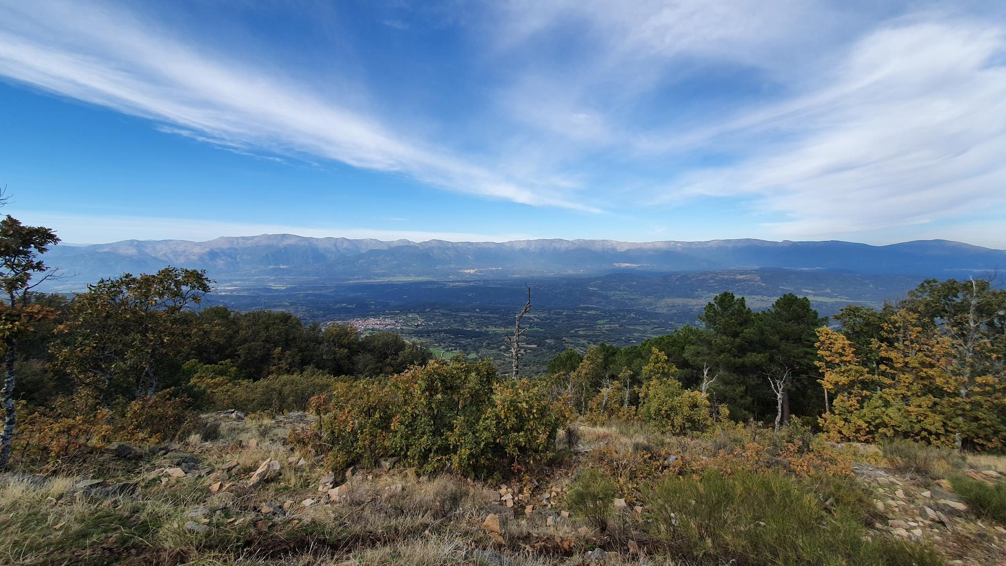
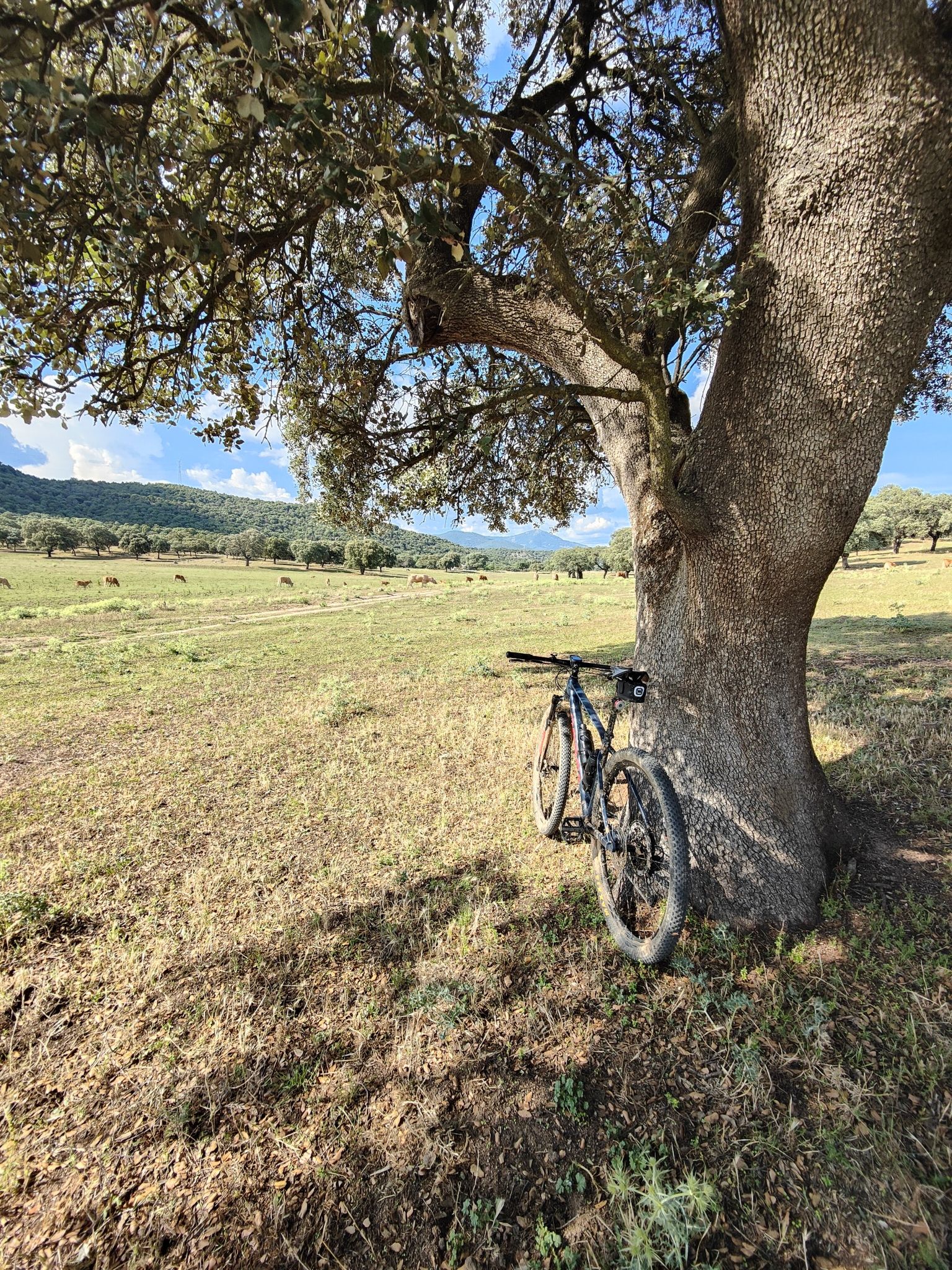
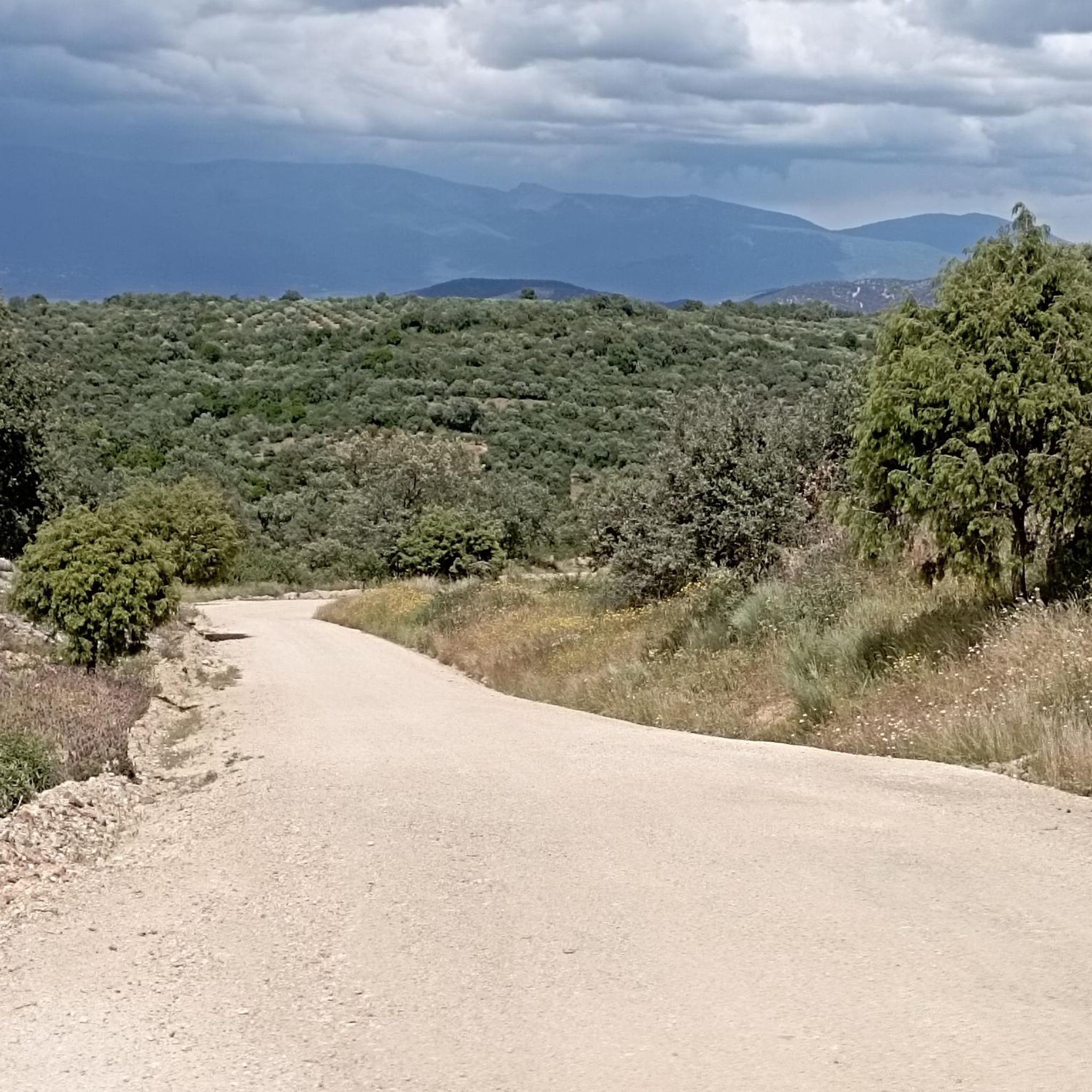

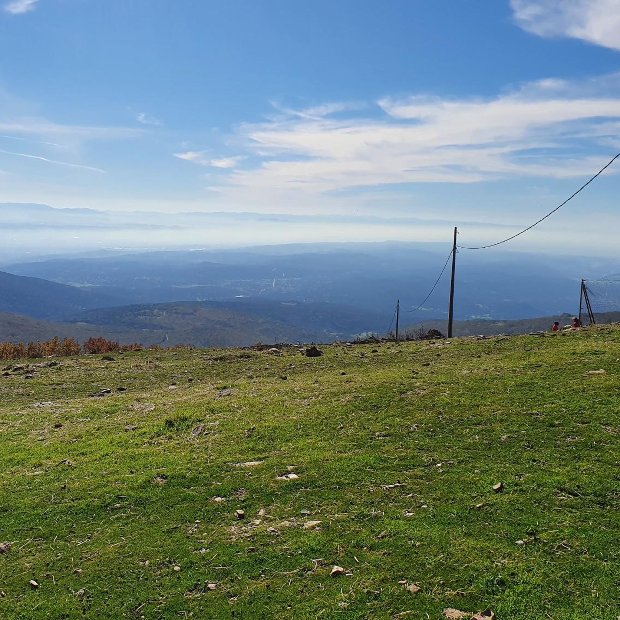


Tips from the Community

The Serranillos Pass is one of the most iconic mountain passes in the Sierra de Gredos, famous for its beauty and for being a historic stage in the Vuelta a España (Hinault's legendary stage in 1983). Views of the Cinco Villas Valley and the Gredos peaks. Spectacular scenery throughout the climb. Signage with gradient and remaining distance information. Ideal for linking up with Puerto del Pico, Pedro Bernardo, and Mijares for an epic stage.
1
0
The Mijares Pass is one of the great mountain passes in the Sierra de Gredos, highly prized by cyclists for its length, elevation gain, and scenic beauty. Maximum gradient: 11% (on short ramps before Mijares). There are several steep sections in the villages and near the Horcajo area, as well as another one 2 km from the summit.
1
0
The Pedro Bernardo Pass is one of the classic climbs in the Sierra de Gredos mountains, highly prized by cyclists and a regular feature of races like the Vuelta a España. First section: Up to the village (Pedro Bernardo), with gradients of 5-6%, a road in good condition, and spectacular views of the Tiétar Valley. Urban section: In the village, the gradient eases, even offering some flatter sections. Second section: After the village, the asphalt becomes rougher, and the toughest kilometer (7-8%) appears, followed by a "balcony" section with incredible views and a sustained 5% gradient to the summit.
1
0
What to see in Cuevas del Valle Church of the Nativity of Our Lady A 16th-century church with a mix of styles, predominantly Gothic. It houses an impressive Baroque altarpiece. Hermitages Hermitage of Saint Anthony Abbot Hermitage of Our Lady of the Port (or of Sorrows) Pillory of Justice A historical symbol of the town. Roman Road of Puerto del Pico One of the best-preserved Roman roads in Spain, an essential route for hikers and history enthusiasts. Traditional Architecture Cobblestone streets, stone houses with wooden balconies, charming squares.
1
0
Cuevas del Valle is a charming village in the Barranco de las Cinco Villas, within the Tiétar Valley and on the southern slopes of the Sierra de Gredos mountain range. It's ideal for a rural getaway combining history, nature, and gastronomy.
1
0

You cool down very quickly up here, especially when it's windy.
7
0

Highest point 1580 on this route, there is a large parking lot to enjoy the view.
16
0

A legendary mountain pass in the Vuelta a España and in the Gredos mountain range, along with Serranillos, Peña Negra, Pedro Bernardo, and Puerto del Pico. It's a namesake of Serranillos, as it connects the same valleys, running parallel. Like Serranillo, it's a pass with a gentle, continuous gradient and uneven, bumpy asphalt, which is typical of this area. A pass of thermal contrasts: in winter, you're freezing cold, and in summer, you can die of heat.
0
0
Frequently Asked Questions
How many road cycling routes are available around Navamorcuende?
Navamorcuende offers a wide selection of road cycling routes, with over 30 options available. These routes cater to various skill levels, primarily focusing on moderate to difficult terrain.
What is the general difficulty level of road cycling routes in Navamorcuende?
The road cycling routes around Navamorcuende are known for their challenging nature. While there are no easy routes, you'll find 10 moderate routes and 22 difficult routes, featuring significant elevation gains and demanding mountain passes like El Piélago.
Are there any moderate road cycling routes suitable for less experienced riders?
Yes, while many routes are difficult, there are 10 moderate road cycling routes available. An example is the Toro and Verracos of Bayuela loop from Segurilla, which offers a scenic ride with manageable climbs.
What kind of landscapes can I expect to see while road cycling in Navamorcuende?
You can expect diverse mountainous terrain, including the scenic backdrop of the Sierra de San Vicente. Routes often feature challenging ascents to points like Cerro San Vicente, offering panoramic views of the Toledo area, Sierra de Gredos, and Alto Tiétar. The region is rich in natural beauty, providing picturesque rides through hills and mountains.
What are some notable natural features or landmarks along the road cycling routes?
Cyclists can encounter several significant natural features. The challenging El Piélago Pass is a highlight for many. You might also pass by La Portiña Reservoir, or even the impressive El Chorro Waterfall near Gavilanes, depending on your chosen route.
Are there any routes that offer panoramic views?
Absolutely. Routes that ascend to higher elevations, such as those near Cerro San Vicente (1320m), provide wonderful panoramic views of the Toledo area, including the Sierra de Gredos park and Alto Tiétar. The region's mountainous character ensures many opportunities for stunning vistas.
What do other road cyclists say about the routes in Navamorcuende?
The road cycling routes in Navamorcuende are highly regarded by the komoot community, boasting an average rating of 4.8 stars from over 10 reviews. Cyclists frequently praise the demanding mountain passes, challenging climbs, and the scenic beauty of the Sierra de San Vicente.
Are there any long-distance road cycling routes in the area?
Yes, for those seeking longer rides, routes like the Puerto de Mijares – Puerto de Pedro Bernardo loop from Pedro Bernardo cover an extensive 78.5 miles (126.3 km) and include multiple mountain passes, offering a demanding, extended experience.
Can I find circular road cycling routes around Navamorcuende?
Many routes in the area are designed as loops, allowing you to start and end in the same location. An example is the Mijares – Puerto de Mijares loop from La Iglesuela del Tiétar, which is a popular 54.4-mile circular trail.
What is the best time of year for road cycling in Navamorcuende?
Given the region's mountainous terrain and challenging ascents, spring and autumn generally offer the most pleasant conditions for road cycling, with milder temperatures. Summer can be hot, especially on exposed climbs, while winter may bring colder temperatures to the higher passes.
Where do road cycling routes typically start in the Navamorcuende area?
Routes often start from nearby towns and villages, providing convenient access to the cycling network. For instance, you can find routes originating from Iglesuela del Tiétar, Pedro Bernardo, or Segurilla, allowing for varied starting points depending on your preferred route.
Are there any routes that explore river valleys or reservoirs?
Yes, some routes incorporate natural water features. For example, the Garganta de Torinas – Río Tiétar loop from Pedro Bernardo offers a ride that explores the area around the Tiétar River, providing a different scenic experience.
Most popular attractions around Navamorcuende

Get inspired with the komoot mobile app


Explore more
Browse the best Road cycling routes in other regions.
