The best walks and hikes around Santo Domingo De Las Posadas
5
hikers
3
hikes
Hiking around Santo Domingo De Las Posadas reveals a landscape characterized by rolling hills, historical sites, and rural paths. The region features ancient hillforts and reservoir areas, offering varied terrain for outdoor exploration. Trails often traverse open countryside and agricultural lands, providing views of the Castilian plateau.
Best hiking trails around Santo Domingo De Las Posadas
- The most popular hiking route is La Presa del Embalse to Castro de las Cogotas — circular, a 3.3 miles (5.3 km) trail…
Last updated: July 1, 2026
5.29km
01:32
130m
130m
Easy hike. Great for any fitness level. Easily-accessible paths. Suitable for all skill levels.
1
hikers
5.76km
01:36
110m
110m
Easy hike. Great for any fitness level. Easily-accessible paths. Suitable for all skill levels.

Sign up for free
4
hikers
11.9km
03:15
190m
190m
Moderate hike. Good fitness required. Mostly accessible paths. Sure-footedness required.
16.2km
04:25
240m
240m
Moderate hike. Good fitness required. Mostly accessible paths. Sure-footedness required.
7.72km
02:07
120m
120m
Moderate hike. Good fitness required. Easily-accessible paths. Suitable for all skill levels.
Our route recommendations are based on thousands of hikes, rides, and runs completed by other people on komoot.
Start today with a free account
Your next adventure awaits.
Login or Signup

Tips from the Community

The Castro de las Cogotas reservoir dam, located in the province of Ávila, offers spectacular views that combine engineering, nature, and archaeology.
1
0
The Castro de Las Cogotas, located in the municipality of Cardeñosa (Ávila), is one of the most emblematic Iron Age archaeological sites on the Iberian Peninsula, especially linked to the Vetton people. It is situated on a hill next to the Adaja River, surrounded by holm oak groves, pastures, and fertile land. This location offered defensive advantages and abundant natural resources. The fort is open to the public and has an Interpretation Center that explains its history and characteristics. Periodic archaeological conferences are also held on the site.
2
0
The place name Mingorría retains Basque reminiscences, deriving from “mendi gorria,” which means “red mountain” or “red land.” This is observed in other cases in the province of Ávila, such as the town of Mendigorría in Navarra. In historical documents, Mingorría already appears as Ningorría, and it is believed that there was an assimilation due to the change of the liquid initials “M” to “N.” Another legend attributes the name of Mingorría to the notice that José Chinchurreta gave to monarch Felipe II, justifying the delay in the supply of granite during the works of the Monastery of El Escorial.
4
0

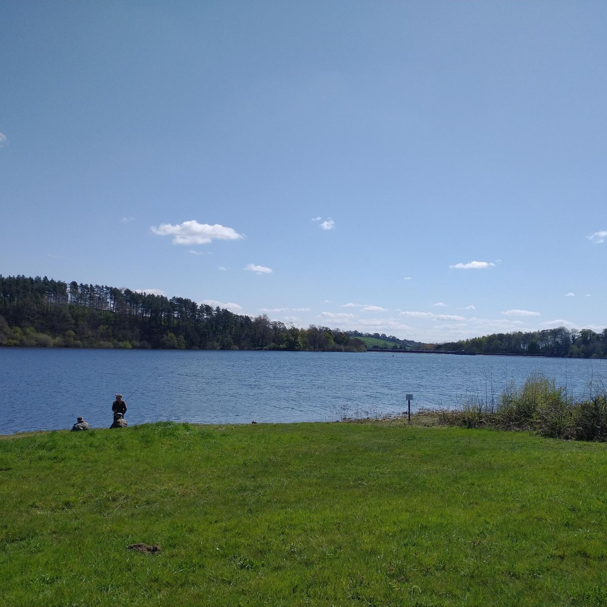
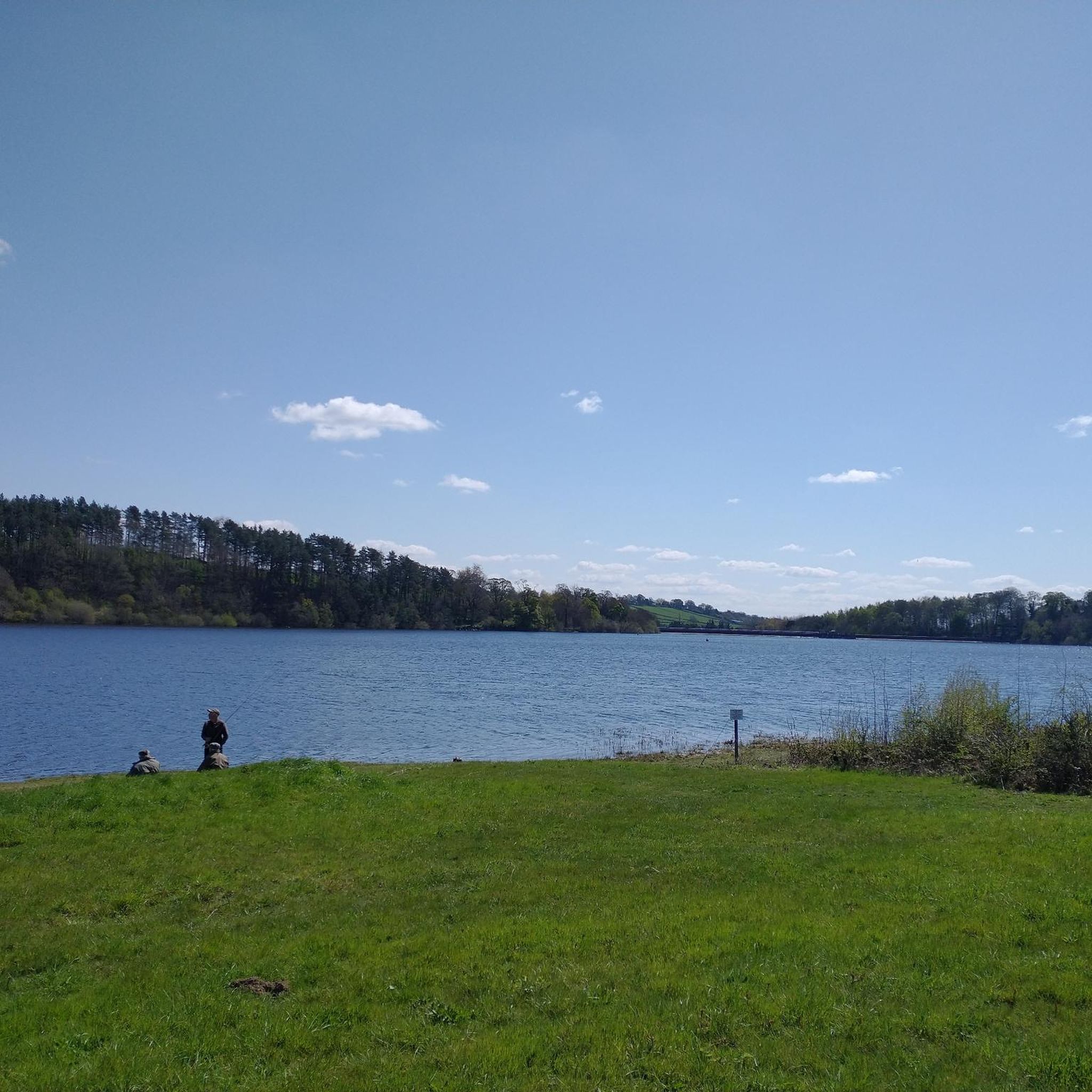
The Castro de las Cogotas reservoir dam, which retains the waters of the Adaja River, is an impressive structure. You can walk down to the river at the foot of the dam for a spectacular view of this powerful dam.
0
1
Three stone crosses located on a rocky outcrop near the Ermita del Berrocal, on the outskirts of Cardeñosa.
1
0
Along the way you reach the ruins of a medieval settlement, with building stones scattered on the ground of which only the main arch of a church remains standing.
2
0

Cardeñosa is the ideal place to stop along the way and have a drink to continue the route. Here is the Castro Interpretation Center
1
0

Nucleus that has a great history behind it not only because Las Cogotas is located closer to the reservoir but also, for example, the Arco toral of the depopulated Conejeros.
1
0
Frequently Asked Questions
How many hiking trails are available around Santo Domingo De Las Posadas?
There are 5 hiking routes detailed in this guide for the Santo Domingo De Las Posadas area, offering a variety of experiences from easy strolls to more moderate excursions.
Are there any easy hiking trails suitable for beginners or families?
Yes, the region offers easy trails. A great option is the La Presa del Embalse to Castro de las Cogotas — circular route, which is 5.3 km long and takes about 1 hour 32 minutes to complete. It offers views of the reservoir and an ancient hillfort.
Are there any circular hiking routes in Santo Domingo De Las Posadas?
Yes, several routes are circular. For example, the La Presa del Embalse to Castro de las Cogotas — circular is an easy option, while the Castro de las Cogotas Circular Trail offers a moderate 11.9 km loop around the historic site.
What kind of landscapes can I expect to see while hiking here?
Hiking around Santo Domingo De Las Posadas features rolling hills, historical sites, and rural paths. You'll traverse open countryside and agricultural lands, with views of the Castilian plateau, ancient hillforts, and reservoir areas.
What historical sites can I explore on a hike?
The region is rich in history. You can explore the ancient Castro de Las Cogotas, an Iron Age hillfort, which is a prominent feature on several trails, including the Castro de las Cogotas Circular Trail.
Are there any trails that pass through villages or settlements?
Yes, some routes connect or pass near local settlements. The Route of the Mills from Mingorría starts from Mingorría, and the Yacimiento de las Cogotas — circular desde Cardeñosa begins near Cardeñosa.
What is the longest hiking trail in this guide?
The longest trail featured is the Yacimiento de las Cogotas — circular desde Cardeñosa, a moderate 16.2 km route that typically takes around 4 hours 24 minutes to complete.
Are there any moderate difficulty trails for more experienced hikers?
Absolutely. Trails like the Castro de las Cogotas Circular Trail (11.9 km) and the Cardeñosa and Arco de Conejeros Trail (7.7 km) are rated as moderate, offering a good challenge with varied terrain.
What do other hikers say about the trails in Santo Domingo De Las Posadas?
The trails in Santo Domingo De Las Posadas are appreciated by the komoot community for their rural charm and historical interest. Hikers often highlight the opportunity to explore ancient sites like Castro de las Cogotas and enjoy the peaceful countryside.
Can I find trails that offer views of reservoirs?
Yes, the region includes reservoir areas. The La Presa del Embalse to Castro de las Cogotas — circular route, for instance, provides scenic views of the local reservoir.
Are there any trails that are particularly good for bird watching?
While specific bird-watching trails aren't highlighted, the rural landscapes, open countryside, and reservoir areas found on routes like the Route of the Mills from Mingorría offer opportunities to observe local birdlife in their natural habitat.
Most popular routes around Santo Domingo De Las Posadas
Most popular attractions around Santo Domingo De Las Posadas

Get inspired with the komoot mobile app


Explore more
Browse the best Hikes in other regions.
