The best cycling routes around Santa Cruz De Pinares
4.0
(2)
69
riders
21
rides
Touring cycling around Santa Cruz De Pinares, located at 1,010 meters above sea level, offers diverse terrain within the province of Ávila, Spain. The region is characterized by its proximity to the Sierra de Gredos mountain range, featuring high passes and sweeping roads. Extensive pine, chestnut, and oak forests cover the landscape, alongside the tranquil Valle del Alberche and the El Burguillo Reservoir. This varied topography provides a range of touring cycling experiences.
Best touring cycling routes around Santa Cruz…
Last updated: July 15, 2026
3.0
(1)
7
riders
38.6km
03:03
560m
560m
Hard bike ride. Very good fitness required. Mostly paved surfaces. Suitable for all skill levels.
14
riders
49.6km
05:01
1,250m
1,250m
Hard bike ride. Very good fitness required. Mostly paved surfaces. Suitable for all skill levels.

Sign up for free
10
riders
Hard bike ride. Very good fitness required. Mostly paved surfaces. Suitable for all skill levels.
8
riders
61.0km
04:07
1,040m
1,040m
Hard bike ride. Very good fitness required. Mostly paved surfaces. Suitable for all skill levels.
7
riders
82.8km
05:39
1,450m
1,450m
Hard bike ride. Very good fitness required. Mostly paved surfaces. Suitable for all skill levels.
Get access to more routes and recommendations from other explorers.
Sign up for free
Already have an account?
Our route recommendations are based on thousands of hikes, rides, and runs completed by other people on komoot.
Start today with a free account
Your next adventure awaits.
Login or Signup

Tips from the Community

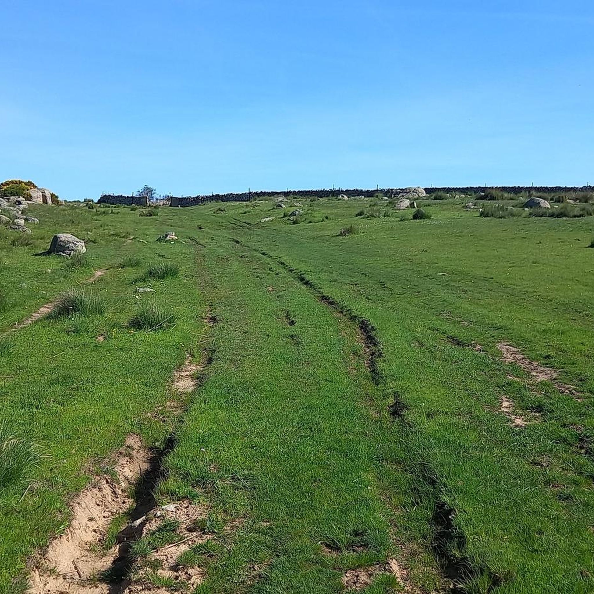
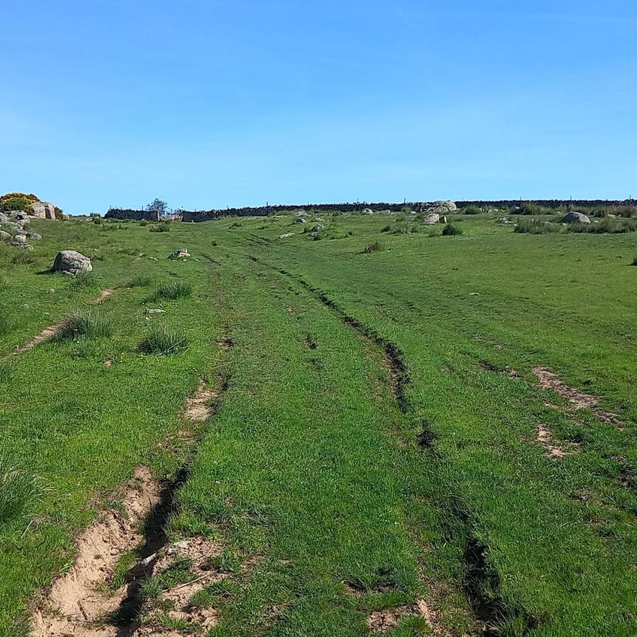
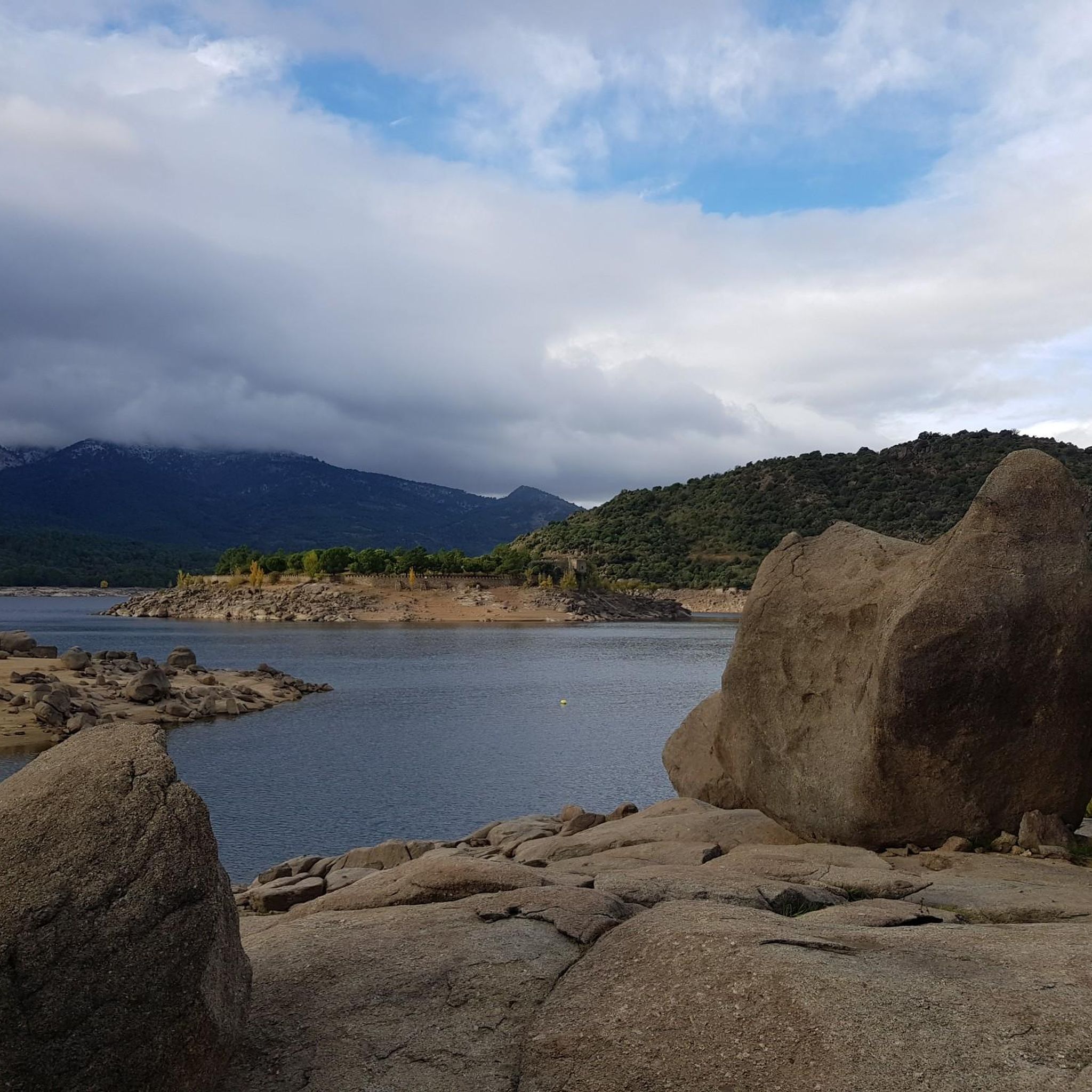
The Mijares Pass is one of the great mountain passes in the Sierra de Gredos, highly prized by cyclists for its length, elevation gain, and scenic beauty. Maximum gradient: 11% (on short ramps before Mijares). There are several steep sections in the villages and near the Horcajo area, as well as another one 2 km from the summit.
1
0

You cool down very quickly up here, especially when it's windy.
7
0

Highest point 1580 on this route, there is a large parking lot to enjoy the view.
16
0

A legendary mountain pass in the Vuelta a España and in the Gredos mountain range, along with Serranillos, Peña Negra, Pedro Bernardo, and Puerto del Pico. It's a namesake of Serranillos, as it connects the same valleys, running parallel. Like Serranillo, it's a pass with a gentle, continuous gradient and uneven, bumpy asphalt, which is typical of this area. A pass of thermal contrasts: in winter, you're freezing cold, and in summer, you can die of heat.
0
0

Beautiful stone bridge over the Alberche River as it passes through Navaluenga.
0
0

The cycle trip continues along the lane of the Jacobean route until it connects with the Cebreros highway. The route continues along the side of the road, passing through the popular port of Arrebatacapas and another descent to Cebreros, a mountain town with a wine-growing tradition that would be a good place to finish the second stage when organized as a three-day trip. The Camino de Levante descends from the port along a mountain path that is quite technical and difficult by bicycle, suitable for trail experts and everyone can choose. The path begins next to the port sign and ends where the road enters the urban complex. The track goes down the road, crosses the town and continues the descent along the old Camino Real de Toledo, used by the funeral procession of Isabel la Católica when they carried her remains from Medina del Campo to Granada. At the Cebreros exit there are remains of the old medieval road and on the Alberche River there are the monumental bridges of Valsordo and Santa Yusta, used since Roman times, although they have undergone several reconstructions throughout history. The climb coincides with the last arrows of the Camino de Levante and deviates through the Puente Nuevo urbanization towards San Martín de Valdeiglesias, following the markings of the GR-10 long-distance path, with several hard ramps on the Camino de la Aliseda.
0
0

The Alberche River is one of the tributaries of the Tagus, and runs through the communities of Castilla y León, Madrid, and Castilla - La Mancha. It is born on the southern slope of the Villafranca mountain range, in the Central system. It is a river with a shallow flow, like all the rivers that originate from the southern slope of the Central system. It serves as a border between the Gredos and Guadarrama mountain ranges.
1
0

Great port where the neocyclist is persona non grata
1
0
Frequently Asked Questions
How many touring cycling routes are available around Santa Cruz De Pinares?
There are over 20 touring cycling routes documented on komoot for the Santa Cruz De Pinares area, offering a variety of experiences for cyclists.
What kind of terrain and difficulty can I expect on touring cycling routes in Santa Cruz De Pinares?
The terrain around Santa Cruz De Pinares is diverse, ranging from tranquil valley roads to challenging mountain passes within the Sierra de Gredos. While there are a few easy and moderate routes, the majority (16 out of 20) are classified as difficult, featuring significant elevation gains. For example, the El Berraco – Navaluenga Valley loop from El Barraco is a difficult 51.3 km path with over 1294 meters of ascent.
Are there any circular touring cycling routes in the region?
Yes, several routes are circular, allowing you to start and end in the same location. A popular option is the Embalse del Burguillo — gravel circular by the río Alberche, which is 38.6 km long and explores the area around the El Burguillo Reservoir. Another is the El Burguillo Reservoir – Burguillo Reservoir loop from Santa Cruz de Pinares, a 61 km route.
What natural features and landscapes will I encounter on the touring cycling routes?
You'll experience a rich variety of natural beauty. Routes often traverse extensive pine, chestnut, and oak forests, especially in areas like the Sierra de Gredos. You can also expect sweeping roads with spectacular mountain views, tranquil landscapes in the Valle del Alberche, and scenic stretches along the El Burguillo Reservoir.
What landmarks or points of interest can I see along the touring cycling routes?
Beyond the natural beauty, you can visit several points of interest. The El Burguillo Reservoir is a prominent feature on many routes. You might also encounter the challenging Puerto de Arrebatacapas, known for its views, or the historic Hermitage of Our Lady of Sonsoles. The Campo Azálvaro Bike Path offers an asphalted section suitable for gravel biking.
Are there any family-friendly touring cycling routes in Santa Cruz De Pinares?
While many routes are classified as difficult, there is at least one easy touring cycling route available. For families, it's advisable to look for routes with minimal elevation gain and paved or well-maintained gravel surfaces, such as sections of the Campo Azálvaro Bike Path, which is well-suited for gravel biking.
What is the best time of year for touring cycling in Santa Cruz De Pinares?
The region's elevation at 1,010 meters above sea level suggests that spring and autumn offer the most pleasant conditions for touring cycling, with milder temperatures. Summer can be hot, especially at lower elevations, while winter might bring colder weather and potentially snow in the higher Sierra de Gredos areas. Always check local weather forecasts before heading out.
What do other touring cyclists say about the routes in Santa Cruz De Pinares?
The touring cycling routes in Santa Cruz De Pinares are highly rated by the komoot community, with an average score of 4.0 stars from over 2 reviews. More than 60 touring cyclists have used komoot to explore the varied terrain, often praising the challenging climbs and the stunning mountain and forest scenery.
Are there any routes that pass through historic towns or villages?
Yes, some routes offer a blend of natural beauty and cultural exploration. For instance, the Historic center of Cebreros – Puerto de Arrebatacapas loop from Herradón-La Cañada leads you through the historic center of Cebreros, providing an opportunity to experience local culture alongside your ride.
Where can I find parking for touring cycling routes in Santa Cruz De Pinares?
While specific parking locations for each trailhead are not detailed, routes often start from towns or villages like El Barraco or Herradón-La Cañada. It is generally recommended to look for public parking facilities within these communities, especially near the starting points of popular routes like the Navaluenga Valley – El Berraco loop from El Barraco.
Are there any routes with significant climbs and scenic viewpoints?
Absolutely. The region is known for its challenging climbs and rewarding views. The Puerto de Arrebatacapas is a notable climb with 10% gradients, offering spectacular views from its paved road. The proximity to the Sierra de Gredos also means many routes feature high passes and panoramic vistas of the mountains and valleys.
Most popular attractions around Santa Cruz De Pinares

Get inspired with the komoot mobile app


Explore more
Browse the best Cycling routes in other regions.
