The best walks and hikes around Santa María Del Tiétar
4.5
(94)
636
hikers
73
hikes
Hiking around Santa María Del Tiétar offers a variety of trails through the region's diverse landscape. The area is characterized by its position in the Tiétar Valley, featuring a mix of forested areas, open terrain, and water bodies like the Pajarero Reservoir. Elevation changes are common, ranging from gentle slopes to more challenging ascents, providing varied hiking experiences.
Best hiking trails around Santa María Del Tiétar
- The most popular hiking route is Casillas loop from Casillas, a 4.6 miles…
Last updated: July 2, 2026
4.2
(5)
18
hikers
7.38km
02:17
240m
240m
Moderate hike. Good fitness required. Mostly accessible paths. Sure-footedness required.
4.7
(6)
29
hikers
19.9km
06:53
740m
740m
Hard hike. Very good fitness required. Mostly accessible paths. Sure-footedness required.

Sign up for free
5.0
(1)
8
hikers
7.80km
02:30
340m
340m
Moderate hike. Good fitness required. Easily-accessible paths. Suitable for all skill levels.
5.0
(1)
7
hikers
13.6km
04:04
390m
390m
Moderate hike. Good fitness required. Mostly accessible paths. Sure-footedness required.
5.0
(1)
8
hikers
8.44km
02:36
230m
230m
Moderate hike. Good fitness required. Mostly accessible paths. Sure-footedness required.
Get access to more routes and recommendations from other explorers.
Sign up for free
Already have an account?
Our route recommendations are based on thousands of hikes, rides, and runs completed by other people on komoot.
Start today with a free account
Your next adventure awaits.
Login or Signup

Tips from the Community

phenomenal
0
1

A nice climb from the El Burguillo reservoir. The first part is asphalt in very good condition (as of November 1, 2025), and the second part is a dirt track, also in very good condition. It's a demanding climb; the asphalt section offers some flatter sections, but the dirt track is practically a continuous gradient of around 10%.
0
1


Simple and very beautiful route for all levels on bike or foot.
0
0

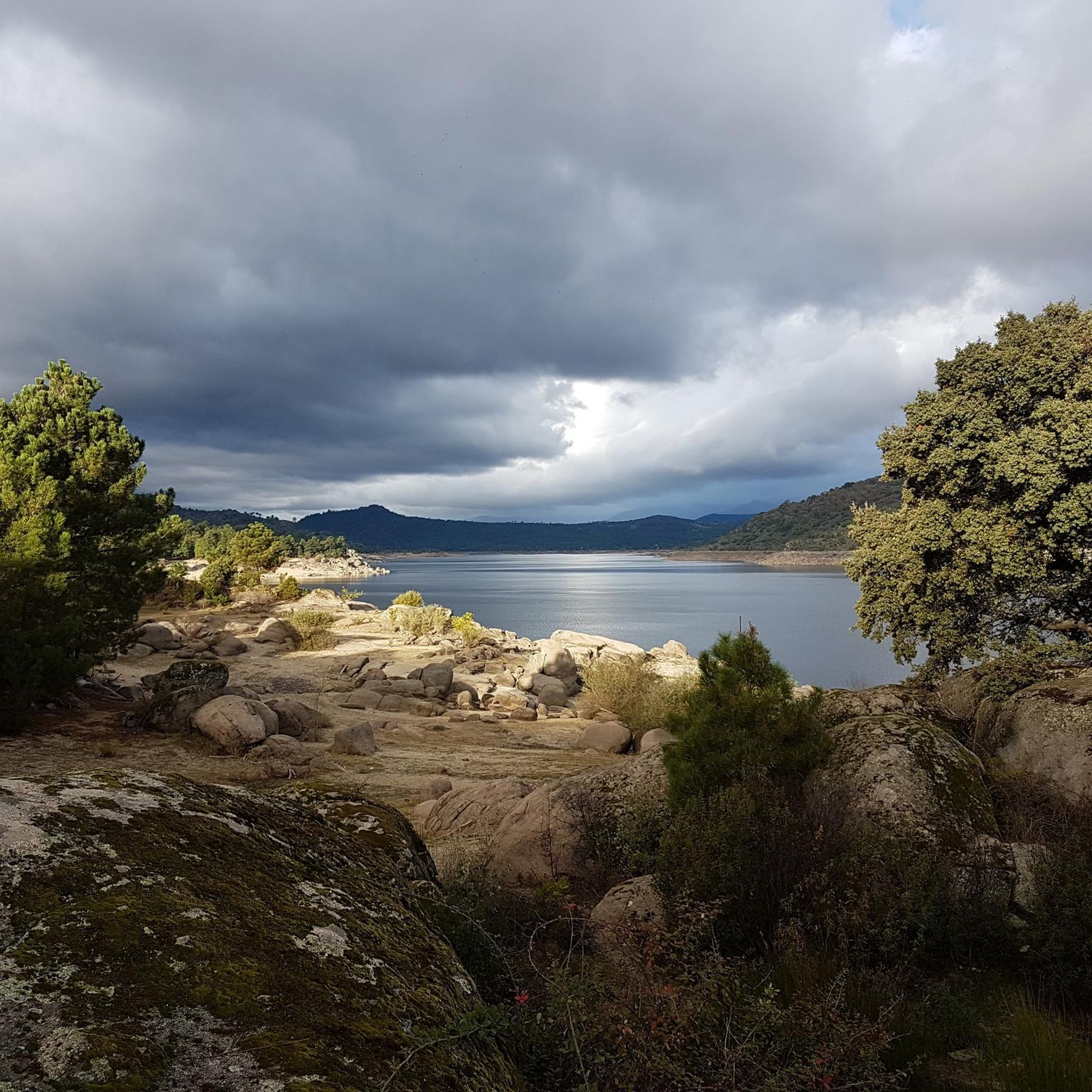
The reservoir formed in the Pajarero gorge, which we can observe from its dam. It is a beautiful and ideal place for hiking or simply relaxing in the middle of nature. There is a circular route that crosses the surrounding chestnut grove, where there is also a viewpoint.
3
0
Casillas is a municipality in the province of Ávila, located at an altitude of 1012 m, at the beginning of the Tiétar valley. It is surrounded by an extensive forest of chestnut and oak trees. If you want to know its resin past, I recommend visiting the ethnographic museum of Resin, which has two exhibitions, in two large resin huts.
3
0

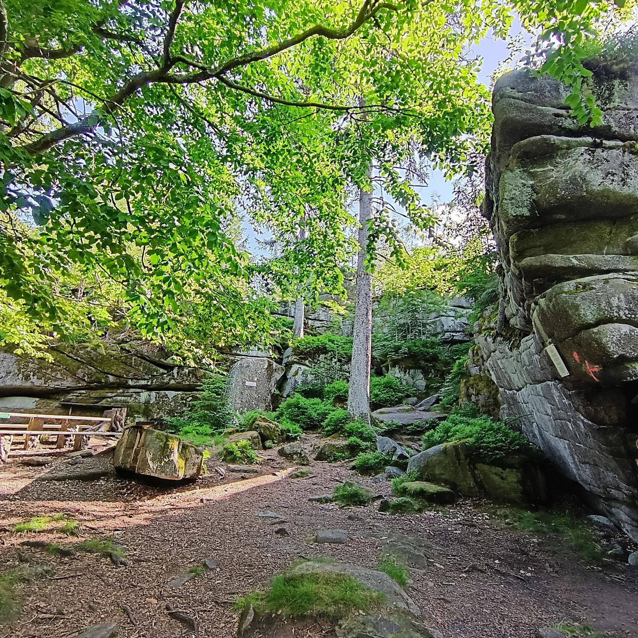
Picnic area with lots of shade. It has stone tables and a fountain.
1
0

Old construction that represented a well where food was stored for all the inhabitants of this area of the Sierra de Gredos. The place is preserved and beautiful!
2
0
Frequently Asked Questions
How many hiking trails are available around Santa María Del Tiétar?
There are over 70 hiking routes in the Santa María Del Tiétar area, offering a wide range of experiences from easy strolls to more challenging treks through the Tiétar Valley's diverse landscape.
Are there any easy hiking routes suitable for beginners or families?
Yes, Santa María Del Tiétar offers several easy routes. There are 19 easy trails available, perfect for a relaxed outing. While specific family-friendly routes aren't detailed, generally shorter, flatter trails are best. Consider exploring paths near the Pajarero Reservoir for gentle terrain.
What is the typical length and duration of hikes in this region?
Hikes around Santa María Del Tiétar vary significantly. You can find shorter loops like the Casillas loop from Casillas, which is 4.6 miles (7.4 km) and takes about 2 hours 17 minutes. For longer adventures, routes like the Casillas – El Abuelo loop from Casillas stretch to 12.4 miles (19.9 km) and can take over 6 hours.
Are there challenging hikes for experienced trekkers?
Absolutely. For those seeking a challenge, there are 6 difficult routes in the area. The Casillas – El Abuelo loop from Casillas is a notable difficult trail, covering 12.4 miles (19.9 km) with significant elevation gain, leading through varied terrain towards the El Abuelo area.
Are there any circular hiking routes in Santa María Del Tiétar?
Yes, many of the trails in the region are circular, allowing you to start and end at the same point. Examples include the popular Casillas loop from Casillas and the Pajarero Reservoir – Casillas loop from Santa María del Tiétar.
What kind of natural attractions or landmarks can I see along the trails?
The region is rich in natural beauty and historical sites. You can explore the Puerto de Casillas – Entrance to the Valle de Iruelas Nature Reserve, marvel at the ancient El Abuelo Chestnut Tree (Castañar de El Tiemblo), or visit the Puente Mosquea. The Road through the Iruelas Valley also offers scenic views.
Is Santa María Del Tiétar a good destination for dog-friendly walks?
While specific dog-friendly regulations can vary by trail or protected area, many natural trails in the Tiétar Valley are generally suitable for walks with dogs, provided they are kept under control. It's always advisable to check local signage for any restrictions, especially in nature reserves.
Where can I find parking for trailheads in Santa María Del Tiétar?
Parking is typically available near the starting points of many popular trails, especially in and around the villages like Casillas and Santa María del Tiétar. For routes starting from villages, look for public parking areas. For more remote trailheads, roadside parking might be an option, but always ensure you are not obstructing access or private property.
What do other hikers say about the trails in Santa María Del Tiétar?
The hiking routes in Santa María Del Tiétar are highly regarded by the komoot community, with an average score of 4.6 stars from over 70 reviews. Hikers often praise the diverse landscapes, from forested hills to reservoir views, and the well-maintained paths that cater to various skill levels.
Are there any hidden gem trails or less-known routes to explore?
Beyond the most popular routes, the region's network of over 70 trails means there are many opportunities to discover quieter paths. Exploring the less-trafficked sections of the Tiétar Valley, particularly those that venture deeper into the forested areas away from the main villages, can reveal serene and less-known spots.
Can I find cafes or places for refreshments near the hiking trails?
Yes, the villages of Santa María del Tiétar and Casillas, which serve as common starting points for many hikes, offer cafes, restaurants, and shops where you can find refreshments before or after your hike. It's a good idea to stock up on water and snacks before heading out on longer trails.
What is the best time of year to go hiking in Santa María Del Tiétar?
The Tiétar Valley generally offers pleasant hiking conditions during spring (April-May) and autumn (September-October) when temperatures are mild and the scenery is vibrant. Summer can be hot, making early morning or late afternoon hikes preferable. Winter offers cooler, crisp air, but some higher elevation paths might be colder.
Most popular routes around Santa María Del Tiétar
Most popular attractions around Santa María Del Tiétar

Get inspired with the komoot mobile app


Explore more
Browse the best Hikes in other regions.
