The best running trails around Malagón
5.0
(1)
62
runners
17
runs
Jogging routes Malagón offer a diverse landscape for runners, ranging from flat, open areas to more undulating terrain. The region features a mix of natural parks, such as the wetlands of Las Tablas de Daimiel, and the more elevated areas of the Sierra de Malagón. These varied environments provide options for different running preferences and fitness levels.
Best jogging routes around Malagón
- The most popular jogging route is Las Tablas de Damiel — circular por el Parque Nacional, a 4.9 miles (7.9 km) trail that takes 50 minutes to complete. This route offers a flat, circular path through a national park.
- Another top favourite among local runners is Sierra de Malagón — circular por Las Navas de Malagón, a difficult 11.3 miles (18.2 km) path. This route provides a challenging experience with significant elevation gain through the Sierra de Malagón.
- Local runners also love the Malagón loop from Malagón, a 4.7 miles (7.6 km) trail leading through the local surroundings, often completed in about 47 minutes.
- Jogging around Malagón is defined by wetlands, hills, and recreational areas. The network offers options for different ability levels, from moderate loops to more challenging mountain trails.
- The routes in Malagón are highly rated by the komoot community with an average score of 5.0 stars from over 1 review. More than 20 runners have used komoot to explore Malagón's varied terrain.
Last updated: October 11, 2026
1
runners
7.86km
00:51
20m
20m
Moderate run. Good fitness required. Mostly paved surfaces. Suitable for all skill levels.
1
runners
18.2km
02:27
500m
500m
Hard run. Very good fitness required. Mostly paved surfaces. Suitable for all skill levels.

6
runners
12.2km
01:20
100m
100m
Moderate run. Good fitness required. Mostly paved surfaces. Suitable for all skill levels.
6
runners
6.39km
00:40
40m
40m
Moderate run. Good fitness required. Mostly paved surfaces. Suitable for all skill levels.
2
runners
9.68km
01:00
30m
30m
Moderate run. Good fitness required. Mostly paved surfaces. Suitable for all skill levels.
Get access to more routes and recommendations from other explorers.
Already have an account?
Our route recommendations are based on thousands of hikes, rides, and runs completed by other people on komoot.
Start today with a free account
Your next adventure awaits.
Tips from the Community

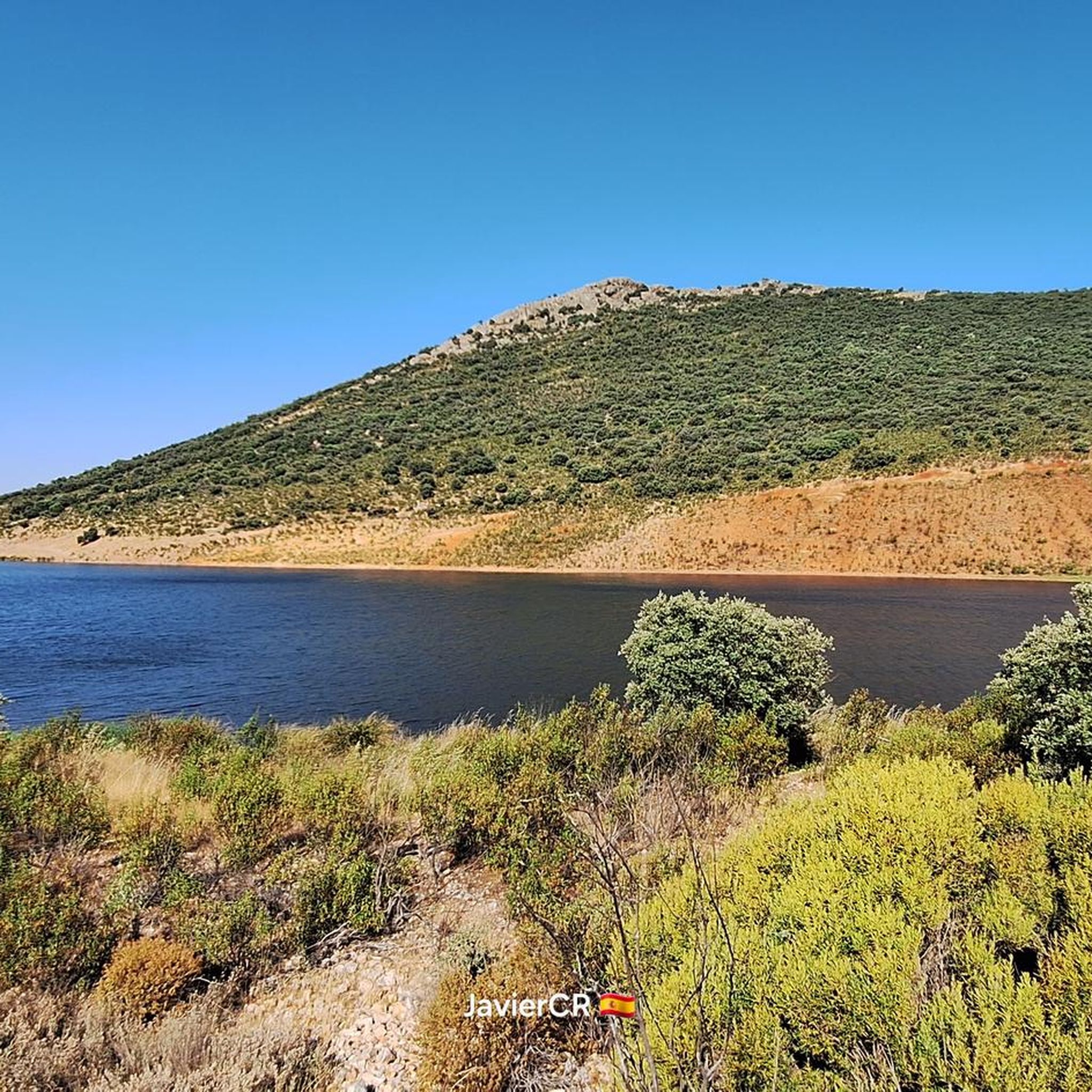
The Puente Navarro Reservoir is located on the middle course of the Guadiana River, within the province of Ciudad Real (Castilla-La Mancha). It is a hydraulic engineering project built in 1987 with the primary objective of flood control and flow regulation.
3
0
The Tablas de Daimiel are a wetland that is practically unique in Europe and the last representative of the ecosystem known as river tables, once characteristic of the central plain of our Peninsula. It is a complex ecosystem that combines the characteristics of a flood plain, produced by the overflow of the Guadiana and Gigüela rivers at their confluence, with those of an area of discharge of groundwater from a large aquifer.
3
0
A wetland that is practically unique in Europe and the last representative of the ecosystem known as river tables, once characteristic of the central plain of our Peninsula.
6
0
The Bañuelos River Bridge from Roman times surprises us with its ten eyes, today battered awaiting rehabilitation, formed by brick vault arches, joined with lime and sand mortar. On the right bank of the river next to the bridge is the Carrillo Mill, named after its first owner. It is a construction from 1713, made with masonry walls and thick cylindrical buttresses, covered with wooden trusses and curved tiles that preserve the original machinery.
35
0
In the area, known as El Chaparral, there is a recreation area, ideal for walking, watching water birds and for children and pets to play safely, with magnificent views of the Malagón mountain range.
19
0
The Bañuelos River Bridge from Roman times surprises us with its ten eyes, today battered awaiting rehabilitation, formed by brick vault arches, joined with lime and sand mortar. On the right bank of the river next to the bridge is the Carrillo Mill, named after its first owner. It is a construction from 1713, made with masonry walls and thick cylindrical buttresses, covered with wooden trusses and curved tiles that preserve the original machinery.
17
0

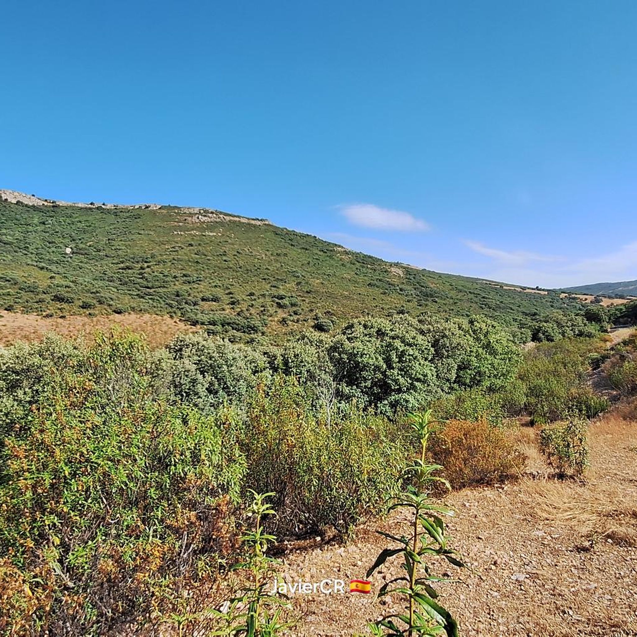
Above the town of Malagón we find this mountain range that bears the same name, the Sierra de Malagón. From the top you can see incredible views not only of the center but also of Las Navas de Malagón.
0
0
This is the channel that collects and carries the water that comes from the Gasset Reservoir and that, depending on the water there, is full or completely empty.
1
0
Frequently Asked Questions
Are there easy running routes suitable for beginners in Malagón?
Yes, Malagón offers several moderate running routes that are suitable for beginners looking for a good workout without extreme difficulty. For example, the Las Tablas de Damiel — circular por el Parque Nacional is a relatively flat, circular path through a national park, ideal for an accessible run.
Can I find shorter running routes, for example, around 5k, in the Malagón area?
Absolutely. Many of the running routes in Malagón are well-suited for shorter distances. The Las Tablas de Damiel — circular por el Parque Nacional is approximately 7.9 km (4.9 miles), and the Malagón loop from Malagón is about 7.6 km (4.7 miles), both offering excellent options for a run around or slightly above 5k.
Are there circular running routes available in Malagón?
Yes, many of the running trails around Malagón are designed as circular routes, which are great for starting and ending in the same location. Popular options include the Las Tablas de Damiel — circular por el Parque Nacional and the challenging Sierra de Malagón — circular por Las Navas de Malagón.
What kind of terrain can I expect on running routes in Malagón?
The Malagón region offers a diverse landscape for runners. You can expect a mix of flat, open areas, especially around the wetlands of Tablas de Daimiel National Park, and more undulating terrain with significant elevation gain in the elevated areas of the Sierra de Malagón. This variety caters to different running preferences and fitness levels.
Are there any scenic running routes with viewpoints in Malagón?
Yes, the region boasts scenic routes, particularly those venturing into the Sierra de Malagón. While specific viewpoints on running routes aren't always marked, the natural beauty of the area, including highlights like the Observation point and Isla Viewpoint near Tablas de Daimiel, offers picturesque backdrops for your run.
What are some natural attractions or landmarks I might see while running in Malagón?
Runners in Malagón can encounter several natural attractions. The Tablas de Daimiel National Park is a significant wetland area, and you might also come across natural monuments like Los Hervideros. For those seeking higher ground, the region also features mountain peaks such as Peña Picón.
What do other runners say about the trails in Malagón?
The running routes in Malagón are highly rated by the komoot community, with an average score of 5.0 stars from over 1 review. Runners often praise the diverse terrain, from flat national park paths to challenging mountain trails, and the opportunity to explore both wetlands and elevated areas.
Are there any running routes that pass through recreational areas?
Yes, some routes offer access to recreational areas. For instance, the El Chaparrillo Recreation Area loop from Malagón is a moderate 7.4 km (4.6 miles) route that takes you through local surroundings, including this recreational space.
How many running routes are there in total around Malagón?
There are approximately 8 running routes available around Malagón, offering a variety of distances and difficulty levels to suit different preferences.
What is the best time of year for running in Malagón?
Malagón's climate generally allows for running year-round, but spring and autumn offer the most pleasant temperatures. Summers can be hot, especially in open areas, while winters are mild, making them suitable for running, particularly on routes with less exposure.
Are there any challenging running routes for experienced runners in Malagón?
Yes, experienced runners looking for a challenge will find options like the Sierra de Malagón — circular por Las Navas de Malagón. This difficult 18.2 km (11.3 miles) route features significant elevation gain through the Sierra de Malagón, providing a demanding experience.
Most popular attractions around Malagón

Get inspired with the komoot mobile app


Explore more
Browse the best Running Trails & Routes in other regions.
