The best road cycling routes around Valle De Losa
4.7
(41)
2,366
riders
66
rides
Road cycling routes around Valle De Losa traverse a diverse topography within the province of Burgos, Spain. The region features lower valley areas with cultivated fields, transitioning to expansive pastures and dense forests at higher elevations. The Jerea River carves through the valley, creating distinct geological formations, while the Montes de la Peña and Sierra Salvada to the east present a "cuesta" relief with dramatic cliffs and gentler slopes. This varied landscape offers a range of terrains suitable for road…
Last updated: July 5, 2026
5.0
(3)
82
riders
74.1km
03:53
1,340m
1,340m
Hard road ride. Very good fitness required. Mostly well-paved surfaces and easy to ride.
7
riders
Moderate road ride. Good fitness required. Mostly well-paved surfaces and easy to ride.

Sign up for free
202
riders
110km
06:01
2,200m
2,200m
Hard road ride. Very good fitness required. Mostly well-paved surfaces and easy to ride.
4.3
(3)
37
riders
65.0km
03:00
670m
670m
Moderate road ride. Good fitness required. Some segments of this route may be unpaved and difficult to ride.
4.3
(3)
31
riders
63.7km
03:06
730m
730m
Moderate road ride. Good fitness required. Some segments of this route may be unpaved and difficult to ride.
Get access to more routes and recommendations from other explorers.
Sign up for free
Already have an account?
Our route recommendations are based on thousands of hikes, rides, and runs completed by other people on komoot.
Start today with a free account
Your next adventure awaits.
Login or Signup
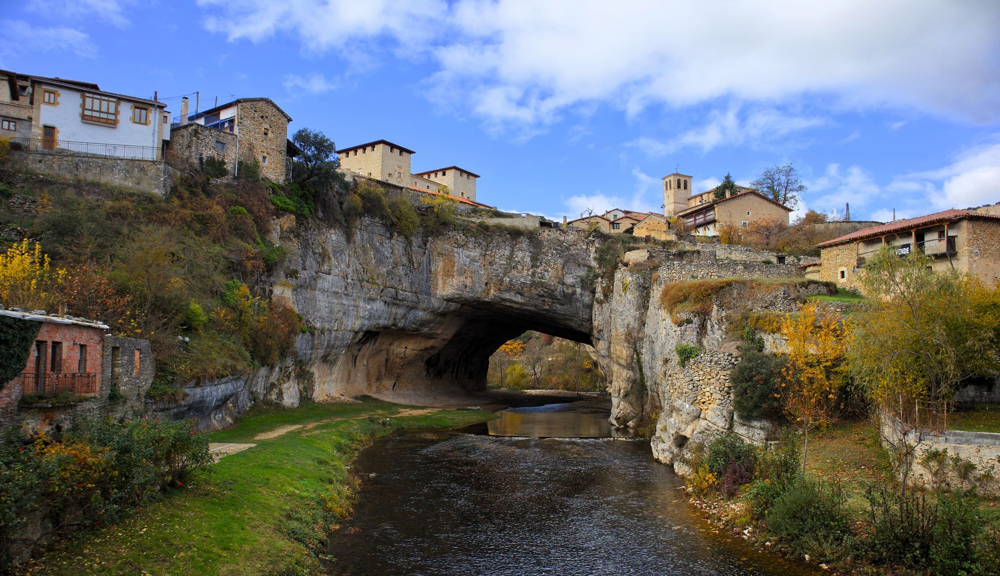
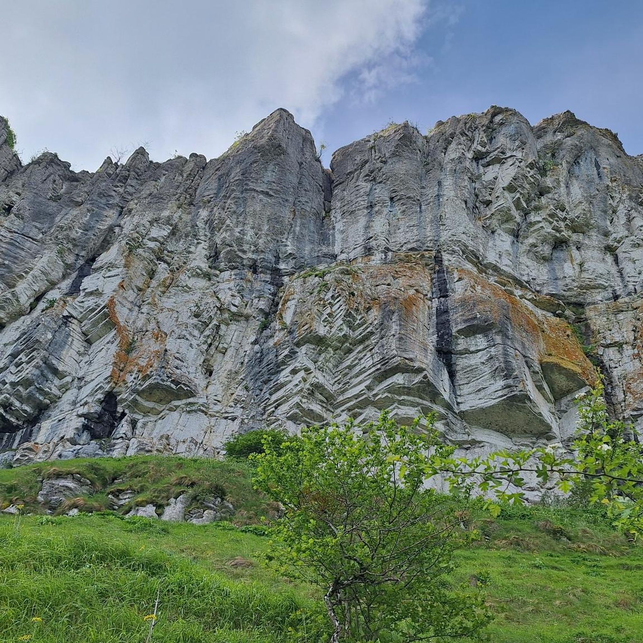
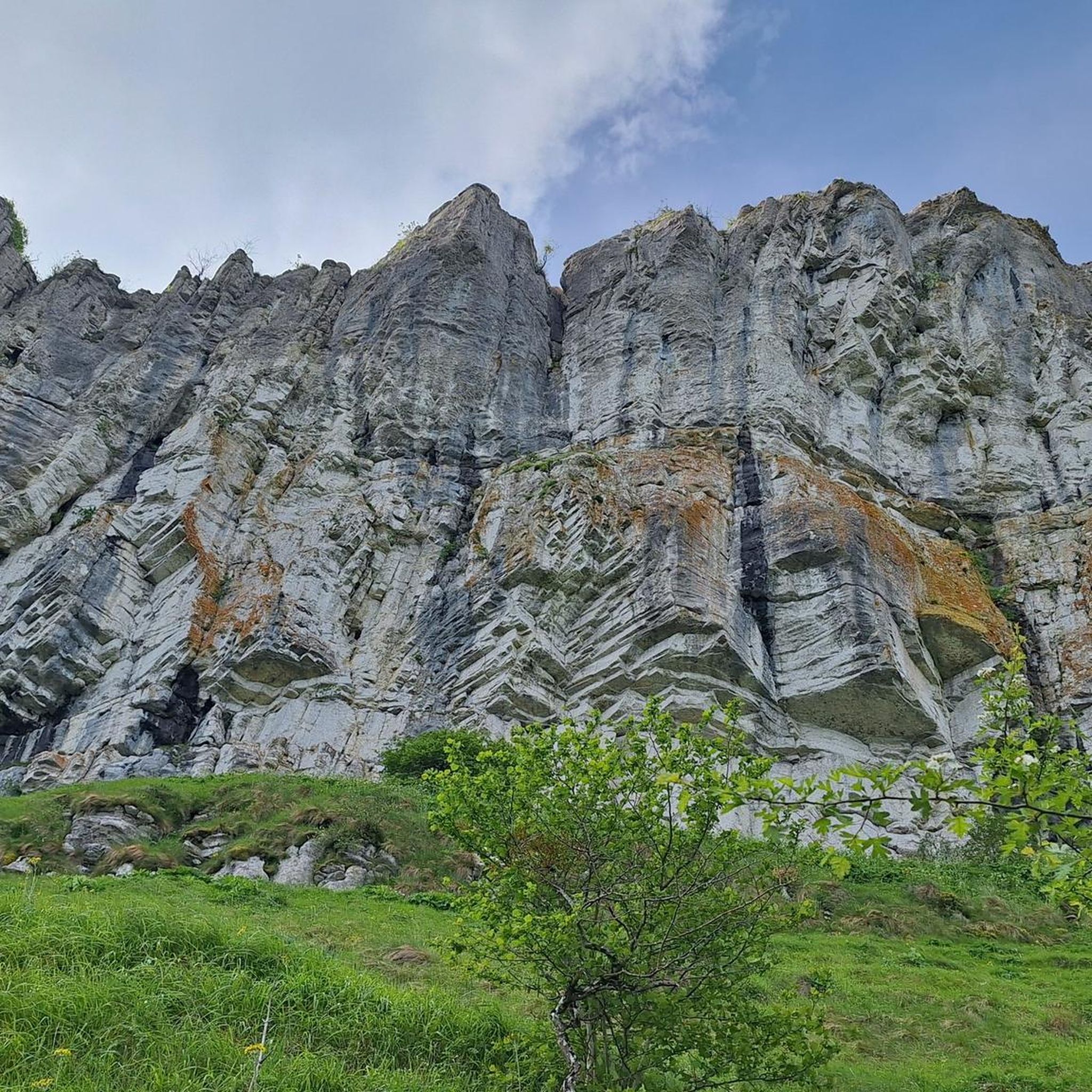
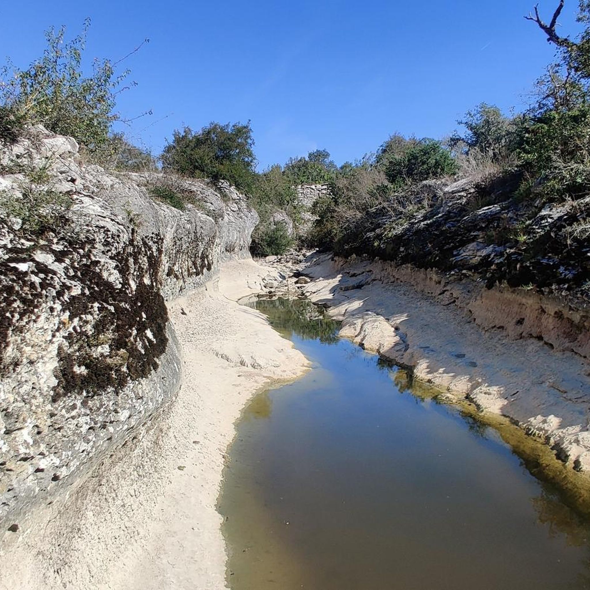

Other adventures around Valle De Losa

Tips from the Community

During the week you can go up and down without encountering any cars; the road is in good condition and very quiet.
0
0

Mikel Landa's training ground. The climb to La Barrerilla from Orduña is beautiful, offering a natural view of the Orduña Valley.
0
0

That's not correct. From Los Tornos, you can't see Lanestosa. :( If you went up the N-620, you've passed through Lanestosa. But from the top of the pass, what you see is Soba. ;) If you went up through Fresnedo, you can't see it either.
0
0

Spectacular panoramic views. Right in the valley ahead, Lanestosa, the westernmost town in Bizkaia bordering Cantabria.
0
0

Good starting point for several routes.
0
0
On the dividing line between Araba and Burgos.
2
0
Excellent description at: https://www.altimetrias.net/aspbk/verPuerto.asp?id=595
0
0

Frequently Asked Questions
How many road cycling routes are available in Valle De Losa?
Valle De Losa offers a wide selection of road cycling routes, with over 50 options available. These routes cater to various skill levels, including 4 easy, 29 moderate, and 23 difficult trails.
What is the best time of year for road cycling in Valle De Losa?
The diverse topography of Valle De Losa, with its cultivated fields, dense forests, and mountainous areas, makes it suitable for cycling through much of the year. Spring and autumn generally offer pleasant temperatures and vibrant scenery, ideal for exploring the region's varied terrain.
What is the general difficulty level of road cycling routes in Valle De Losa?
Road cycling in Valle De Losa offers a range of difficulties. You'll find routes like the moderate Between the Sierras de Carbonilla and Sierra Salvada — circular from Villaluenga de Losa, which provides varied terrain and scenic views. For more experienced cyclists, there are challenging climbs such as the Orduña and La Barrerilla Passes Loop, featuring significant ascents over mountain passes.
Are there any challenging climbs for experienced road cyclists in Valle De Losa?
Yes, experienced road cyclists will find challenging climbs in Valle De Losa. The Montes de la Peña and Sierra Salvada areas offer dramatic 'cuesta' relief with significant ascents. The climb to Pico del Fraile from Relloso, for instance, provides magnificent vistas and includes the historic 19th-century Complacera tunnel. Routes like the difficult Collado de Asón – La Sía Pass loop from Cadagua also feature substantial elevation gains.
What natural features or landmarks can I see while road cycling in Valle De Losa?
Valle De Losa is rich in natural beauty and historical landmarks. You can cycle along the valley of the Jerea River, which features unique geological formations, including the rock supporting the Romanesque hermitage of San Pantaleón de Losa. Other notable sights include the Purón River Gorge, the source of the Jerea River near the Cueva del Agua, and various mountain passes like Orduña Pass and Barrerilla Pass.
Are there any circular road cycling routes in Valle De Losa?
Yes, Valle De Losa offers several circular road cycling routes. An example is the moderate Between the Sierras de Carbonilla and Sierra Salvada — circular from Villaluenga de Losa, which takes you through varied terrain. Another option is the moderate La Horca Pass (902 m) – Cueva de los Moros loop from Valle de Losa, offering a scenic loop through the landscape.
What do other road cyclists enjoy most about road cycling in Valle De Losa?
The area is highly rated by the komoot community, with an average score of 4.6 stars from over 40 reviews. Cyclists often praise the diverse topography, which includes everything from cultivated fields in the lower valleys to dense forests and challenging mountain ascents. The varied terrain provides options for different ability levels and offers scenic exploration.
Are there any road cycling routes that pass through mountain passes?
Many road cycling routes in Valle De Losa incorporate mountain passes, offering both challenging climbs and rewarding views. For instance, the difficult Orduña and La Barrerilla Passes Loop features significant climbs over Orduña Pass and Barrerilla Pass. Another option is the Collado de Asón – La Sía Pass loop from Cadagua, which also leads through mountain passes.
Can I find routes with good viewpoints in Valle De Losa?
Absolutely. The region's varied topography, particularly the Montes de la Peña and Sierra Salvada, provides numerous opportunities for stunning viewpoints. The ascent to Pico del Fraile from Relloso offers magnificent vistas of the neighboring Valle de Mena and the nearby valleys of Álava and Vizcaya. Many routes traversing the higher elevations will reward you with panoramic scenery.
Are there any moderate road cycling routes suitable for a good day out?
Yes, there are many moderate road cycling routes perfect for a rewarding day out. The La Horca Pass (902 m) – Cueva de los Moros loop from Villalba de Losa is a moderate 63.6 km path that offers a balanced ride through the landscape. Another excellent choice is the Between the Sierras de Carbonilla and Sierra Salvada — circular from Villaluenga de Losa, providing varied terrain and scenic views without extreme difficulty.
What kind of terrain can I expect on road cycling routes in Valle De Losa?
Road cycling routes in Valle De Losa offer a diverse range of terrain. You'll encounter lower valley areas characterized by cultivated fields, primarily cereals and potatoes. As you move to higher elevations, the landscape transitions to expansive pastures and dense forests. The Jerea River valley provides unique geological formations, while the Montes de la Peña and Sierra Salvada feature dramatic 'cuesta' relief and karstic landscapes with caves and sinkholes.
Most popular routes around Valle De Losa
Most popular attractions around Valle De Losa

Get inspired with the komoot mobile app


Explore more
Browse the best Road cycling routes in other regions.
