The 12 Most Amazing Peaks around Castellfollit Del Boix
Mountain peaks around Castellfollit Del Boix offer a natural landscape of hills and forests in the Bages comarca of Catalonia, Spain. The region is characterized by its diverse orography and provides access to several notable summits. These peaks serve as significant landmarks and offer extensive views of the surrounding Catalan terrain. The area is distinct from Castellfollit de la Roca, focusing on its inland mountainous features.
Best mountain peaks around Castellfollit Del Boix
- The most popular mountain peaks is Sant…
Last updated: June 29, 2026
Sant Jeroni Summit
Highlight • Summit
Translated by Google •
Tip by

Sant Jeroni Trail, Montserrat
Highlight (Segment) • Trail
Translated by Google •
Tip by

Sign up now to discover places like this
Get recommendations on the best single tracks, peaks, & plenty of other exciting outdoor places.
Sign up for free
Coll de Can Maçana
Highlight • Mountain Pass
Translated by Google •
Tip by

Collbaix Summit
Highlight • Summit
Translated by Google •
Tip by

Cogulló of Can Torra
Highlight • Summit
Translated by Google •
Tip by

Sign up for free to discover even more peaks around Castellfollit Del Boix.
Sign up for free
Already have an account?
Start today with a free account
Your next adventure awaits.
Login or Signup
Popular around Castellfollit Del Boix
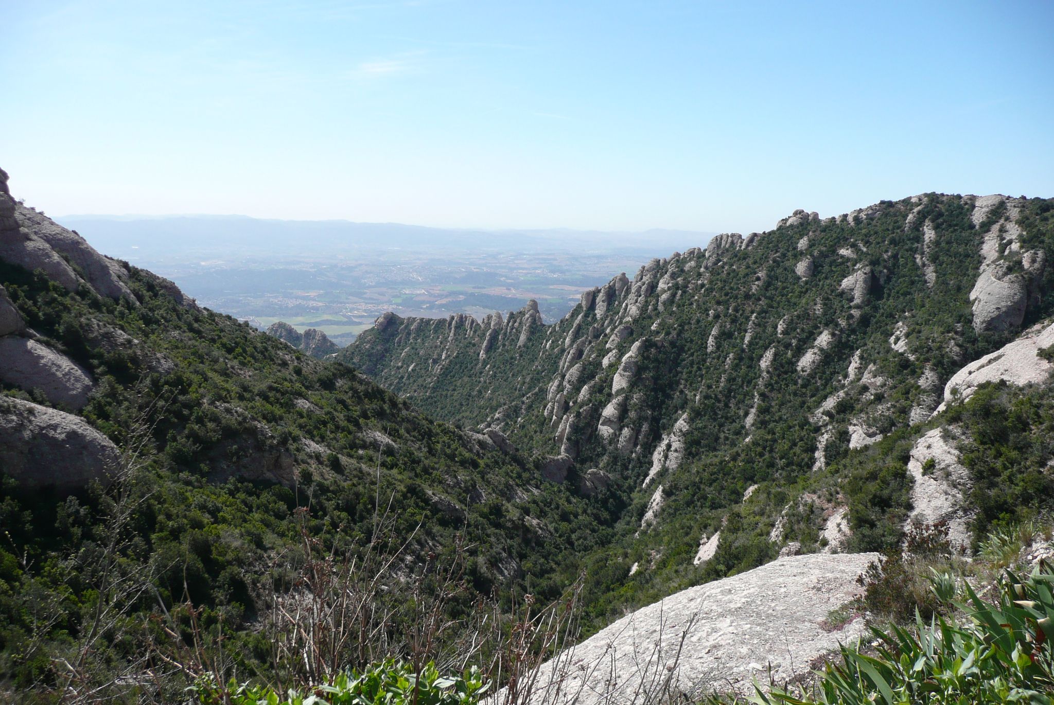
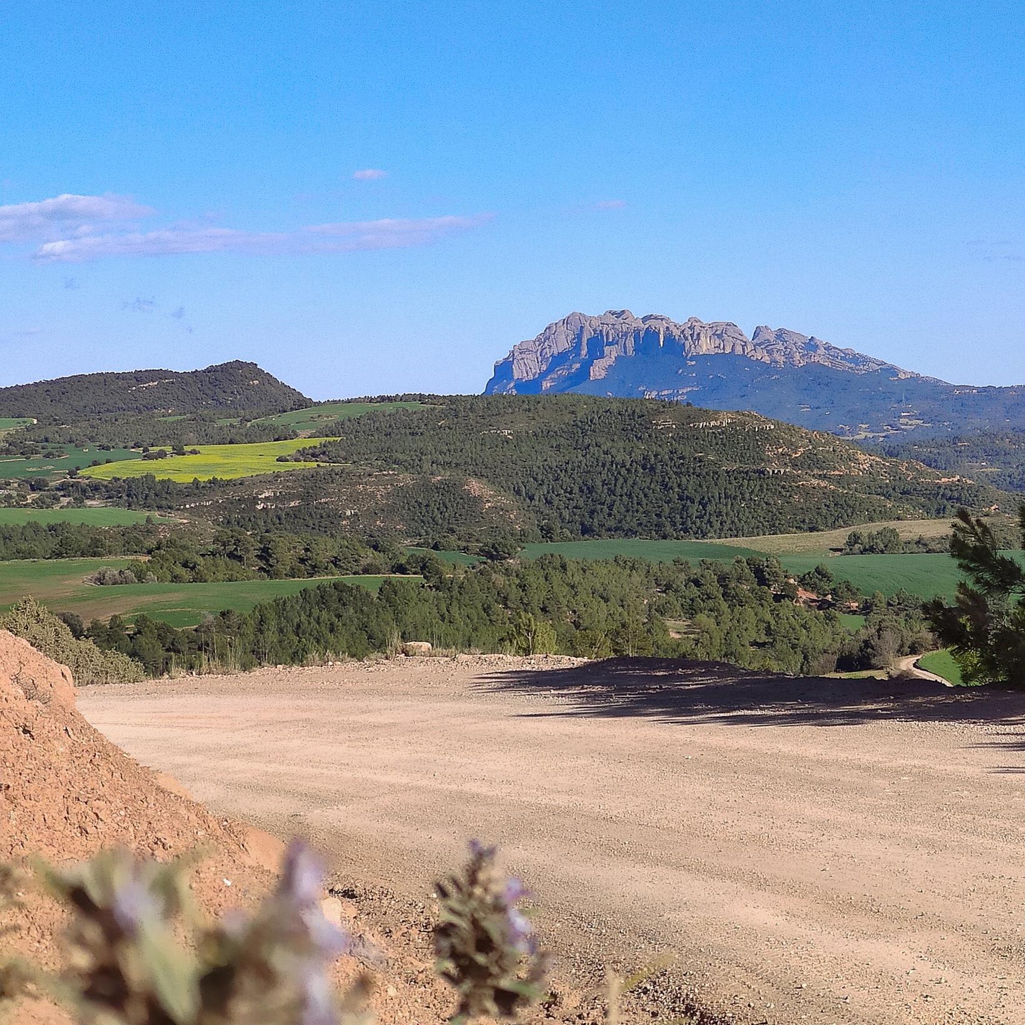
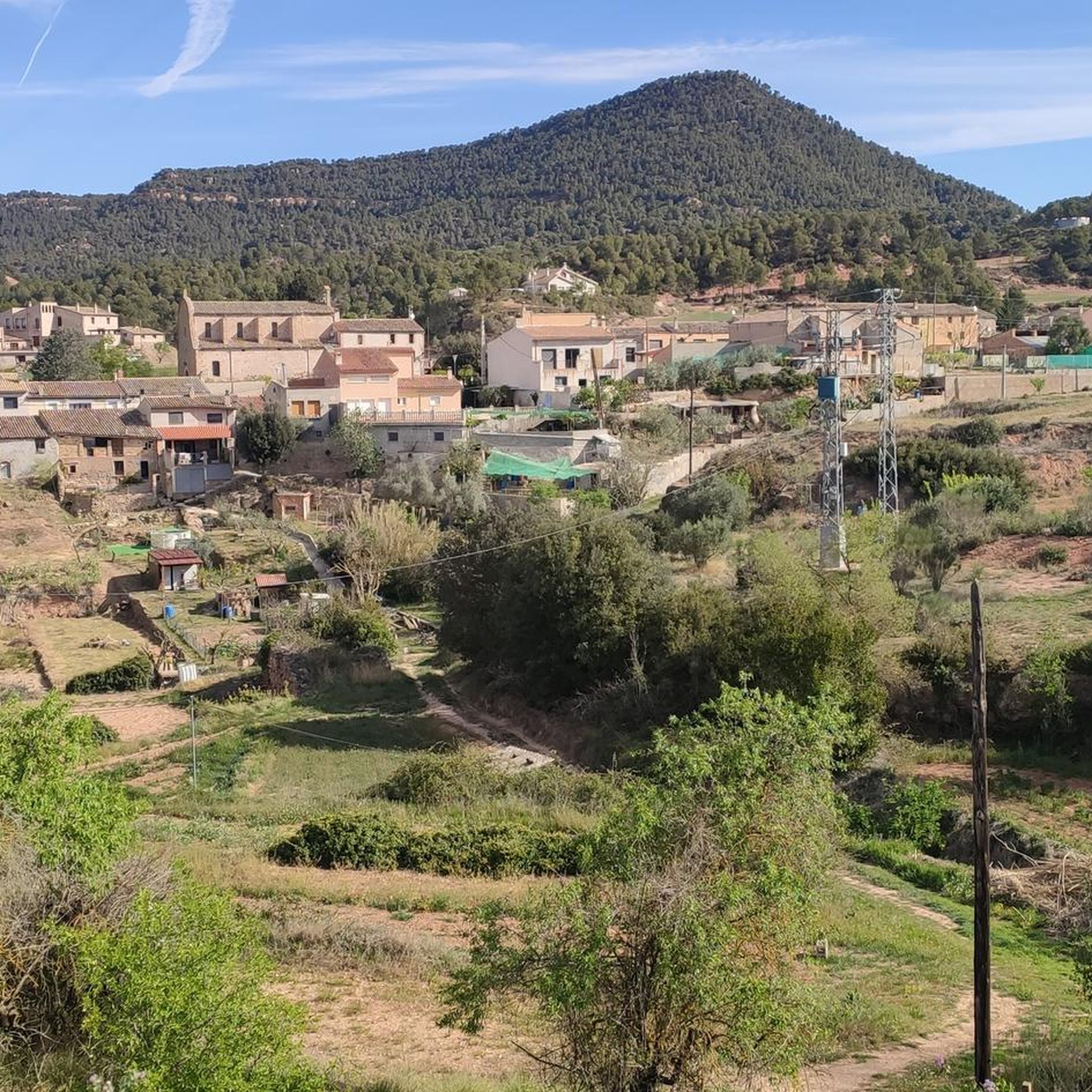
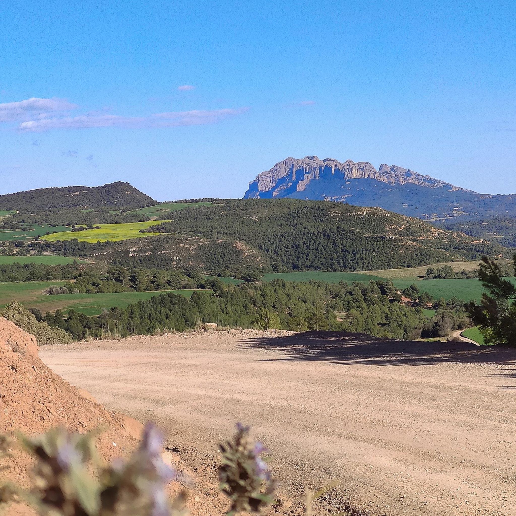
Other adventures around Castellfollit Del Boix

Tips from the Community

I really loved this place — it’s truly unique. Montserrat Monastery has an incredible atmosphere and stunning views. The hike from the monastery to Sant Jeroni is especially memorable: the trail includes many stone steps, but it’s well-maintained and quite manageable. Along the way, you’re constantly rewarded with breathtaking views of the необычні скельні formations and surrounding landscapes. At the top, the 360-degree panoramic view is absolutely spectacular and makes the whole hike worth it.
0
0

A classic for visitors to Montserrat and its surroundings.
0
0

Historic center of Catalonia, more beautiful than the official one.
0
0

You'll have good luck if you see the Magical mountain, and the descent after is fantastic :-)
0
0

Route with spectacular views. You must bring enough water and appropriate shoes.
0
0

Collbaix is a 543 meter peak, located in Sant Joan de Vilatorrada. It is the highest in the district of Manresa, to the west of Pla de Bages, which has an excellent observation point. It is listed as a large park by the Planning Plan of Manresa. The mountain is located between the streams of Rajadell and Fonollosa. The south side belongs to Manresa, the east to Sant Joan de Vilatorrada, where the town's expansion area is located. Rajadell has the area of Punta Sabata and Fonollosa with most of the summit, the west and the obac slope. Collbaix originated from the erosion of the surrounding land. A resistant layer of conglomerates protects the flat top from erosion, forming a plateau. The summit is made up of large blocks of stone separated from each other. At the top we can find a geodesic vertex (reference 280109001) A metal table with an engraved map of the region. This peak is included in the list of the 100 peaks of the FEEC.
1
0
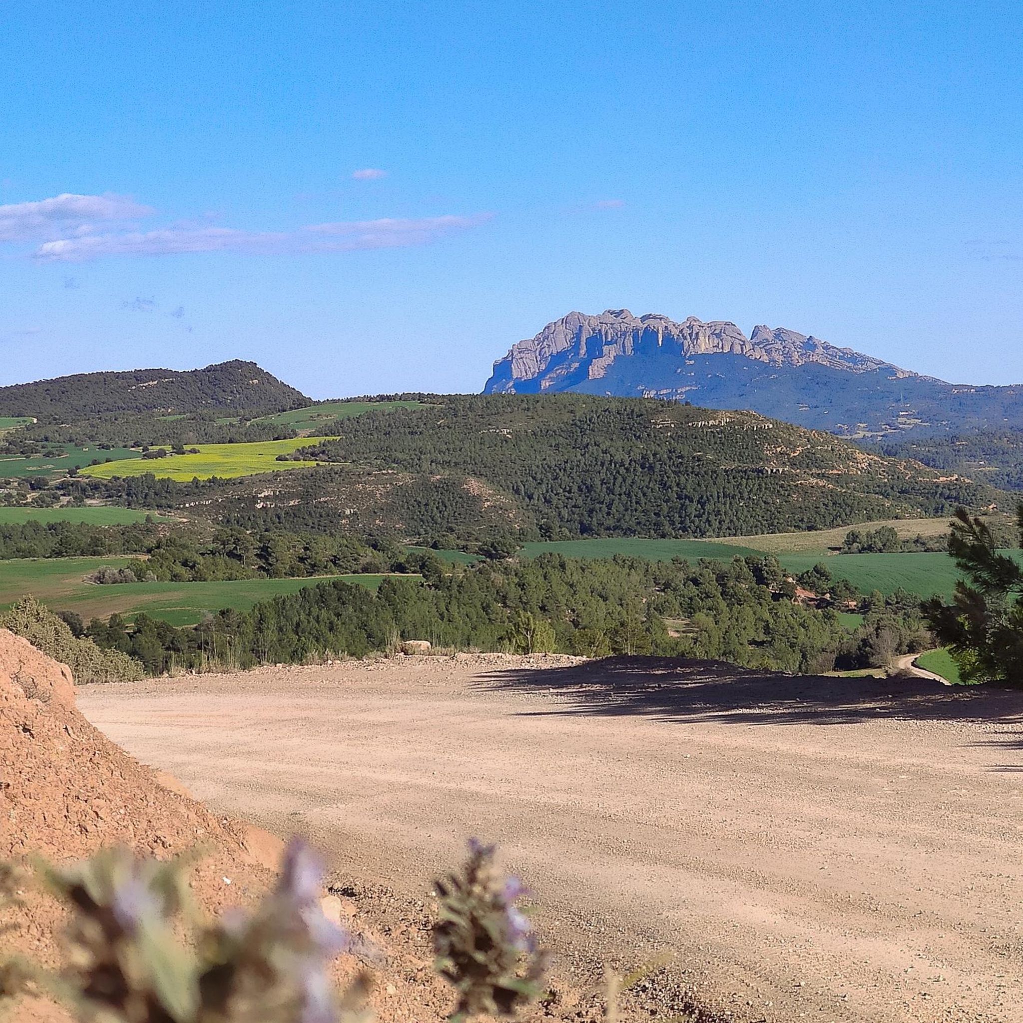
peak of Cogulló de Cal Torre, a mountain included in the list of the 100 Peaks of the FEEC and bordering the municipalities of Rajadell and Castellfollit del Foix. At its summit, the ridges of the Serra del Colomer (which we climbed), the Serra de Cal Torre (parallel to the first and also called the Palomes on some maps), and the ridge of La Serra converge , through which we will continue the path. From the top we have magnificent views of Montserrat, Sant Llorenç, Montseny and part of Central Catalonia. But on clear days we can also see the Pyrenees, such as Pedraforca, Gallina Pelada or Cadí. At the top we will find a wooden fire watch house as well as a geodesic vertex (reference 277112001). This peak is one of the disputed points for the centrality of Catalonia, for which, every September 11, a very crowded gathering is held there. Unfortunately, the summit is accessible to motor vehicles, motorbikes but also all-terrain vehicles, which damages the balance of the environment.
0
0

Can Maçana is an old farmhouse that gives its name to the hill in the westernmost part of the Montserrat massif. The pass is one of the natural passes between the regions of Bages and Anoia. The farmhouse belonged to the Maçana (or Massana) family during the 16th and 17th centuries. It later became the property of the Montserrat monastery (on the door you can see the coat of arms of the monastery, dated 1791). This part of the massif is known for its famous stone needles (the area is known as "the labyrinth of needles"). At this point there is a car park and it is the starting point of numerous signposted routes, such as those that go to Sant Pau Vell (ancient Romanesque church) or the historical space of the Battle of Bruc.
1
0
Frequently Asked Questions
What are the most notable mountain peaks to explore around Castellfollit Del Boix?
The region offers several significant peaks. Cogulló of Can Torra is a prominent peak often considered the geographical center of Catalonia, offering exceptional 360-degree views. Sant Jeroni Summit, the highest point of the Montserrat mountain, is also the highest peak in the Bages and Anoia counties. Additionally, Collbaix Summit provides an excellent observation point over the Manresa district.
What kind of panoramic views can I expect from the mountain peaks in this region?
From Cogulló of Can Torra, you can enjoy sweeping vistas of iconic Catalan landmarks such as Montserrat, the Serra del Cadí, and Pedraforca, with the Pyrenees visible on clear days. Sant Jeroni Summit also offers extensive views over the surrounding landscape, being the highest point in its counties. Montgròs Peak, with its large, flat top, provides a majestic panorama of almost the entire Montserrat massif.
Are there any easy or family-friendly mountain walks around Castellfollit Del Boix?
The ascent to Cogulló of Can Torra is generally considered to be of low difficulty, making it suitable for various fitness levels and families. While specific family-friendly mountain walks are not detailed for all peaks, the area around Castellfollit del Boix offers diverse terrain, and many routes can be adapted for easier excursions. For example, the Coll de Can Maçana area is noted as family-friendly and a starting point for various signposted routes.
What is the best time of year to visit the mountain peaks near Castellfollit Del Boix for hiking?
The region's Mediterranean climate generally makes spring and autumn ideal for hiking, offering pleasant temperatures and clear skies. Summer can be hot, especially at midday, while winter can bring cooler temperatures, though snow is less common at lower elevations. Checking local weather forecasts before your visit is always recommended.
What other outdoor activities can I do near the mountain peaks of Castellfollit Del Boix?
Beyond hiking, the area around Castellfollit Del Boix is excellent for cycling. You can find various road cycling routes, including options like 'El Prats del Rei and Copons' or 'La Llacuna – Font del Bosc loop'. For off-road adventures, there are gravel biking routes such as 'Pont de la O – View of Castellfollit del Boix loop'. Explore more options on the Road Cycling Routes around Castellfollit Del Boix and Gravel biking around Castellfollit Del Boix guide pages.
Are there any historical or cultural sites to see while exploring the mountain peaks?
Yes, the region combines natural beauty with historical interest. When hiking towards Cogulló of Can Torra, you can explore circular routes that pass by preromanesque ruins of Sant Miquel and the Santa Cecília de Grevalosa church. The area around Coll de Can Maçana also offers access to historical spaces like the Battle of Bruc and the ancient Romanesque church of Sant Pau Vell.
How accessible are the mountain peaks, and are there parking options?
Cogulló of Can Torra is accessible by foot from both Castellfollit del Boix and Rajadell, and can also be reached by car from Castellfollit del Boix. For other areas, like Coll de Can Maçana, there is a car park available, serving as a starting point for numerous routes. It's advisable to check specific trailhead information for parking availability.
What is the significance of Cogulló de Can Torra to the local community?
Cogulló of Can Torra is highly cherished by the local community. On September 11th, Catalonia's National Day (Diada Nacional), there is a tradition of planting a senyera (Catalan flag) on the summit, accompanied by a popular breakfast and civic event involving nearby towns. It is also considered by some to be the geographical center of Catalonia.
Are there specific hiking trails for mountaineering near Castellfollit Del Boix?
Yes, for those interested in more challenging mountain hikes, there are options available. For example, you can find routes like 'Sant Jeroni Summit – Cavall Bernat (Montserrat) loop' or 'Easy Multi-pitch Route loop from Can Maçana'. More details can be found on the Mountain Hikes around Castellfollit Del Boix guide page.
What makes Castellfollit Del Boix different from Castellfollit de la Roca?
Castellfollit Del Boix is a municipality in the Bages comarca known for its natural landscape of hills and forests, with prominent peaks like Cogulló of Can Torra. It focuses on inland mountainous features. In contrast, Castellfollit de la Roca is a different village famous for its dramatic basaltic cliff formation, offering a distinct geological and scenic experience.
Can I find circular hiking routes around the mountain peaks?
Yes, circular routes are available for exploring the area. For instance, when ascending Cogulló of Can Torra, you can find circular routes like the PR-C 132 and 137, which are approximately 14 km long and allow you to explore historical sites along the way. These routes offer a comprehensive experience of the natural and cultural landscape.
Most popular routes around Castellfollit Del Boix
Most popular attractions around Castellfollit Del Boix

Get inspired with the komoot mobile app


Explore more
See even more amazing summits around Castellfollit Del Boix with these guides:
