The best running trails around Mancha Real
3.8
(3)
137
runners
19
runs
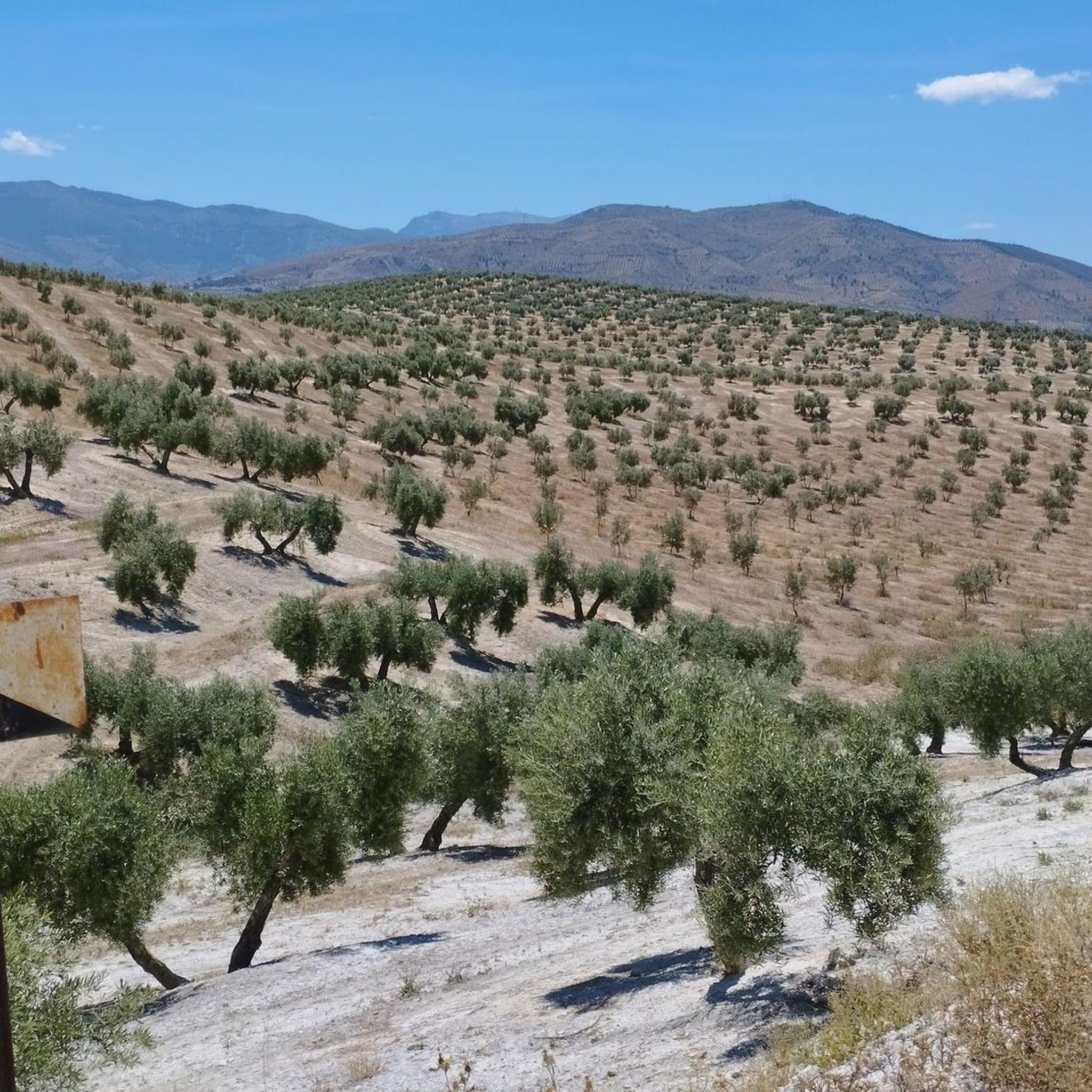
Jogging around Mancha Real offers a diverse landscape for runners, characterized by its varied terrain including hills and natural areas with significant elevation changes. The region features trails that ascend to viewpoints, providing panoramic vistas of the surrounding countryside. Runners can expect a mix of challenging climbs and more moderate paths, often leading through natural settings.
Best jogging routes around Mancha Real
- The most popular jogging route is El Morrón loop from Mancha Real, a 6.5 miles (10.4 km)…
Last updated: October 8, 2026
28
runners
22.4km
03:18
1,110m
1,110m
Hard run. Very good fitness required. Mostly paved surfaces. Suitable for all skill levels.
26
runners
10.1km
01:04
130m
130m
Moderate run. Good fitness required. Mostly paved surfaces. Suitable for all skill levels.

10
runners
7.34km
01:01
240m
240m
Moderate run. Good fitness required. Mostly paved surfaces. Suitable for all skill levels.
5
runners
10.3km
01:10
220m
220m
Moderate run. Good fitness required. Mostly paved surfaces. Suitable for all skill levels.
5
runners
27.0km
03:07
860m
860m
Hard run. Very good fitness required. Mostly paved surfaces. Suitable for all skill levels.
Get access to more routes and recommendations from other explorers.
Already have an account?
Our route recommendations are based on thousands of hikes, rides, and runs completed by other people on komoot.
Start today with a free account
Your next adventure awaits.

Tips from the Community

The "Edele en Loyale Villa de Mancha Real" is the honorary title awarded to Mancha Real, a municipality in the province of Jaén, in recognition of the loyalty and faithfulness of its inhabitants throughout history. This title highlights the municipality's importance in political and historical events, especially during periods of conflict or crisis.
10
0

In this square square, like the layout of the city, is the meeting center of the town where every summer Sunday the music bands encourage the citizens with splendid concerts.
2
0

One of the best climbs in Andalusia. The ascent begins as soon as you leave Mancha Real. The length of the climbs is 8.47 km with a positive drop of 793 m with an average gradient of 7.4%, so it is expected to be hard and long, reaching 2,012 m. Climb is used during the TransIberica race.
1
0
The church is the most significant building in Mancha Real and the most prestigious architects from the 16th to the 18th centuries have participated in its construction, such as Andrés de Vandelvira, Juan de Aranda and Eufrasio López de Rojas. The church is located in the Plaza de la Constitución.
3
0

Hill located in the natural park of Sierra Mágina in the province of Jaén. Its altitude is 2,078m It is linked to the main massif of Mágina by the port of La Mata
2
0
Peak where the municipalities of Pegalajar, Mancha Real and Torres meet, and from which there are spectacular views of the Bercho shade, one of the steepest and wildest areas in the municipality of Pegalajar. We can also enjoy incredible views of the Sierra de Jaén.
2
1

Once you arrive at the Los Buitres viewpoint, you will find two paths (avoid the geodesic point, you cannot pedal) if you go along the one on the left you return to 7 Pilillas and the other to Pegalajar.
0
0
Frequently Asked Questions
How many jogging routes are available in Mancha Real?
Mancha Real offers a good selection of running routes, with over 15 trails to explore. These include a mix of easy, moderate, and challenging options to suit different fitness levels.
Are there easy running routes in Mancha Real for beginners?
Yes, there are easy running options available. While many routes feature elevation changes, you can find paths suitable for beginners. For example, the region has at least one easy-rated route, and several moderate trails like Non-Cyclable Trail Section loop from Pegalajar are also manageable for those starting out.
Can I find challenging running trails with significant elevation in Mancha Real?
Absolutely. Mancha Real is known for its hills and natural areas with significant elevation changes, making it ideal for challenging runs. Routes like El Morrón loop from Mancha Real, which covers 6.5 miles (10.4 km) with over 560 meters of ascent, are rated difficult and offer substantial climbs.
Are there any longer running routes, for example, around 10km, in Mancha Real?
Yes, several running routes in the area are around 10km or longer. The El Morrón loop from Mancha Real is 10.4 km, and the Sierrezuela de Pegalajar loop from Pegalajar is just over 10 km, providing excellent options for longer runs.
Are there circular jogging routes in Mancha Real?
Many of the running trails in Mancha Real are circular, offering convenient start and end points. Popular examples include the La Charca de Pegalajar loop from Pegalajar and the La Charca de Pegalajar – Lakeside View of Pegalajar loop from Pegalajar, allowing you to return to your starting point without retracing your steps.
What kind of terrain can I expect on the running trails around Mancha Real?
Runners in Mancha Real can expect a diverse landscape characterized by varied terrain, including hills and natural areas. Trails often feature significant elevation changes, offering a mix of challenging climbs and more moderate paths, frequently leading through natural settings.
Are there running trails with viewpoints in Mancha Real?
Yes, the region features trails that ascend to viewpoints, providing panoramic vistas of the surrounding countryside. The hilly nature of Mancha Real means many routes offer rewarding views as you gain elevation.
What can I see along the jogging routes in Mancha Real?
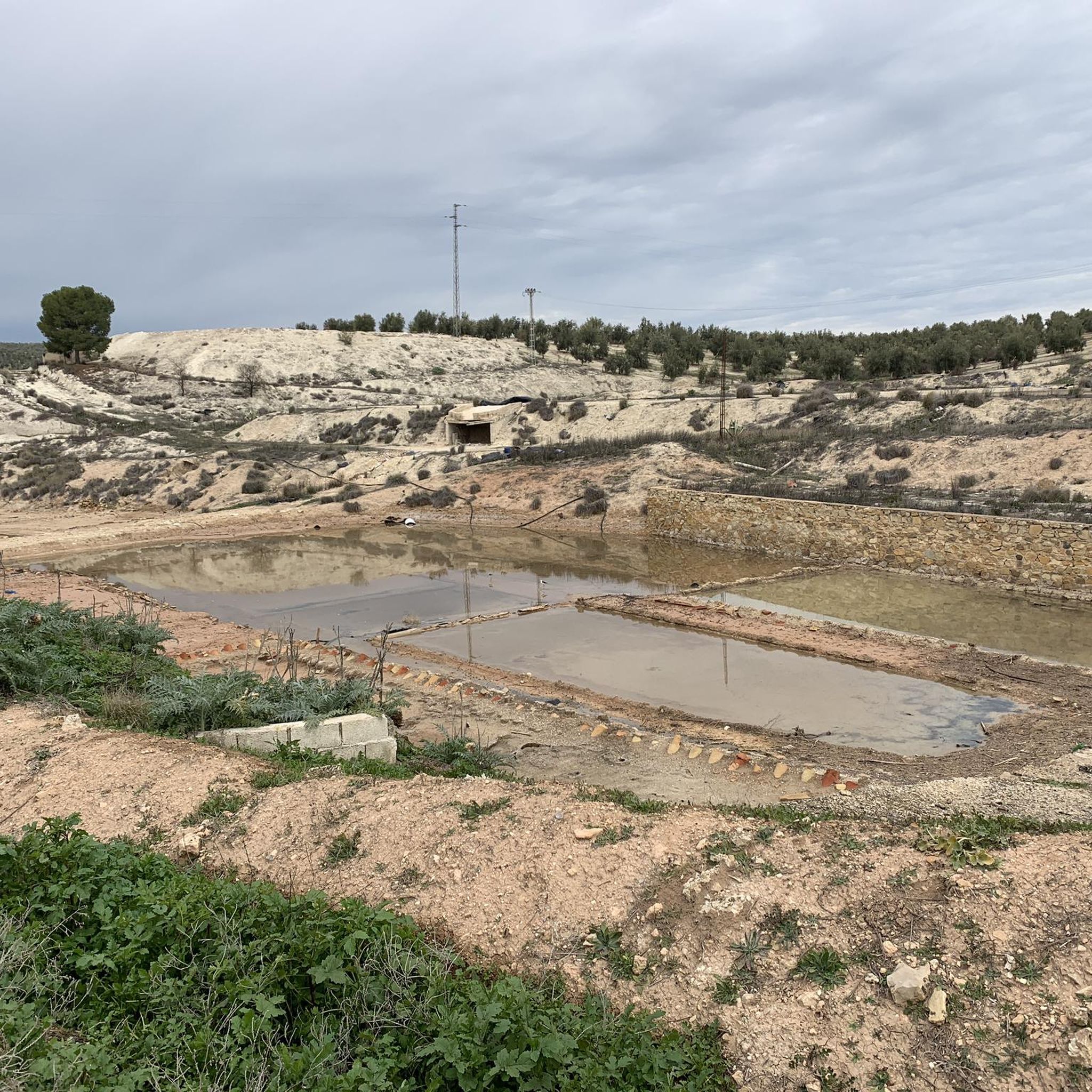
While running, you can enjoy the natural beauty of the area. Nearby attractions include the Entrance to the Sierra Mágina Natural Park and the serene La Charca de Pegalajar, a water feature that adds varied scenery to your run.
Are there any natural monuments or landmarks to explore near the running trails?
Beyond the trails, you can explore significant natural landmarks. The majestic Pico Mágina Summit (2,167 m) and the Almadén Summit Radio Repeater (2,078 m) are prominent features in the wider region, offering impressive sights.
What do other runners say about the trails in Mancha Real?
The running routes in Mancha Real are highly rated by the komoot community, with an average score of 4.0 stars. Over 100 runners have used komoot to explore the varied terrain, often praising the diverse landscape and the mix of challenging and moderate paths.
Are there any family-friendly running options in Mancha Real?
While many routes involve elevation, some moderate trails, especially those around natural features like La Charca de Pegalajar loop from Pegalajar, can be suitable for families looking for a less strenuous run. Always check the route details for distance and elevation to ensure it matches your family's ability.
Are dogs allowed on the running trails in Mancha Real?
Generally, dogs are welcome on many natural trails in Spain, especially if kept on a leash. However, specific rules can vary within natural parks or protected areas. It's always best to check local signage or park regulations for the specific trail you plan to run with your dog.
Most popular routes around Mancha Real
Most popular attractions around Mancha Real

Get inspired with the komoot mobile app


Explore more
Browse the best Running Trails & Routes in other regions.
