The best running trails around Horcajo De Montemayor
184
runners
13
runs
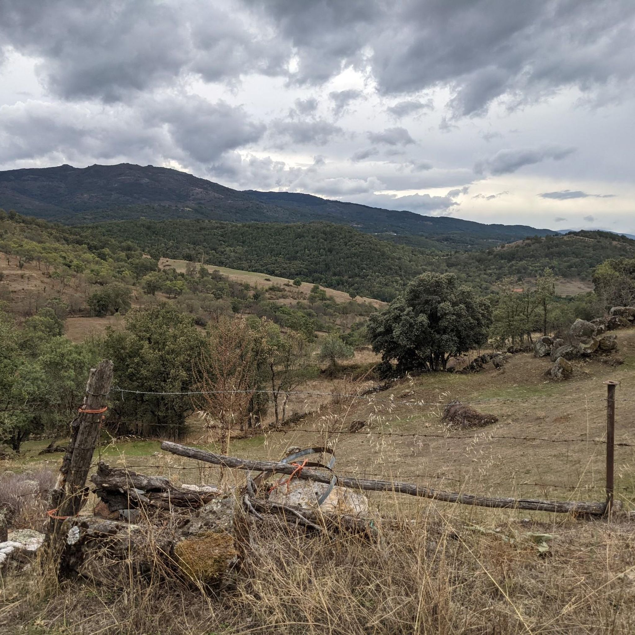
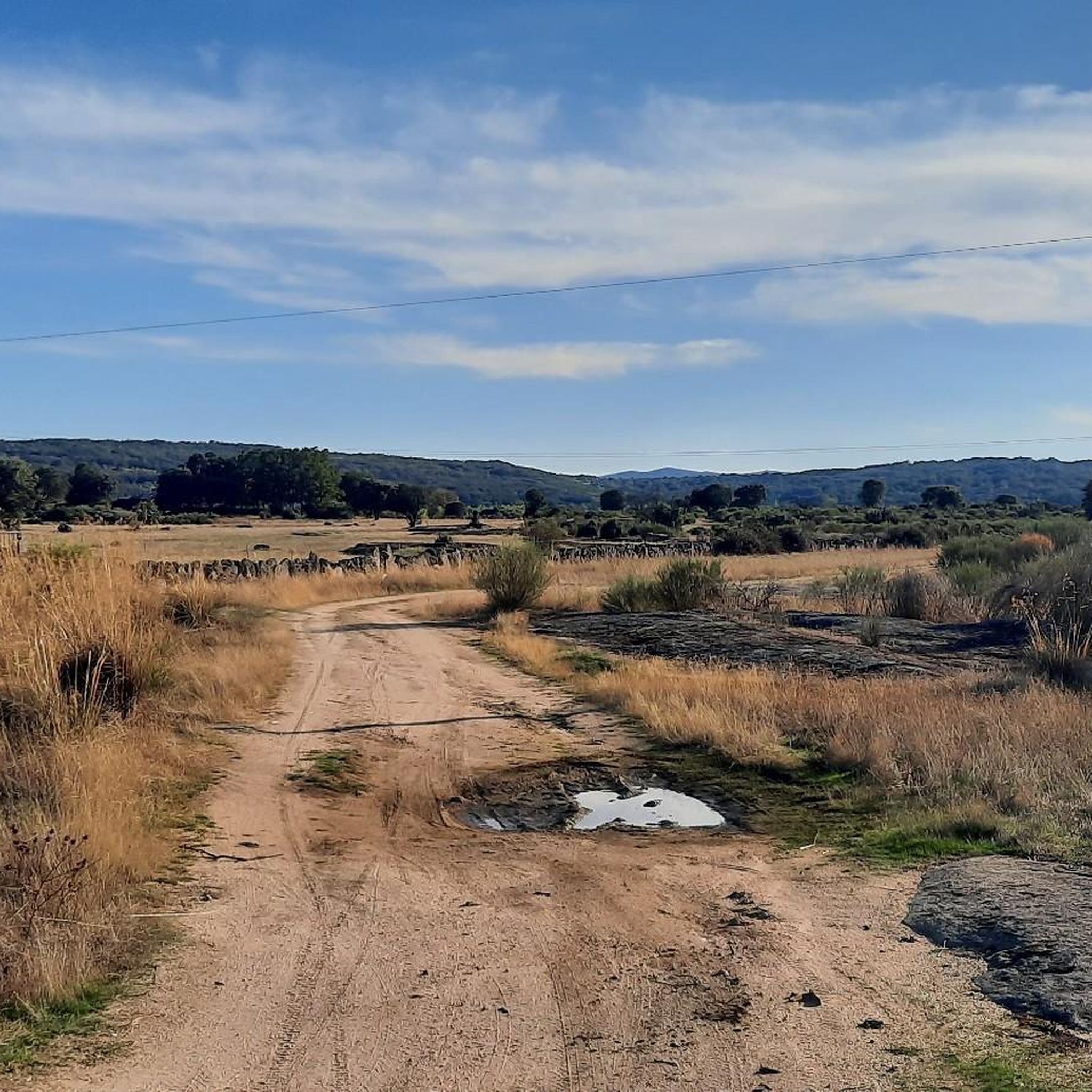
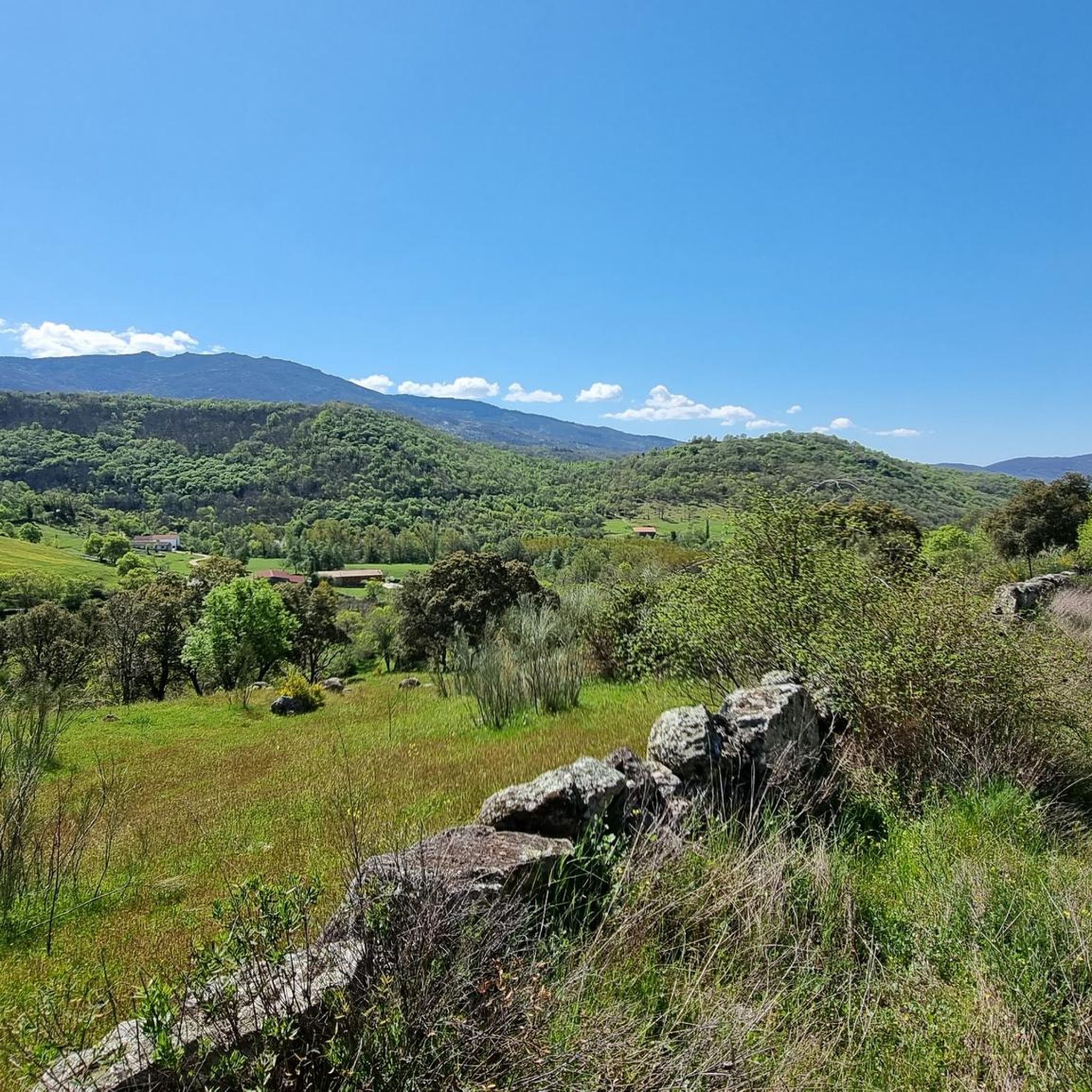
Jogging routes around Horcajo De Montemayor are situated between the Sierra de Béjar and Sierra de Francia in Salamanca, offering a diverse natural landscape. The region is characterized by its abundant vegetation, with extensive forests of oaks, ash trees, chestnut trees, and walnut trees, alongside numerous meadows. Water sources like the Valtornero stream and the Sangusín River, which features a Roman bridge, contribute to the scenic environment. The terrain includes varied elevations, providing options for different running experiences.
Best jogging…
Last updated: October 14, 2026
2
runners
10.2km
01:12
300m
300m
Jog the moderate 6.3-mile Vía de la Plata - Peñacaballera Loop, featuring varied terrain and the historic Roman Bridge of La Malena.
14
runners
7.95km
00:51
110m
110m
Moderate run. Good fitness required. Mostly paved surfaces. Suitable for all skill levels.

15
runners
11.7km
01:22
310m
310m
Hard run. Very good fitness required. Mostly paved surfaces. Suitable for all skill levels.
13
runners
13.0km
01:31
280m
280m
Moderate run. Good fitness required. Mostly paved surfaces. Suitable for all skill levels.
12
runners
13.6km
01:26
120m
120m
Moderate run. Good fitness required. Mostly paved surfaces. Suitable for all skill levels.
Get access to more routes and recommendations from other explorers.
Already have an account?
Our route recommendations are based on thousands of hikes, rides, and runs completed by other people on komoot.
Start today with a free account
Your next adventure awaits.
Tips from the Community

Usually cozy here, but today deserted.
10
0


What to see in Miranda del Castañar Medieval Walls: Over 600 meters remain intact, with four gates facing the cardinal directions: San Ginés, Nuestra Señora, La Villa, and El Postigo. Zúñiga Castle: A 15th-century fortress, symbol of the former County of Miranda. Although the interior is not open to the public, its exterior and keep are impressive. Square Bullring: Considered one of the oldest in Spain, built in the 16th century on the site of the former parade ground. Church of Santiago and San Ginés: Gothic in style (13th-16th centuries), with a detached 17th-century bell tower. Houses with Coats of Arms: More than 80 noble coats of arms adorn the facades, reflecting the town's aristocratic past.
1
0
Miranda del Castañar, one of the most beautiful villages in Spain, is located in the Sierra de Francia (Salamanca): Founded in 1213 by Alfonso IX of León as a town and council, it was the administrative capital of the Sierra de Francia. In the 15th century, the County of Miranda was created under the control of the Zúñiga family, consolidating its strategic importance.
1
0
Zúñiga Castle: A 15th-century fortress, symbol of the former County of Miranda. Although it is not open to the public, its exterior and keep are impressive.
1
0
What to see in Miranda del Castañar Medieval Walls: Over 600 meters remain intact, with four gates facing the cardinal directions: San Ginés, Nuestra Señora, La Villa, and El Postigo. Zúñiga Castle: A 15th-century fortress, symbol of the former County of Miranda. Although the interior is not open to the public, its exterior and keep are impressive. Square Bullring: Considered one of the oldest in Spain, built in the 16th century on the site of the former parade ground. Church of Santiago and San Ginés: Gothic in style (13th-16th centuries), with a detached 17th-century bell tower. Houses with Coats of Arms: More than 80 noble coats of arms adorn the facades, reflecting the town's aristocratic past.
8
0
Miranda del Castañar, one of the most beautiful villages in Spain, is located in the Sierra de Francia (Salamanca): Founded in 1213 by Alfonso IX of León as a town and council, it was the administrative capital of the Sierra de Francia. In the 15th century, the County of Miranda was created under the control of the Zúñiga family, consolidating its strategic importance.
9
0
The Silver Route (Vía Verde de la Plata) in the Port of Béjar is part of the old Astorga–Plasencia railway line, now a nature trail for hiking and cycling. Don't miss the Little Station: a bar/restaurant in the old station, with a terrace and railway atmosphere (open during tourist season).
4
0
Frequently Asked Questions
How many running routes are available around Horcajo de Montemayor?
There are 5 dedicated running routes around Horcajo de Montemayor listed on komoot. These routes offer a mix of moderate and difficult terrain, catering to various fitness levels. You'll find 2 moderate routes and 3 difficult routes to explore.
Are there any easy running routes suitable for beginners in Horcajo de Montemayor?
While there are no routes specifically classified as 'easy', several moderate options are suitable for those looking for a less strenuous run. For instance, the Miranda del Castañar – Miranda de Castañar loop is a moderate 7.9 km route with a manageable elevation gain of 105 meters, offering a pleasant experience through the local landscape.
What kind of landscapes can I expect to see while jogging around Horcajo de Montemayor?
Jogging routes in Horcajo de Montemayor traverse a diverse natural landscape. You'll encounter extensive forests of oaks, ash trees, chestnut trees, and walnut trees, alongside lush meadows. The area is also characterized by water sources like the Valtornero stream and the Sangusín River, providing picturesque riverside views and varied elevations.
Are there any circular running routes in Horcajo de Montemayor?
Yes, many of the running routes in the area are circular, allowing you to start and finish at the same point. A popular option is the Route of the Three Rivers - running circular from Sotoserrano, which is 8.4 km long and follows the course of the Sangusín River.
What historical landmarks or points of interest can I discover along the running trails?
The region is rich in history and natural beauty. Along the Sangusín River, you can find a historic Roman bridge with three arches. The Vía de la Plata - Peñacaballera Loop incorporates sections of the ancient Roman road, offering a glimpse into the past. Additionally, the Valcerezos area features ancient rock-cut tombs, known as 'Sepulturas en la Roca', which are unique historical discoveries along certain trails.
What is the best time of year for jogging in Horcajo de Montemayor?
Given the continental climate with rigorous winters and short, warm summers, the most pleasant conditions for outdoor activities like jogging are typically during spring, early summer, and autumn. These seasons offer milder temperatures and vibrant natural scenery, making for a more enjoyable running experience.
Are there any running routes that pass by significant natural monuments or viewpoints?
Yes, the area offers several natural highlights. You might encounter features like the Peña de la Cruz and Balanced Boulder or the Peña Negra Summit. The region's setting within the Sierra de Béjar and Sierra de Francia mountains ensures access to diverse ecosystems and rewarding views.
Can I find running routes that are suitable for families with children?
While specific 'family-friendly' classifications aren't provided, routes with moderate difficulty and shorter distances would be most suitable. The Route of the Three Rivers - running circular from Sotoserrano (8.4 km) or the Miranda del Castañar loop (7.9 km) offer scenic, manageable distances that could be enjoyed by active families.
What do other runners enjoy most about jogging in Horcajo de Montemayor?
Over 100 runners have used komoot to explore Horcajo de Montemayor's varied terrain. They often praise the region's diverse landscapes, which include river valleys, dense forests, and varied elevations. The scenic environment, with its abundant vegetation and water sources, is frequently highlighted as a key enjoyment factor.
Are there any running routes that are part of longer trails, like the GR-10?
Yes, the long-distance GR-10 path passes through the municipality of Horcajo de Montemayor. This provides extensive options for those seeking longer runs or walks through varied landscapes, potentially allowing you to connect with sections of this renowned trail during your jog.
Are there any specific routes that offer views of the Sangusín River?
Absolutely. The Route of the Three Rivers - running circular from Sotoserrano directly follows the course of the Sangusín River, offering continuous riverside views. This river is a prominent natural feature, and its banks provide a beautiful backdrop for your run.
What kind of vegetation can I expect to see along the running trails?
The region is known for its rich vegetation. You'll run through extensive forests dominated by oaks (robles), ash trees (fresnos), chestnut trees (castaños), and walnut trees (nogales). These diverse woodlands, combined with numerous meadows, create a varied and scenic environment for your run.
Most popular routes around Horcajo De Montemayor
Most popular attractions around Horcajo De Montemayor

Get inspired with the komoot mobile app


Explore more
Browse the best Running Trails & Routes in other regions.
