The best road cycling routes around Cabuérniga
4.5
(17)
1,481
riders
31
rides
Road cycling around Cabuérniga offers a diverse landscape for riders. The region is characterized by its valleys, dense forests, and mountain passes, providing varied terrain for road bike trails. Elevation changes are common, with routes traversing both lower valleys and higher ascents. The area's natural features contribute to a range of road cycling experiences.
Best road cycling routes around Cabuérniga
- The most popular road cycling route is Piedrasluengas and Collado de Hoz Loop, a 65.2 miles (105.0 km) trail…
Last updated: July 3, 2026
173
riders
Hard road ride. Very good fitness required. Some segments of this route may be unpaved and difficult to ride.
43
riders
32.9km
01:22
230m
230m
Easy road ride. Great for any fitness level. Mostly well-paved surfaces and easy to ride.

Sign up for free
3.0
(1)
79
riders
52.8km
02:34
630m
630m
Moderate road ride. Good fitness required. Mostly well-paved surfaces and easy to ride.
31
riders
40.0km
02:16
780m
770m
Moderate road ride. Good fitness required. Some segments of this route may be unpaved and difficult to ride.
12
riders
35.5km
01:56
700m
700m
Moderate road ride. Good fitness required. Mostly well-paved surfaces and easy to ride.
Get access to more routes and recommendations from other explorers.
Sign up for free
Already have an account?
Our route recommendations are based on thousands of hikes, rides, and runs completed by other people on komoot.
Start today with a free account
Your next adventure awaits.
Login or Signup
Tips from the Community

The Collada de Carmona is a mountain pass in the Cantabrian mountain range located in western Cantabria.[1] It rises to 601 m above sea level and links the towns of Valle to the east and Carmona to the west, both belonging to the municipality of Cabuérniga.
0
0

The Soplao 10,000 cycling test includes Santibáñez in its route. The race passes through the town and heads towards the ascent to the Alto de San Ciprián whose summit is located between the mountains that surround the town of Santibañez. The water from this town also stands out, it is collected by many people for its freshness and flavor.
1
0
It takes its name from the main activity it carried out for centuries: the extraction of salt. It has a multitude of worthy buildings, among the most important are the palace-house of Carrejo (today converted into the Museum of Nature of Cantabria), the palace-tower of the Monasteries, and the Bodega palace (18th century).
1
0
The pre-Roman stelae of Barros and Lombera stand out, as well as the manor houses that can be found in the Rasilla park area, such as the palace of the Counts of Mansilla, Bustamante and Quijano. One of the main attractions are the Cantabrian Wars festivities, which are held on the last weekend of August and the first of September, recreating the wars between the Romans and the Cantabrians.
0
0
It has a length of almost 6 km, an altitude of 554 meters and an average slope of 5.62%.
1
0
Mountain pass very busy by all the cyclists of Cantabria. Of moderate slopes, with a slightly harder final kilometer and a small descent after completing the initial 1000 meters.
1
0
It enjoys a privileged location in a valley surrounded by mountains, with a microclimate that allows Mediterranean-type crops, particularly citrus, lemons from Novales being well known.
1
0
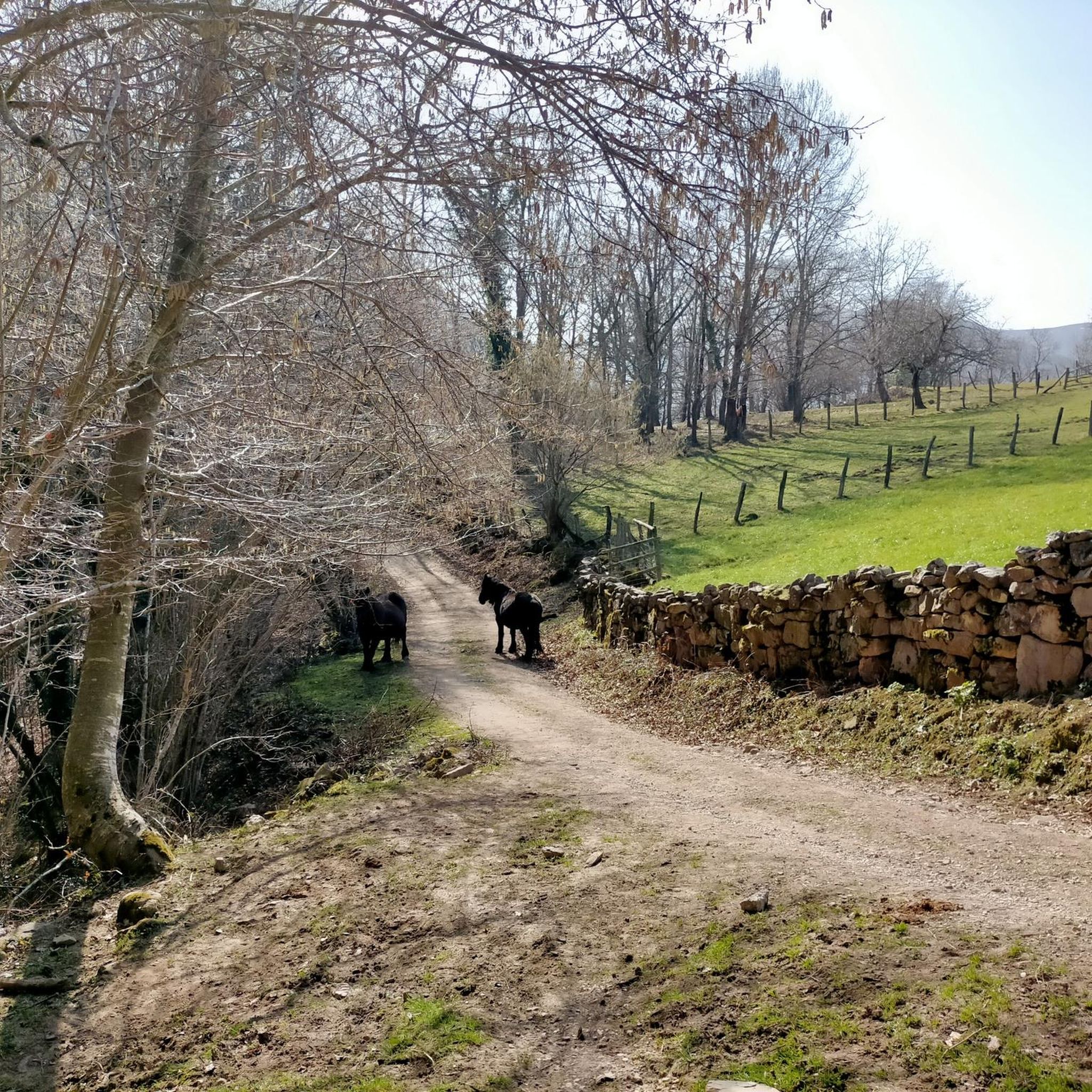
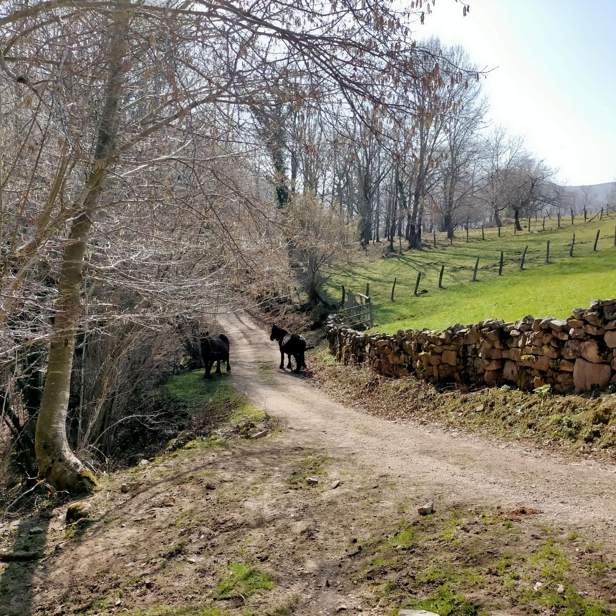
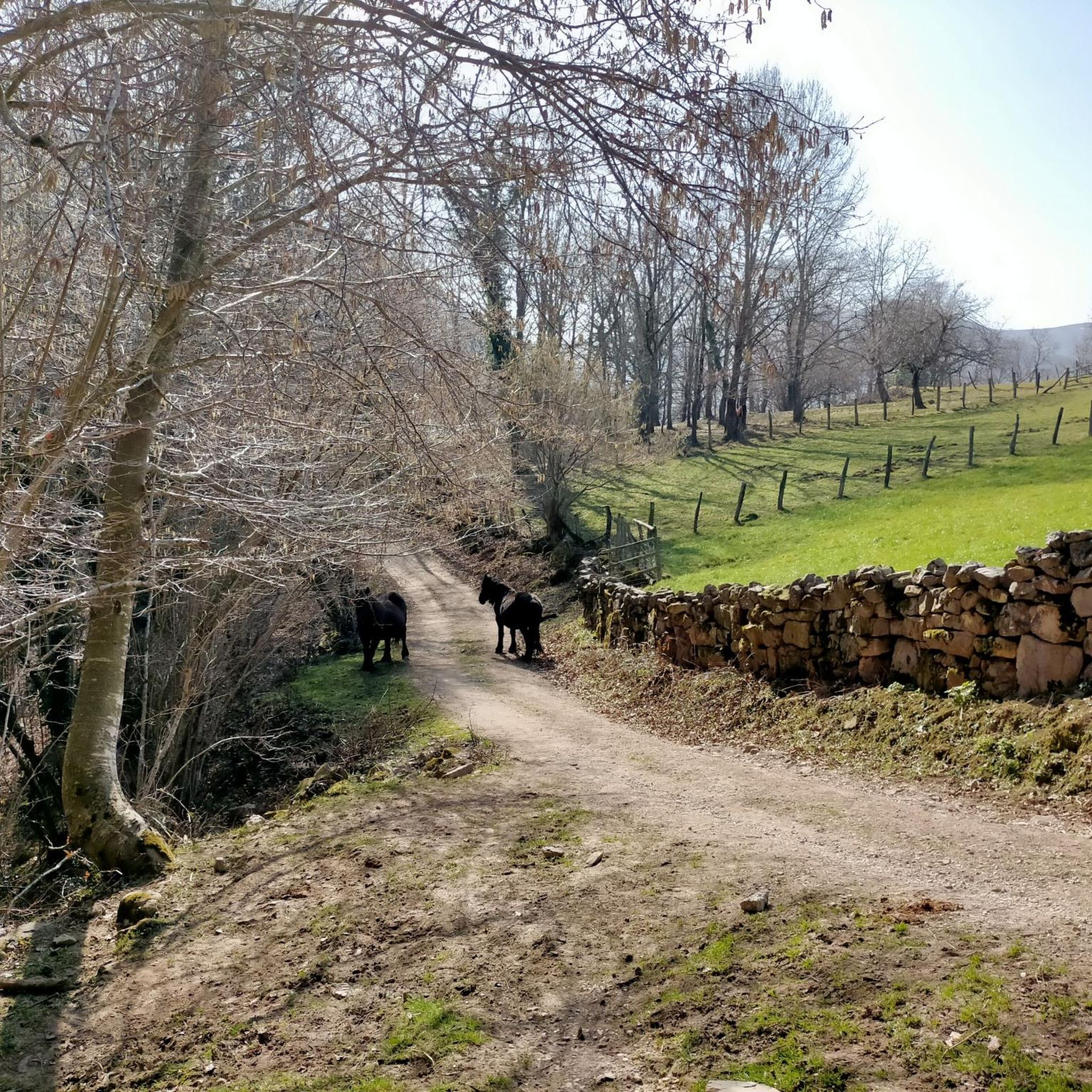
Great paths for biking and the views are spectacular! Almost free of traffic and in perfect condition. Watch out for cows and cow pats on the road!
1
0
Frequently Asked Questions
How many road cycling routes are available around Cabuérniga?
There are over 30 road cycling routes in the Cabuérniga region, catering to various skill levels. These routes traverse valleys, dense forests, and mountain passes, offering diverse terrain for exploration.
Are there easy road cycling routes in Cabuérniga suitable for beginners?
Yes, Cabuérniga offers several easy routes. For instance, the Stone Fountain loop from Ruente is an easy 32.9 km ride with minimal elevation gain, perfect for those new to road cycling in the area.
What are some challenging road cycling routes in Cabuérniga for experienced riders?
Experienced riders seeking a challenge will find many options. The Piedrasluengas and Collado de Hoz Loop is a difficult 105 km route with significant elevation gain, taking nearly 6 hours to complete. Another demanding option is the Port of Palombera and Alto de San Cipriano from Ruente, a 111.3 km circular path through the Saja-Besaya Natural Park.
Are there any family-friendly road cycling options in Cabuérniga?
While many routes in Cabuérniga feature elevation changes, some moderate and easy routes can be suitable for families with older children or those comfortable with longer distances. Look for routes with lower elevation gains and shorter distances, such as the Stone Fountain loop from Ruente, which is classified as easy.
What kind of scenic viewpoints can I expect along road cycling routes in Cabuérniga?
The Cabuérniga region is rich in natural beauty. Along your rides, you can encounter stunning viewpoints like the El Moral Plateau and the Viewpoint over the Monte Cabezón Sequoias Natural Monument. Many routes also pass through mountain passes such as Collada de Carmona, offering panoramic vistas.
Are there circular road cycling routes available in Cabuérniga?
Yes, many road cycling routes in Cabuérniga are circular, allowing you to start and end at the same point. A popular example is the Stone Fountain – Santibáñez Church loop from Parque Natural Saja-Besaya, a 53.5 km trail through the natural park.
What do other road cyclists enjoy most about road cycling in Cabuérniga?
The area is highly rated by the komoot community, with an average score of 4.7 stars from over 14 reviews. Road cyclists often praise the varied terrain, from challenging mountain passes to scenic valley rides, and the natural beauty of the Saja-Besaya Natural Park.
What is the best season for road biking in Cabuérniga?
While specific weather conditions can vary, spring and autumn generally offer pleasant temperatures and beautiful scenery for road cycling in Cabuérniga. Summers can be warm, especially in the valleys, while winters may bring colder temperatures and potential snow at higher elevations.
Are there any natural monuments or landmarks to explore near the routes?
Absolutely. Beyond the cycling itself, you can explore natural monuments such as the Fallen Oak of Brujilices or enjoy the Pool area in the Argonza River. The region also features several significant mountain passes like Collado de Ozalba and Collada de Brenes.
Where can I find parking for road bike trails near Cabuérniga?
Many routes in Cabuérniga start from towns or villages like Ruente, which typically offer public parking options. For routes traversing natural parks, designated parking areas are often available near trailheads or visitor centers. It's advisable to check the specific route details on komoot for recommended starting points and parking information.
What should I bring for road biking in Cabuérniga?
Given the varied terrain and potential elevation changes, it's recommended to bring appropriate cycling gear, including a helmet, water bottles, snacks, and layers of clothing to adapt to changing weather. A repair kit and a fully charged phone with GPS are also essential, especially for longer or more remote routes.
Most popular attractions around Cabuérniga

Get inspired with the komoot mobile app


Explore more
Browse the best Road cycling routes in other regions.
