The best walks and hikes around Cabezón De La Sal
4.4
(623)
3,785
hikers
18
hikes
Hiking around Cabezón De La Sal provides access to diverse natural landscapes, positioned between the Cantabrian coast and its interior mountains. The region is characterized by extensive redwood forests, vast deciduous woodlands within the Saja-Besaya Natural Park, and the Saja River carving through the terrain. These features create varied hiking opportunities, from riverside paths to elevated areas offering panoramic views.
Best hiking trails around Cabezón De La Sal
- The most popular hiking route is Accessible Boardwalk – View of Picos de Europa loop from Monumento Natural de las Secuoyas del Monte Cabezón, a 1.2 miles (1.9 km) trail that takes about 30 minutes to complete. This easy path leads through Europe's most extensive coastal redwood forest, offering views towards the Picos de Europa.
- Another top favourite among local hikers is Udías Mines – Udías Mine Tunnel loop from Virgen de la Peña, a moderate 6.7 miles (10.9 km) path. This route explores historical mining areas amidst natural surroundings, providing insights into the region's industrial heritage.
- Local hikers also love the Canto Redondo Summit loop from Azud de Santa Lucía, a 4.7 miles (7.6 km) trail leading through varied terrain to a summit, often completed in about 2 hours 45 minutes.
- Hiking around Cabezón De La Sal is defined by towering redwood forests, extensive oak and beech groves, and picturesque river valleys. The network offers options for different ability levels, from accessible boardwalks to more challenging summit ascents.
- The routes in Cabezón De La Sal are highly rated by the komoot community with an average score of 4.4 stars from over 400 reviews. More than 2,600 hikers have used komoot to explore Cabezón De La Sal's varied terrain.
Last updated: September 1, 2026
4.3
(4)
17
hikers
10.9km
03:12
300m
300m
Moderate hike. Good fitness required. Easily-accessible paths. Suitable for all skill levels.
16
hikers
24.0km
07:30
850m
850m
Hard hike. Very good fitness required. Easily-accessible paths. Suitable for all skill levels.

Sign up for free
5.0
(1)
7
hikers
7.66km
02:47
470m
460m
Moderate hike. Good fitness required. Easily-accessible paths. Suitable for all skill levels.
8
hikers
13.6km
04:26
550m
550m
Moderate hike. Good fitness required. Easily-accessible paths. Suitable for all skill levels.
4.0
(2)
14
hikers
4.88km
01:57
370m
370m
Moderate hike. Good fitness required. Easily-accessible paths. Suitable for all skill levels.
Get access to more routes and recommendations from other explorers.
Sign up for free
Already have an account?
Our route recommendations are based on thousands of hikes, rides, and runs completed by other people on komoot.
Start today with a free account
Your next adventure awaits.
Login or Signup

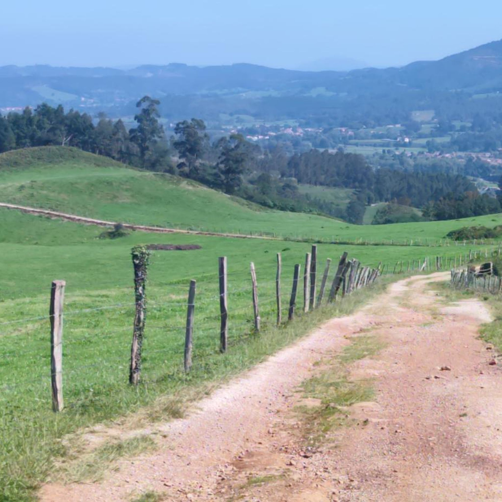
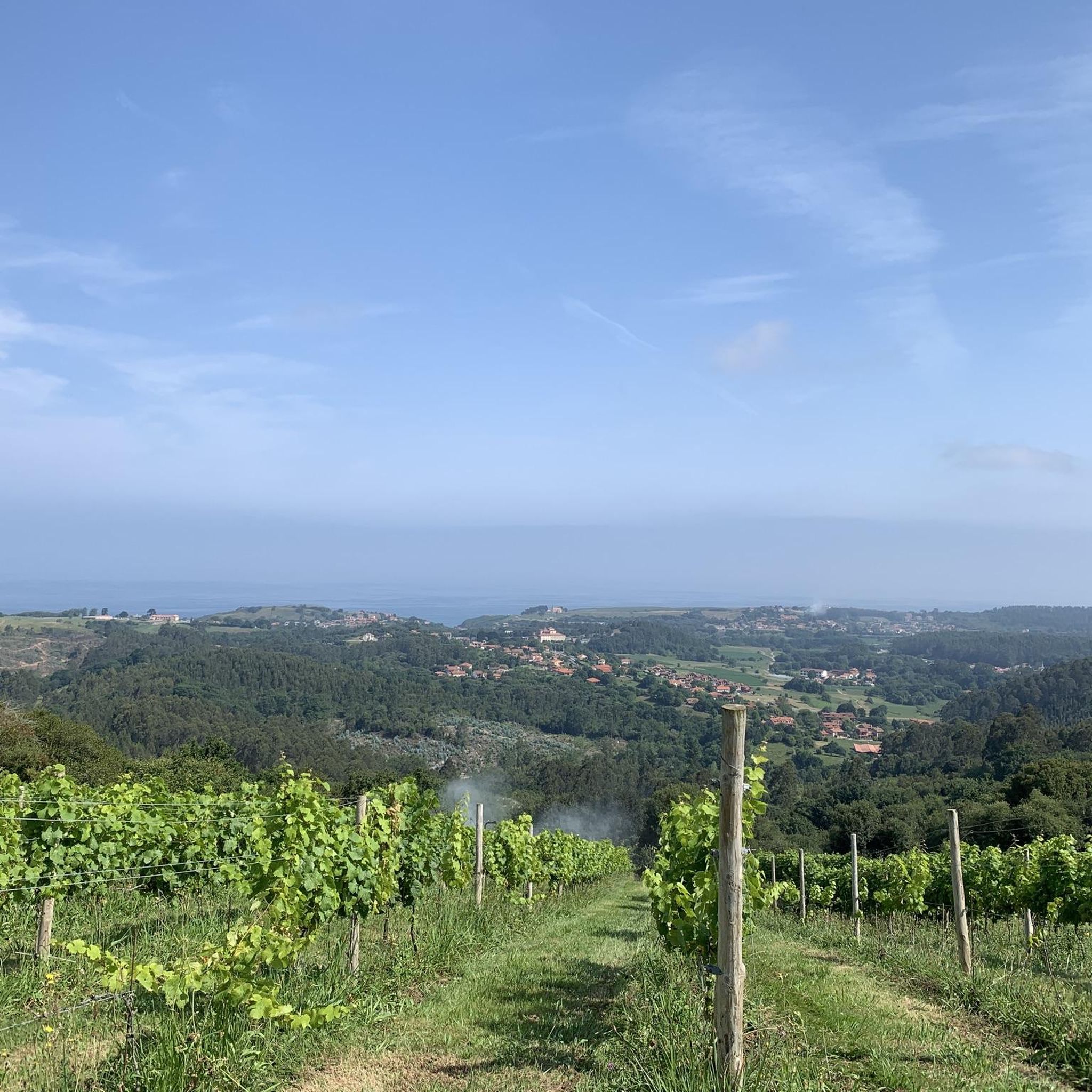
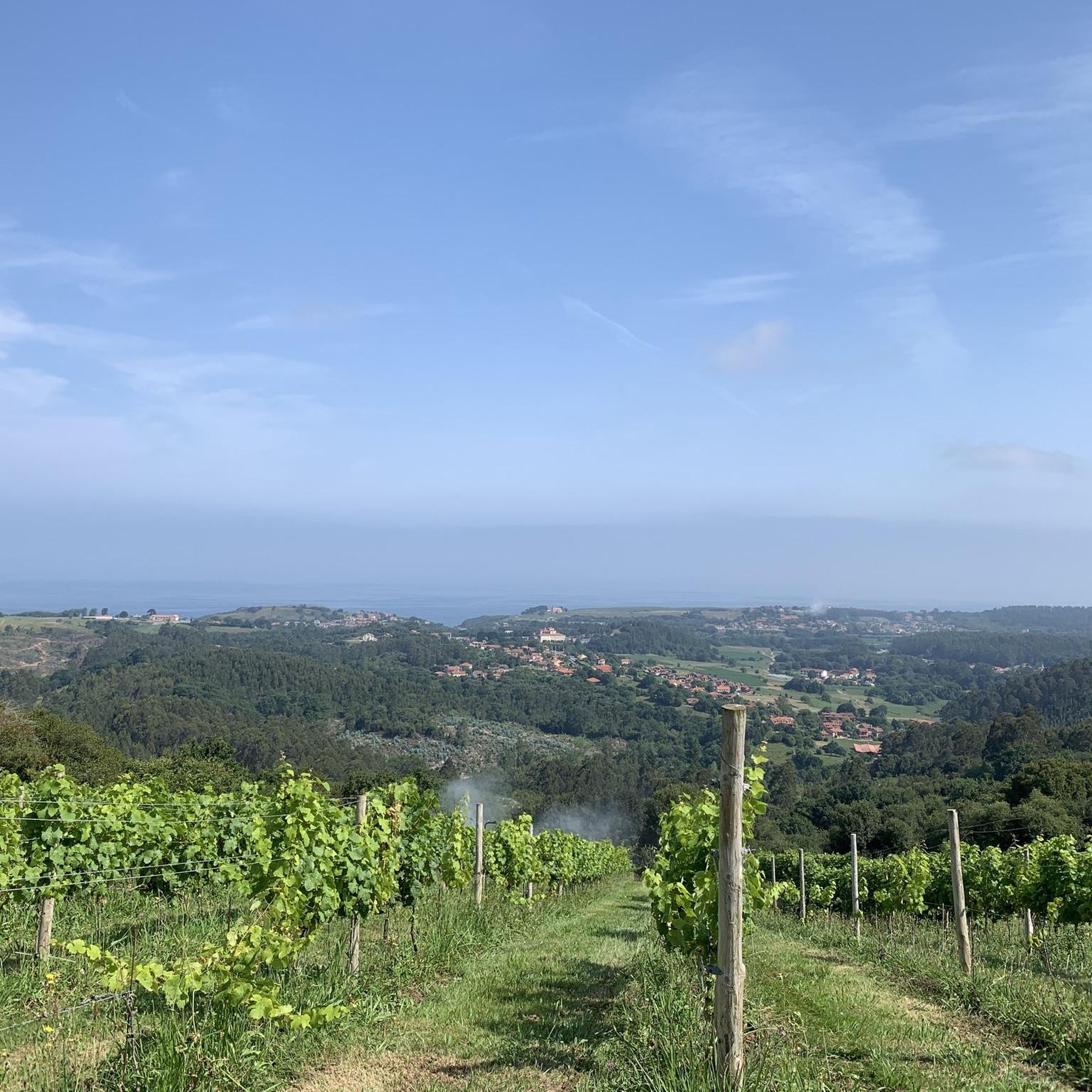

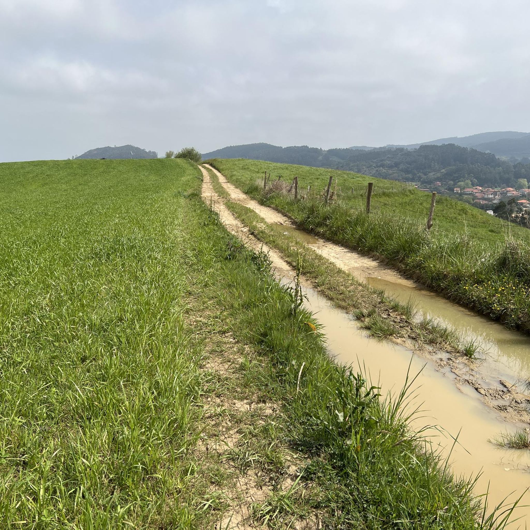
Other adventures around Cabezón De La Sal

Tips from the Community

Whenever I pass by here, even by car, I take a look at this beautiful bridge.
1
0
Beautiful site, and right in the town.
1
0
It's not like La Fuentona, but it's also beautiful.
1
0

super exciting on the old conveyor route with two old tunnels... and a slight incline...😁
0
1

This site, today practically an open-air museum, has a very long history that dates back to Roman times, from which there are the first signs of mining in this area. Remains dating from the years 140-160 AD have been found, although the most contemporary constructions can currently be seen.
1
0
This tunnel is part of the itinerary of the Pelurgo Greenway and was built for the functional railway to the old mines of Udías.
2
0
The Ojo de la Fuentona is the source of the homonymous river in the town of Ruente, a very quiet and picturesque place surrounded by a very peculiar legend. Given its intermittency, the river sometimes dries up completely and in the past it was said that an anjana (good witch) lived in the Eye who used to have some whim and could make the water stop emanating there.
1
0
Very close to the bridge itself is the Fuentona, the source of the homonymous river that hides a curious legend related to the intermittent flow of the river. The bridge is a classic postcard from the town of Ruente.
1
0
Frequently Asked Questions
How many hiking trails are available around Cabezón De La Sal?
There are over 15 hiking trails around Cabezón De La Sal, offering a diverse range of experiences. These routes are highly rated by the komoot community, with an average score of 4.4 stars from over 400 reviews.
Are there any easy or accessible hiking routes in Cabezón De La Sal?
Yes, Cabezón De La Sal offers several easy routes. A notable one is the Accessible Boardwalk – View of Picos de Europa loop from Monumento Natural de las Secuoyas del Monte Cabezón. This 1.2-mile (1.9 km) path is suitable for all skill levels and takes you through Europe's most extensive coastal redwood forest.
What kind of natural landscapes can I expect to see while hiking in the region?
The region is characterized by diverse natural landscapes. You'll find extensive redwood forests, vast deciduous woodlands within the Saja-Besaya Natural Park, and picturesque river valleys carved by the Saja River. The area offers a mix of coastal views, dense forests, and elevated areas with panoramic vistas.
Are there any challenging hikes for experienced trekkers?
Yes, for those seeking a challenge, routes like the Canto Redondo Summit – Ucieda Mountain House loop from Azud de Santa Lucía offer more demanding terrain. This difficult 14.7-mile (23.6 km) trail involves significant elevation gain and leads through varied landscapes to a summit.
Can I explore historical sites or unique natural features on the trails?
Absolutely. The region's history is visible on routes such as the Udías Mines – Udías Mine Tunnel loop from Virgen de la Peña, which explores historical mining areas. You can also visit the unique Fallen Oak of Brujilices or the Oyambre Natural Park for diverse natural features.
What are some popular points of interest or attractions near the hiking routes?
Beyond the trails, you can explore charming historical towns like Santillana del Mar Historic Town Centre and Historic center of Comillas. Natural attractions include the dramatic El Bolao Cliff and the serene La Rabia Estuary.
Are there any circular hiking routes available?
Many of the trails in Cabezón De La Sal are designed as loops, allowing you to start and end at the same point. Examples include the Canto Redondo Summit loop from Azud de Santa Lucía and the Canto Redondo Summit – Stone Fountain loop from Santibáñez.
What is the best time of year to go hiking in Cabezón De La Sal?
Hiking in Cabezón De La Sal is enjoyable year-round. Each season offers a different visual experience, from the vibrant greens of spring and summer to the warm reddish, yellowish, and orange hues of autumn. The region's diverse forests provide beauty in any season.
Are there any riverside walks or trails along water bodies?
Yes, the Saja River carves through the landscape, forming the 'hoz de Santa Lucía' (Santa Lucía gorge) and providing picturesque riverside paths. The Ruta Senda del Minchón (Fluvial Path of El Minchón) is an easy, flat riverside walk perfect for families.
What do other hikers enjoy most about the trails in Cabezón De La Sal?
The trails in Cabezón De La Sal are highly rated by the komoot community, with an average score of 4.4 stars. Hikers often praise the region's diverse natural beauty, from the towering redwood forests to the extensive oak and beech groves, and the well-maintained paths that cater to various fitness levels.
Are there any trails that offer panoramic views?
Yes, several trails lead to elevated areas offering rewarding panoramic views. The Canto Redondo Summit loop from Azud de Santa Lucía is known for its impressive vistas. Additionally, Monte Corona offers extensive forest masses with views of the Cantabrian Sea.
Most popular routes around Cabezón De La Sal
Most popular attractions around Cabezón De La Sal

Get inspired with the komoot mobile app


Explore more
Browse the best Hikes in other regions.
