The best running trails around Condemios De Arriba
118
runners
13
runs
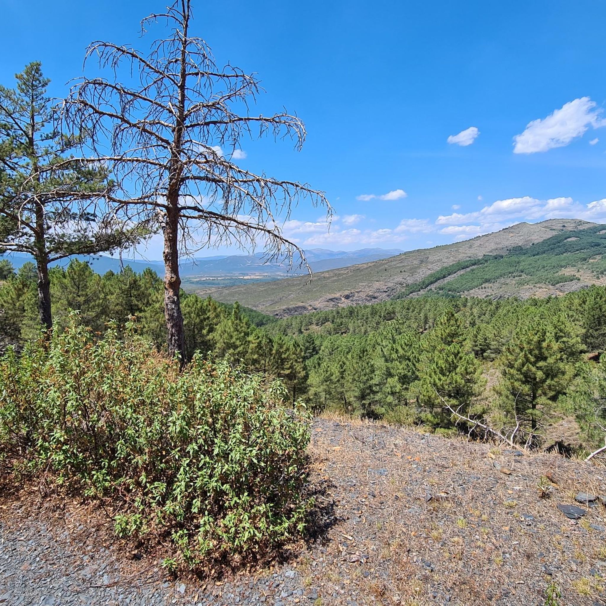
Jogging around Condemios De Arriba offers routes through a landscape characterized by mountainous terrain, including areas like the Sierra de Alto Rey and the vicinity of Pico Ocejón. The region features varied elevations and natural environments, providing diverse running experiences. Paths often traverse through areas known for their "Black Architecture" villages, integrating cultural elements into the natural setting. The trails cater to runners seeking challenging ascents and descents within a rugged environment.
Best jogging routes around Condemios De Arriba
- The…
Last updated: July 2, 2026
12
runners
11.3km
02:14
760m
760m
Hard run. Very good fitness required. Sure-footedness, sturdy shoes and alpine experience required.
1
runners
9.59km
01:11
150m
150m
Moderate run. Good fitness required. Mostly paved surfaces. Suitable for all skill levels.

Sign up for free
36
runners
11.8km
02:06
700m
700m
Hard run. Very good fitness required. Sure-footedness, sturdy shoes and alpine experience required.
25
runners
25.3km
03:52
1,170m
1,170m
Hard run. Very good fitness required. Sure-footedness, sturdy shoes and alpine experience required.
21
runners
21.6km
04:02
1,300m
1,300m
Hard run. Very good fitness required. Sure-footedness, sturdy shoes and alpine experience required.
Get access to more routes and recommendations from other explorers.
Sign up for free
Already have an account?
Our route recommendations are based on thousands of hikes, rides, and runs completed by other people on komoot.
Start today with a free account
Your next adventure awaits.
Login or Signup
Tips from the Community

A beautiful village in northern Guadalajara, near Alto Rey, with a Romanesque church, fountain, old oven, etc. It's a very welcoming place, with a terrace in the Plaza.
0
0

The most popular route to ascend Pico Ocejón begins in Valverde de los Arroyos and is known for its scenic beauty and moderate difficulty. The hike is approximately 14.74 km and typically takes around 6 hours with stops. Along the way, hikers can enjoy spectacular views and the rich biodiversity of the area.
6
0
The most popular route to ascend Pico Ocejón begins in Valverde de los Arroyos and is known for its scenic beauty and moderate difficulty. The hike is approximately 14.74 km and typically takes around 6 hours with stops. Along the way, hikers can enjoy spectacular views and the rich biodiversity of the area.
6
0

The climb is hard, but it is worth it. Although we were not lucky enough to see all the scenery that should be seen from that height. The descent is almost harder than the ascent.
1
0
A picturesque village among the black villages of Guadalajara. The food is great and it is a good starting point for hiking and mountain biking excursions.
1
0
The ridge meadow in Majaelrayo is a very popular hiking route in the Sierra Norte de Guadalajara, Castilla-La Mancha. This route is known for its impressive views and its connection to Pico Ocejón, one of the highest peaks in the area at 2,049 meters above sea level.
4
0
At 2049 metres above sea level, it is one of the highest and most popular peaks for hiking in the region. There are several routes to climb Pico Ocejón, the most common being those starting from Majaelrayo and Valverde de los Arroyos. Both routes offer stunning landscapes and the opportunity to enjoy nature at its best.
6
0

1600mts Peña Bernarda. With 2k left, Pozo Ocejon. Not too technical climb but with good steep slopes
2
0
Frequently Asked Questions
Are there any easy running routes around Condemios De Arriba for beginners?
The running routes around Condemios De Arriba are generally characterized by mountainous terrain and varied elevations. Currently, there are no easy jogging routes available in the immediate vicinity. The trails primarily cater to runners seeking moderate to difficult challenges.
What kind of terrain can I expect on the running trails in Condemios De Arriba?
You can expect a rugged, mountainous landscape with varied elevations, including areas like the Sierra de Alto Rey and the vicinity of Pico Ocejón. Many paths also traverse through areas known for their 'Black Architecture' villages, offering a mix of natural and cultural scenery.
Are there any long-distance running trails for advanced runners?
Yes, for those seeking a significant challenge, the region offers several longer, difficult routes. One notable option is the Prádena de Atienza – Sierra de Alto Rey loop from Prádena de Atienza, which spans nearly 24 km with substantial elevation gain. Another demanding trail is the Pico Ocejón – Pico Ocejón loop from Valverde de los Arroyos, covering over 21 km.
Can I bring my dog on the jogging routes in Condemios De Arriba?
While many trails in natural areas are dog-friendly, it's always advisable to check local regulations or specific trail signage. Generally, dogs should be kept on a leash, especially in protected areas or near livestock, to ensure their safety and respect for wildlife and other trail users.
What are some scenic viewpoints or natural attractions along the running paths?
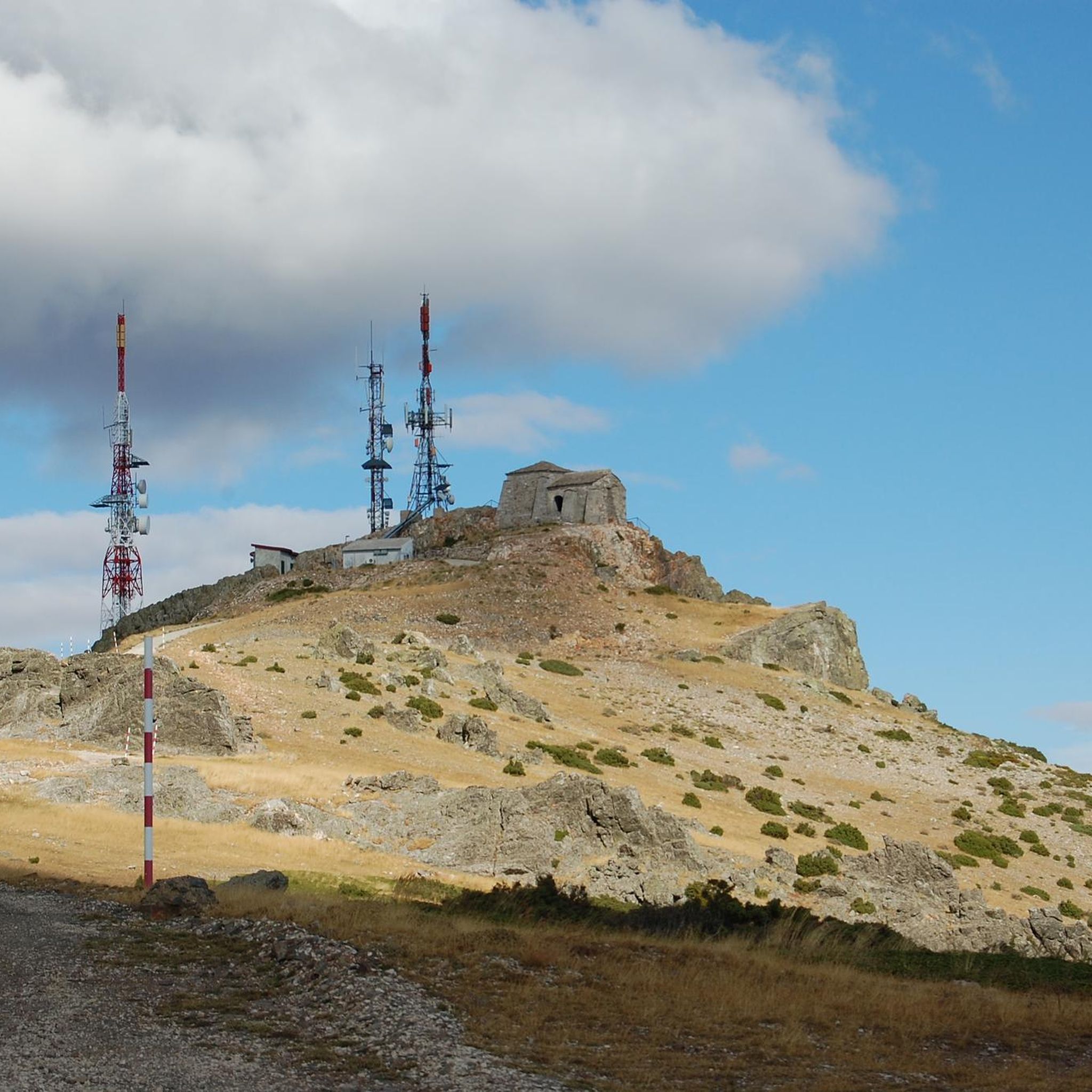
The region is rich in natural beauty. You can find stunning vistas such as the Views of the Pelagallinas River and the Poyatón Viewpoint. For a unique natural feature, consider routes near the Despeñalagua Waterfall. The Alto Rey Peak (1,858 m) also offers impressive panoramic views.
Are there any circular running routes available?
Yes, several routes are designed as loops. For example, the Prádena de Atienza – Sierra de Alto Rey loop from Prádena de Atienza is a challenging circular option. Another loop is the Pico Ocejón – Pico Ocejón loop from Valverde de los Arroyos, which takes you around the prominent peak.
What is the best time of year to go running in Condemios De Arriba?
Given the mountainous nature of Condemios De Arriba, spring and autumn generally offer the most pleasant running conditions with milder temperatures and beautiful scenery. Summers can be hot, especially at lower elevations, while winters may bring snow and ice, particularly on higher trails like those in the Sierra de Alto Rey and Pico Ocejón, requiring appropriate gear and caution.
Are there any running routes that pass through the 'Black Architecture' villages?
Absolutely. The region is famous for its 'Black Architecture' villages. The GR 60 Pueblos de la Arquitectura Negra - Senderos GR is an excellent route that specifically explores these distinctive villages, integrating cultural elements into your running experience.
What do other runners enjoy most about the trails in Condemios De Arriba?
Runners often praise the challenging ascents and descents within the rugged, natural environment. The integration of traditional 'Black Architecture' villages into the routes also provides a unique cultural dimension. The varied terrain and elevated sierras offer diverse and rewarding running experiences.
How many running routes are available in the Condemios De Arriba area?
There are 10 running routes available in the Condemios De Arriba area, offering a range of moderate to difficult options for exploring the mountainous landscapes and traditional villages.
Are there any routes suitable for a moderate running experience?
Yes, if you're looking for a balanced running experience, the GR 167: Prádena de Atienza to Cueva del Oso Trail is a moderate 9.6 km path that offers a good workout without the extreme difficulty of some other trails.
Most popular routes around Condemios De Arriba
Most popular attractions around Condemios De Arriba

Get inspired with the komoot mobile app


Explore more
Browse the best Running Trails & Routes in other regions.
