The best walks and hikes around Güevéjar
4.6
(1287)
7,797
hikers
317
hikes
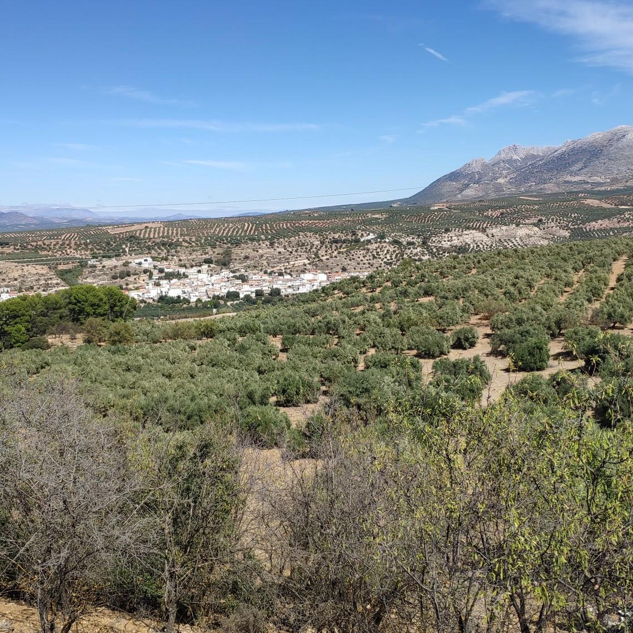
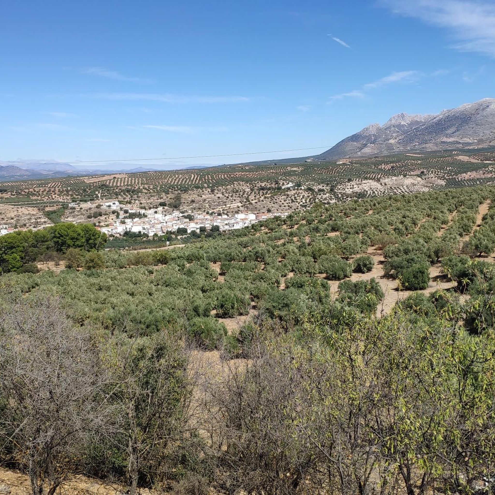
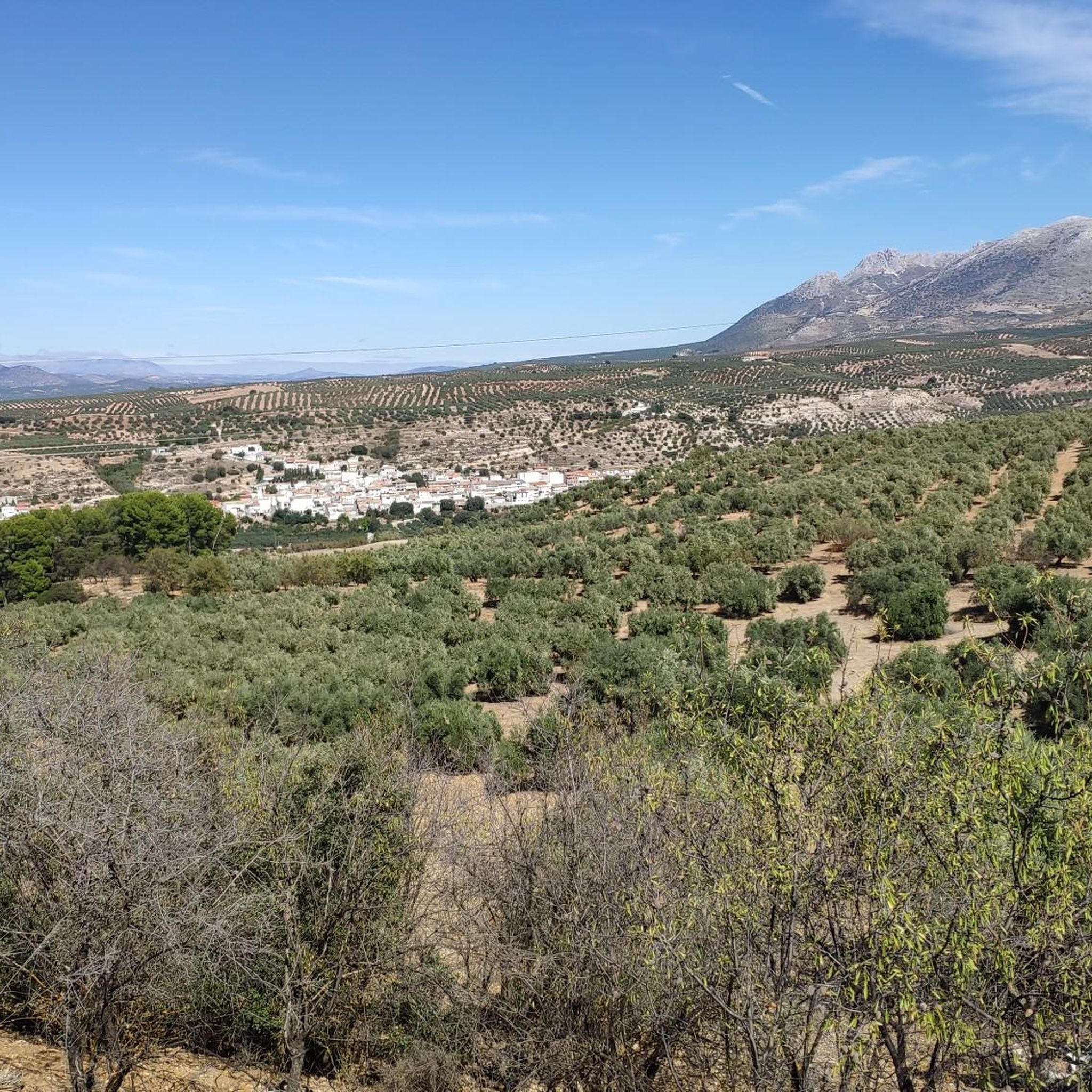
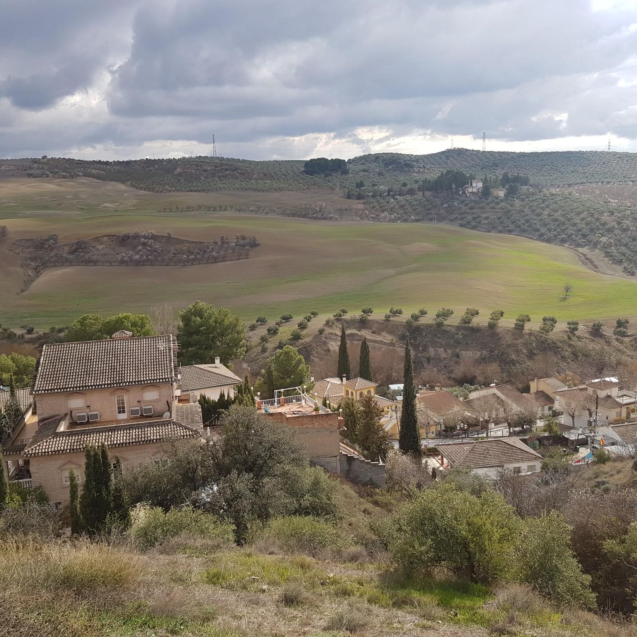
Hiking around Güevéjar, situated at 900 meters above sea level in Granada, Spain, offers diverse natural landscapes. The region is characterized by dramatic topography, including pine forests, limestone rock formations, and mountain peaks. Hikers can expect steep, rugged mountains and deep valleys, with many trails providing panoramic views of Granada and the Sierra Nevada.
Best hiking trails around Güevéjar
- The most popular hiking route is Caves and Crosses of the Sierra de la Alfaguara Trail, a 5.0 miles (8.1…
Last updated: July 4, 2026
5.0
(1)
7
hikers
14.8km
05:06
560m
560m
Hard hike. Very good fitness required. Sure-footedness, sturdy shoes and alpine experience required.
4.8
(12)
36
hikers
10.1km
03:48
600m
600m
Hard hike. Good fitness required. Sure-footedness, sturdy shoes and alpine experience required.

Sign up for free
5.0
(3)
12
hikers
Hard hike. Very good fitness required. Mostly accessible paths. Sure-footedness required.
7
hikers
12.1km
04:30
620m
620m
Hard hike. Good fitness required. Sure-footedness, sturdy shoes and alpine experience required.
5.0
(3)
4
hikers
20.0km
06:34
890m
890m
Hard hike. Very good fitness required. Easily-accessible paths. Suitable for all skill levels.
Get access to more routes and recommendations from other explorers.
Sign up for free
Already have an account?
Our route recommendations are based on thousands of hikes, rides, and runs completed by other people on komoot.
Start today with a free account
Your next adventure awaits.
Login or Signup
Tips from the Community

Unparalleled beauty to recharge your batteries and your senses
0
0

This mountainous landscape can be easily explored from Granada through shady pine forests, even on warmer days. Good gravel routes and always great views of the Pico Veleta. Highly recommended. Don't forget water.
2
0

Cogollos de la Vega is a pretty town with important archaeological remains and historical monuments. Its castle dating from the Middle Ages, the watchtower and the Arab baths and the parish church are well worth a visit. In addition, the views of the surroundings are spectacular from here.
0
0

Peñón de la Mata, its attractive landscape of pine forests and masses of limestone rock, its medium-height peaks make it a popular destination for hiking all year round.
4
0
It is the point where one of the largest defensive structures in the Huétor mountain range was located.
4
0

The Sierra de Huétor Natural Park is just a few kilometers Northeast of the city center, being a natural balcony over the valley of Granada. This mountain range covered in pine, cedar and fir forests, with amazing views of Sierra Nevada and the omnipresent Pico Veleta, contains dozens of kilometers and routes of just perfect gravel.
3
0

Frequently Asked Questions
How many hiking trails are available in Güevéjar?
There are over 280 hiking routes around Güevéjar, offering a wide range of options for different skill levels and interests. These include 111 easy routes, 131 moderate routes, and 45 challenging trails.
What kind of terrain can I expect on hikes around Güevéjar?
The terrain around Güevéjar is quite varied and dramatic. You'll encounter scenic pine forests, striking limestone rock formations, and areas of red earth cultivated with olive trees. Many trails feature steep, rugged sections and deep valleys, especially as you approach the Sierra Nevada foothills. The region is also known for its karstic caves and mountain peaks, offering diverse landscapes.
Are there easy hiking trails suitable for beginners in Güevéjar?
Yes, Güevéjar offers over 110 easy hiking routes perfect for beginners or those looking for a relaxed stroll. These trails typically feature gentler inclines and shorter distances, allowing you to enjoy the natural beauty without significant physical exertion.
What are some challenging hikes for experienced trekkers in Güevéjar?
For experienced trekkers seeking a challenge, Güevéjar has over 40 difficult routes. One notable option is the Lorca Memorial Site loop from Alfacar, which covers 7.6 km with significant elevation changes. Another is the Llano del Fraile Trenches – La Yedra Trenches loop from Cerro de las Higuerillas, a moderate 11.4 km route that explores historical defensive structures.
What is the best time of year to go hiking in Güevéjar?
The best time for hiking in Güevéjar is generally during the spring (April to June) and autumn (September to November). During these seasons, the weather is milder and more pleasant, avoiding the intense heat of summer and the colder, potentially snowy conditions of winter, especially at higher elevations. Spring brings blooming wildflowers, while autumn offers beautiful foliage.
Are there any family-friendly hiking options in Güevéjar?
While specific family-designated trails aren't listed, many of the over 110 easy routes in Güevéjar are suitable for families. These paths often have less challenging terrain and shorter distances, making them enjoyable for children and adults alike. Look for routes with minimal elevation gain and clear paths for a pleasant family outing.
Can I bring my dog on the hiking trails in Güevéjar?
Generally, dogs are welcome on many hiking trails in the Güevéjar region, especially on public footpaths. However, it's always advisable to keep your dog on a leash, especially in areas with livestock or wildlife, and to check for any specific local regulations or signage. Always carry water for your pet and clean up after them.
What interesting landmarks or viewpoints can I discover along the trails?
The region around Güevéjar offers several interesting landmarks and stunning viewpoints. You can find numerous mountain peaks like Peñón de la Mata, Cerro del Sol Summit, and Morrón de Enmedio, which provide panoramic views. Historical sites include the Llano del Fraile Trenches and the ruins of the Sanatorio Antituberculoso de la Alfaguara. For breathtaking vistas, don't miss the View from Cerro de la Cruz or the famous San Nicolás Viewpoint overlooking the Alhambra.
Are there any circular hiking routes in Güevéjar?
Yes, many of the trails in Güevéjar are circular, allowing you to start and end at the same point without needing to retrace your steps. A popular example is the Peñón de la Mata – Cogollos de la Vega loop from Cogollos de la Vega, which is 10.1 km long and takes you through scenic pine forests and limestone formations.
What do other hikers enjoy most about hiking in Güevéjar?
The area is highly rated by the komoot community, with an average score of 4.6 stars from over 1200 reviews. Hikers often praise the diverse natural landscapes, including the pine forests and unique limestone formations, as well as the extensive panoramic views of Granada and the Sierra Nevada that many trails offer. The variety of routes catering to different abilities is also frequently highlighted.
Are there any historical sites or cultural points of interest accessible via hiking trails?
Yes, the region is rich in history. You can explore the site of the Llano del Fraile Trenches, one of the largest defensive structures in the Huétor mountain range. The ruins of Güevéjar's old town, relocated after historical earthquakes, are visible near Peñón de Bartolo. Additionally, the area is part of the Caliphate Trail, a historical walking route connecting Córdoba and Granada, offering a glimpse into the region's past.
Most popular attractions around Güevéjar

Get inspired with the komoot mobile app


Explore more
Browse the best Hikes in other regions.
