The best walks and hikes around Cantabrana
4.7
(57)
406
hikers
56
hikes
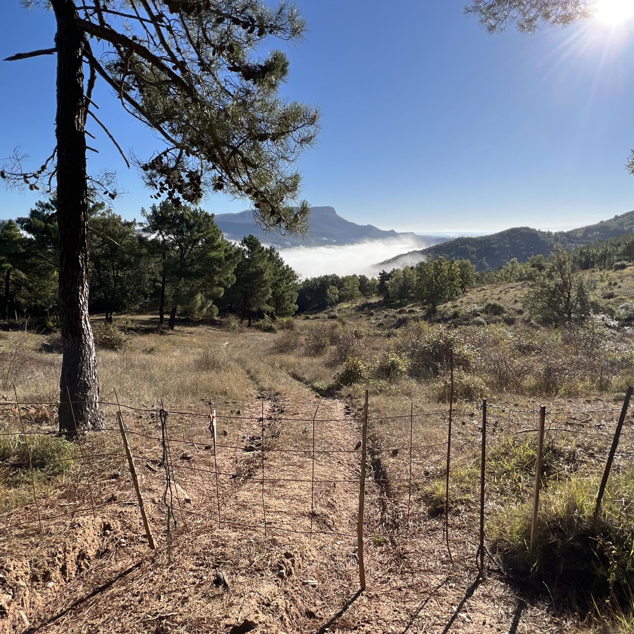
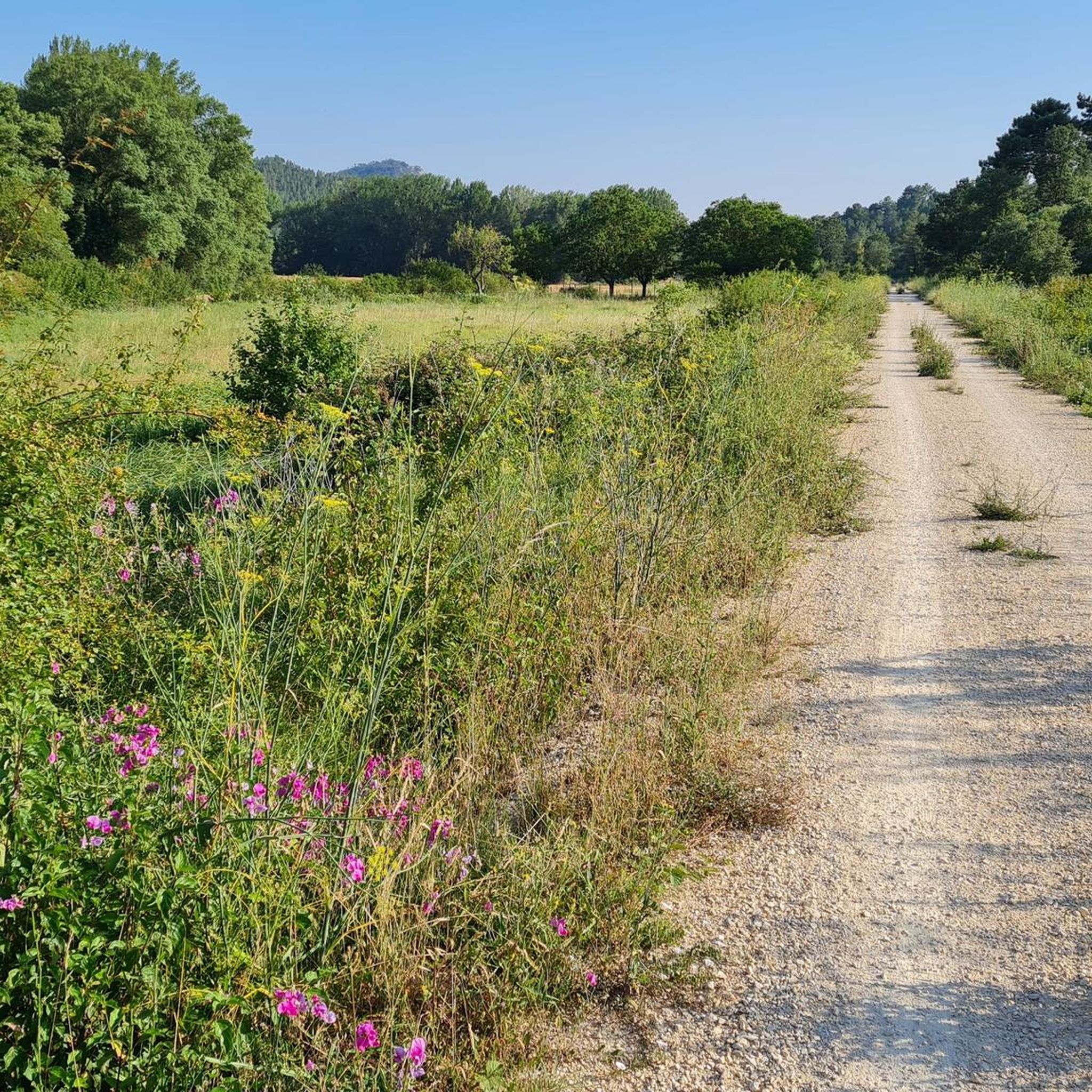
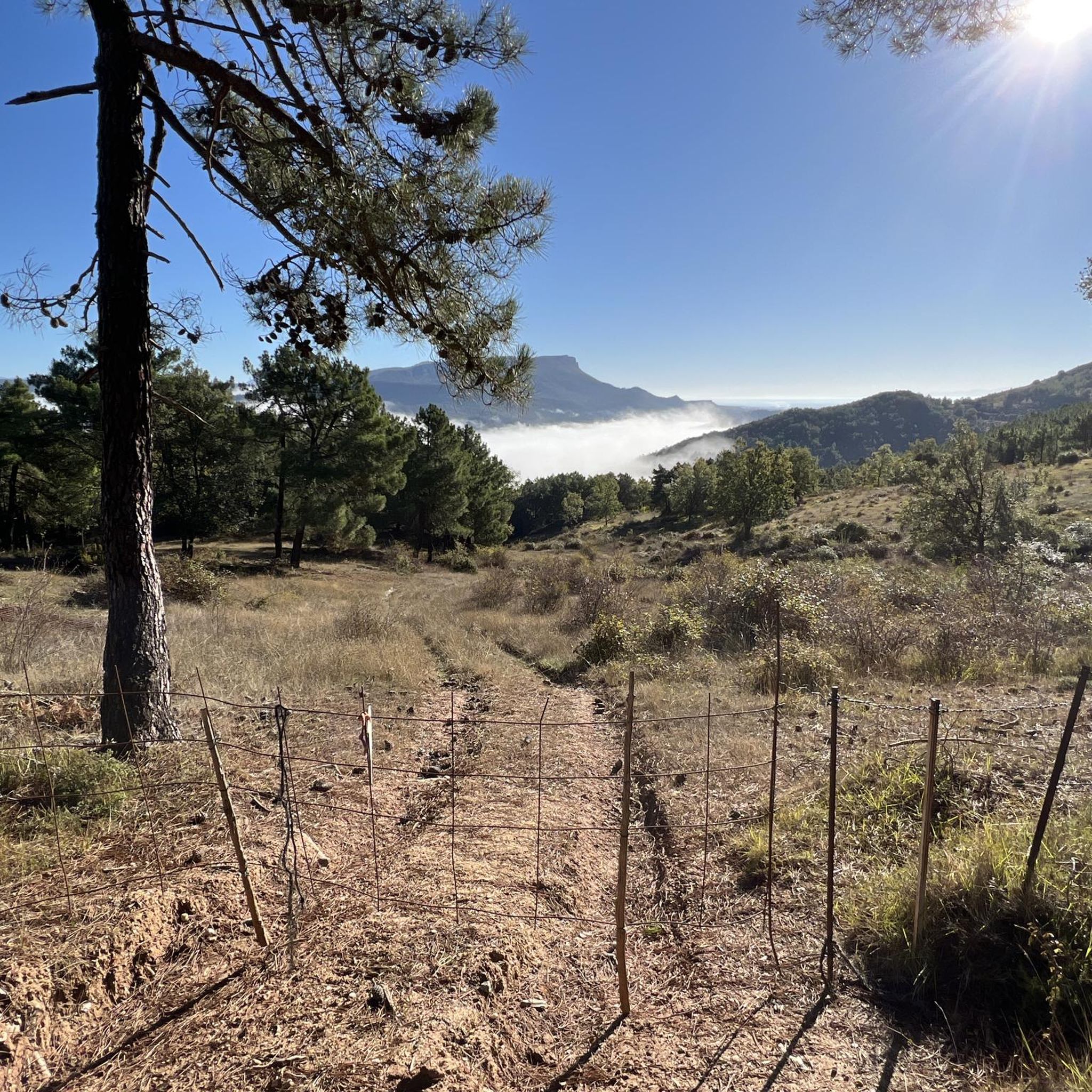
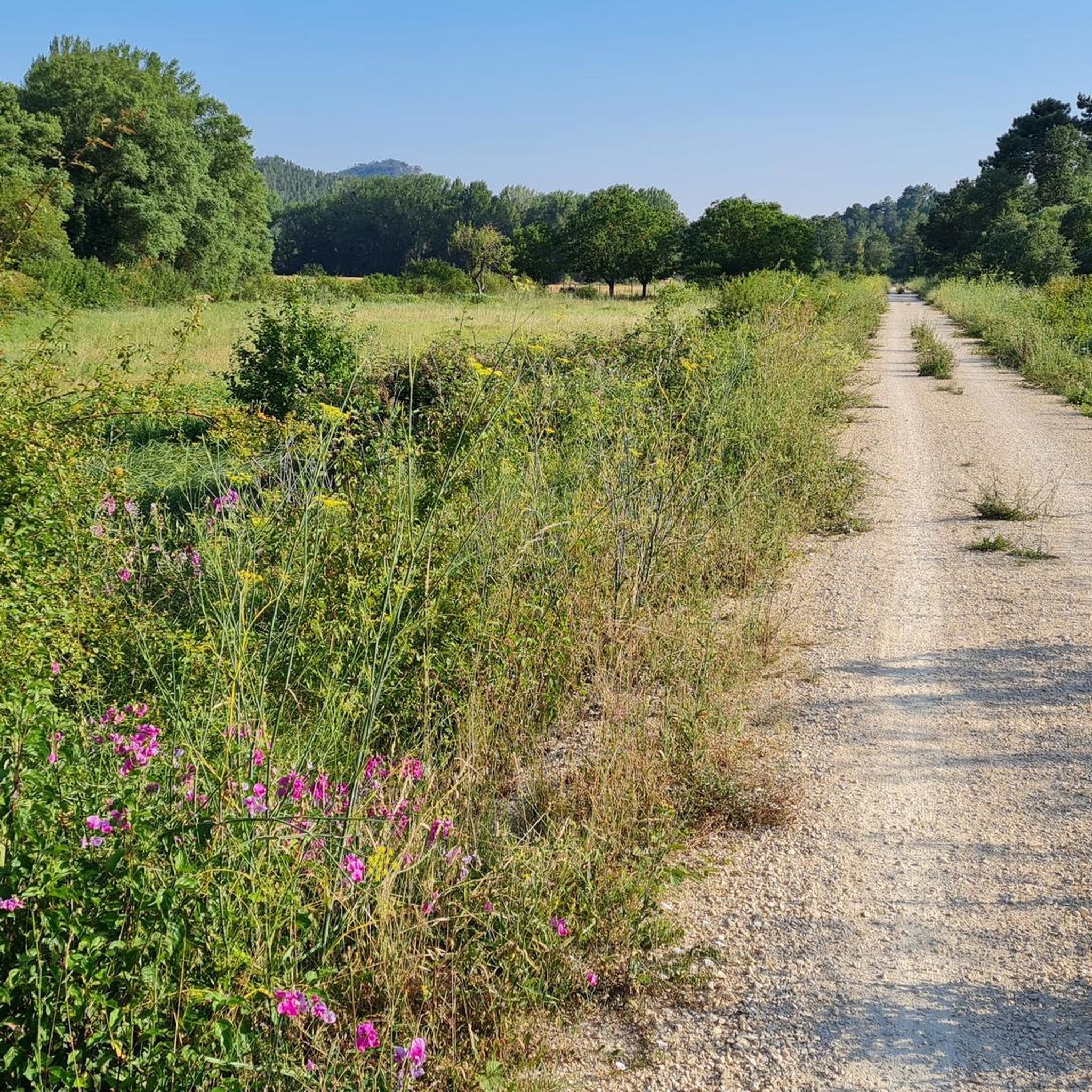
Hiking around Cantabrana offers diverse terrain, characterized by significant gorges and varied landscapes. The region features paths that traverse through natural areas, including forested sections and open vistas. Elevation changes are present on many routes, providing a range of experiences from gentle walks to more challenging ascents.
Best hiking trails around Cantabrana
- The most popular hiking route is Goblins' Trail, a 4.4 miles (7.0 km) trail that takes 2 hours 23 minutes to complete. This route features an elevation…
Last updated: July 2, 2026
5.0
(6)
29
hikers
7.01km
02:23
350m
340m
Hike the moderate 4.4-mile Sierra Portillo de Junca circular trail from Herrera de Valdivielso, featuring an enchanted forest and panoramic
12
hikers
19.1km
06:04
760m
760m
Hike the difficult 11.9-mile Por la Mesa de Oña Trail, gaining 2499 feet in Montes Obarenes-San Zadornil Natural Park for panoramic views.

Sign up for free
4.5
(4)
43
hikers
Easy hike. Great for any fitness level. Easily-accessible paths. Suitable for all skill levels.
4.6
(8)
27
hikers
17.6km
04:42
190m
190m
Moderate hike. Good fitness required. Easily-accessible paths. Suitable for all skill levels.
5.0
(2)
35
hikers
Easy hike. Great for any fitness level. Easily-accessible paths. Suitable for all skill levels.
Get access to more routes and recommendations from other explorers.
Sign up for free
Already have an account?
Our route recommendations are based on thousands of hikes, rides, and runs completed by other people on komoot.
Start today with a free account
Your next adventure awaits.
Login or Signup

Tips from the Community

The old Oña station has been converted into a hostel. Recently renovated, it's a very cool place to spend the night and continue your journey.
0
0

There are a couple of fountains with cool water... there are several walking areas
0
0

Starting car park for PRC-BU-66, a highly recommended route.
2
0

The Parroquia El Salvador, originally part of the Monastery of San Salvador, became an independent parish after the confiscation. The temple preserves Romanesque elements on the walls of the nave and some windows. In its Romanesque portico, completed in 1072, there are paintings in its 15th-century vault. From the outside it stands out for its imposing staircases that create an effect of majesty.
1
0
A former Benedictine abbey, founded in the 11th century, it features impressive architecture and beautiful cloisters. It is a place of great historical and religious importance, where you can enjoy the peace and beauty of its monastic surroundings.
1
0
Nice stretch of greenway with privileged views of the Oña Gorge. The path runs parallel to the river and has no difficulty as it is completely flat terrain. On the way you have to pass a couple of tunnels.
1
0
Portillo del Mercado is a large open esplanade with magnificent views of the Sierra de Oña and the valley. The climb from the valley is somewhat demanding, with a climb of about 400 meters up a narrow path in the forest.
1
0
Frequently Asked Questions
What kind of hiking experiences can I expect in Cantabrana?
Cantabrana offers a diverse range of hiking experiences, characterized by significant gorges, varied terrain, and beautiful forested sections. You'll find paths that range from gentle strolls to more challenging ascents, catering to different fitness levels. The broader Cantabria region, where Cantabrana is located, is known for its majestic mountains, verdant valleys, and a stunning coastline, providing a rich backdrop for outdoor adventures.
How many hiking trails are available around Cantabrana?
There are over 50 hiking routes available around Cantabrana. These include a good mix of easy, moderate, and difficult trails, ensuring there's something for every hiker.
Are there any easy or family-friendly hikes in Cantabrana?
Yes, Cantabrana has several easy routes perfect for families or beginners. For instance, the MonasterioDeSanSalvador – Oña Gorge loop from Oña is an easy 3.4-mile trail that takes about 1 hour 27 minutes to complete, leading through the scenic Oña Gorge.
What are some of the more challenging hikes in the area?
For experienced hikers seeking a challenge, the Por la Mesa de Oña Trail is a difficult 11.9-mile path with a substantial elevation gain of 2,499 feet. This route offers a rewarding experience for those looking for a strenuous trek.
Are there any circular hiking routes around Cantabrana?
Yes, there are several circular routes. A popular option is the MonasterioDeSanSalvador – Oña Gorge loop from Oña, which is an easy 3.4-mile trail. Another longer circular option is the Oña Gorge loop from Oña, a moderate 10.9-mile route.
What can I see or explore along the hiking trails in Cantabrana?
The area around Cantabrana offers several interesting sights. You can explore the historic Oña Historic Center, visit the Poza de la Sal Salt Flats and Old Railway Station, or enjoy panoramic views from the Peña Escalera Viewpoint. The region is also home to natural features like the Caves of Penedo de los Portugueses Hermitage.
Is Cantabrana a good destination for winter hiking?
While the broader Cantabria region can experience snow in higher elevations, particularly in areas like the Picos de Europa, Cantabrana's specific conditions for winter hiking can vary. It's always recommended to check local weather forecasts and trail conditions before planning a winter hike, as some routes may become more challenging or inaccessible due to snow or ice.
Are there any viewpoints along the trails in Cantabrana?
Yes, hikers can find scenic viewpoints in the area. The Peña Escalera Viewpoint is a notable spot offering great vistas of the surrounding landscapes.
What do other hikers say about the trails in Cantabrana?
The hiking routes in Cantabrana are highly rated by the komoot community, with an average score of 4.8 stars from over 50 reviews. Hikers often praise the varied terrain, the beauty of the gorges, and the forested sections that define the area's trails.
Can I bring my dog on the hiking trails in Cantabrana?
Many trails in natural areas are dog-friendly, but specific regulations can vary. It's generally advisable to keep dogs on a leash, especially in protected areas or where wildlife is present. Always check local signage or park rules for the specific trail you plan to hike to ensure it's suitable for dogs.
What is the typical duration for hikes in Cantabrana?
Hiking durations in Cantabrana vary significantly depending on the trail's length and difficulty. Easy routes like the MonasterioDeSanSalvador – Oña Gorge loop from Oña can be completed in under 1.5 hours, while more challenging trails such as the Por la Mesa de Oña Trail can take over 6 hours.
Are there any cafes or amenities near the hiking routes?
While specific cafes directly on every trail are not guaranteed, the region's charming villages, such as Oña, often provide amenities like cafes, restaurants, and shops where you can refresh before or after your hike. Exploring these villages can be part of the hiking experience.
Most popular routes around Cantabrana
Most popular attractions around Cantabrana

Get inspired with the komoot mobile app


Explore more
Browse the best Hikes in other regions.
