The best walks and hikes around Torre Val De San Pedro
4.6
(207)
1,655
hikers
112
hikes
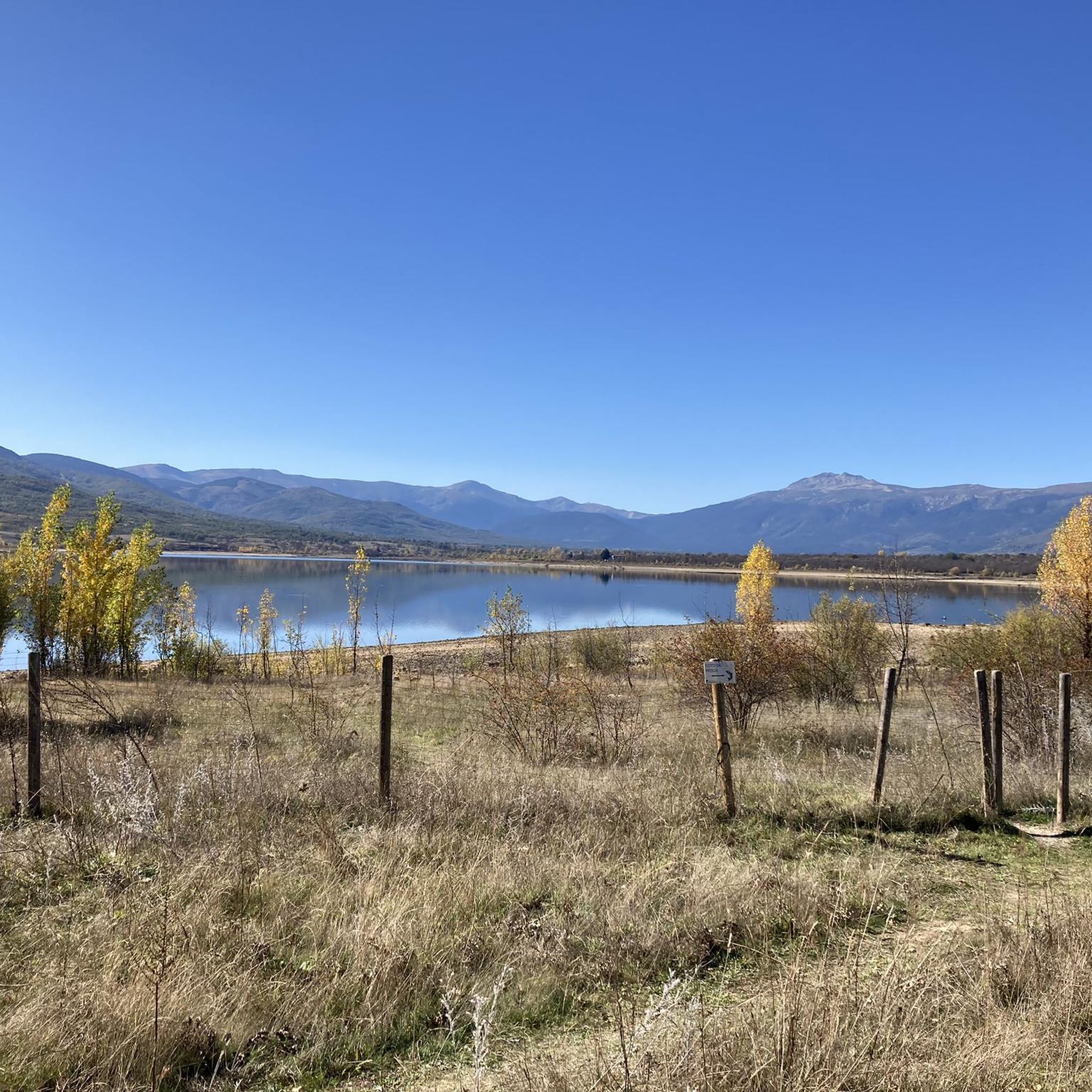
Hiking trails around Torre Val De San Pedro traverse a diverse landscape, ranging from high mountains to the lowlands of the Cega River. The municipality is integrated into several natural protection areas, including the Natura 2000 Network and the Sierra de Guadarrama National Park. This varied terrain features alpine scrub, extensive pine forests, Pyrenean oaks, and mixed oak and ash dehesas. Geological formations like the Romalo Pelao glacial complex and unique mesa-type structures add to the region's natural appeal.
Best…
Last updated: July 4, 2026
4.6
(9)
63
hikers
11.3km
03:36
410m
410m
Moderate hike. Good fitness required. Mostly accessible paths. Sure-footedness required.
4.0
(1)
12
hikers
Moderate hike. Good fitness required. Mostly accessible paths. Sure-footedness required.

Sign up for free
4.0
(1)
11
hikers
11.0km
04:42
580m
580m
Moderate hike. Good fitness required. Mostly accessible paths. Sure-footedness required.
Hard hike. Very good fitness required. Mostly accessible paths. Sure-footedness required.
4.6
(14)
119
hikers
11.5km
04:22
480m
480m
Moderate hike. Good fitness required. Mostly accessible paths. Sure-footedness required.
Get access to more routes and recommendations from other explorers.
Sign up for free
Already have an account?
Our route recommendations are based on thousands of hikes, rides, and runs completed by other people on komoot.
Start today with a free account
Your next adventure awaits.
Login or Signup
Tips from the Community


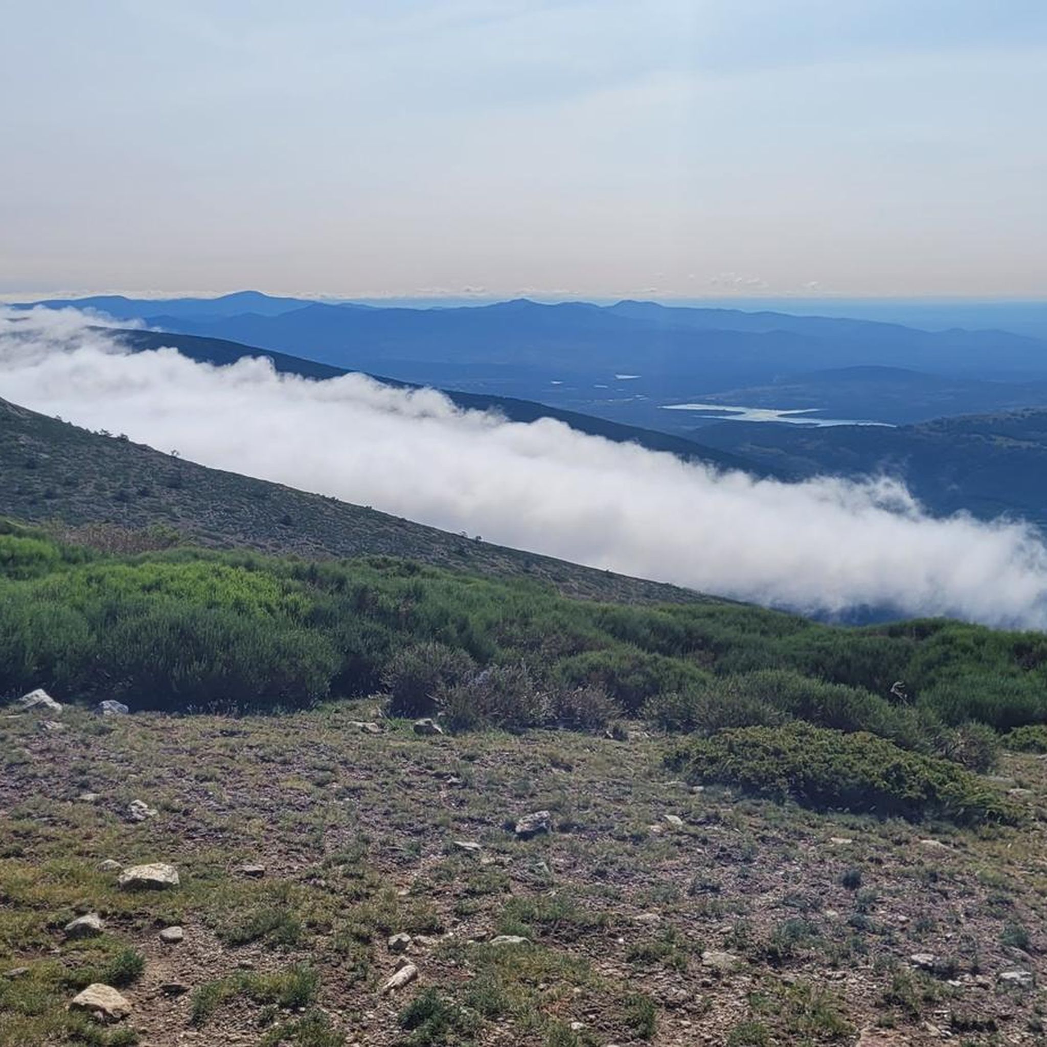
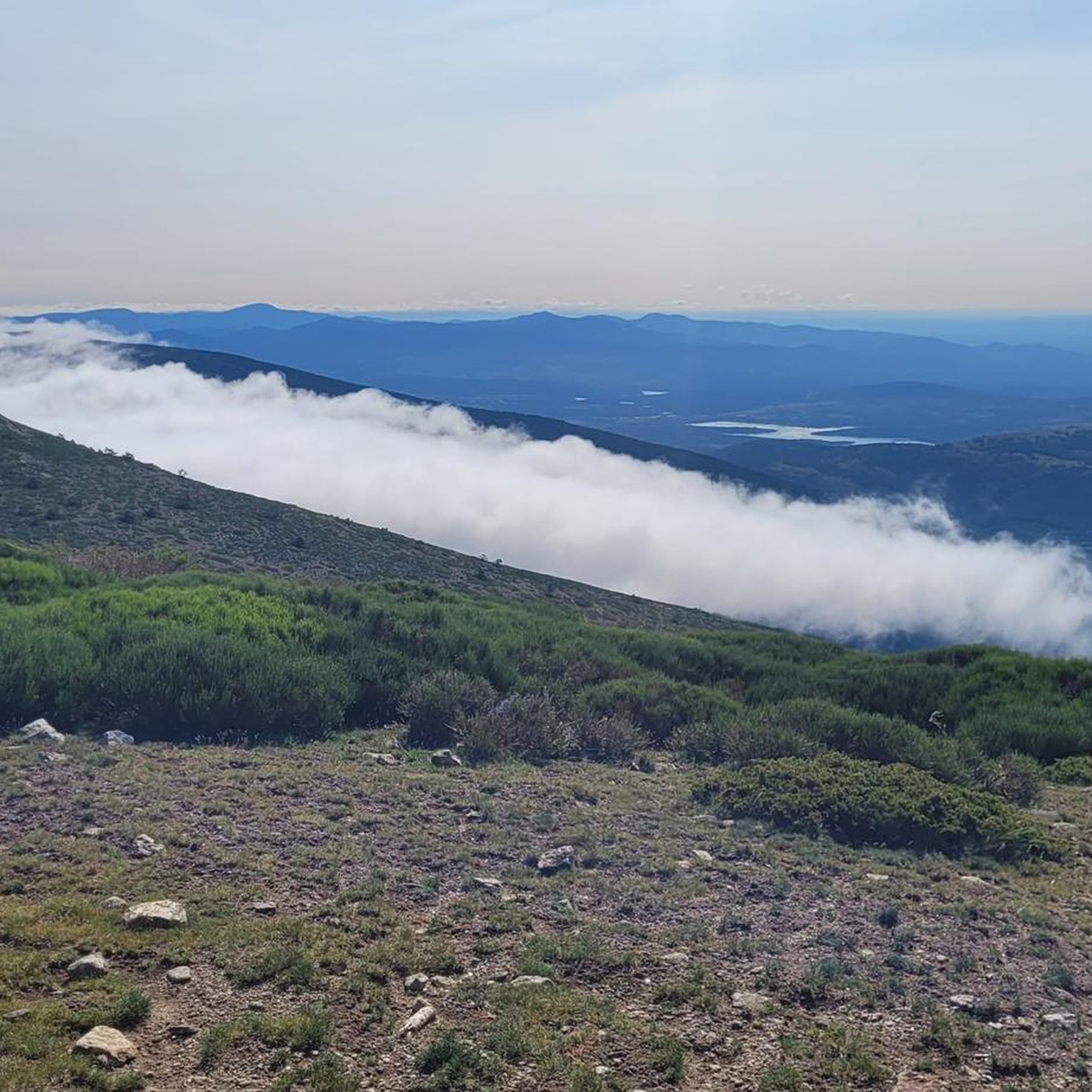
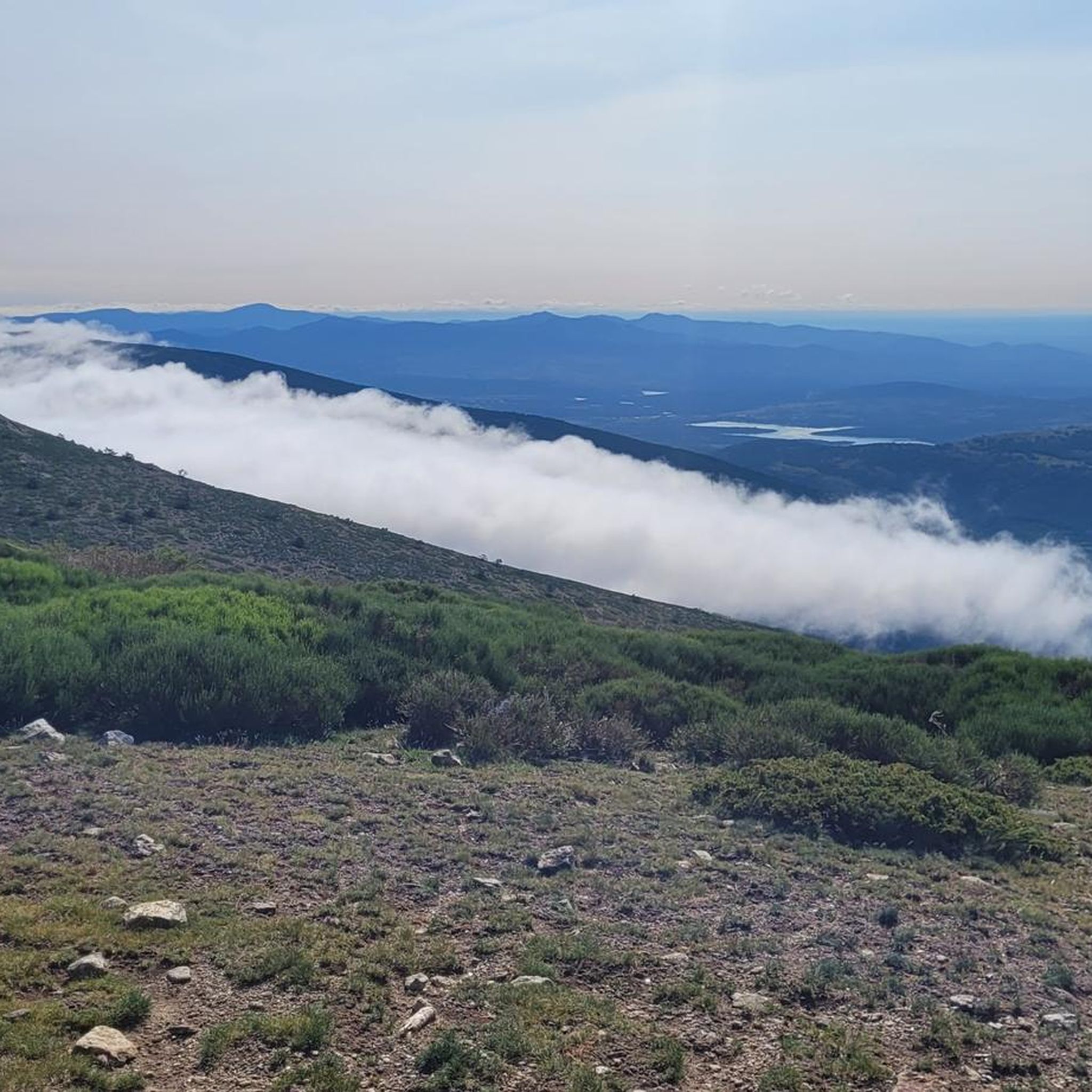
highest peak of the Carpetanos Mountains, beautiful
0
0
Navalcollado viewpoint
0
0
beautiful views of the Carpetanos mountains range, with the peak of the snowfield in the background.
0
0
Pico del Nevero, the highest of the Carpetanos Mountains, with beautiful views.
0
0
A beautiful mountain pass between Madrid and Segovia, through which several hiking and mountain trails run.
0
0

El Nevero is one of the highest and most important mountains in the Guadarrama Mountains, at 2,209 meters above sea level. It is located on the border between the Community of Madrid and the Province of Segovia. As it forms part of the Guadarrama Mountains National Park, access to it by bicycle is prohibited, as fines may apply.
0
0
Frequently Asked Questions
How many hiking trails are there in Torre Val De San Pedro?
There are over 110 hiking trails around Torre Val De San Pedro, offering a wide range of options for all skill levels. The komoot community has explored 114 routes in the area.
Are there any easy hiking trails suitable for beginners?
Yes, Torre Val De San Pedro offers 23 easy hiking trails perfect for beginners or those looking for a relaxed walk. These paths often traverse the lowlands of the Cega River valley, providing gentle gradients and pleasant scenery.
Can I find trails with waterfalls in the area?
Absolutely! A significant attraction is the Chorro de Navafría and Refugios Loop. This moderate 7.0-mile (11.3 km) trail features the beautiful Chorro de Navafría Waterfall, along with natural pools and picnic facilities, making it a popular choice.
What kind of landscapes can I expect to see on a hike here?
The region boasts a diverse landscape, from high mountains like Pico del Nevero to the lowlands of the Cega River valley. You'll traverse extensive pine forests, Pyrenean oaks, mixed oak and ash dehesas, and even alpine scrub and grasslands. Unique geological formations, such as the Romalo Pelao glacial complex, also add to the scenic variety.
Are there any circular hiking routes?
Many trails in Torre Val De San Pedro are circular. For instance, the Chorro de Navafría and Refugios Loop is a popular circular option. Another challenging circular route is Pico del Nevero y Alto de Porrinoso — circular desde el Puerto de Navafría, which takes you through high mountain terrain.
What are some notable natural landmarks or attractions to see while hiking?
Beyond the stunning landscapes, you can explore several natural landmarks. The Nevero Peak offers high-mountain views, while the Romalo Pelao glacial complex showcases unique geological formations. The Fosa Tectónica de La Salceda, with its impressive height at Los Herreros, also serves as a natural viewpoint.
Do I need any permits to hike in the Sierra de Guadarrama National Park?
While many areas are freely accessible, some specific zones or activities within the Sierra de Guadarrama National Park might require permits, especially for large groups or certain regulated activities. It's always advisable to check the official park regulations before your visit.
What is the best time of year to go hiking in Torre Val De San Pedro?
The diverse terrain means hiking is possible year-round, but the best time depends on your preferred activity. Spring and autumn offer pleasant temperatures for most trails, with vibrant foliage. Summer is ideal for high-mountain routes, though some lower trails can be hot. Winter provides opportunities for snowshoeing or more challenging hikes in the higher elevations, requiring appropriate gear.
Are dogs allowed on the hiking trails?
Many trails in the region are dog-friendly, but specific rules may apply, especially within the Sierra de Guadarrama National Park and Natura 2000 Network areas. It's generally recommended to keep dogs on a leash to protect wildlife and ensure a pleasant experience for all hikers. Always check local signage for any restrictions.
What do other hikers say about the trails in Torre Val De San Pedro?
The trails around Torre Val De San Pedro are highly rated by the komoot community, with an impressive average score of 4.6 stars from over 180 reviews. Hikers frequently praise the diverse landscapes, from challenging mountain ascents to serene forest paths, and the well-preserved natural environment.
Are there any challenging high-mountain routes for experienced hikers?
Yes, for experienced hikers, the region offers demanding high-mountain routes. The Pico del Nevero and Alto del Porrinoso Loop is a challenging 6.8-mile (11.0 km) trail leading through the high peaks of the Sierra de Guadarrama National Park, often taking over 4 hours to complete and requiring good fitness and sturdy shoes.
Can I find routes that follow historical paths?
Yes, the area is traversed by traditional livestock trails known as "vías pecuarias," with the main one being the Cañada Real Soriano Occidental. These historical routes, complete with associated "coladas" and resting areas, form part of the natural path network and offer a glimpse into the region's past.
Most popular routes around Torre Val De San Pedro
Most popular attractions around Torre Val De San Pedro

Get inspired with the komoot mobile app


Explore more
Browse the best Hikes in other regions.
