The best running trails around Dłubniański Park Krajobrazowy
4.6
(466)
37,552
runners
664
runs
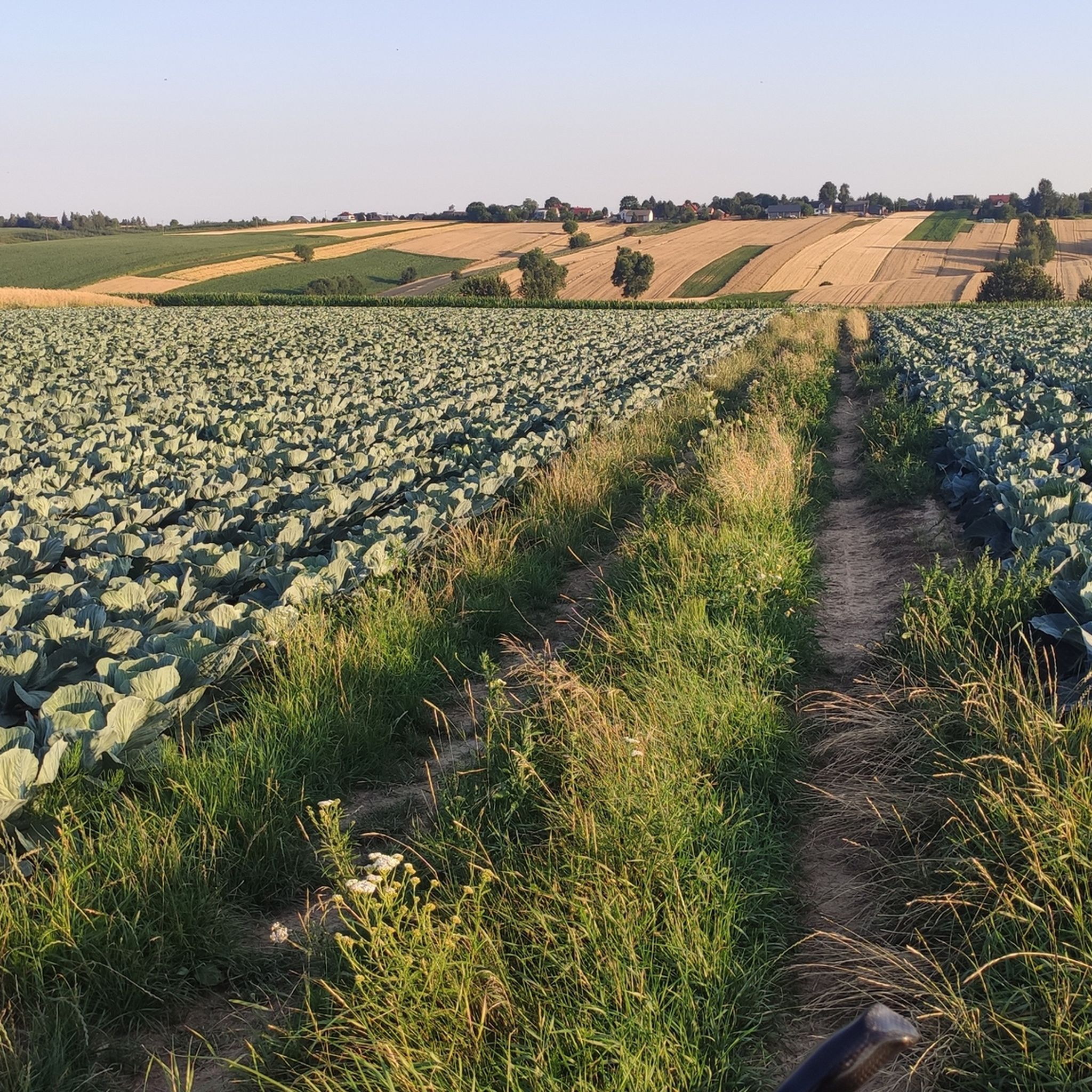
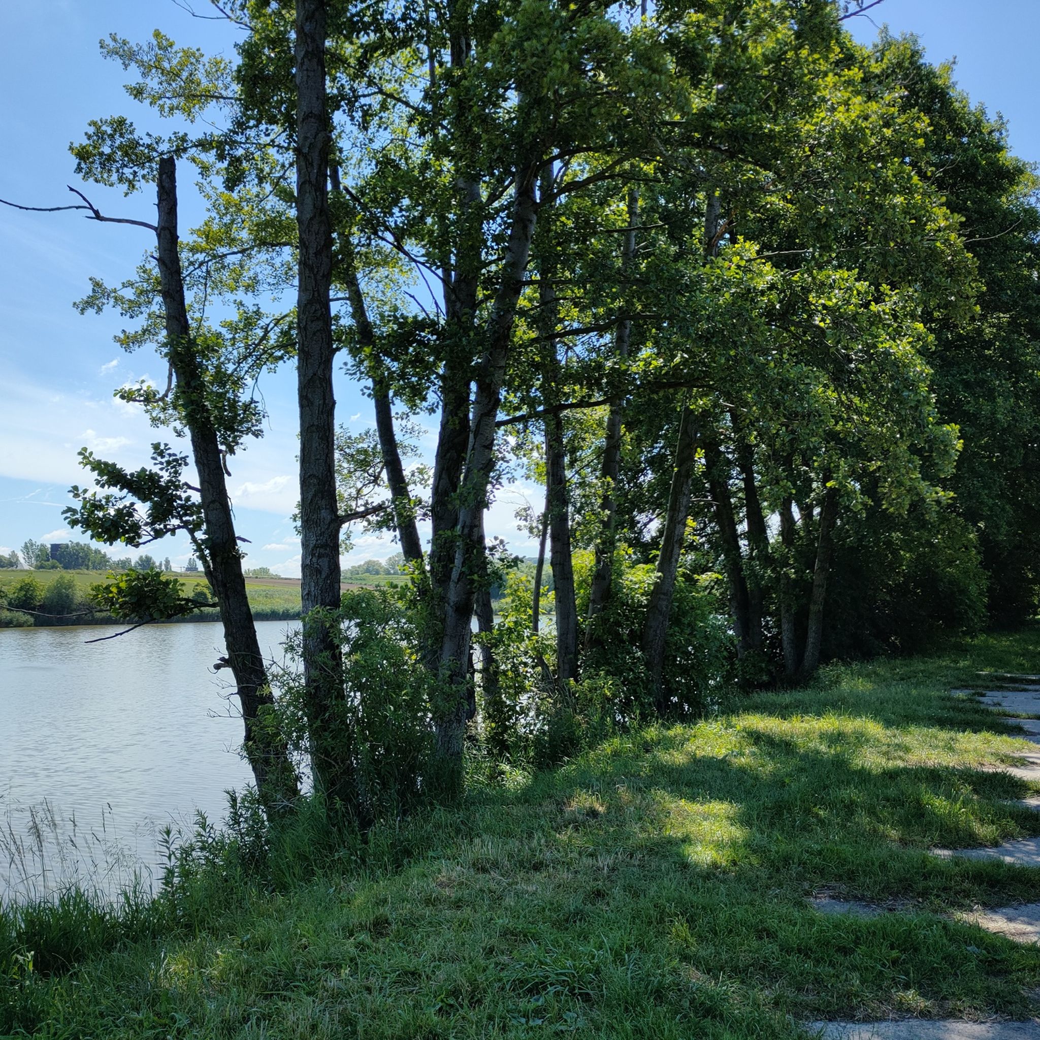
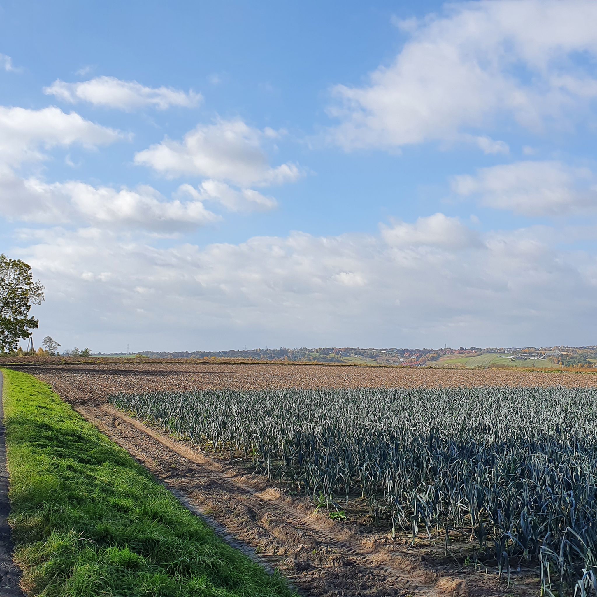
Jogging routes around Dłubniański Park Krajobrazowy traverse a diverse landscape characterized by the meandering Dłubnia River valley and striking limestone rock formations. The park, situated on the border of the Kraków-Częstochowa Upland, features undulating terrain with scattered forest complexes and open agricultural land. Numerous natural cold springs, some "pulsating," contribute to the unique natural features of the area. This varied topography provides a range of running experiences, from riverside paths to trails through gentle hills.
Best jogging routes around Dłubniański Park Krajobrazowy
- The most popular jogging route is Running loop from Michałowice, a 6.6 miles (10.6 km) trail that takes 1 hour 8 minutes to complete. This moderate route offers a balanced mix of elevation and scenic views.
- Another top favourite among local runners is Dłużnica loop from Michałowice, a moderate 4.2 miles (6.7 km) path. This route winds through the Dłubnia River valley, showcasing the park's natural beauty.
- Local runners also love the Running loop from gmina Michałowice, a 6.8 miles (11.0 km) trail leading through varied landscapes, often completed in about 1 hour 10 minutes.
- Jogging around Dłubniański Park Krajobrazowy is defined by river valleys, limestone formations, and accessible forest paths. The network offers options for different ability levels, from easy runs to more challenging routes with moderate elevation changes.
- The routes in Dłubniański Park Krajobrazowy are highly rated by the komoot community with an average score of 4.7 stars from over 370 reviews. More than 28,000 runners have used komoot to explore Dłubniański Park Krajobrazowy's varied terrain.
Last updated: October 17, 2026
7
runners
10.6km
01:08
150m
150m
Moderate run. Good fitness required. Mostly paved surfaces. Suitable for all skill levels.
5
runners
6.75km
00:43
100m
100m
Moderate run. Good fitness required. Mostly paved surfaces. Suitable for all skill levels.

3
runners
11.0km
01:10
140m
140m
Moderate run. Good fitness required. Mostly paved surfaces. Suitable for all skill levels.
5.0
(2)
83
runners
11.1km
01:16
180m
180m
Moderate run. Good fitness required. Mostly paved surfaces. Suitable for all skill levels.
46
runners
7.31km
00:51
140m
140m
Moderate run. Good fitness required. Mostly paved surfaces. Suitable for all skill levels.
Get access to more routes and recommendations from other explorers.
Already have an account?
Our route recommendations are based on thousands of hikes, rides, and runs completed by other people on komoot.
Start today with a free account
Your next adventure awaits.

Tips from the Community

At least the parking meters in the valley here accept debit cards. That wasn't the case everywhere. The castle itself is unspectacular; apart from the views of the valley, only the entrance gate is impressive. The tower itself offers almost no views, just a continuous loop of films with beautiful aerial shots.
1
0

The castle in Ojców is one of the most interesting ruins on the Trail of the Eagles' Nests, located on Castle Hill in the Ojców National Park. It was built in the 14th century on the initiative of Casimir the Great and served as a royal guardhouse. The characteristic defensive tower, entrance gate and fragments of walls, which have undergone conservation work in recent years, have survived to this day. Currently, you can visit not only the courtyard, but also the interior of the tower and the new viewing platform with a panorama of the Prądnik Valley.
3
1

Ruins of King Casimir the Great's castle (14th century). Today, the remaining fortifications, some residential quarters, a tower, and an entrance gate remain. The castle also offers beautiful views of the Prądnik Valley, with Chełmowa Góra to the south. Tickets are required to enter.
2
0

Jonaszówka, also called Gruby Janek - a rock on the orographically right slope of the Prądnik Valley in the Ojców National Park. Jonaszówka is about 20 m high, on its top there used to be the bottom of the Sąspowska and Prądnik Valleys. A path with a handrail leads from the bottom of the Prądnik Valley to its top. On the top of Jonaszówka there is a flat viewing platform secured with railings and a board with a viewing panorama and its description. From this platform there are good views of the Prądnik Valley, Sąspowska and the Ojców Castle
2
0

This approach is quite problematic for children and the elderly, but it is worth the effort 🦾
1
0
It is worth taking a walk from the parking lot in the shade of the trees along the stream
0
0
It's worth visiting, the area around Krakow is a real treasure trove of places worth seeing, Ojców - you have to be there ☝️
0
0

A rock about 20 meters high with a beautiful view of Ojców and the castle. A short and relatively easy approach.
0
0
Frequently Asked Questions
How many running routes are available in Dłubniański Park Krajobrazowy?
There are over 570 running routes available in Dłubniański Park Krajobrazowy, offering a wide variety of options for all skill levels. This includes 75 easy routes, 438 moderate routes, and 57 challenging trails.
What kind of terrain can I expect on the jogging trails in Dłubniański Park Krajobrazowy?
The jogging trails in Dłubniański Park Krajobrazowy traverse a diverse landscape. You can expect to run along the meandering Dłubnia River valley, encounter striking limestone rock formations, and explore scattered forest complexes. The terrain is generally undulating, offering a mix of riverside paths and trails through gentle hills, making it ideal for varied running experiences.
Are there running routes that feature natural springs or waterfalls?
Yes, Dłubniański Park Krajobrazowy is known for its unique natural features. You can find routes that pass by numerous natural cold springs, including fascinating "pulsating" springs like the Jordan Spring in Ściborzyce. There are also mentions of Colorful Springs in Dłubniański Landscape Park and even Waterfalls on the Dłubnia, offering beautiful sights during your run.
What do other runners say about the trails in Dłubniański Park Krajobrazowy?
The running routes in Dłubniański Park Krajobrazowy are highly rated by the komoot community, with an average score of 4.7 stars from over 370 reviews. More than 28,000 runners have explored the varied terrain, often praising the scenic beauty of the river valleys, the unique limestone formations, and the accessibility of the forest paths.
Are there any family-friendly running options in the park?
While specific family-designated routes aren't listed, the park offers a range of trails, including 75 easy routes, which are generally suitable for families looking for a less strenuous run or walk. The diverse and picturesque landscape provides an enjoyable outdoor experience for all ages.
Can I find circular running routes in Dłubniański Park Krajobrazowy?
Yes, many of the running routes in the park are circular, allowing you to start and end at the same point. An example is the Running loop from Michałowice, which is a popular moderate trail covering 6.6 miles (10.6 km).
Are the running trails in Dłubniański Park Krajobrazowy dog-friendly?
Dłubniański Park Krajobrazowy is generally welcoming to dogs, making it a great place to run with your canine companion. However, it's always recommended to keep dogs on a leash, especially in areas with wildlife or near agricultural land, and to follow local regulations regarding pet access in protected areas.
What are some scenic viewpoints or landmarks I can see while running?
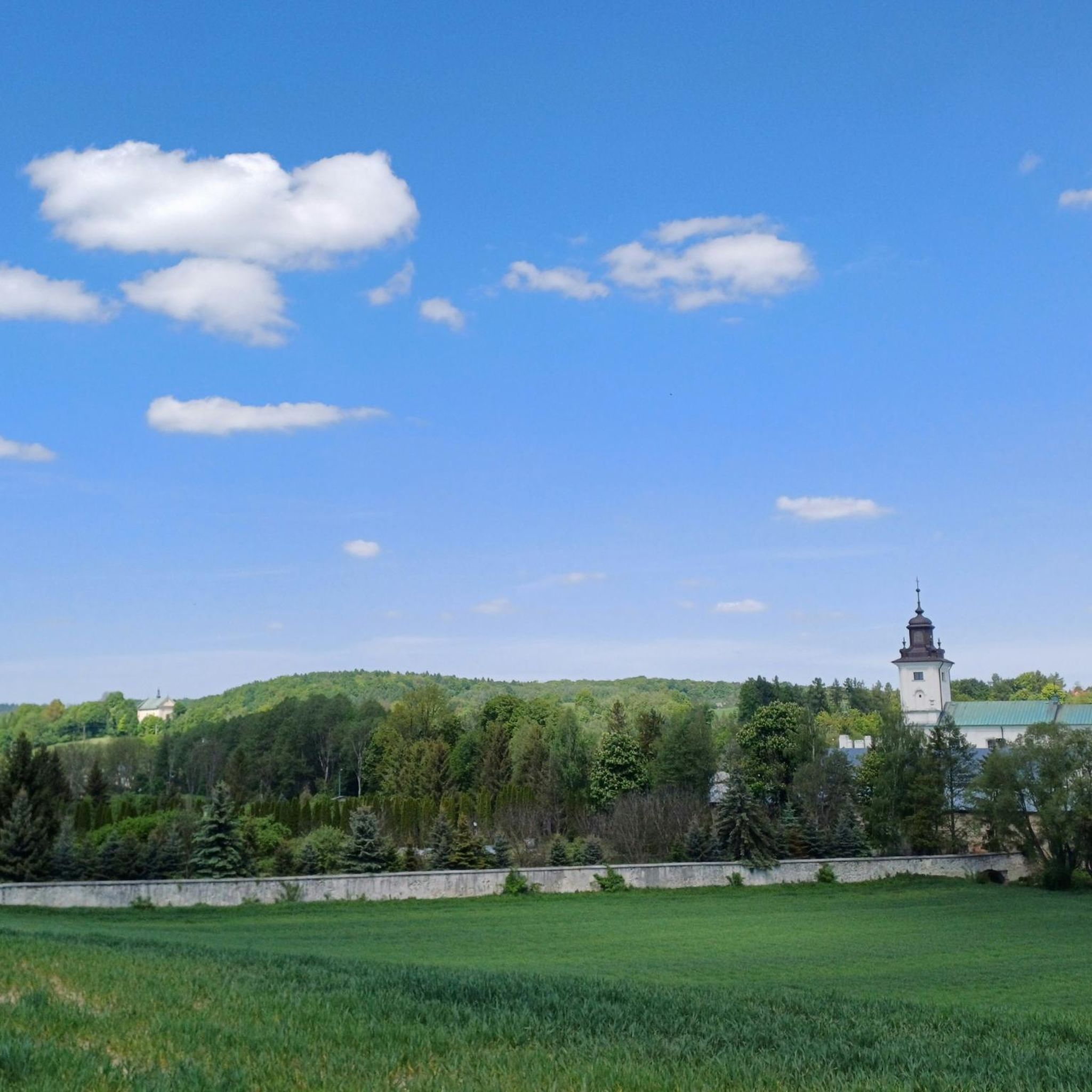
Beyond the natural beauty of the Dłubnia River valley and limestone formations, the park is rich in cultural heritage. You might encounter historic churches like St. Margaret's Church in Raciborowice or the Monastery in Imbramowice. The park also features 18th- and 19th-century nobleman's manor complexes, adding historical charm to your run.
Are there longer distance running trails available for more experienced runners?
Yes, for runners looking for longer distances, the park offers several options. For instance, the Ojców Castle – Jonaszówka Viewpoint loop from gmina Skała is a moderate 7.7-mile (12.4 km) route that provides a good challenge with varied elevation.
When is the best time of year to go running in Dłubniański Park Krajobrazowy?
The diverse landscape of Dłubniański Park Krajobrazowy makes it suitable for running throughout much of the year. Spring and autumn offer pleasant temperatures and vibrant scenery, with blooming flowers or colorful foliage. Summer is also popular, though it's advisable to run in the mornings or evenings to avoid the midday heat. Even in winter, the park can be beautiful for running, provided conditions are safe and trails are clear of heavy snow or ice.
Is there parking available near the running routes in Dłubniański Park Krajobrazowy?
Yes, parking is generally available at various access points and villages surrounding the park, such as Michałowice, which serves as a common starting point for several popular routes like the Dłużnica loop from Michałowice. Specific parking details can often be found on individual route pages or local information boards.
How can I reach the running trails using public transport?
While Dłubniański Park Krajobrazowy is accessible, public transport options might be limited depending on your exact starting point. It's best to research local bus services connecting to the villages within or bordering the park, such as Michałowice or Imbramowice. For detailed information on public transport schedules and stops, consulting local transport authority websites is recommended.
Most popular routes around Dłubniański Park Krajobrazowy
Most popular attractions around Dłubniański Park Krajobrazowy

Get inspired with the komoot mobile app


Explore more
Browse the best Running Trails & Routes in other regions.
