The best road cycling routes around Gallinero De Cameros
4.6
(8)
444
riders
17
rides
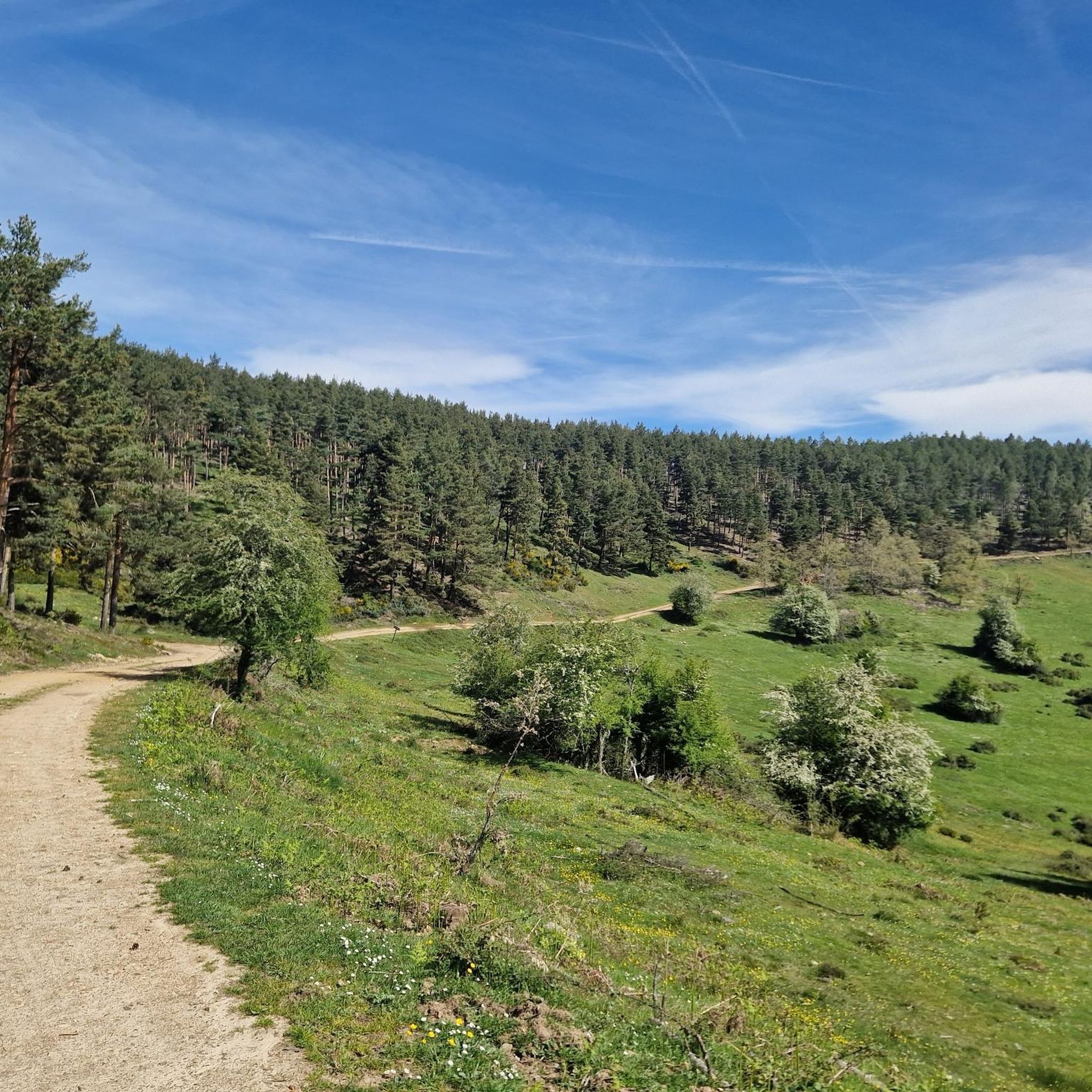
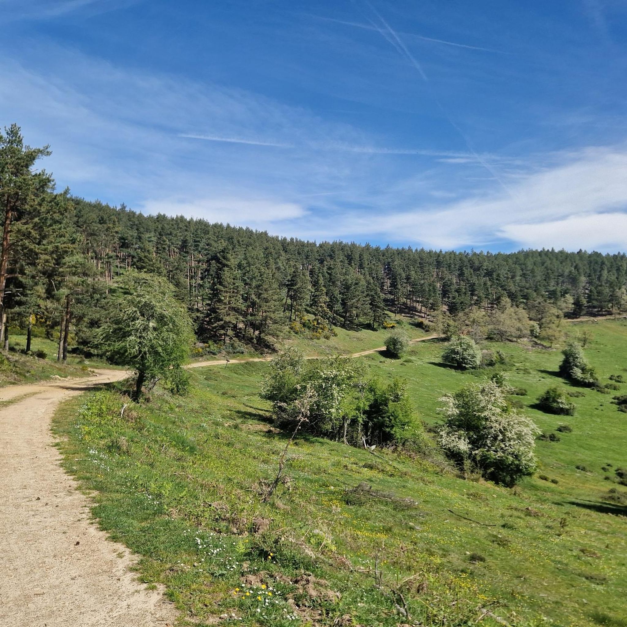
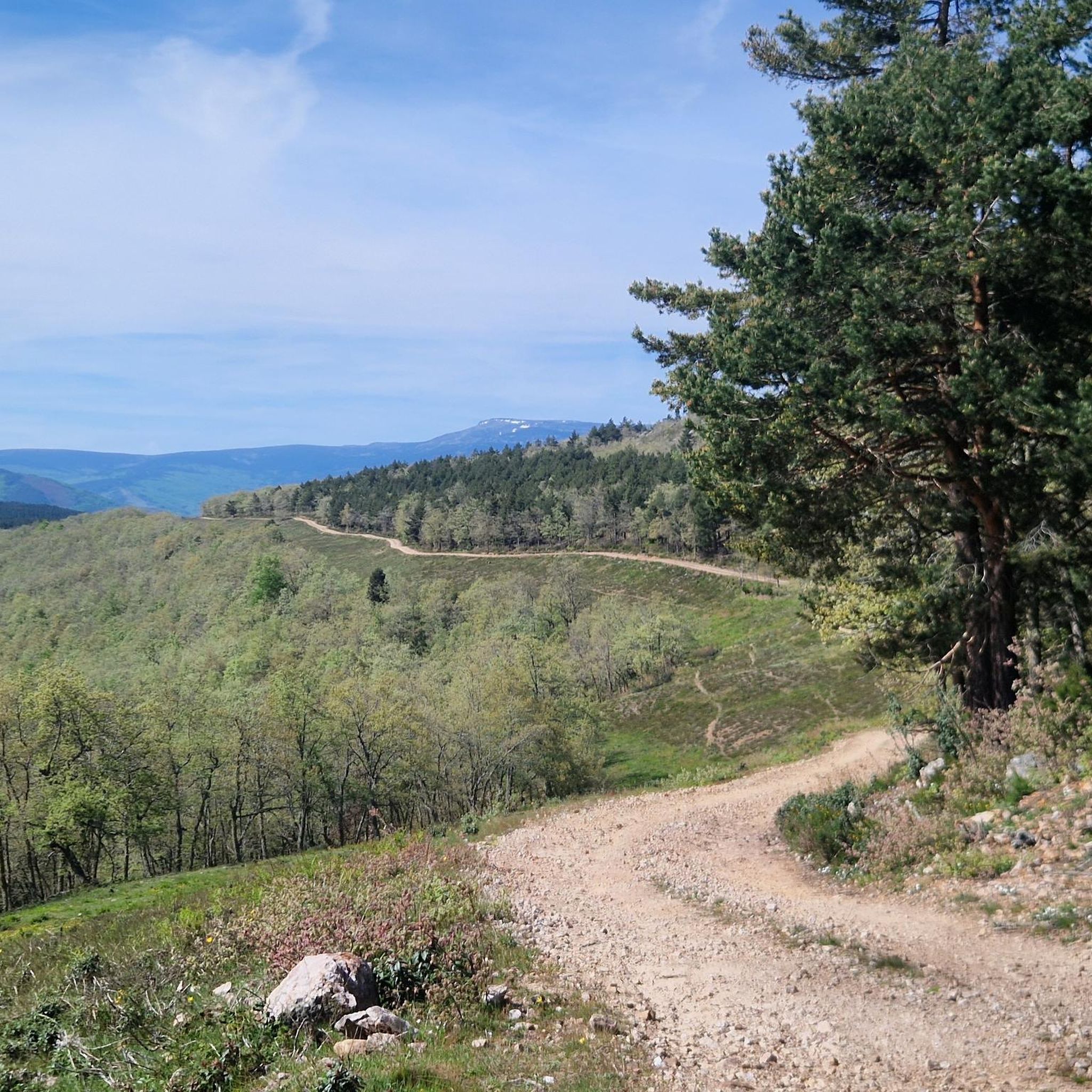
Road cycling routes around Gallinero De Cameros are characterized by the challenging mountainous terrain of the Sierra de Cameros in La Rioja, Spain. The region features significant elevation changes, sinuous roads, and mountain passes such as La Rasa and Peña Hincada. Cyclists navigate through valleys carved by rivers like the Leza, offering panoramic views and a blend of natural and traditional landscapes. The area provides a demanding experience for road cyclists seeking pure mountain riding.
Best road cycling routes around…
Last updated: July 12, 2026
4.0
(1)
93
riders
85.2km
04:50
1,790m
1,790m
This difficult 52.9-mile (85.2 km) road cycling loop through Sierra de Camero features challenging mountain passes and diverse landscapes.
4.8
(6)
163
riders
94.9km
04:32
1,240m
1,240m
Hard road ride. Very good fitness required. Mostly well-paved surfaces and easy to ride.

Sign up for free
31
riders
170km
08:46
3,080m
3,080m
Hard road ride. Very good fitness required. Mostly well-paved surfaces and easy to ride.
12
riders
Moderate road ride. Good fitness required. Mostly well-paved surfaces and easy to ride.
10
riders
Moderate road ride. Good fitness required. Mostly well-paved surfaces and easy to ride.
Get access to more routes and recommendations from other explorers.
Sign up for free
Already have an account?
Our route recommendations are based on thousands of hikes, rides, and runs completed by other people on komoot.
Start today with a free account
Your next adventure awaits.
Login or Signup

Tips from the Community

A recommended area for walking.
0
0

The stone bridge is one of the four bridges that cross the Ebro in Logroño. It is also called the bridge of San Juan de Ortega. The current structure was built in 1884 after the previous bridge collapsed in 1871. As one of the city's symbols, the bridge, which is used to enter the town on the Way of St. James, can also be seen on its coat of arms. https://www.spain.info/de/highlights/steinbruecke/
2
0

Rivers like the Ebro were a big challenge for pilgrims in the centuries before. That's why the Way of St. James always runs along traffic routes with bridges. The larger cities are always found where there are large bridges. The motorways and national roads now have their own paths. And that's a good thing.
2
0

There is a very nice walk through the town! Time: about 1 hour
1
0

Be careful, the 12% on the return and in the sun are formidable
0
0

Magnificent traditional entrance to the Camino De Santiago.
1
0

Main entrance for pilgrims on the Camino de Santiago to Logroño. Renovated in 2022.
1
0
It is located in the Leza Valley, between Leza on the Leza River and Soto en Cameros. Fairly quiet road and very busy with cyclists throughout the year. Sitting and watching the flight of the vultures in the canyon is a privilege.
1
0
Frequently Asked Questions
How many road cycling routes are available around Gallinero De Cameros?
There are over 10 road cycling routes around Gallinero De Cameros, offering a variety of challenging experiences through the Sierra de Cameros. These routes are highly rated by the komoot community, with an average score of 4.6 stars.
What kind of terrain can I expect on road cycling routes in Gallinero De Cameros?
The region is characterized by challenging mountainous terrain with significant elevation changes. You'll encounter sinuous roads and mountain passes like La Rasa and Peña Hincada, offering pure mountain riding through valleys carved by rivers such as the Leza.
Are there any easy or beginner-friendly road cycling routes in Gallinero De Cameros?
The road cycling routes around Gallinero De Cameros are generally demanding, with 9 out of 13 routes classified as difficult and 4 as moderate. There are no routes specifically categorized as easy, so cyclists should be prepared for significant ascents and descents.
Are there any circular road cycling routes in the area?
Yes, several routes are circular. For instance, the Near la Rasa y Collado de Sancho Leza — circular through the Tierra de Cameros is a challenging 72.6 km loop. Another option is the Logroño Stone Bridge – Logroño loop from Laguna de Cameros, which covers about 95 km.
What are some notable landmarks or viewpoints along the road cycling routes?
Many routes offer panoramic views of the Sierra de Cameros. You might pass by the Puerto de la Rasa (1,420 m), a significant mountain pass. The region also features traditional mountain villages and dramatic scenery along the River Leza canyon, where you can spot griffon vultures.
Can I find places to explore or attractions near the cycling routes?
Absolutely. Beyond the cycling, you can explore traditional 'camerana' architecture in villages like Gallinero de Cameros itself. The nearby Ortigosa de Cameros is a charming settlement, and you might encounter the González Lacasa Reservoir or the Church of San Martín.
Are there any routes that pass by water features or natural reserves?
The routes traverse valleys carved by rivers like the Leza, offering scenic water elements. The Sierra Cebollera Nature Reserve is also located nearby, providing unique landscapes and rich flora and fauna, though specific cycling routes directly through it are not detailed here.
What is the most challenging road cycling route in the area?
The Canales de la Sierra – Peña Hincada Pass loop from Ortigosa de Cameros is particularly demanding, covering nearly 170 km with over 3000 meters of elevation gain, making it suitable for very fit cyclists.
What do other cyclists say about road cycling in Gallinero De Cameros?
The area is highly rated by the komoot community, with an average score of 4.6 stars from over 5 reviews. Cyclists often praise the challenging mountain riding, the stunning panoramic views, and the blend of natural and traditional landscapes.
Is Gallinero De Cameros suitable for family-friendly road cycling?
Given the predominantly difficult and moderate routes with significant elevation changes, Gallinero De Cameros is more suited for experienced road cyclists. There are no easy routes specifically identified as family-friendly for road biking in this mountainous region.
Can I bring my dog on these road cycling routes?
Road cycling routes are generally not suitable for dogs due to the speeds involved and the potential for traffic on paved roads. For activities with dogs, it's usually better to look for dedicated hiking or mountain biking trails where dogs are permitted and conditions are safer.
What is the best time of year for road cycling in Gallinero De Cameros?
While specific seasonal details are not provided, mountainous regions like the Sierra de Cameros typically offer the best road cycling conditions during spring, summer, and early autumn. Winters can bring snow and colder temperatures, making some passes inaccessible or hazardous.
Are there any caves to explore near the cycling routes?
Yes, the area features several caves. You can find highlights such as CuevaLobrega-I, CuevaMesa, and Cueva Ventana, which could be interesting stops if you're exploring the region.
Most popular attractions around Gallinero De Cameros

Get inspired with the komoot mobile app


Explore more
Browse the best Road cycling routes in other regions.
