The best walks and hikes around Buckautal
4.6
(311)
913
hikers
153
hikes
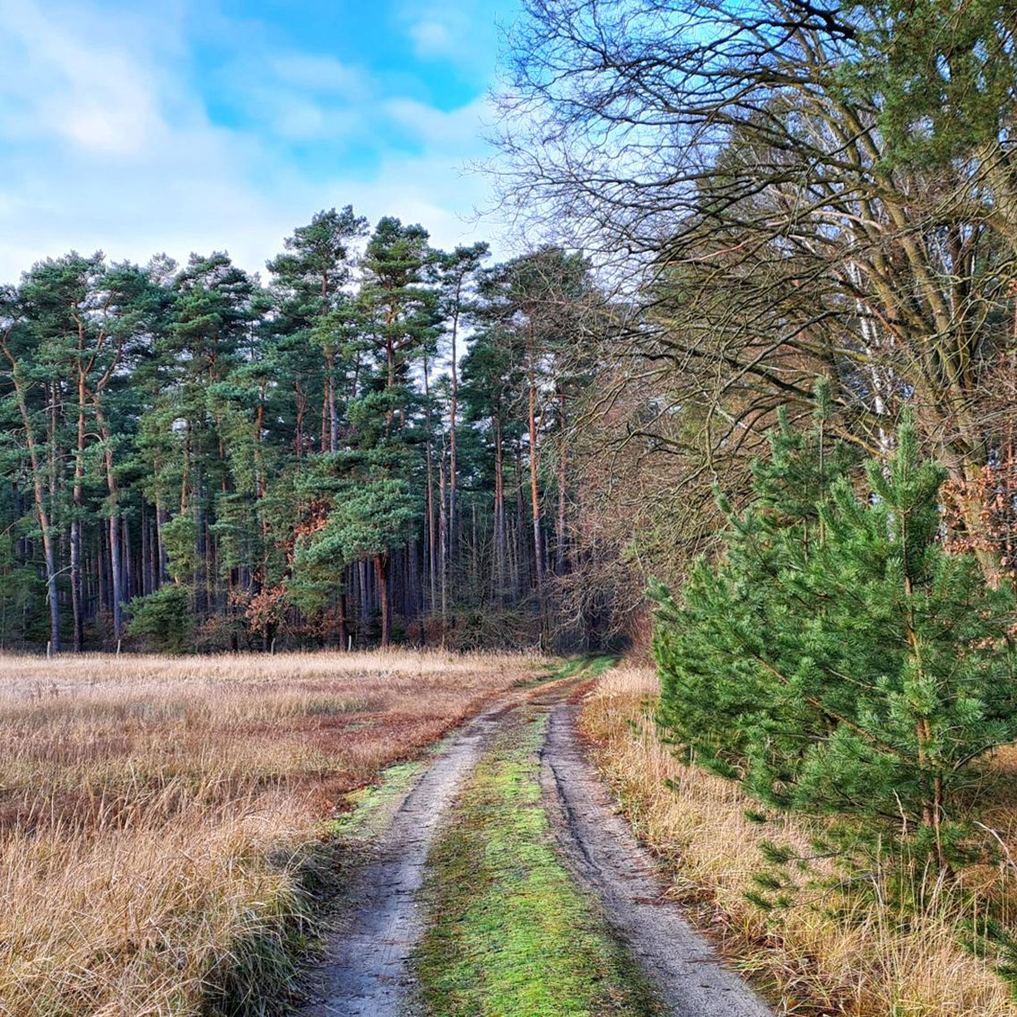
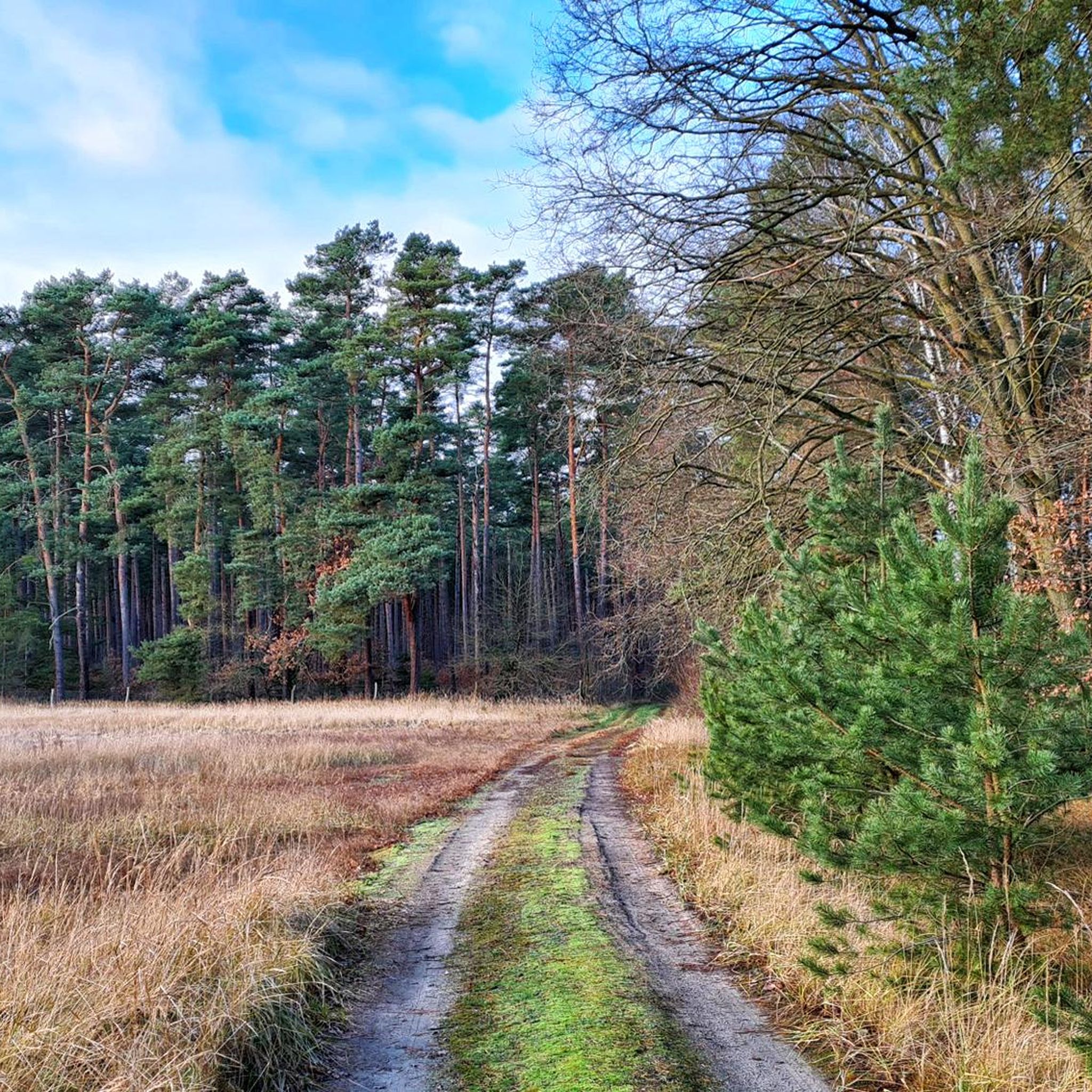
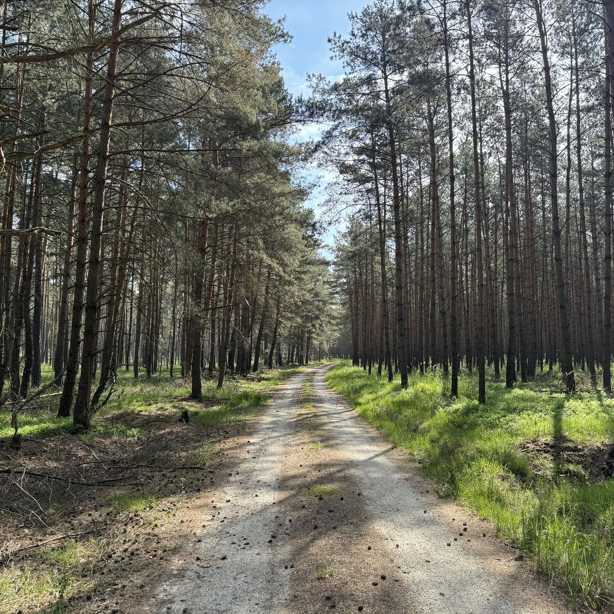
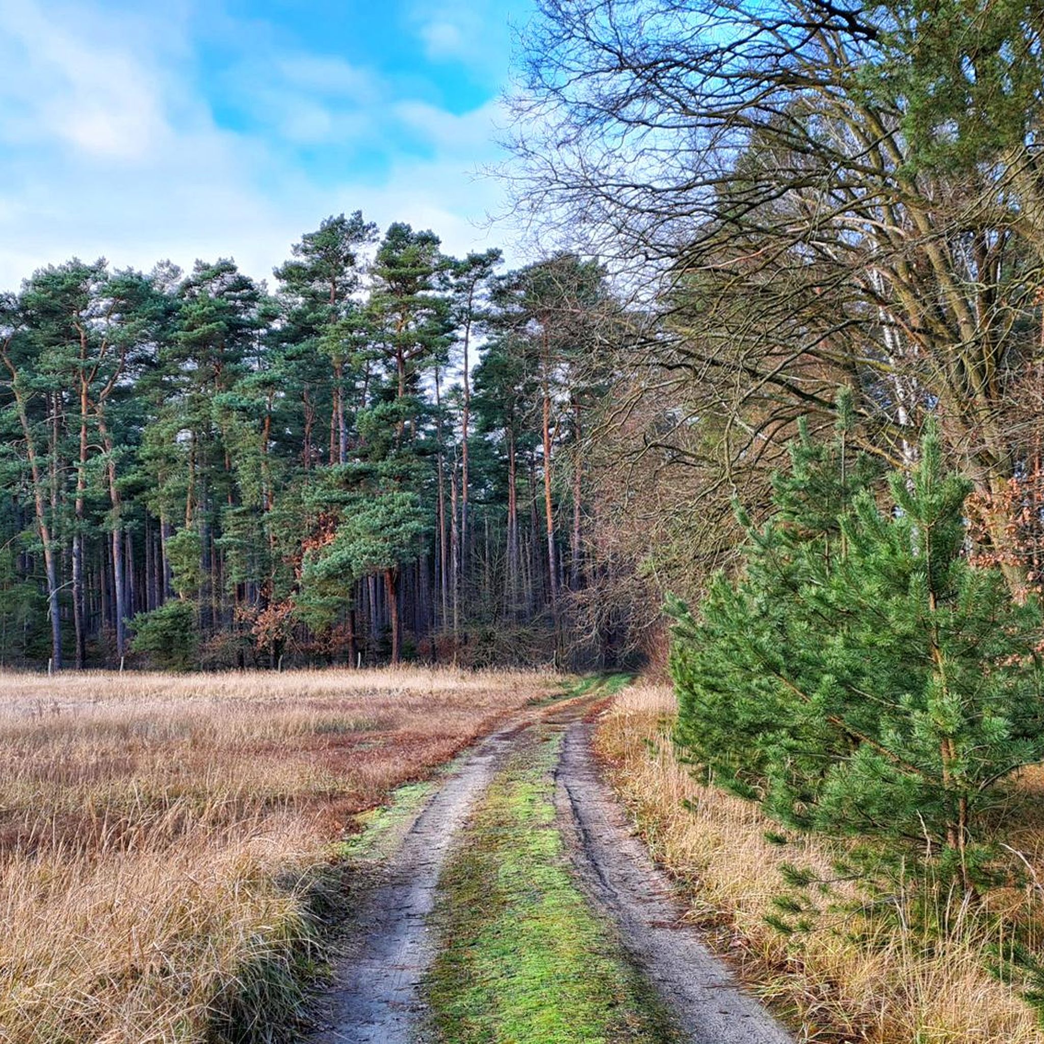
Hiking around Buckautal offers diverse landscapes for outdoor enthusiasts. The region is characterized by a hilly and forest-rich environment, particularly within the northern part of the Hoher Fläming Nature Park. The lowland area surrounding the Buckau stream features a mix of forests, open fields, and agricultural paths, providing varied scenery. The source of the Buckau stream is found in the "butter mountains."
Best hiking trails around Buckautal
- The most popular hiking route is Bücknitz Village Church – Bishop's residence Ziesar Castle loop from Bücknitz, a 9.2 miles (14.8 km) trail that takes 3 hours 45 minutes to complete. This moderate route connects historical sites through varied terrain.
- Another top favourite among local hikers is Rest Area at Strynzelbach – Bücknitz Village Church loop from Glienecke, a moderate 8.2 miles (13.3 km) path. This route loops through the Buckautal lowland, offering a mix of fields and forests.
- Local hikers also love the Stork Tower, Ziesar Castle – Bishop's residence Ziesar Castle loop from Buckautal, a 16.9 miles (27.2 km) trail leading through the region's varied landscape, often completed in about 6 hours 55 minutes.
- Hiking around Buckautal is defined by lowland areas, the Buckau stream, and a mix of forests and agricultural paths. The network offers options for different ability levels, from moderate to difficult.
- The routes in Buckautal are highly rated by the komoot community with an average score of 4.6 stars from over 280 reviews. More than 900 hikers have used komoot to explore Buckautal's varied terrain.
Last updated: October 13, 2026
4.6
(14)
42
hikers
Moderate hike. Good fitness required. Easily-accessible paths. Suitable for all skill levels.
4.7
(6)
20
hikers
Moderate hike. Good fitness required. Easily-accessible paths. Suitable for all skill levels.

4.3
(3)
14
hikers
Moderate hike. Good fitness required. Easily-accessible paths. Suitable for all skill levels.
5.0
(3)
8
hikers
Hard hike. Very good fitness required. Easily-accessible paths. Suitable for all skill levels.
4.3
(3)
13
hikers
Moderate hike. Good fitness required. Easily-accessible paths. Suitable for all skill levels.
Get access to more routes and recommendations from other explorers.
Already have an account?
Our route recommendations are based on thousands of hikes, rides, and runs completed by other people on komoot.
Start today with a free account
Your next adventure awaits.

Tips from the Community

The Holy Cross Church in Ziesar is a single-nave, late Romanesque church built from fieldstone – Ice Age boulders – in the first half of the 13th century. Its appearance is rather simple, both inside and out. After renovations, the choir shows the first influences of the emerging Brick Gothic style.
1
0

beautiful bench right on the hiking trail
0
0

Neo-Romanesque hall church from 1883 on a fieldstone base. Recessed west tower with pointed roof
0
0

The castle chapel is one of the most important medieval sacred buildings in northern Germany. Unfortunately closed.
0
0

is not a museum, has been used as a place of worship since 1952 with nice acoustics
9
0
Located next to the town church
7
0
Built directly with the church
9
0
So everyone has set their own monument
7
0
Frequently Asked Questions
How many hiking trails are available in Buckautal?
Buckautal offers a wide selection of hiking opportunities, with over 150 trails to explore. These routes cater to various preferences, ranging from easy strolls to more challenging excursions.
Are there hiking trails for all skill levels in Buckautal?
Yes, Buckautal provides trails for all abilities. You'll find approximately 68 easy routes perfect for a relaxed walk, 81 moderate trails for a good workout, and 9 more difficult options for experienced hikers seeking a challenge.
What kind of landscape can I expect when hiking in Buckautal?
The Buckautal region, situated within the northern Hoher Fläming Nature Park, features a diverse landscape. Hikers can expect a mix of hilly and forest-rich environments, open fields, and agricultural paths. The lowland area surrounding the Buckau stream is a defining characteristic, offering varied scenery throughout your hike.
What historical sites or natural features can I see while hiking in Buckautal?
Buckautal is rich in both history and natural beauty. You can explore significant landmarks such as the Bishop's residence Ziesar Castle, a prominent historical site from the 14th century. Other points of interest include the Dangelsdorf Church Ruins and various natural monuments like the Blauer Stein (Hoher Fläming).
Are there family-friendly hiking options in Buckautal?
While specific family-friendly routes are not highlighted, the region offers numerous easy trails that are generally suitable for families. These paths often traverse gentle terrain through forests and fields, providing a pleasant outdoor experience for all ages.
Can I bring my dog on the hiking trails in Buckautal?
Buckautal's diverse landscape of forests, fields, and paths makes it a great area for hiking with dogs. Most trails are suitable for well-behaved dogs on a leash, allowing them to enjoy the natural surroundings alongside you. Always remember to respect local wildlife and clean up after your pet.
Are there many circular hiking routes in Buckautal?
Yes, many of the trails in Buckautal are designed as circular routes, offering convenient starting and ending points. For example, the Bücknitz Village Church – Bishop's residence Ziesar Castle loop from Bücknitz is a popular moderate option that takes you through varied terrain and historical sites.
When is the best time of year to go hiking in Buckautal?
The Buckautal region is enjoyable for hiking throughout much of the year. Spring and autumn offer pleasant temperatures and vibrant scenery, with blooming flowers or colorful foliage. Summer is also popular, especially for routes near water bodies, while winter can provide a unique, tranquil experience if trails are clear.
What do other hikers say about the trails in Buckautal?
The hiking trails in Buckautal are highly regarded by the komoot community, boasting an average rating of 4.6 out of 5 stars from over 280 reviews. Hikers often praise the varied terrain, the peaceful forest sections, and the well-maintained paths that make for an enjoyable outdoor experience.
Are there challenging hikes for experienced hikers in Buckautal?
Yes, for those seeking a more strenuous adventure, Buckautal offers several challenging routes. An example is the Stork Tower, Ziesar Castle – Bishop's residence Ziesar Castle loop from Buckautal, a difficult 27.2 km trail that requires good physical condition and takes nearly 7 hours to complete.
Are there any routes that feature water bodies or the Buckau stream?
The Buckautal region is defined by the lowland area surrounding the Buckau stream and its tributaries. Many routes will lead you alongside or near these water features. The Rest Area at Strynzelbach – Bücknitz Village Church loop from Glienecke, for instance, loops through the Buckautal lowland, offering views of the stream and a mix of fields and forests.
Is parking available near the trailheads in Buckautal?
While specific parking locations are not detailed, many popular trailheads in the Buckautal region, especially those near villages or attractions like Ziesar Castle, typically offer designated parking areas for hikers. It's advisable to check local signage upon arrival.
How can I reach the hiking trails in Buckautal using public transport?
Buckautal is part of the broader Hoher Fläming Nature Park, and some villages within the region, such as Ziesar, may be accessible by regional bus services. For detailed public transport information to specific trailheads, it's recommended to consult local transport schedules for the Brandenburg area.
Most popular attractions around Buckautal

Get inspired with the komoot mobile app


Explore more
Browse the best Hikes in other regions.
