The best running trails around Zalduondo
884
runners
69
runs
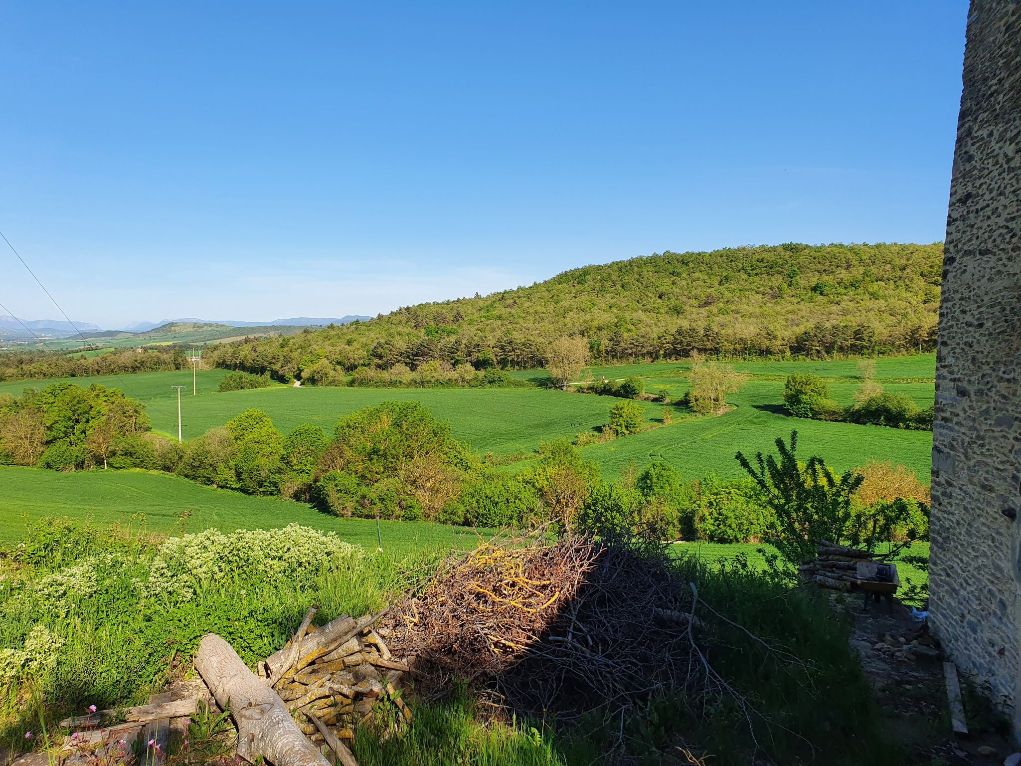
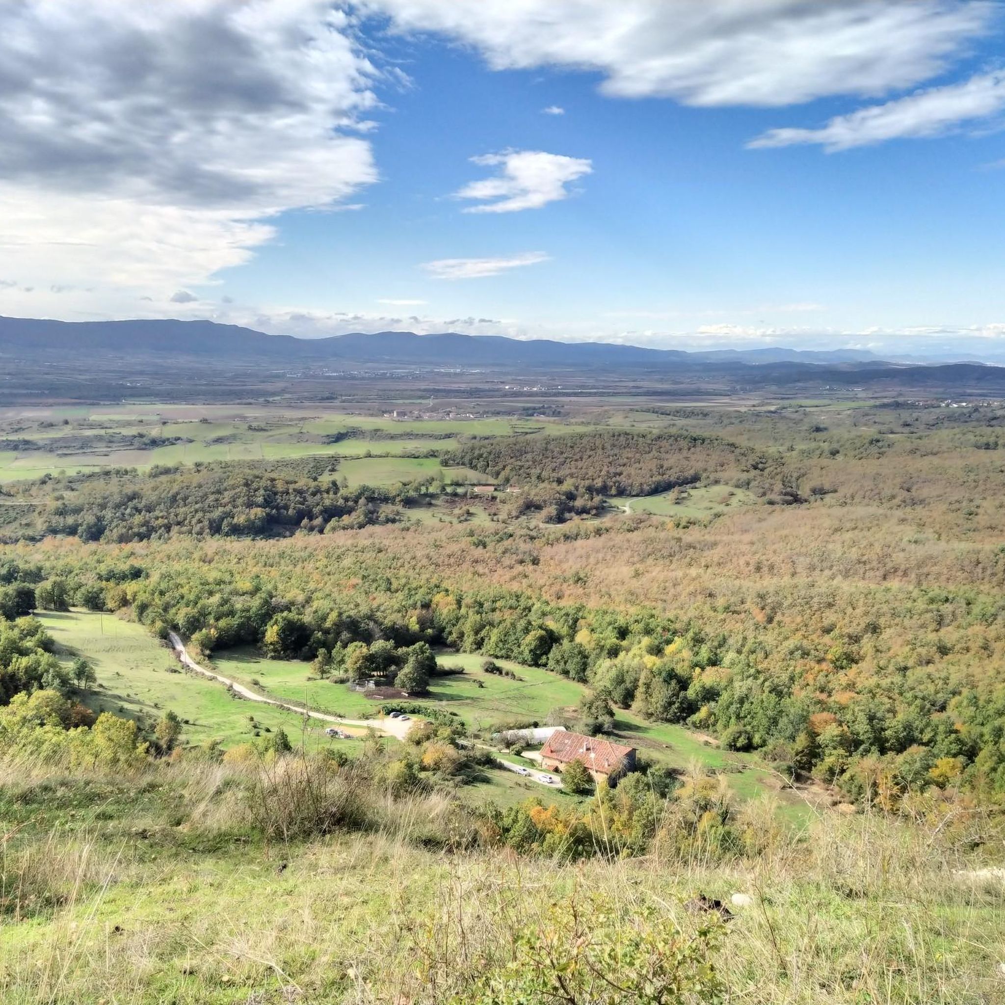
Jogging routes around Zalduondo offer access to a landscape characterized by its proximity to the Aizkorri Natural Park and the Sierra de Entzia nature reserve. This region provides a diverse terrain of mountains and forests, ideal for outdoor activities. The village name itself, meaning "next to a forest or jungle," reflects its inherent connection to lush natural surroundings. Joggers can explore historical paths like the Camino Real, which ascends towards the San Adrián Tunnel, providing both invigorating exercise and cultural…
Last updated: July 3, 2026
15
runners
6.57km
00:43
40m
40m
Moderate run. Good fitness required. Mostly paved surfaces. Suitable for all skill levels.
7
runners
8.88km
00:56
60m
60m
Moderate run. Good fitness required. Mostly paved surfaces. Suitable for all skill levels.

Sign up for free
7
runners
5.82km
00:47
180m
180m
Hard run. Good fitness required. Sure-footedness, sturdy shoes and alpine experience required.
13
runners
14.1km
02:21
770m
770m
Hard run. Very good fitness required. Sure-footedness, sturdy shoes and alpine experience required.
4
runners
Moderate run. Good fitness required. Mostly paved surfaces. Suitable for all skill levels.
Get access to more routes and recommendations from other explorers.
Sign up for free
Already have an account?
Our route recommendations are based on thousands of hikes, rides, and runs completed by other people on komoot.
Start today with a free account
Your next adventure awaits.
Login or Signup

Other adventures around Zalduondo

Tips from the Community

You can climb on foot, gravel and MTB.
0
0

It is an impressive spring from the aquifers that permeate the limestone rock. A dam has been built to channel part of the water through a ditch. A beautiful waterfall jumps from the dam.
2
0


I confirm that the climb through the beech forest on the north face is easier, even if the road is wet, than the climb along the south slope.
3
0
The cover photo of colleague Javier Colmenero is impressive.
3
0

Picturesque medieval town located in the province of Álava. Its cobbled streets, churches and ancient walls is like going back in time. Highly recommend taking a bike ride through its streets to immerse yourself in the history and culture of the region. It is also an incredible place to enjoy its delicious cuisine.
2
0

Agurain-Salvatierra is located in the south-central part of the Llanada Alavesa region, in the province of Álava. It is the capital of the Cuadrilla de la Llanada Alavesa region and is located 27 kilometers from Vitoria. A place reachable by bike and with a great atmosphere for a stop.
0
0

Nice place with a walkway.
3
0
Frequently Asked Questions
How many running routes are available around Zalduondo?
There are over 70 running routes available around Zalduondo, offering a wide variety of options for different skill levels and preferences. The area is known for its diverse terrain, from moderate loops to challenging mountain ascents.
What kind of terrain can I expect on the running trails in Zalduondo?
The terrain around Zalduondo is characterized by its proximity to the Aizkorri Natural Park and the Sierra de Entzia nature reserve. You can expect a diverse landscape of mountains, dense woodlands, and historical paths. The village name itself, meaning "next to a forest or jungle," reflects its inherent connection to lush natural surroundings.
Are there running routes suitable for beginners in Zalduondo?
Yes, while many routes feature significant elevation, there are options suitable for beginners. For example, the Agurain/Salvatierra loop from Agurain / Salvatierra is a moderate 4.1-mile (6.6 km) path with a relatively flat profile, making it suitable for a steady run through the local area.
What are some of the more challenging running trails in Zalduondo?
For those seeking a challenge, routes like the Hermitage of the Holy Spirit – San Adrián Tunnel loop from San Adriango tunela offer significant elevation gain through natural parkland. Another difficult option is the Artzanegi – Refugio Apota Aterpea loop from Araia, a 9.6-mile (15.4 km) trail leading through mountainous terrain.
Are there any natural landmarks or points of interest to see while jogging near Zalduondo?
Absolutely. Many routes offer scenic views and pass by notable landmarks. You might encounter the historic San Adrián Tunnel, or even the impressive Tobería Waterfalls. The area also features medieval bridges like Zubizabal and Txaroste within Zalduondo itself.
Can I find routes that pass by waterfalls in the Zalduondo area?
Yes, the region boasts several beautiful waterfalls. The Tobería Waterfalls are a prominent natural attraction, and you can also find the Source of the Zirauntza River, which features a waterfall, and the Andoin Waterfall.
Are there circular running routes available in Zalduondo?
Many of the running routes around Zalduondo are designed as loops, allowing you to start and finish in the same location. Examples include the Agurain/Salvatierra loop from Agurain and the Source of the Zirauntza River loop from Araia.
Is parking available near the running trailheads in Zalduondo?
Yes, parking is generally available in and around Zalduondo, particularly near popular starting points for trails. It's advisable to check specific route descriptions for detailed parking information, especially when heading into the natural parks.
Are the running trails around Zalduondo suitable for families?
Zalduondo offers a mix of trails, and some are suitable for families looking for a less strenuous outing. While many routes involve significant elevation, there are easier, flatter paths, especially closer to the village center or in the Llanada Alavesa area, that can be enjoyed by families.
Are there dog-friendly running routes in Zalduondo?
Many of the natural trails and paths in the Zalduondo area, particularly within the natural parks and forests, are dog-friendly. However, it's always recommended to keep dogs on a leash, especially in protected areas or near livestock, and to follow local regulations regarding pets.
What do other runners say about the trails in Zalduondo?
Over 800 runners have used komoot to explore Zalduondo's varied terrain. Users frequently praise the region for its beautiful natural park trails, dense woodlands, and the opportunity for both invigorating exercise and cultural immersion along historical paths like the Camino Real.
When is the best time of year to go jogging in Zalduondo?
Zalduondo offers pleasant jogging conditions throughout much of the year. Spring and autumn provide mild temperatures and vibrant scenery, making them ideal. Summer can be warm but is enjoyable in the mornings or evenings, especially on shaded forest trails. Winter jogging is also possible, though some higher elevation paths might require more preparation due to colder conditions.
Most popular routes around Zalduondo
Most popular attractions around Zalduondo

Get inspired with the komoot mobile app


Explore more
Browse the best Running Trails & Routes in other regions.
