The best cycling routes around Valtajeros
5.0
(1)
11
riders
2
rides
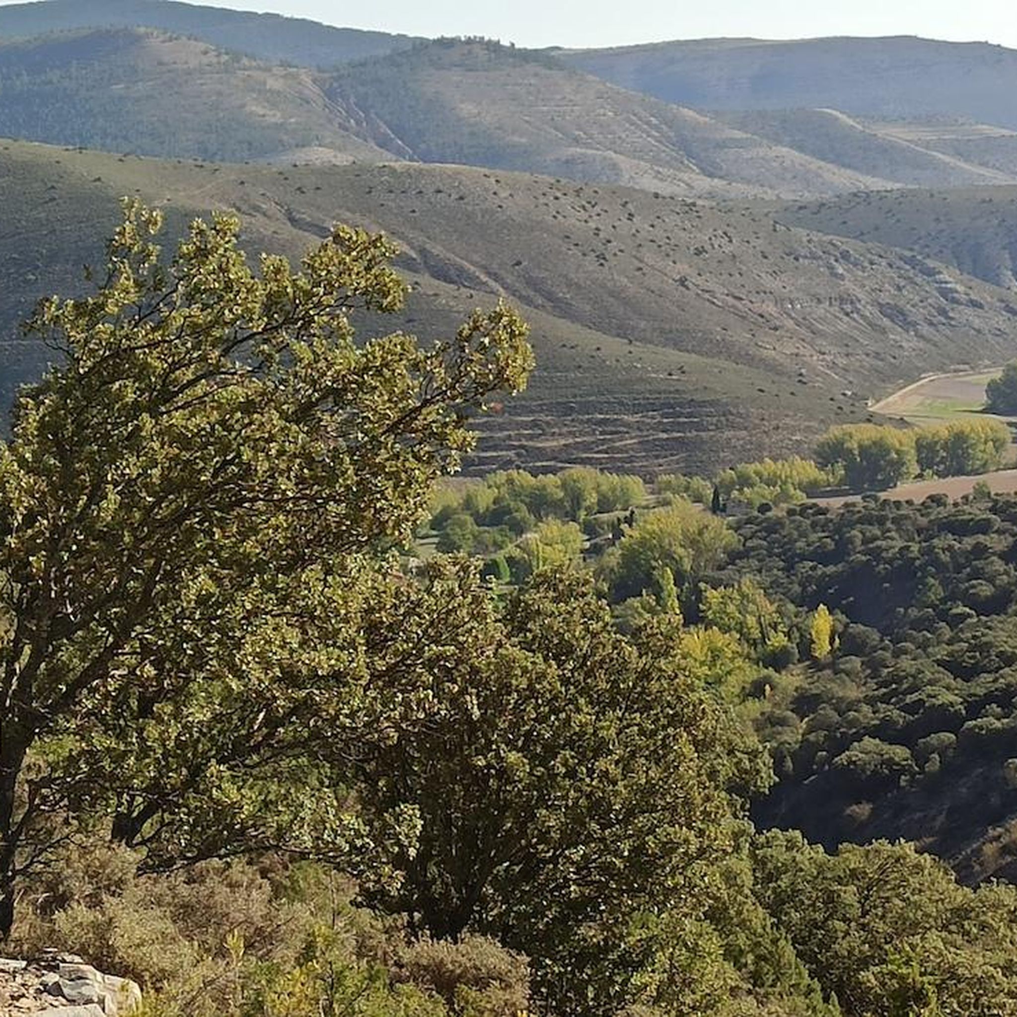
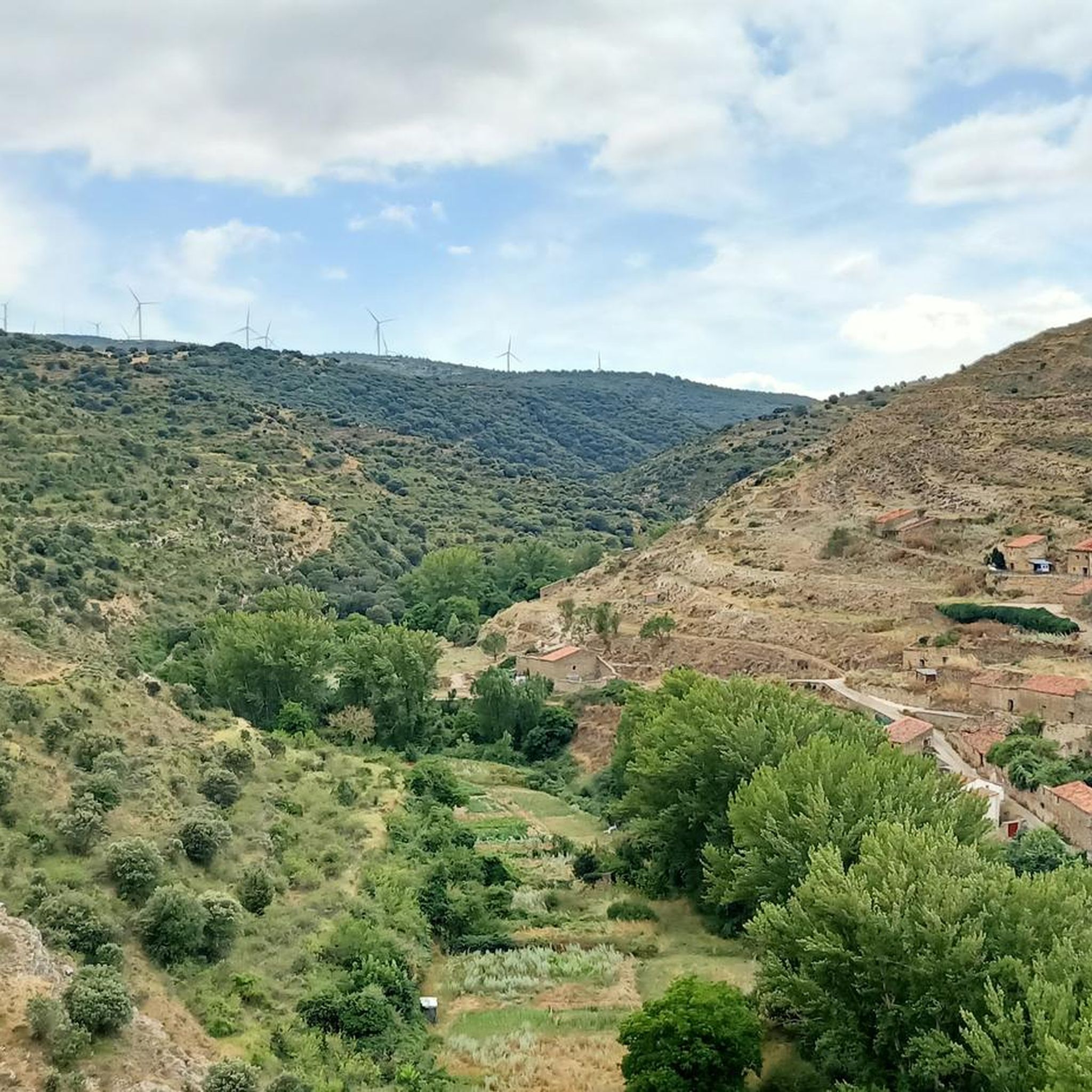
Touring cycling around Valtajeros is characterized by its mountainous terrain and river valleys, situated at an altitude of 1261 meters. The village lies at the foot of the Sierra del Rodadero and between the Sierras Del Alba and La Alcarama, offering varied topography with climbs and descents. The nearby Alhama River and its valley contribute to the natural beauty, providing diverse routes. This region features rich vegetation, including oak, holly, beech, and holm oak, and is part of the Natura…
Last updated: June 28, 2026
7
riders
61.9km
04:26
1,230m
1,230m
Hard bike ride. Very good fitness required. Mostly paved surfaces. Suitable for all skill levels.
2
riders
32.2km
03:02
570m
570m
Hard bike ride. Very good fitness required. Mostly paved surfaces. Suitable for all skill levels.

Sign up for free
5.0
(1)
2
riders
42.6km
02:49
650m
650m
Hard bike ride. Very good fitness required. Mostly paved surfaces. Suitable for all skill levels.
Our route recommendations are based on thousands of hikes, rides, and runs completed by other people on komoot.
Start today with a free account
Your next adventure awaits.
Login or Signup
Popular around Valtajeros

Tips from the Community

Essential to visit the "como en casa" teleclub where you eat luxuriously
0
0
There is a fountain and a bar in the center of the village
0
0

Small and pretty town, area with lots of interesting mountain bike trails
0
0

San Pedro Manrique is a municipality in Soria in the Tierras Altas region, in the community of Castilla y León. Its origin dates back to the Celts, Vascones, Iberians and Romans. With the passage of time, other neighboring towns such as Sarnago, Las Fuentes de San Pedro, Matasejún, Palacio de San Pedro, Taniñe, Valdenegrillos and Ventosa de San Pedro have been incorporated into the municipal area. San Pedro Manrique is well known for his particular way of celebrating San Juan Day. On the night of San Juan the well-known "paso del fuego" is carried out, in which the embers of a bonfire are stepped on by the town's natives, barefoot and carrying someone on their backs. Among its heritage, the hermitage of the Virgen de la Peña, the church of San Miguel, the remains of a castle on the outskirts and the ruins of the convent of San Pedro el Viejo stand out.
0
0
Fuentes de Magaña is a town in Soria in the Tierras Altas region, in the community of Castilla y León. During the Middle Ages it was part of the Community of Villa y Tierra de Magaña. Of its heritage, the church of the Immaculate Conception and the hermitage of San Sebastián stand out. Just 200 meters from the town, to the south, you can see some dinosaur footprints, in the area known as the Miraflores ravine.
0
0
Magaña Castle is a medieval fortress located on a hill overlooking the town of the same name, in the province of Soria, Tierras Altas region, community of Castilla y León. It is believed to have been built during two stages throughout the 15th century. The inner enclosure would be built in the first stage, and the outer barrier in a second. Due to its architectural characteristics, it belongs to the typology of stately castle of the Valladolid school, very common in the north of Castile in the second half of the 15th century.
2
0
Montenegro de Ágreda is a town belonging to the municipality of Matalebreras, in the province of Soria, region of Moncayo, in the community of Castilla y León. It stands out for the church of Nuestra Señora de la Blanca, a proto-Gothic fortified church from the 13th century that took advantage of the structure of an old Berber tower in its construction.
0
0

Magaña is one of those towns that surprises you greatly the first time you go. It is located on a promontory above the Alhama River valley and at the highest part stands the Nava del Marqués castle, built in the 15th century from a 10th century Berber tower. From the castle wall you can see a beautiful panoramic view of the town, in the foreground the church of San Martín de Tours stands out, built in the 16th century on a Romanesque hermitage.
1
0
Frequently Asked Questions
What kind of terrain can I expect when touring cycling around Valtajeros?
Valtajeros is characterized by its mountainous terrain, situated at an altitude of 1261 meters at the foot of the Sierra del Rodadero and between the Sierras Del Alba and La Alcarama. You can expect varied topography with both climbs and descents, offering scenic challenges. The nearby Alhama River and its valley also contribute to the natural beauty, with potential routes following riverbanks or providing valley views.
Are there any challenging touring cycling routes in the Valtajeros area?
Yes, the touring cycling routes highlighted in this guide are generally considered challenging due to significant elevation gains and mountainous terrain. For example, the Fuentes de Magaña – Church of Castilruiz loop from Magaña is a difficult 60.8 km route with over 1200 meters of ascent.
What natural features and wildlife might I encounter on a touring cycling trip near Valtajeros?
The area boasts rich vegetation, including oak, holly, beech, and holm oak, along with shrubs like rockrose and thyme, providing attractive and often shaded paths. As part of the Natura 2000 network, it's a vibrant natural environment where you might spot wildlife such as foxes, rabbits, hares, partridges, quails, wild boars, deer, and roe deer.
What is the best time of year for touring cycling in Valtajeros?
Given the region's climate with cold winters at higher altitudes and mild summers, spring, summer, and autumn are generally the most ideal seasons for touring cycling around Valtajeros. These seasons offer more favorable weather conditions for exploring the mountainous terrain and river valleys.
Are there any historical or cultural landmarks to see while cycling near Valtajeros?
Yes, the village of Valtajeros itself offers a charming backdrop with its traditional mountain architecture and the 12th-century fortified Romanesque church of Nuestra Señora del Collado. Historically, a variant of the Camino de Santiago also passed through Valtajeros. Nearby attractions include the Castle of la Nava del Marqués de Magaña and the San Pedro Church.
What do other touring cyclists say about the routes in Valtajeros?
The routes in Valtajeros are highly rated by the komoot community, with an average score of 5.0 stars. More than 10 touring cyclists have used komoot to explore the varied terrain, often praising the challenging ascents and the natural beauty of the region.
Can you recommend a specific loop route for touring cycling in the area?
Certainly. The Bike loop from Valdelagua del Cerro is a popular choice among local touring cyclists. This difficult 32.2 km path navigates the mountainous terrain, offering rewarding views of the surrounding sierras.
Are there any settlements or towns I can visit along the touring cycling routes?
Yes, some routes pass near or through charming settlements. For instance, the Puerto de Oncala – San Pedro Manrique loop from San Andrés de San Pedro leads through elevated landscapes and river valleys, with San Pedro Manrique and Sarnago being notable settlements in the vicinity.
What makes Valtajeros a good destination for touring cycling?
Valtajeros offers a compelling destination for touring cycling due to its stunning natural landscapes, diverse ecosystems, and historical charm. Its location at the foot of the Sierra del Rodadero and between the Sierras Del Alba and La Alcarama provides varied topography, while the rich vegetation and inclusion in the Natura 2000 network ensure a pristine environment for outdoor activities.
Are there any canyon trails accessible from the cycling routes?
While specific cycling routes directly into canyons are not detailed, the Río Montes Canyon Trail is a nearby attraction that offers opportunities to explore the region's dramatic natural formations. Cyclists might find viewpoints or access points to this area.
What is the general difficulty level of touring cycling routes in Valtajeros?
The touring cycling routes around Valtajeros are generally considered difficult. They feature significant elevation gains and cover mountainous terrain, making them suitable for experienced touring cyclists looking for a challenge.
Most popular routes around Valtajeros
Most popular attractions around Valtajeros

Get inspired with the komoot mobile app


Explore more
Browse the best Cycling routes in other regions.
