The best mountain hikes around Park Krajobrazowy Beskidu Małego
4.7
(138)
772
hikers
38
hikes
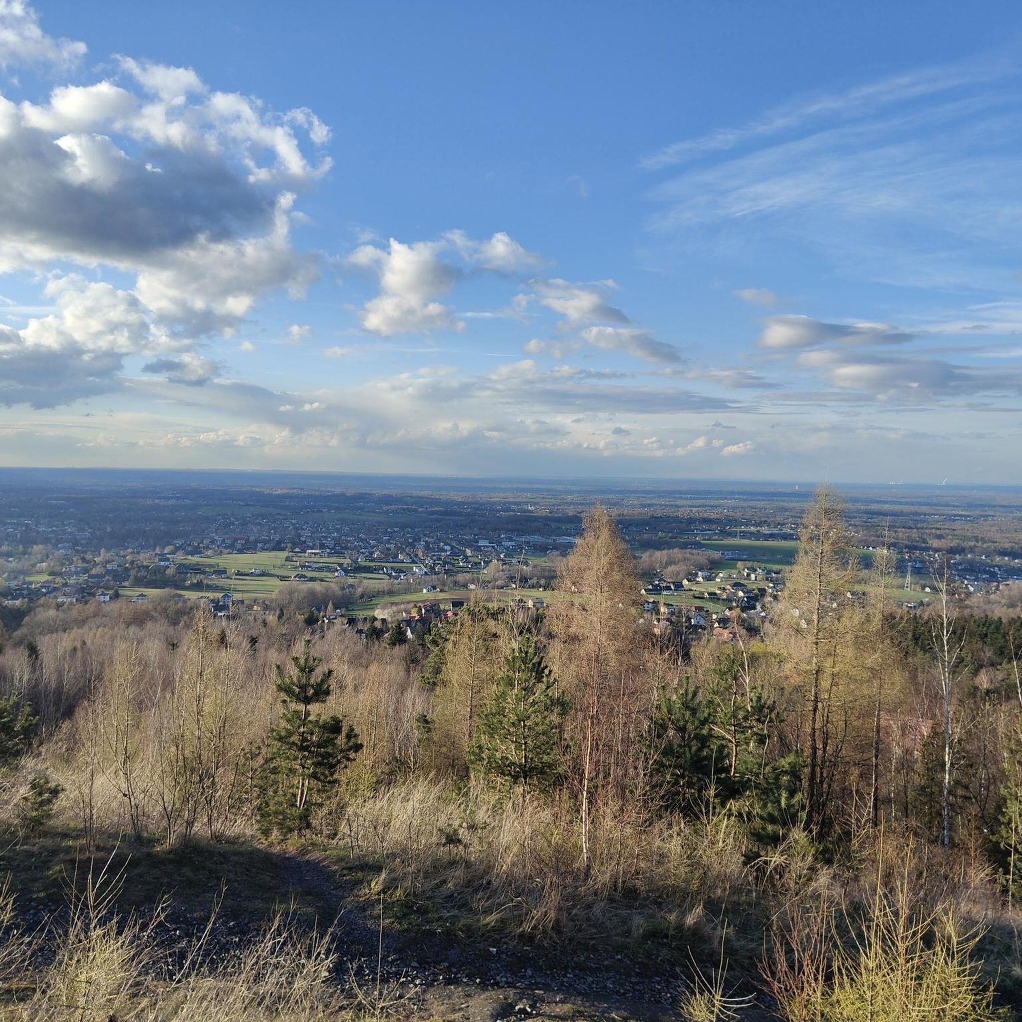
Mountaineering routes around Park Krajobrazowy Beskidu Małego traverse a landscape characterized by accessible yet diverse terrain, featuring rolling hills, dense forests, and serene meadows. The region is situated on the border of the Silesian and Lesser Poland Voivodeships, offering numerous trails and picturesque natural features. Notable peaks include Czupel (933 m), Leskowiec (992 m), and Hrobacza Łąka (828 m), providing varied elevation gains. The Soła River Gorge divides the park, contributing to its varied topography.
Best mountaineering routes around Park…
Last updated: July 14, 2026
4.6
(8)
31
hikers
12.5km
04:19
650m
650m
Moderate mountaineering route. Good fitness required. Easily-accessible paths. Suitable for all skill levels.
4.3
(3)
21
hikers
Hard mountaineering route. Very good fitness required. Easily-accessible paths. Suitable for all skill levels.

Sign up for free
4.9
(7)
23
hikers
4.56km
01:34
250m
250m
Easy mountaineering route. Great for any fitness level. Easily-accessible paths. Suitable for all skill levels.
5.0
(2)
13
hikers
12.4km
04:14
640m
640m
Moderate mountaineering route. Good fitness required. Easily-accessible paths. Suitable for all skill levels.
5.0
(4)
19
hikers
14.7km
04:53
640m
650m
Moderate mountaineering route. Good fitness required. Easily-accessible paths. Suitable for all skill levels.
Get access to more routes and recommendations from other explorers.
Sign up for free
Already have an account?
Our route recommendations are based on thousands of hikes, rides, and runs completed by other people on komoot.
Start today with a free account
Your next adventure awaits.
Login or Signup
Popular around Park Krajobrazowy Beskidu Małego
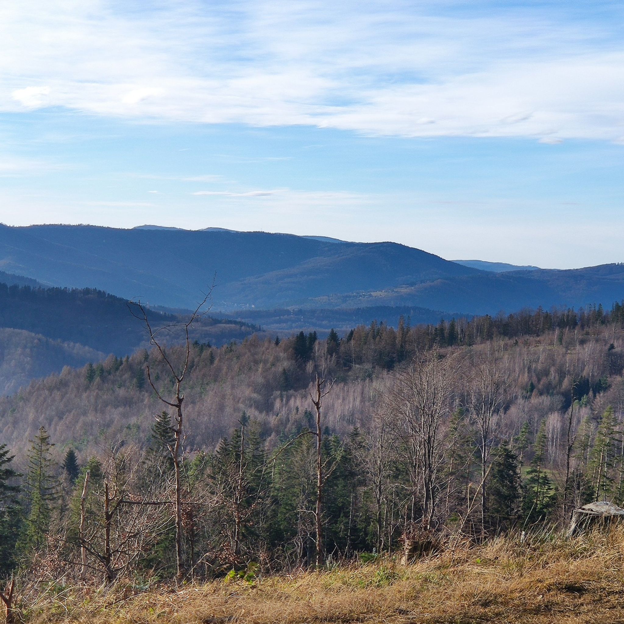
Hiking around Park Krajobrazowy Beskidu Małego
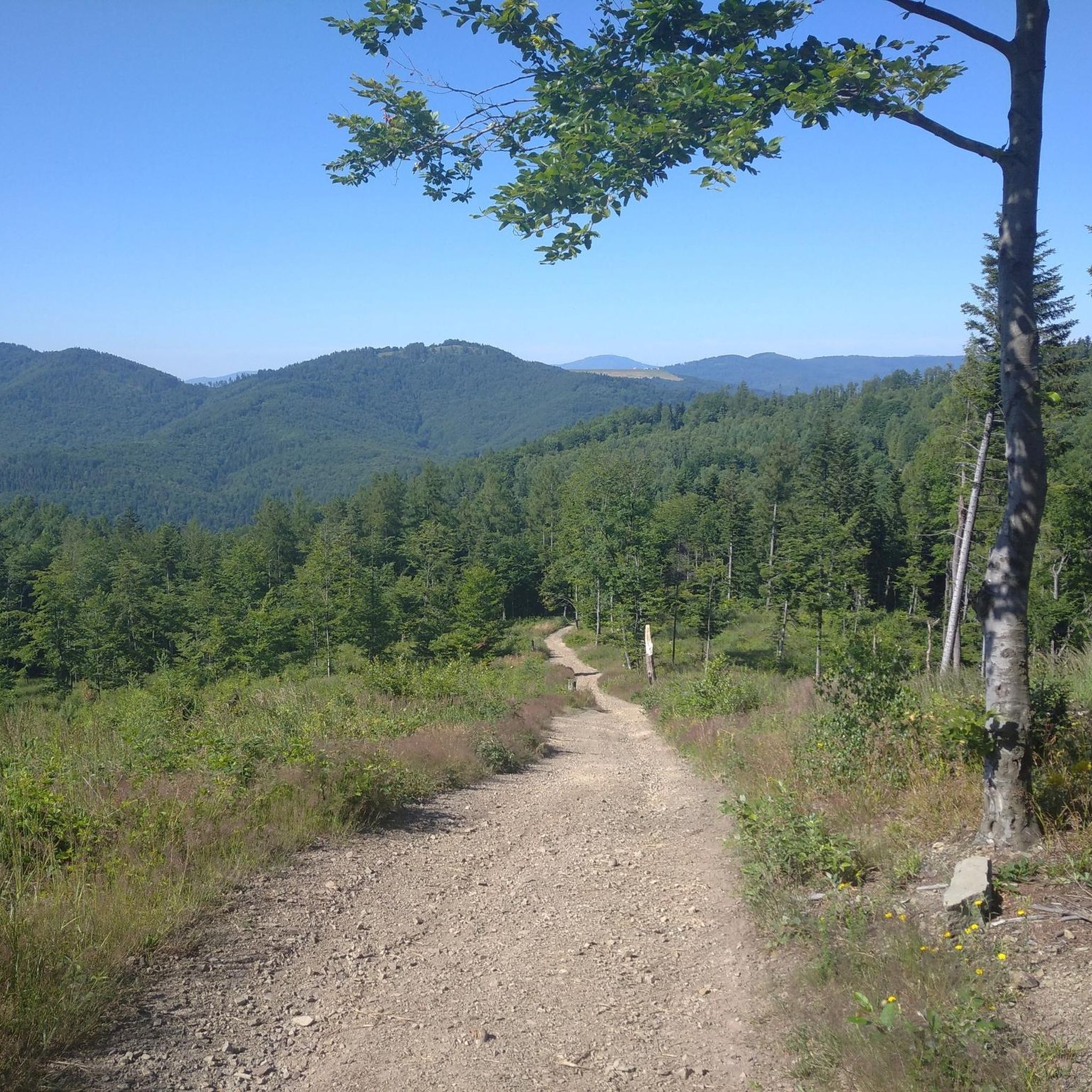
Running Trails around Park Krajobrazowy Beskidu Małego
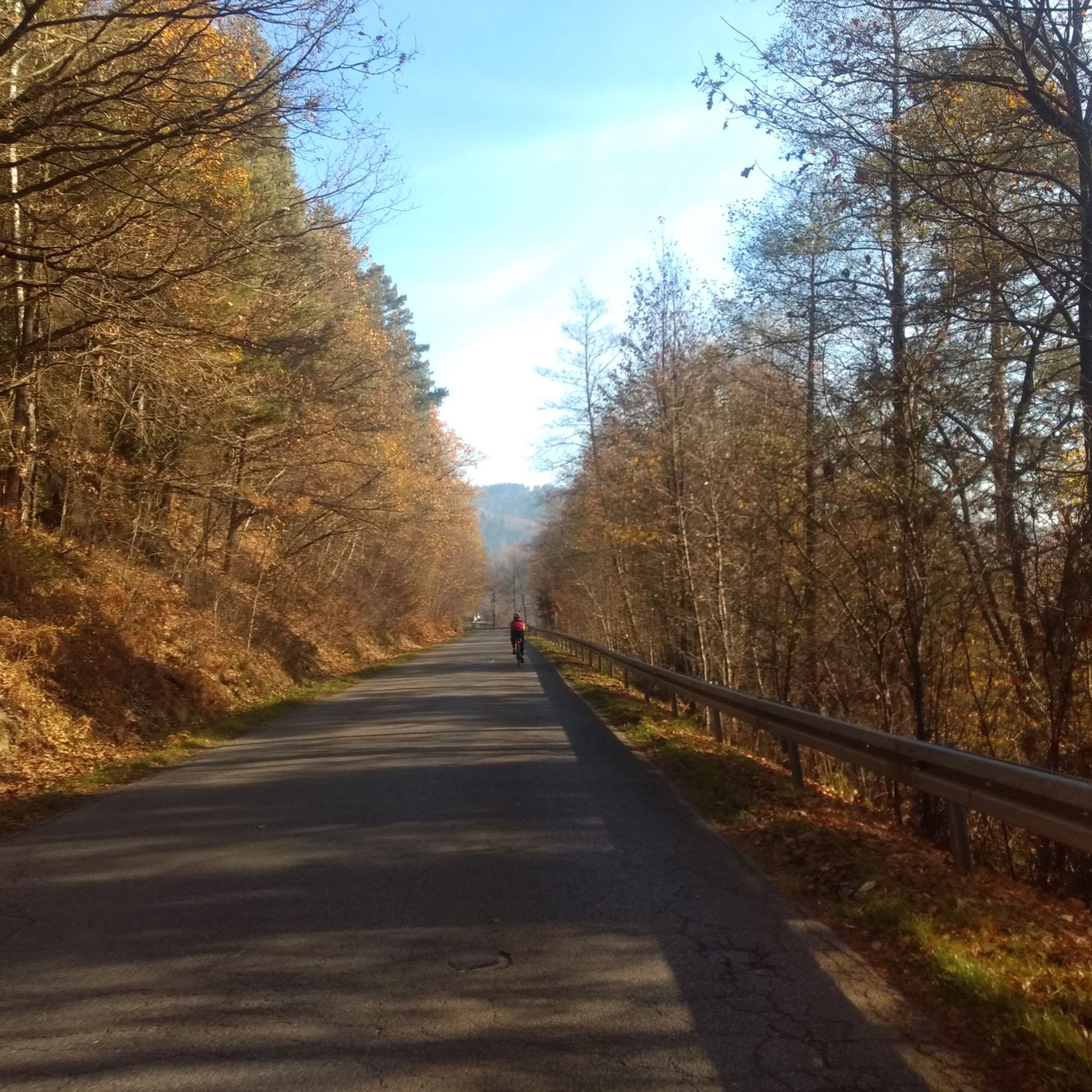
Road Cycling Routes around Park Krajobrazowy Beskidu Małego
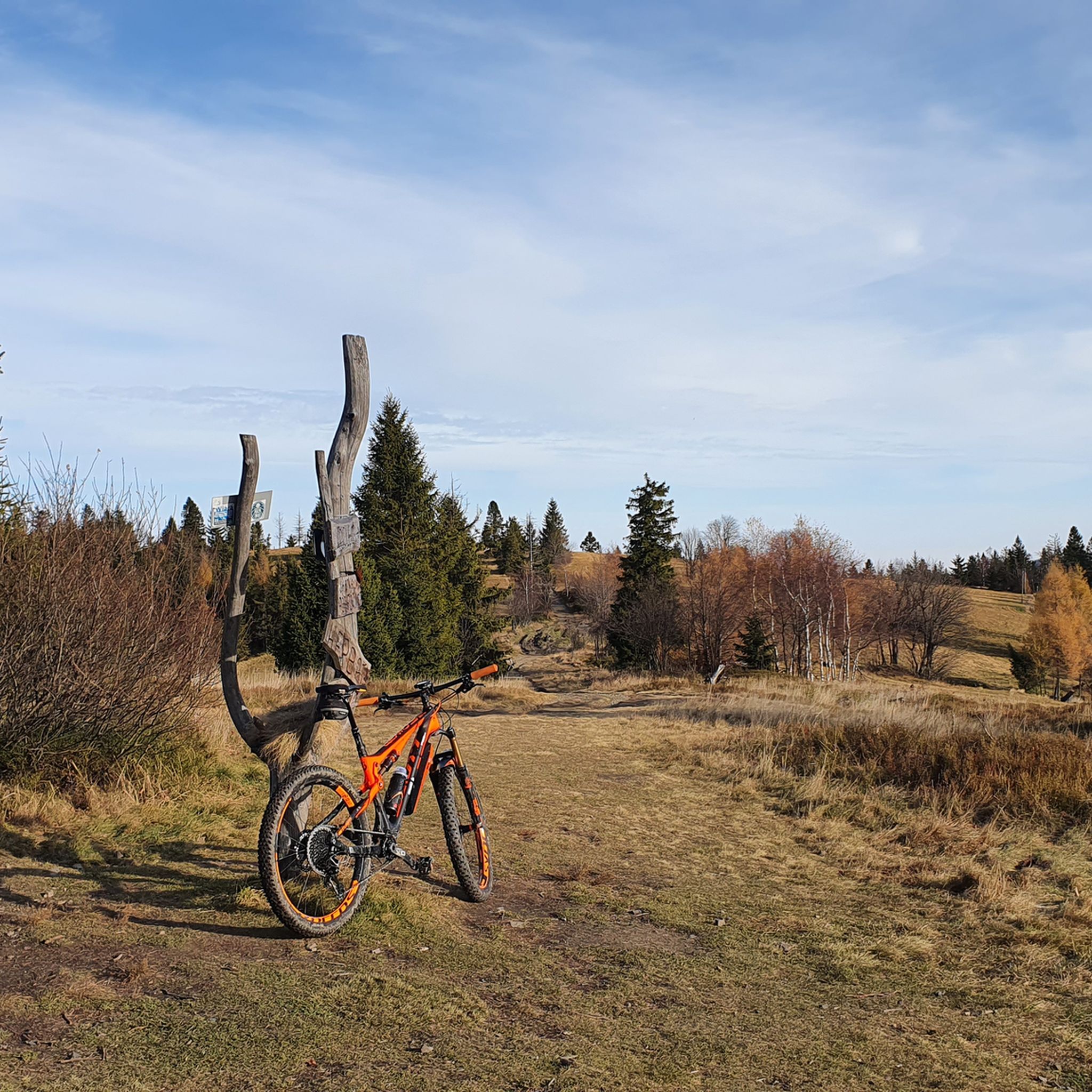
MTB Trails around Park Krajobrazowy Beskidu Małego
Cycling around Park Krajobrazowy Beskidu Małego

Gravel biking around Park Krajobrazowy Beskidu Małego
Tips from the Community

Mandatory place to rest and replenish drinks. You can get hot meals and cold drinks.
0
0


the views from Magurka are breathtaking
0
0

the path is trodden, you will find it easily
0
0

There are no signs on the trail! It can be found most easily using navigation (offline).
0
0

This view will blow you away - not far from Rogacz Mountain, here from this path there is a brilliant view of Lake Międzybrodzkie below through the green hills. You can also see, of course, Międzybrodzie Białe and the surrounding towns below, and the panorama of the hills and mountains is fantastic.
0
0
Beautiful view from the glade, just after leaving Turystyczna Street in Czernichów. Beautiful green mountain views, before - presumably - you start climbing Czupel.
0
0
It is the highest peak of the Beskid Mały, at 931m. Although the entire Czupel ridge is covered with forest, there will be views, especially of Góra Żar, with the power plant building at the top, but not from the very top, only a few dozen meters from it.
0
0
Frequently Asked Questions
What kind of mountaineering routes can I expect in Park Krajobrazowy Beskidu Małego?
Park Krajobrazowy Beskidu Małego offers a diverse range of mountaineering routes, from moderate ascents to more challenging climbs. The terrain features rolling hills, dense forests, and distinct peaks like Czupel (933 m), Leskowiec (992 m), and Hrobacza Łąka (828 m). You'll find a mix of well-marked trails, including options that traverse river valleys and offer panoramic views.
Are there any easy mountaineering routes suitable for beginners?
Yes, the park has routes suitable for those new to mountaineering. While many are moderate, there are at least two easy routes available. These typically involve less elevation gain and shorter distances, providing a good introduction to the region's beautiful landscapes.
What are some notable landmarks or natural features to see while mountaineering in the park?
The park is rich in natural and man-made landmarks. You can visit the distinctive metal cross on Cross on Chrobacza Łąka, enjoy views of Lake Międzybrodzkie, or see the Porąbka Dam. The highest point, Czupel Peak (933 m), is also a significant highlight.
Are there any circular mountaineering routes available?
Yes, many routes in Park Krajobrazowy Beskidu Małego are designed as loops, allowing you to start and end at the same point. For example, the Przełęcz U Panienki loop from gmina Kozy is a moderate 6.7 km trail, and the Czupel (933 m) – Czupel Peak (933 m) loop from Park Krajobrazowy Beskidu Małego offers a more challenging 16.9 km experience.
What do other mountaineers say about the routes in Park Krajobrazowy Beskidu Małego?
The mountaineering routes in Park Krajobrazowy Beskidu Małego are highly regarded by the komoot community, with an average rating of 4.6 stars from nearly 100 reviews. Mountaineers often praise the varied terrain, well-marked paths, and the tranquility of the less crowded mountain ranges.
Can I find routes that lead to mountain huts or shelters?
Yes, the region features several mountain huts and shelters at strategic locations. Peaks like Leskowiec, Hrobacza Łąka, and Magurka Wilkowicka host tourist shelters, providing convenient spots to rest, eat, or even stay overnight during your mountaineering adventures.
Are there any routes that offer panoramic views?
Absolutely. Peaks like Hrobacza Łąka are famous for their panoramic vistas, offering views of Bielsko-Biała, Lake Międzybrodzkie, and the Silesian Beskids. Other viewpoints, such as Potrójna, also provide scenic meadows and expansive outlooks.
What is the best time of year for mountaineering in Park Krajobrazowy Beskidu Małego?
The easily accessible forested hills provide shaded paths, making them ideal for mountaineering during warmer months. However, the park offers a fulfilling experience throughout the year, with each season bringing its own unique beauty. Always check local weather conditions before heading out.
Are there any routes that pass through nature reserves?
Yes, the park is a Natura 2000 area and includes nature reserves such as Madohora, Szeroka, and Zasolnica. Some trails, like the moderate Lipnik - Przełęcz Cisowa Trail (9.6 km), specifically pass through areas like the Szeroka Nature Reserve, allowing you to experience the rich biodiversity.
How many mountaineering routes are available in Park Krajobrazowy Beskidu Małego?
There are over a dozen dedicated mountaineering routes in Park Krajobrazowy Beskidu Małego, offering a variety of distances and difficulty levels to suit different preferences and fitness levels.
Are there any routes that are particularly challenging?
For those seeking a challenge, routes like the Czupel (933 m) – Czupel Peak (933 m) loop from Park Krajobrazowy Beskidu Małego are classified as difficult. This 16.9 km trail involves significant elevation gain, ascending to the highest point in the park and requiring good fitness and sturdy shoes.
Can I find routes that explore the Soła River Gorge?
Yes, the Soła River Gorge is a prominent feature that divides the park, and routes in the area will allow you to experience its varied topography. The Soła Cascade, a system of dam reservoirs along the river, is also a notable point of interest.
Most popular routes around Park Krajobrazowy Beskidu Małego
Most popular attractions around Park Krajobrazowy Beskidu Małego

Get inspired with the komoot mobile app


Explore more
Browse the best Mountain Hikes & Routes in other regions.
