The best cycling routes around Guntín
4.8
(97)
720
riders
34
rides
Touring cycling around Guntín offers routes through a rural setting in the province of Lugo, Galicia, Spain. The region features an Atlantic climate with rolling hills, cultivated areas, and woodlands, situated within the "Terras do Miño" biosphere reserve. The landscape is characterized by the Miño River and its tributaries, providing varied terrain for cyclists. Altitudes generally range from 540 to 580 meters above sea level, contributing to the area's diverse topography.
Best touring cycling routes around Guntín
- The most popular…
Last updated: October 17, 2026
1
riders
53.5km
03:43
960m
960m
Cycle the challenging 33.2-mile Portomarin - return via Sarria route, featuring mixed terrain, rolling Galician hills, and historic Camino c
4.0
(1)
35
riders
59.9km
04:22
1,150m
1,150m
Hard bike ride. Very good fitness required. Mostly paved surfaces. Suitable for all skill levels.

5.0
(1)
38
riders
31.5km
02:16
500m
500m
Hard bike ride. Very good fitness required. Mostly paved surfaces. Suitable for all skill levels.
5.0
(1)
13
riders
26.4km
01:51
430m
430m
Moderate bike ride. Good fitness required. Mostly paved surfaces. Suitable for all skill levels.
5.0
(1)
17
riders
Moderate bike ride. Good fitness required. Mostly paved surfaces. Suitable for all skill levels.
Get access to more routes and recommendations from other explorers.
Already have an account?
Our route recommendations are based on thousands of hikes, rides, and runs completed by other people on komoot.
Start today with a free account
Your next adventure awaits.
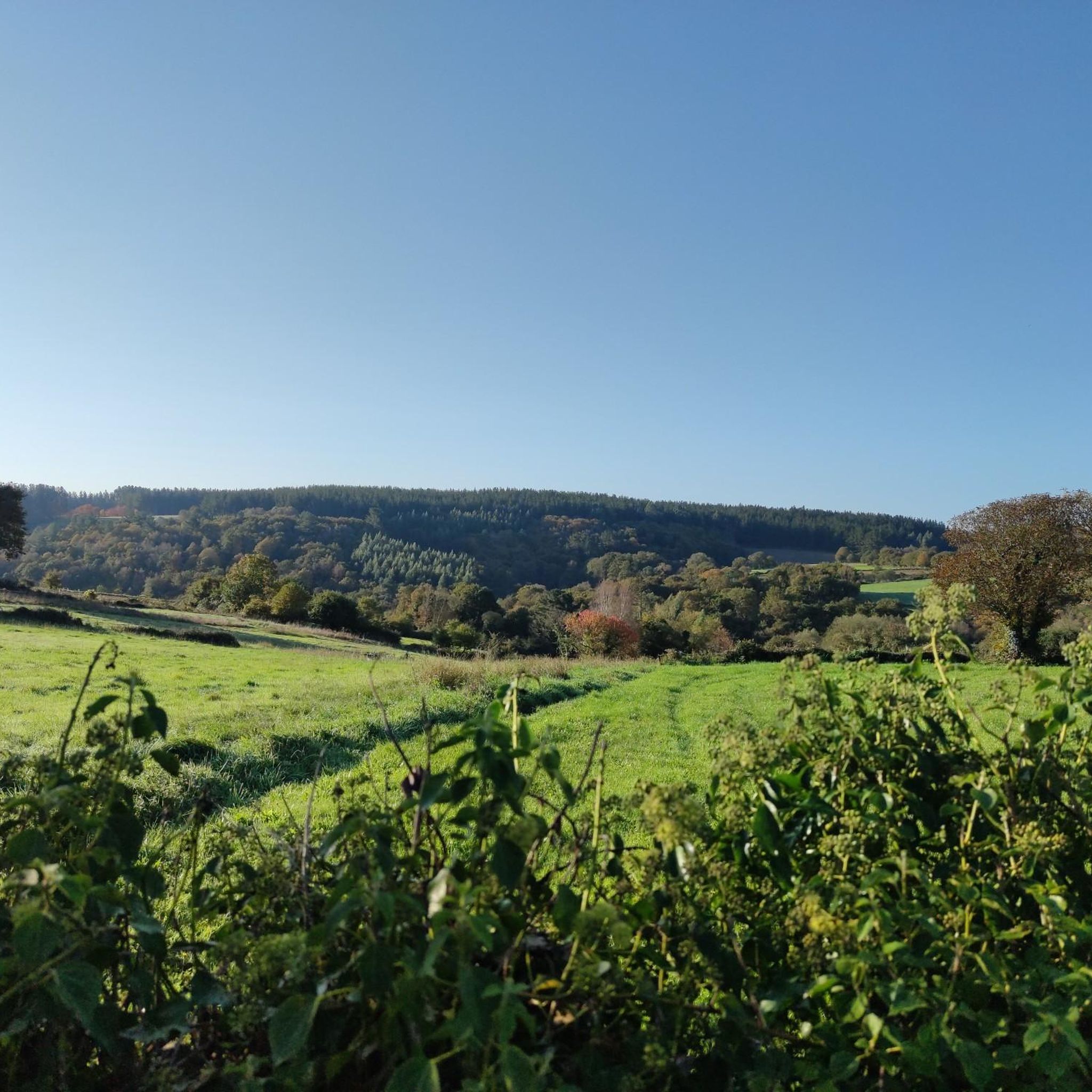
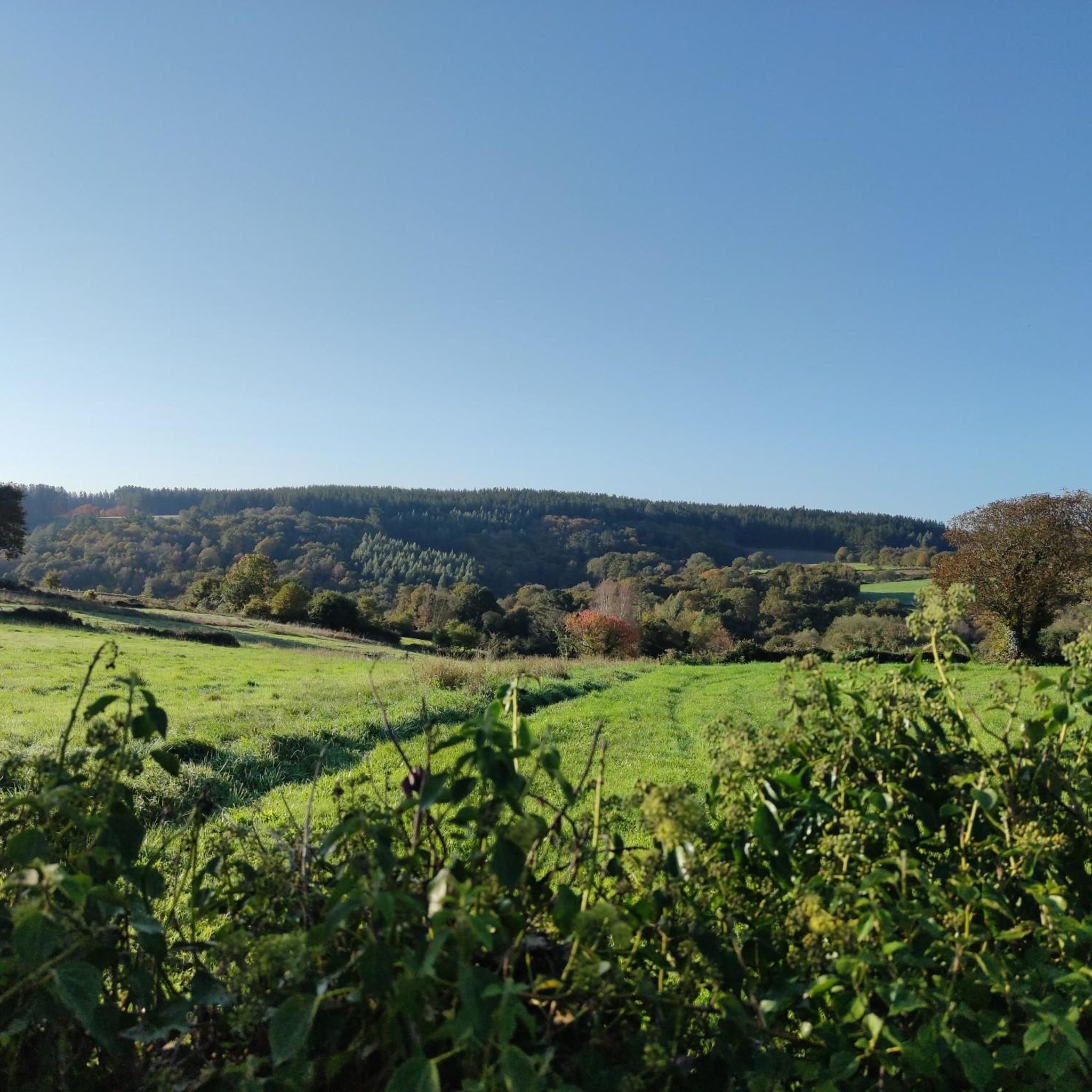
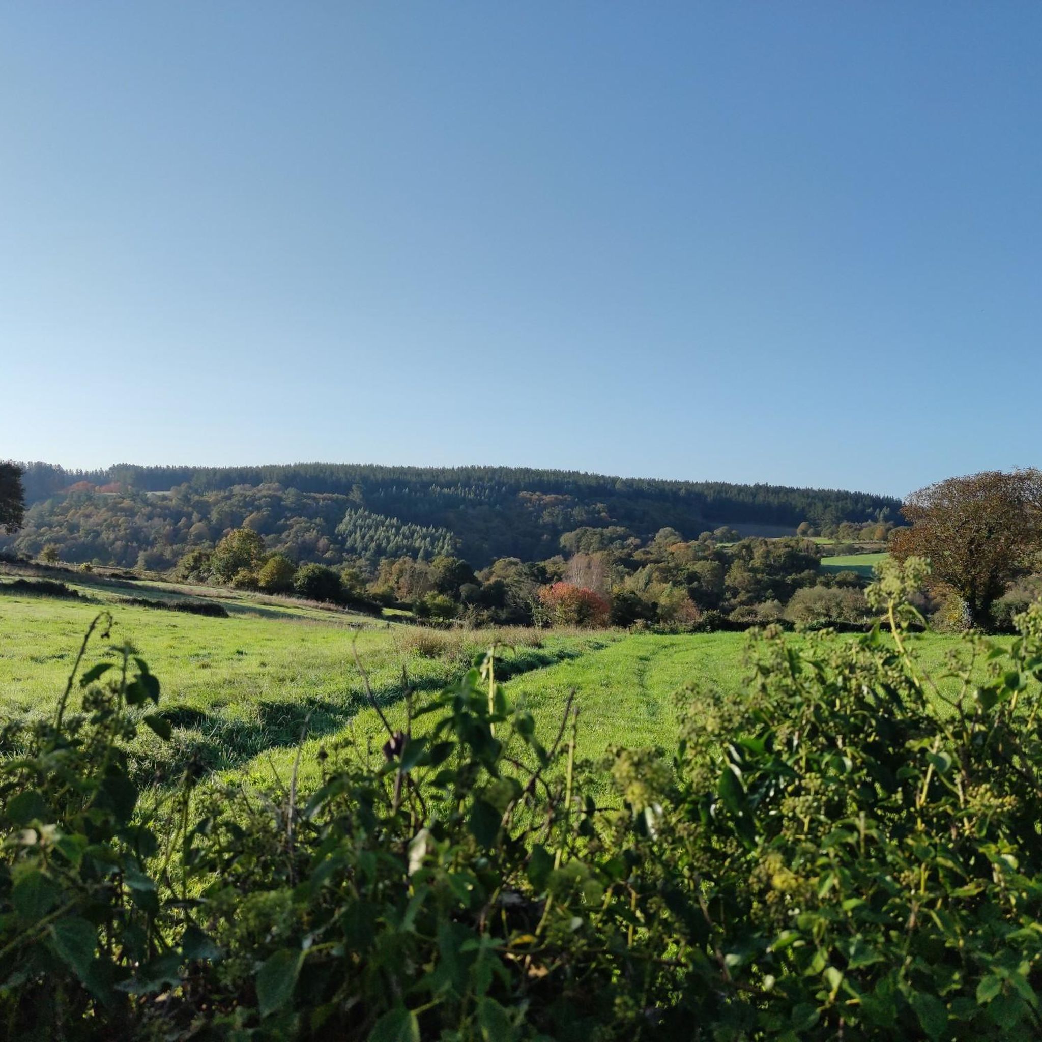
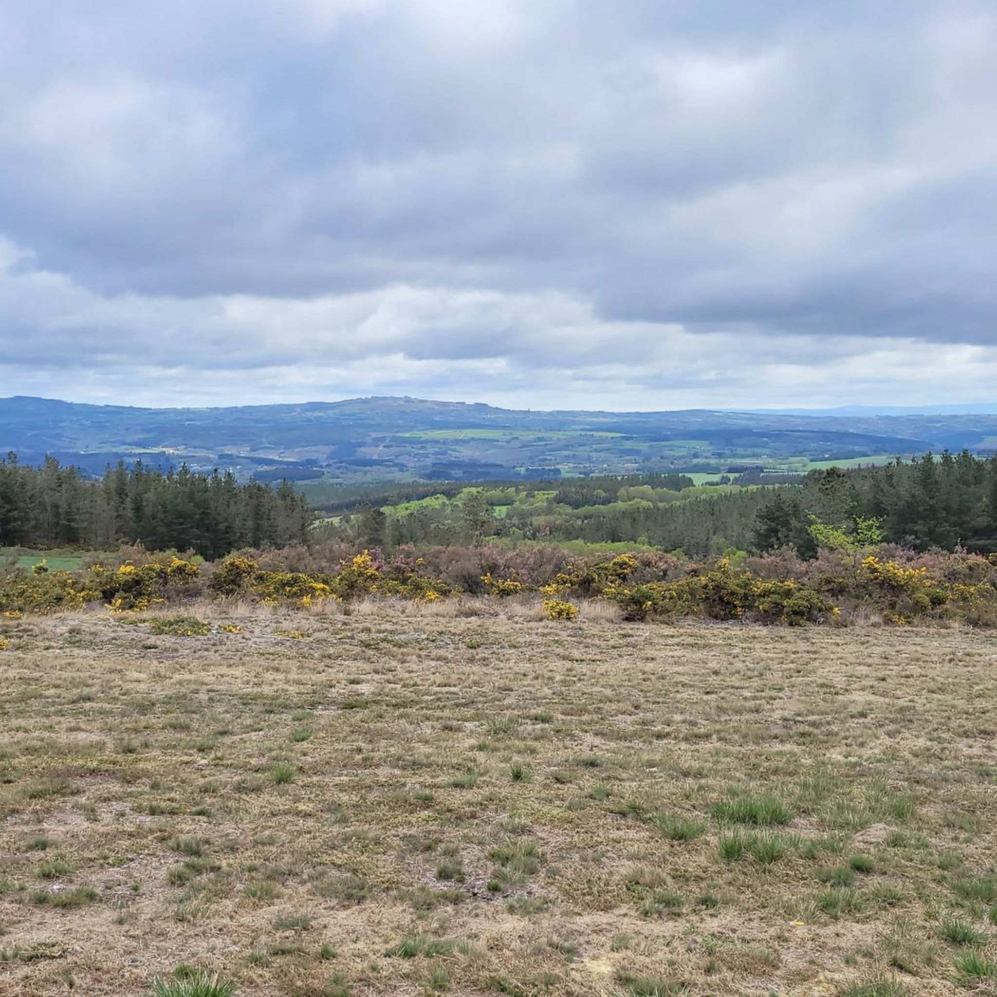

Tips from the Community

These sculpture posters have become fashionable
0
0


It is a fortress-church dedicated to St. Nicholas
4
0

Portomarín, in the province of Lugo, is an emblematic stop on the French Way of St. James. However, its history is even more fascinating. The original Portomarín was buried by the waters of the Miño River in 1963 due to the construction of the Belesar reservoir in Chantada. The residents had to choose between money or a house in the new town. Although the old town was declared a Historic-Artistic Site in 1946 and its San Juan church a National Monument in 1931, the arrival of General Franco and the president of Fenosa, Pedro Barrié de la Maza, sealed its fate in favor of the electrical business. I hope you enjoy exploring this place full of history and beauty! 😊
7
0

Frequently Asked Questions
How many touring cycling routes are available around Guntín?
There are over 20 touring cycling routes around Guntín, offering a variety of experiences through the region's rural landscapes. These routes are highly rated by the komoot community, with an average score of 4.8 stars from more than 70 reviews.
What is the best time of year for touring cycling in Guntín?
Guntín experiences an Atlantic climate with warm summers, making it ideal for touring cycling. While winters are cold, they rarely freeze, but humidity, rain, and frequent fog can occur in valleys. For the most comfortable experience, late spring to early autumn is generally recommended.
Are there any easy touring cycling routes suitable for beginners in Guntín?
While many routes in Guntín are rated as difficult due to rolling hills and elevation changes, there is at least one easy touring cycling route available. For those seeking a less strenuous ride, it's advisable to check the route details on komoot for specific difficulty ratings and elevation profiles.
What kind of terrain can I expect on touring cycling routes in Guntín?
Touring cycling routes in Guntín are characterized by rolling hills, cultivated areas, and woodlands. The region is part of the 'Terras do Miño' biosphere reserve, featuring diverse landscapes including flatlands, mountain wetlands, and extensive forests. Altitudes generally range from 540 to 580 meters above sea level, contributing to varied topography.
Are there any circular touring cycling routes in Guntín?
Yes, many touring cycling routes in Guntín are designed as loops. For example, the Portomarín and Sarria Loop is a popular 33.2-mile (53.5 km) circular route connecting two significant towns along the Camino de Santiago. Another option is the Portomarín – Hórreo loop from A Casa da Brea, which offers a longer, more challenging circular ride.
What historical or natural landmarks can I see along the touring cycling routes?
Guntín's routes often pass significant historical and natural landmarks. You can encounter the historic Portomarín Bridge, the 100 km Marker on the Camino de Santiago, and the Church of St John of Portomarín. Natural features include sections of the Miño River and areas like the Misty Forest With Ivy-Covered Willows.
Are there routes that follow the Camino de Santiago?
Yes, Guntín is situated along the historic Camino de Santiago, and several touring cycling routes incorporate sections of this famous pilgrimage path. The Camino de Santiago Hollow Way – Hórreo loop from O Mesón is a great example, leading through historic Camino sections and rural scenery.
What are some challenging touring cycling routes in the area?
For experienced touring cyclists seeking a challenge, Guntín offers several difficult routes with significant elevation gain. The Hórreo – Bridge over the Río Seco loop from A Vacaloura (Sentido Lugo) is a demanding 80.8 km route with over 1400 meters of elevation gain. Another difficult option is the Camino de Santiago Hollow Way – Bridge over the Río Seco loop from Vilar de Donas, covering 48 km with over 850 meters of ascent.
Can I find places to eat or stay near the cycling routes in Guntín?
Guntín and its surrounding rural parishes, being part of a region with a strong agricultural and pastoral character, offer opportunities to find local cafes, pubs, and accommodation. While specific establishments are not listed here, the presence of towns like Portomarín and Sarria along popular routes suggests amenities for cyclists.
What makes touring cycling in Guntín unique?
Touring cycling in Guntín is unique due to its blend of diverse natural landscapes within the 'Terras do Miño' biosphere reserve, its historical significance along the Camino de Santiago, and the picturesque rural setting. Cyclists can enjoy rolling hills, cultivated fields, woodlands, and historic infrastructure like ancient bridges, all contributing to a rich cultural and natural experience.
Are there any viewpoints or scenic spots along the routes?
The region's diverse topography, including Monte de Meda (Picato) and the Miño River valley, offers numerous scenic spots. Routes often wind through areas with views of traditional hórreos and the Miño River. The rural setting with its rolling hills and woodlands provides many picturesque vistas for cyclists to enjoy.
What is the average rating for touring cycling routes in Guntín?
The touring cycling routes in Guntín are highly regarded by the komoot community, boasting an impressive average rating of 4.8 stars. This high score reflects the quality and enjoyment experienced by over 500 touring cyclists who have explored the area using komoot.
Most popular attractions around Guntín

Get inspired with the komoot mobile app


Explore more
Browse the best Cycling routes in other regions.
