The best walks and hikes around Lardero
4.5
(320)
2,097
hikers
18
hikes
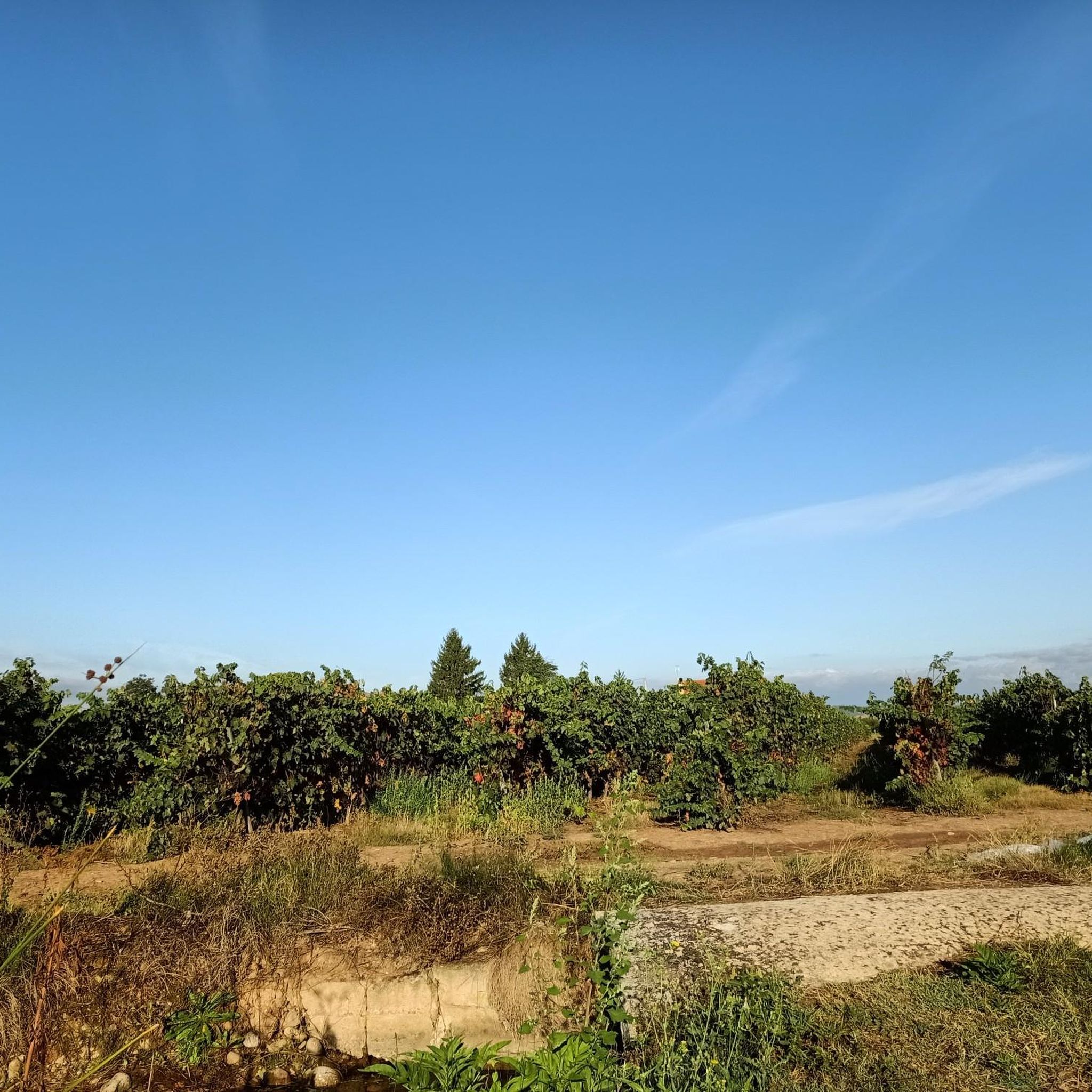
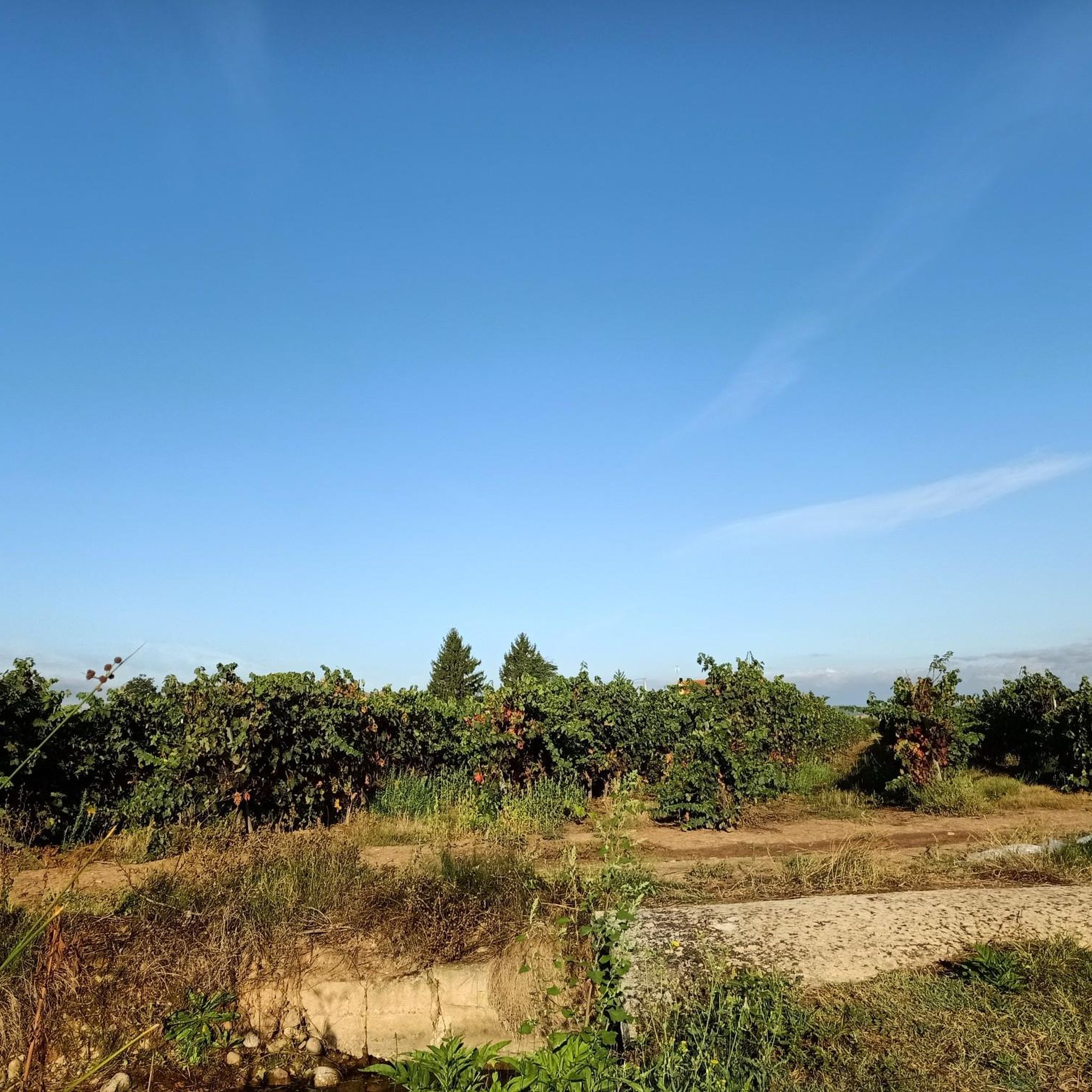
Hiking around Lardero offers a variety of trails through the landscape of La Rioja. The region features gentle hills, river valleys, and agricultural areas, including vineyards. Hikers can explore local parks, historical sites like hermitages, and enjoy views from elevated points such as Pico del Águila. The terrain provides accessible paths suitable for different levels of hiking experience.
Best hiking trails around Lardero
- The most popular hiking route is La Grajera Park Loop, a 6.1 miles (9.8 km) trail…
Last updated: October 10, 2026
7.90km
02:16
190m
190m
Hike the moderate 4.9-mile Pico del Águila and Coronilla Loop for panoramic views of Mexico City and volcanoes.
4.2
(5)
16
hikers
7.75km
02:38
240m
240m
Moderate hike. Good fitness required. Mostly accessible paths. Sure-footedness required.

10
hikers
11.8km
03:08
130m
130m
Moderate hike. Good fitness required. Easily-accessible paths. Suitable for all skill levels.
5.0
(1)
8
hikers
12.5km
03:47
270m
270m
Moderate hike. Good fitness required. Mostly accessible paths. Sure-footedness required.
5.0
(2)
5
hikers
6.93km
01:47
20m
20m
Easy hike. Great for any fitness level. Easily-accessible paths. Suitable for all skill levels.
Get access to more routes and recommendations from other explorers.
Already have an account?
Our route recommendations are based on thousands of hikes, rides, and runs completed by other people on komoot.
Start today with a free account
Your next adventure awaits.

Tips from the Community

Access is not without risks and is not at all clear.
2
0
A small but tough peak, a challenge to climb without slipping.
2
0

As you walk counterclockwise around the Campana Depression, you will find yourself surrounded by native oaks and pines. The conical peak of Cuatro Cantos at 612 meters above sea level, gives you incredible views of the Ebro and the surrounding peaks.
1
0
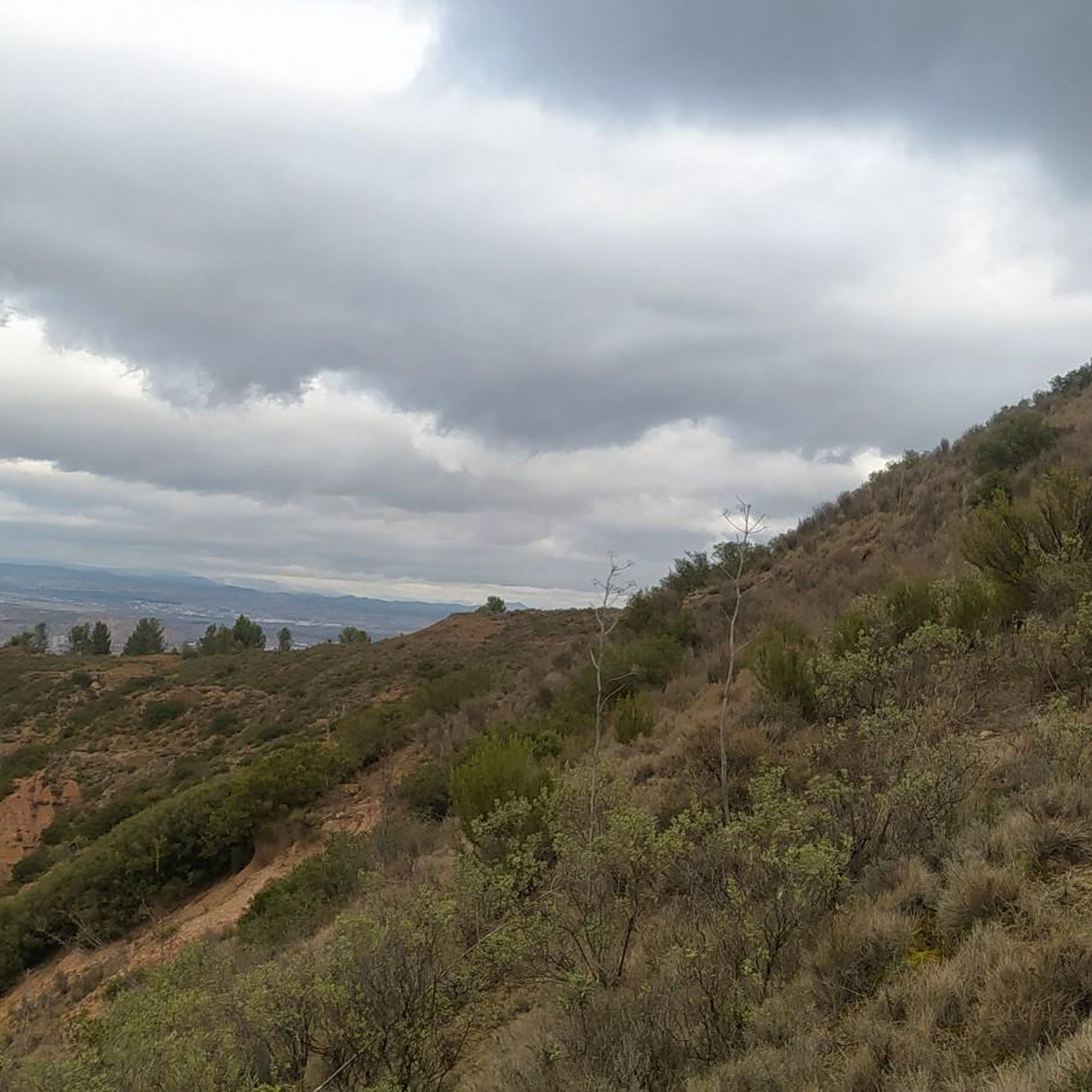
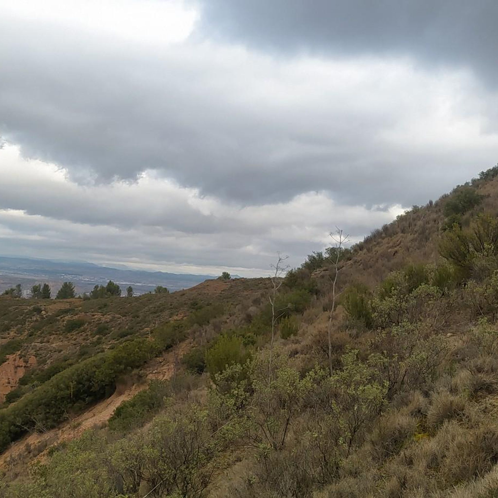
Leaving the golf course, you begin to climb the mountains of La Sala, west of the town of Logroño. The views over the Iregua depression and the Ebro river are spectacular.
1
0
Just below the summit of Eagle Peak in the Sala Mountains you can find these incredible caves, curved by water and time in the clay rock. The caves are called "the Hall of the Moors".
1
0
Walk to Pico de la Sala at 668 meters above sea level and you will enjoy incredible views of the Montes de Logroño and the valleys below.
0
0

to climb it out there I recommend taking a stick.
1
0
Frequently Asked Questions
How many hiking trails are available around Lardero?
Lardero offers a wide selection of hiking routes, with over 200 trails recorded on komoot. These range from easy strolls to more challenging ascents, ensuring options for various fitness levels.
Are there easy hiking trails suitable for beginners in Lardero?
Yes, Lardero has numerous easy trails perfect for beginners or those seeking a relaxed walk. Approximately 74 routes are classified as easy. A good example is the Ermita de la Antigua and Río Iregua Loop, which is 4.1 miles (6.5 km) long and leads through river valleys.
Are there family-friendly hiking options around Lardero?
Many trails around Lardero are suitable for families, especially those in local parks or along river paths. The La Grajera Park Loop is a popular choice, offering accessible paths in a scenic park area, ideal for a family outing.
Can I find circular hiking routes in Lardero?
Yes, circular routes are a common feature of hiking around Lardero. Many trails are designed as loops, allowing you to start and end at the same point. Examples include the Pico del Águila and Monte de la Pila Loop and the Pico del Águila and Coronilla Loop.
What kind of terrain can I expect on hikes around Lardero?
The terrain around Lardero is varied, featuring gentle hills, river valleys, and agricultural areas, including vineyards. You'll find accessible paths in local parks and more ascents when heading towards elevated points like Pico del Águila, offering panoramic views.
What are some interesting landmarks or natural attractions to see while hiking?
While hiking around Lardero, you can encounter various points of interest. The Ermita de la Antigua and Río Iregua Loop passes historical landmarks. You might also explore natural features like the La Grajera Reservoir or the unique Los Peñuejos Rock Formations.
What do other hikers say about the trails in Lardero?
The hiking trails in Lardero are highly regarded by the komoot community, holding an average rating of 4.4 stars from over 300 reviews. Hikers often praise the varied terrain, accessible paths, and the scenic views from elevated points.
Are there any trails that offer good views?
Yes, several trails provide excellent panoramic views of the surrounding area. Routes that include climbs to local hills, such as the Pico del Águila and Monte de la Pila Loop, are known for their scenic vistas.
How long do hikes around Lardero typically take?
Hikes around Lardero vary in length and duration. Shorter, easy trails like the Ermita de la Antigua and Río Iregua Loop can be completed in under 2 hours, while longer moderate routes, such as the View of Navarrete – La Grajera Reservoir loop, might take around 4.5 hours.
Is Lardero a good destination for winter hiking?
While La Rioja generally experiences mild winters, conditions can vary. Lower elevation trails and those in local parks are often accessible. For higher ground, check local weather forecasts for snow or ice, and ensure you have appropriate gear.
Can I combine hiking with other outdoor activities in the Lardero area?
Absolutely. The region around Lardero offers opportunities for other outdoor activities. For example, you can explore nearby bike parks like Ecopark Singletracks or visit the La Grajera Reservoir, which is also popular for other recreational activities.
Most popular attractions around Lardero

Get inspired with the komoot mobile app


Explore more
Browse the best Hikes in other regions.
