The best road cycling routes around Sant Esteve De La Sarga
4.6
(16)
1,163
riders
21
rides
Road cycling routes around Sant Esteve De La Sarga traverse the Lleida Pre-Pyrenees, offering diverse terrain within the Montsec mountain range. The region is characterized by limestone relief, significant elevation changes, and tranquil rural roads. Cyclists encounter dramatic landscapes, including approaches to the Mont-rebei Gorge, providing both scenic beauty and physical challenge.
Best road cycling routes around Sant Esteve De La Sarga
- The most popular road cycling route is View of Pantà de Terradets – Port d'Àger loop from Cellers…
Last updated: July 12, 2026
5.0
(3)
278
riders
85.3km
04:31
1,570m
1,570m
Hard road ride. Very good fitness required. Some segments of this route may be unpaved and difficult to ride.
4.0
(1)
44
riders
69.7km
03:53
1,420m
1,420m
Hard road ride. Very good fitness required. Mostly well-paved surfaces and easy to ride.

Sign up for free
26
riders
Hard road ride. Very good fitness required. Some segments of this route may be unpaved and difficult to ride.
5.0
(1)
28
riders
61.5km
03:28
1,370m
1,370m
Hard road ride. Very good fitness required. Some segments of this route may be unpaved and difficult to ride.
18
riders
99.0km
05:54
2,200m
2,200m
Hard road ride. Very good fitness required. Mostly well-paved surfaces and easy to ride.
Get access to more routes and recommendations from other explorers.
Sign up for free
Already have an account?
Our route recommendations are based on thousands of hikes, rides, and runs completed by other people on komoot.
Start today with a free account
Your next adventure awaits.
Login or Signup
Popular around Sant Esteve De La Sarga

Other adventures around Sant Esteve De La Sarga

Tips from the Community

Easy hiking trail along the road. You walk directly past the cliffs and the lake. Very impressive
0
0

Good views with a viewpoint included
0
0

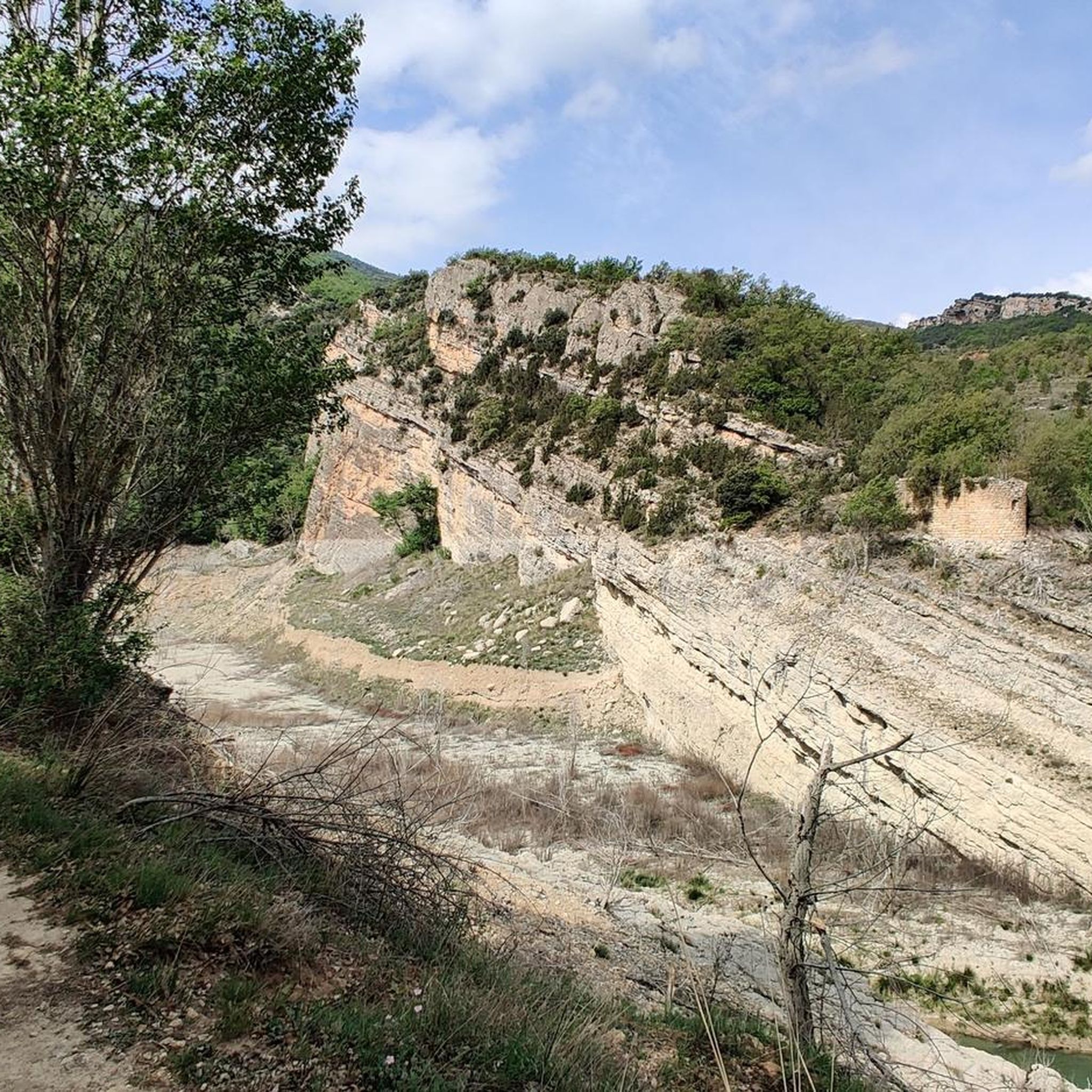
Important explanation of geology
0
0

This is an area with a beautiful natural landscape, ideal for relaxing and enjoying nature. It's also an idyllic spot for a multitude of leisure activities. Its cliffs make it an attractive spot for climbing enthusiasts. Along the road that runs alongside it, you'll find several picture-postcard views.
0
0

It is a port in the Montsec mountain range that allows access to the beautiful valley where the town of Àger is located, with imposing vertical mountains that give a lot of charm and spectacularity to the valley, especially in spring where the green of the trees, the red of poppies and the warm yellow of wheat. The port is very stinky on both sides since the road is very wide, normally with 3 lanes, and with long straights, which take away any type of cycling attraction. However, the views from the port, especially towards the Àger valley, are spectacular. I climbed it on the southern slope, the one that begins in Balaguer. From Balaguer it is almost 25 km, with continuous ups, downs and flat areas. The final uphill section is 5.5 km at 6 - 7%, with a rest section when crossing the town of Sant Josep de Fontdepou
0
0

Directly under the bridge there is a trail called “Z.Z. 2.0”.
0
0

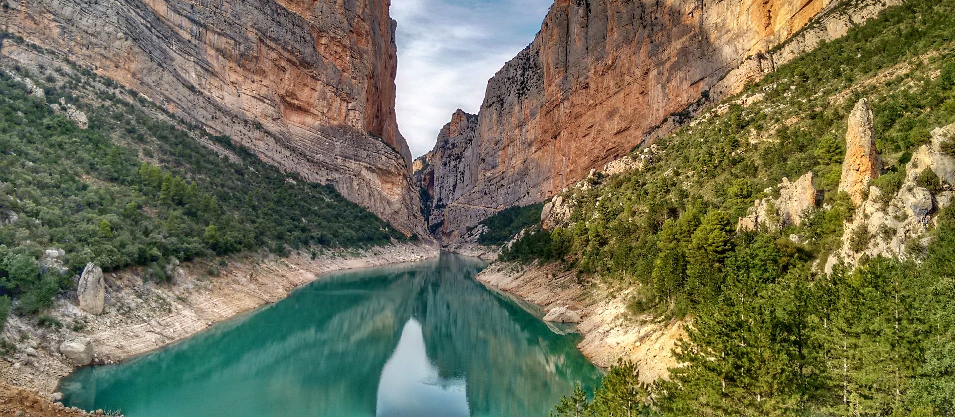
Reservoir with very nice views, very blue water. Ideal for resting on its benches, its lawn or to do some activity such as kayaking.
0
0
Frequently Asked Questions
How many road cycling routes are available in Sant Esteve De La Sarga?
There are over 20 road cycling routes around Sant Esteve De La Sarga, offering diverse terrain within the Lleida Pre-Pyrenees. The majority of these routes are classified as difficult, providing significant challenges for experienced cyclists.
What kind of terrain can I expect when road cycling in Sant Esteve De La Sarga?
The terrain in Sant Esteve De La La Sarga is characterized by the Montsec mountain range, featuring limestone relief and significant elevation changes. You can expect challenging climbs and exhilarating descents on generally tranquil rural roads, offering both physical challenge and stunning scenic beauty.
Are there any routes suitable for beginners or families?
The road cycling routes around Sant Esteve De La Sarga are predominantly difficult, with 20 out of 21 routes classified as such. There are no easy routes listed in the guide, indicating that the area is best suited for experienced road cyclists seeking challenging ascents and descents rather than family-friendly or beginner-level rides.
What are some notable landmarks or viewpoints I can see along the road cycling routes?
Road cycling routes in the area offer breathtaking views of natural wonders. You can approach the spectacular Mont-rebei Gorge, a narrow pass with towering cliffs. Other highlights include the Montfalcó Walkways and the Chinese Wall of Finestres. Many routes also feature panoramic views of the Pantà de Terradets reservoir.
What do other road cyclists enjoy most about cycling in Sant Esteve De La Sarga?
The area is highly rated by the komoot community, with an average score of 4.7 stars from over 12 reviews. Cyclists often praise the challenging climbs, the quiet rural roads, and the incredibly scenic routes that traverse the Montsec mountain range and offer views of the Mont-rebei Gorge.
Are there any circular road cycling routes available?
Yes, several routes are designed as loops. For instance, the View of Pantà de Terradets – Port d'Àger loop from Cellers - Llimiana is a popular 53.3-mile (85.8 km) circular route. Another option is the Coll de Montllobar (1080 m) – Puente de Montañana loop from Puente de Montañana / Pont de Montanyana, which covers 43.3 miles (69.7 km) and includes a substantial climb.
What is the best time of year for road cycling in the Montsec region?
While specific weather patterns are not detailed, the Montsec region, being part of the Pre-Pyrenees, generally offers pleasant conditions for cycling during spring and autumn. Summers can be hot, and winters may bring colder temperatures and snow at higher elevations, making these shoulder seasons ideal for enjoying the challenging terrain and scenic routes.
What are the road conditions like for cycling in Sant Esteve De La Sarga?
The rural roads in this less populated area of the Lleida Pre-Pyrenees generally have low traffic volumes, providing a safer and more enjoyable cycling experience. Spanish drivers are also noted for being cautious and giving ample space to cyclists, contributing to good road conditions for cycling.
Is it possible to find accommodation or places to eat in Sant Esteve De La Sarga for cyclists?
Sant Esteve De La Sarga and its surrounding villages offer a rural charm. While specific cyclist-friendly establishments are not detailed, the presence of rustic villages suggests that basic amenities like cafes, pubs, and accommodation options would be available, catering to visitors exploring the region's natural beauty.
Can I bring my dog on the road cycling routes?
Road cycling routes, especially those with significant elevation changes and on paved roads, are generally not suitable for dogs. While the region is rich in natural beauty, it's best to consider specific hiking or walking trails if you wish to bring your dog, as road cycling can be strenuous and potentially unsafe for pets.
Where can I park my car when starting a road cycling route?
While specific parking locations are not detailed for each route, starting points for many routes are often in or near villages like Cellers - Llimiana or Puente de Montañana / Pont de Montanyana. These locations typically offer public parking options suitable for cyclists to leave their vehicles before embarking on their rides.
Are there any particularly challenging road cycling routes for experienced riders?
Absolutely. The region is known for its difficult routes. The Coll de Montllobar (1080 m) – Coll d'Ares loop from Àger is a demanding 61.4-mile (98.8 km) route with over 7,200 feet (2,194 m) of elevation gain, making it one of the most challenging options for experienced road cyclists.
Most popular routes around Sant Esteve De La Sarga
Most popular attractions around Sant Esteve De La Sarga

Get inspired with the komoot mobile app


Explore more
Browse the best Road cycling routes in other regions.
