The best road cycling routes around Griovių geomorfologinis draustinis
4.5
(160)
4,836
riders
86
rides
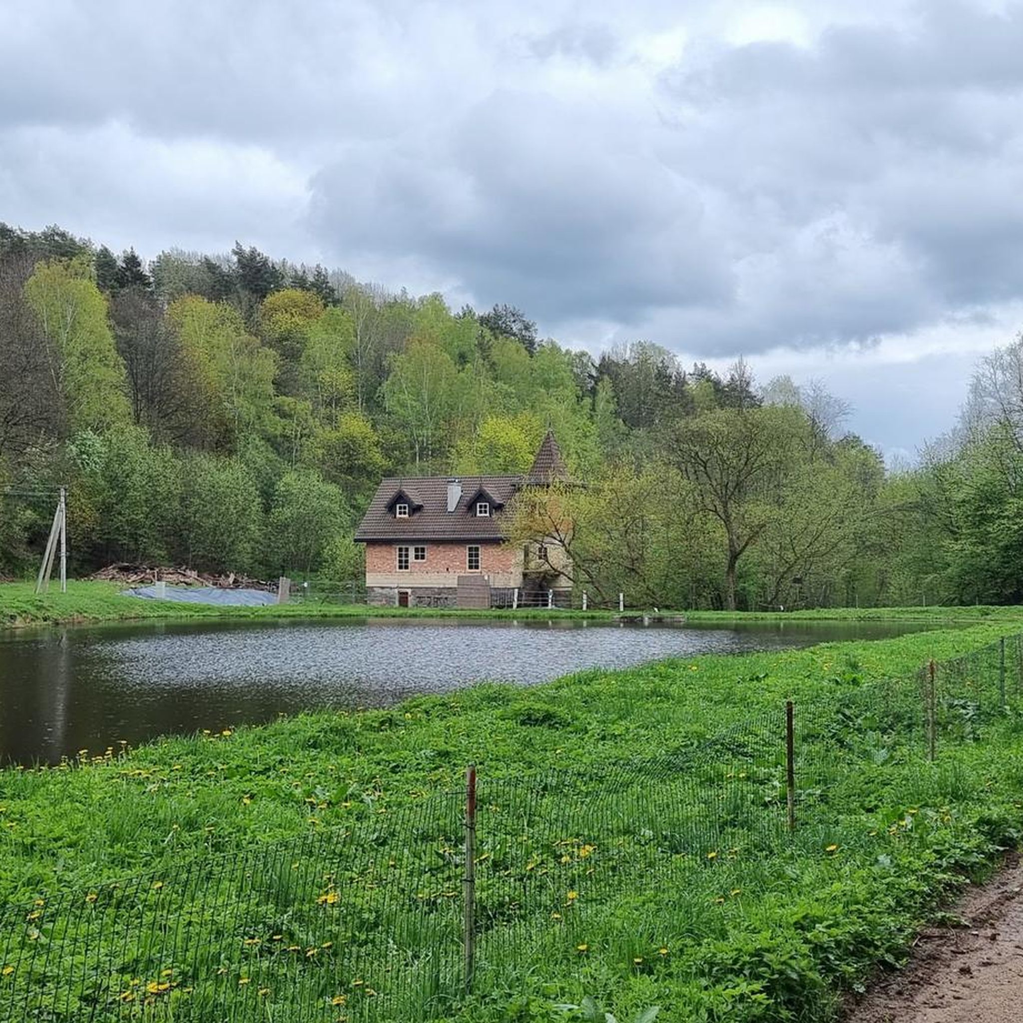
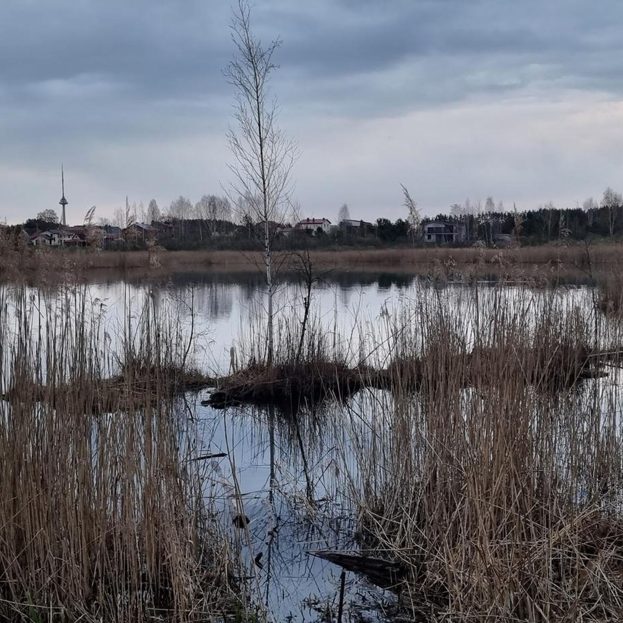
Road cycling around Griovių geomorfologinis draustinis offers varied terrain characterized by erosional hillocks and ravines within the Neries river valley. The area features diverse forests, including spruce, pine, and oak stands, with elevation changes ranging from 83 meters to 177 meters. These geological features create a dynamic landscape for road cyclists seeking routes with undulating profiles.
Best road cycling routes around Griovių geomorfologinis draustinis
- The most popular road cycling route is Statue of Grand Duke Gediminas – Entrance to the…
Last updated: July 12, 2026
4.8
(6)
100
riders
Moderate road ride. Good fitness required. Some segments of this route may be unpaved and difficult to ride.
9
riders
Moderate road ride. Good fitness required. Some segments of this route may be unpaved and difficult to ride.

Sign up for free
4
riders
47.4km
02:16
360m
360m
Moderate road ride. Good fitness required. Some segments of this route may be unpaved and difficult to ride.
53
riders
54.0km
02:27
380m
380m
Moderate road ride. Good fitness required. Some segments of this route may be unpaved and difficult to ride.
5.0
(1)
22
riders
18.3km
00:58
170m
170m
Easy road ride. Great for any fitness level. Mostly well-paved surfaces and easy to ride.
Get access to more routes and recommendations from other explorers.
Sign up for free
Already have an account?
Our route recommendations are based on thousands of hikes, rides, and runs completed by other people on komoot.
Start today with a free account
Your next adventure awaits.
Login or Signup
Popular around Griovių geomorfologinis draustinis
Tips from the Community

St. Anna is only original on the outside. Inside, Napoleon destroyed a lot. Nothing is original anymore.
2
0

The Church of Saint Anne is a masterpiece of the late Gothic period. It is surrounded by many legends. The most famous one says that Napoleon Bonaparte, after seeing this beauty, would have liked to carry the Church of Saint Anne on his palm to Paris.
2
0

A must when you are there
0
0

Beautiful Gothic church from 1500. Right next door is the Church of St. Francis of Assisi.
1
0
Vilnius Cathedral was built in 1779.
1
1

At the end of the route, another picture view, and in the nearby cafe you can restore your strength 😉👍
0
0


The Liepų alėja, an avenue of small lime trees that stretches between the park's event stage and the 7.5-hectare Vingio section of the Vilnius University Botanical Garden, is simply breathtaking. The avenue, which was declared a protected botanical natural heritage site in 1996, was created on the site of a former manor house. A summer spa house was built here in 1857 on the initiative of the military governor of Vilnius, V. Nazimov, and the large park created at that time still gives the place a special flair today. For cyclists and nature lovers alike, this location offers a perfect opportunity to experience Vilnius' urban culture in a relaxed and natural environment.
0
0
Frequently Asked Questions
How many road cycling routes are available around Griovių geomorfologinis draustinis?
There are nearly 100 road cycling routes available around Griovių geomorfologinis draustinis, offering a wide variety of options for different skill levels and preferences.
What kind of terrain can I expect when road cycling in Griovių geomorfologinis draustinis?
Road cycling in this region features varied terrain, characterized by erosional hillocks and ravines within the Neries river valley. You'll encounter diverse forests, including spruce, pine, and oak stands, with elevation changes ranging from 83 meters to 177 meters. While the core reserve is rugged, road routes on the periphery and connecting roads offer undulating profiles.
What are the difficulty levels of road cycling routes in this area?
The routes around Griovių geomorfologinis draustinis cater to various abilities. You'll find approximately 24 easy routes, 68 moderate routes, and 7 more challenging routes, ensuring options for beginners to experienced cyclists.
Are there any loop trails for road cyclists?
Yes, many road cycling routes in the area are designed as loops. For example, the Statue of Grand Duke Gediminas – Entrance to the Republic of Užupis loop from Lazdynai eldership and the Pathway Between Lakes loop from Pilaitė are popular circular options.
What natural features or viewpoints can I see along the road cycling routes?
From elevated hills within the reserve, you can enjoy excellent views of the deep Neries River valley. The routes also traverse diverse forest ecosystems, including dark spruce groves and bright pine forests. The unique erosional hillocks and ravines create a picturesque landscape.
Are there any historical or archaeological sites accessible by road bike?
While primarily known for its natural beauty, the reserve does contain two archaeological settlement sites of Pasieniai. Additionally, the site of the historically significant Bieliūnai Oak, though no longer standing, is located in the southern part of the reserve near Smigliai village.
Is there parking available for road cyclists near Griovių geomorfologinis draustinis?
Yes, parking is generally available in areas surrounding the Griovių geomorfologinis draustinis, particularly near starting points of popular routes or in nearby villages like Lazdynai eldership or Pilaitė, which serve as common access points for cyclists.
What is the best time of year for road cycling in Griovių geomorfologinis draustinis?
The best time for road cycling is typically from spring through early autumn (April to October), when the weather is mild and the natural landscapes are at their most vibrant. During these months, the forest paths and roads are generally dry and pleasant for riding.
Are there family-friendly road cycling options?
Yes, there are easy road cycling routes suitable for families. Approximately 24 routes are classified as easy, offering less challenging terrain and shorter distances, perfect for a leisurely ride with children.
What do other road cyclists say about the routes in Griovių geomorfologinis draustinis?
The road cycling routes in Griovių geomorfologinis draustinis are highly rated by the komoot community, with an average score of 4.6 stars from over 180 reviews. Cyclists often praise the varied urban and natural landscapes, the mix of open roads and forested sections, and the scenic views of the Neries river valley.
Are there routes with significant elevation changes for a more challenging ride?
Yes, the region's 'very complex, picturesque relief' with its erosional hillocks and ravines means many routes feature significant elevation changes. For instance, the Wooden Bridge Over Stream – Tilčiukas Wooden Bridge loop from Lazdynai eldership includes over 500 meters of elevation gain, offering a good challenge.
Can I find longer road cycling routes in the area?
Absolutely. While there are shorter options, routes like the Wooden Bridge Over Stream – Tilčiukas Wooden Bridge loop from Lazdynai eldership extend to nearly 40 miles (63.8 km), exploring the wider region and providing a more extensive ride.
Where can I find cafes or places to rest along the routes?
While the immediate reserve is natural, many routes start or pass through nearby towns and villages like Lazdynai eldership or Pilaitė. These areas offer opportunities to find cafes, shops, and other amenities for rest and refreshments before or after your ride.
Most popular routes around Griovių geomorfologinis draustinis

Get inspired with the komoot mobile app


Explore more
Browse the best Road cycling routes in other regions.
