The best road cycling routes around Albentosa
5.0
(7)
601
riders
28
rides
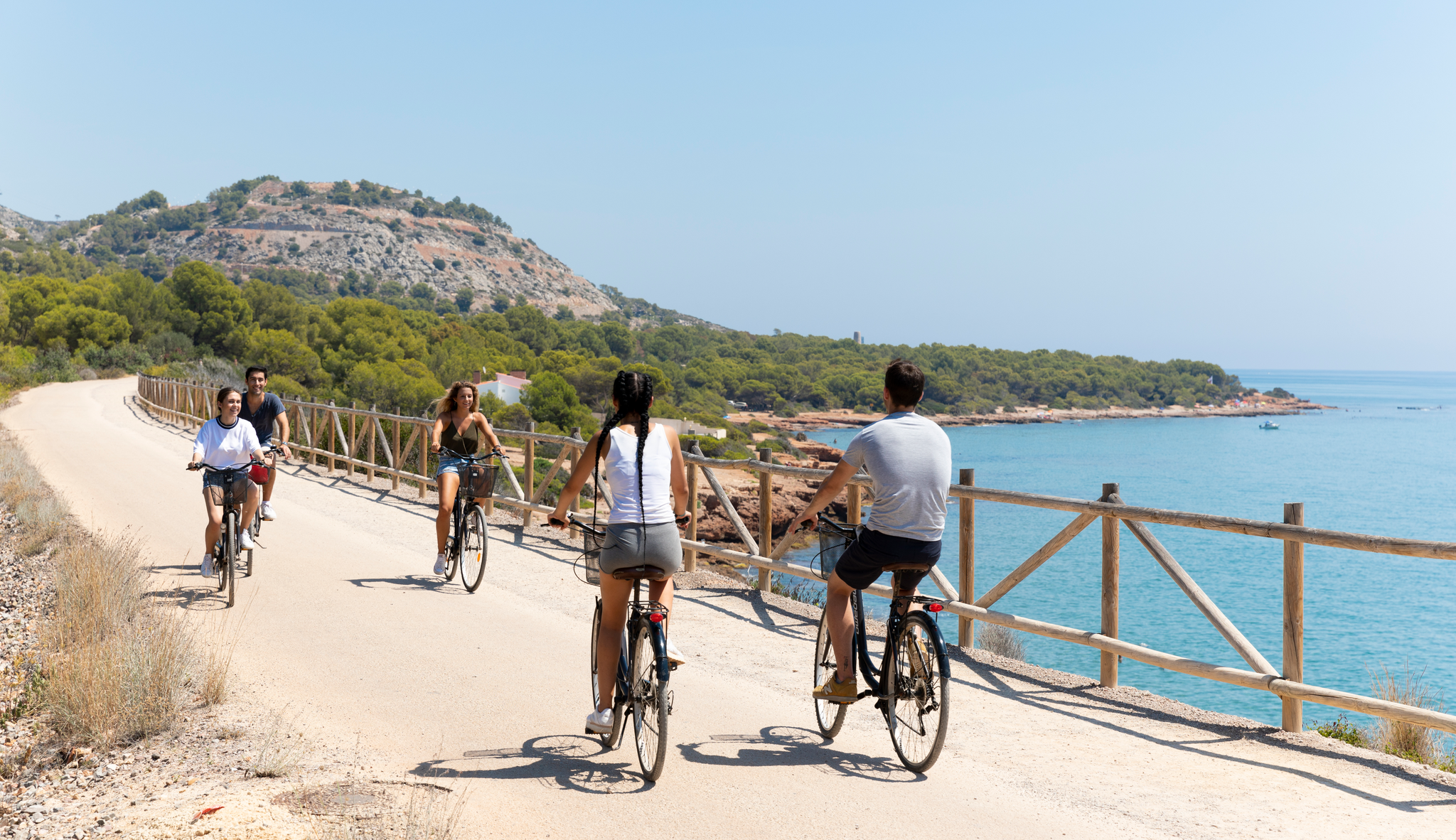
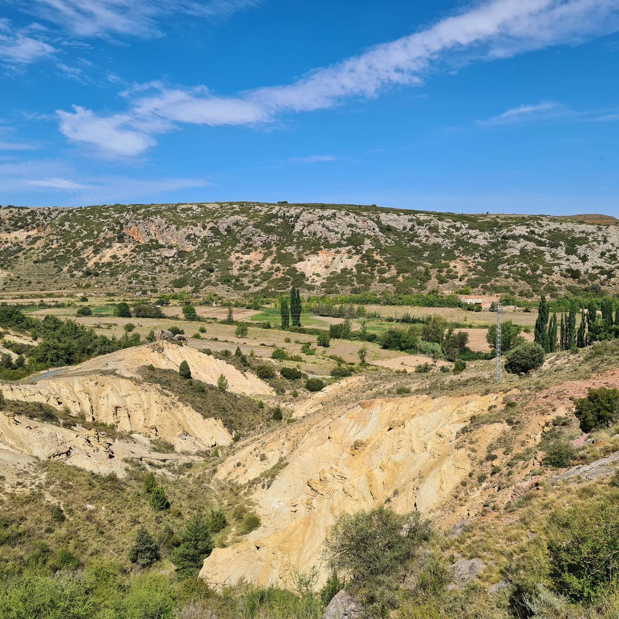
Road cycling routes around Albentosa are primarily defined by the Vía Verde Ojos Negros, a greenway built on a former mining railway line, offering a unique cycling experience. The region features varied landscapes, including mountainous terrain, river valleys, and pine forests, with notable structures like the Albentosa Viaduct and Tunnel. This area provides a mix of gentle gradients along the Vía Verde and more challenging climbs in the surrounding hills.
Best road cycling routes around Albentosa
- The most popular road cycling route is Albentosa - Arenoso Reservoir Loop, a 37.7 miles (60.7 km) trail that takes 3 hours 8 minutes to complete. This moderate route offers views of the local reservoir and surrounding natural areas.
- Another top favourite among local road cyclists is Arcos de las Salinas – Source of the Arcos River loop from Sarrión, a difficult 63.4 miles (102.0 km) path. This route traverses varied terrain, including climbs through the mountainous landscape towards the source of the Arcos River.
- Local road cyclists also love the Glorious poppy field (May) – View of Rubielos de Mora loop from El Casucho, a 41.3 miles (66.5 km) trail leading through scenic poppy fields and offering views of Rubielos de Mora, often completed in about 3 hours 13 minutes.
- Road cycling around Albentosa is defined by the Vía Verde Ojos Negros, impressive viaducts, and tunnels, set amidst mountainous terrain and river valleys. The network offers options for different ability levels, from moderate greenway sections to more difficult climbs.
- The routes in Albentosa are highly rated by the komoot community with an average score of 5.0 stars from 7 reviews. More than 600 road cyclists have used komoot to explore Albentosa's varied terrain.
Last updated: July 7, 2026
17
riders
60.7km
03:09
880m
880m
This moderate 37.7-mile (60.7 km) road cycling route follows the Mijares River around the Arentes Reservoir, offering scenic views and a bal
101
riders
102km
05:33
2,050m
2,050m
Hard road ride. Very good fitness required. Mostly well-paved surfaces and easy to ride.

Sign up for free
5.0
(2)
35
riders
61.3km
02:54
820m
820m
Moderate road ride. Good fitness required. Some segments of this route may be unpaved and difficult to ride.
6
riders
113km
05:36
1,710m
1,710m
Hard road ride. Very good fitness required. Mostly well-paved surfaces and easy to ride.
28
riders
78.2km
03:56
1,210m
1,210m
Hard road ride. Very good fitness required. Mostly well-paved surfaces and easy to ride.
Get access to more routes and recommendations from other explorers.
Sign up for free
Already have an account?
Our route recommendations are based on thousands of hikes, rides, and runs completed by other people on komoot.
Start today with a free account
Your next adventure awaits.
Login or Signup

Other adventures around Albentosa

Tips from the Community

Arcos de las Salinas is a small village in the Javalambre Mountains, ideal for hiking and nature lovers. Surrounded by mountains and crossed by the Arcos and Torrijano rivers, it is part of a protected area designated as a Site of Community Interest. Its scattered villages and farmhouses give it a very authentic rural feel, perfect for unwinding. Thanks to its altitude, the climate is cool, and snow is not uncommon in winter, making it a good starting point for excursions at any time of year.
1
0

From here you can see part of the reservoir and the town. It's a good place to park and start cycling routes.
1
0

The Fuente de la Salud (Health Fountain) in Olba (Teruel) is a charming natural spot, highly valued by hikers and visitors seeking tranquility, nature, and pure water. It is a natural spring located in a wooded setting next to the Mijares River, surrounded by native vegetation. It is part of a highly accessible circular hiking route, ideal for all fitness levels. The spring's water is known for its purity and freshness, and has traditionally been attributed with health-giving properties.
2
0
The Barranco de Linares offers stunning views and is a popular destination for hiking enthusiasts. One of the most recommended routes is the circular route that passes through the Hoz del Río Mijares and reaches the Barranco de Linares.
7
0

When passing along the road that goes from the highway from Teruel to Olba, a couple of kilometers before this town, an aqueduct appears on a curve, just in front of the start of the road that leads to the village of Los Ramones. There is an information panel and from there a short path starts that leads to the fountain of the same name. The fountain, small and discreet, is on the left bank of the Rubielos River, which upstream from the fountain is enclosed forming narrow narrows.
1
1
The Rubielos River flows through a picturesque landscape and offers opportunities to enjoy nature. The Fuente de la Salud is located on the left bank of the Rubielos River. It is a small and discreet fountain, but its location is charming. To access the fountain, you can walk from the bridge, approximately 150 meters away. Upstream from the source, the river is narrowed, forming narrow narrows, which adds to its natural appeal.
8
0

This is a stunning, "hidden* valley with many small settlements and beautiful pine forested slopes.
0
0
The Devil's Bridge designation refers to several dozen ancient bridges that, according to popular tradition, would have been built by the Devil, with his help, or even against his wishes.
11
0
Frequently Asked Questions
How many road cycling routes are available around Albentosa?
Albentosa offers a diverse selection of nearly 30 road cycling routes. These routes cater to various skill levels, with a good mix of moderate and difficult options.
What is the best time of year for road cycling in Albentosa?
The region around Albentosa generally offers pleasant conditions for road cycling during spring and autumn. These seasons typically provide milder temperatures, ideal for enjoying the varied landscapes without the intense heat of summer or the colder temperatures of winter. The 'Glorious poppy field (May) – View of Rubielos de Mora loop' suggests May can be particularly scenic.
What are the typical terrain and difficulty levels for road cycling in Albentosa?
Road cycling in Albentosa features varied terrain. The Vía Verde Ojos Negros offers largely gentle gradients, often downhill when ridden towards the coast, making it accessible. However, the surrounding mountainous landscapes also provide more challenging climbs. Out of the nearly 30 routes, 11 are considered moderate and 17 are difficult, indicating options for different fitness levels.
Are there any notable landmarks or viewpoints along the cycling routes in Albentosa?
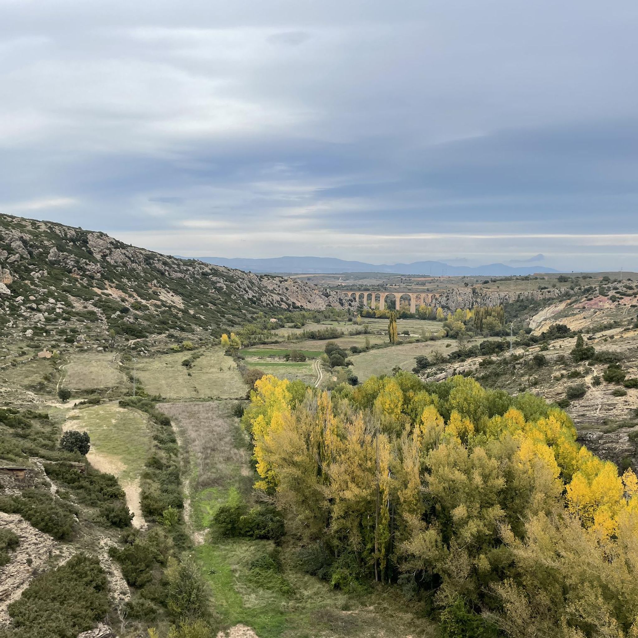
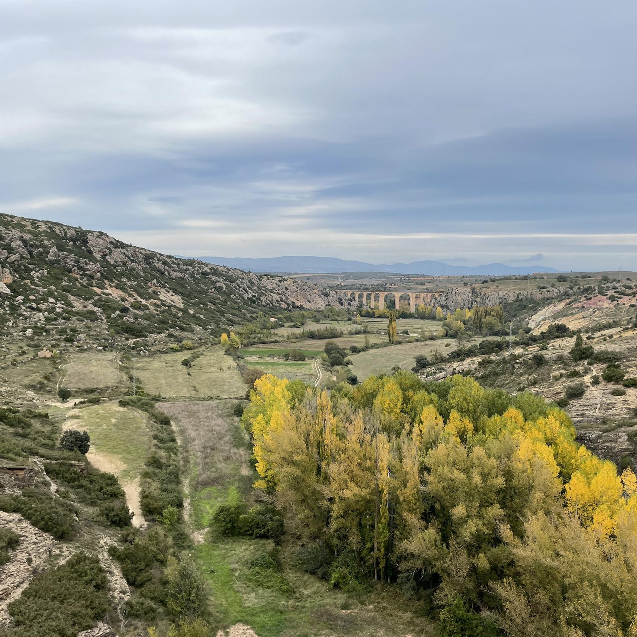
Yes, the routes feature several impressive landmarks and offer scenic viewpoints. A highlight is the Albentosa Viaduct, an impressive structure with seven semi-circular arches offering panoramic views of the Albentosa River and the town. Cyclists also pass through the Albentosa Tunnel, the longest on the Vía Verde. Other natural sights include the Fuente de la Salud and Views of the Linares Gorge.
What makes the Vía Verde Ojos Negros special for road cyclists in Albentosa?
The Vía Verde Ojos Negros is a primary draw for road cyclists in Albentosa. It's built on a former mining railway line, offering a unique, traffic-free cycling experience. It's one of Spain's longest greenways, largely downhill when ridden from the interior towards the coast, making it accessible for various fitness levels. It also features impressive engineering like the Albentosa Viaduct and Tunnel.
Are there options for easier, beginner-friendly road cycling routes?
While many routes are rated moderate to difficult, the Vía Verde Ojos Negros itself provides sections with gentle gradients, making it suitable for beginners or those seeking a more relaxed ride. These sections are largely traffic-free, offering a comfortable and safe environment for less experienced cyclists.
Are there challenging climbs for experienced road cyclists?
Absolutely. Beyond the gentle gradients of the Vía Verde, the region around Albentosa features impressive mountainous terrain. Routes like the Arcos de las Salinas – Source of the Arcos River loop from Sarrión, rated difficult, traverse varied terrain with significant climbs, providing a demanding experience for seasoned road cyclists.
Is there parking available for cyclists near the routes in Albentosa?
Yes, parking is generally available in and around Albentosa, especially near access points to the Vía Verde Ojos Negros. Specific parking information for individual trailheads can often be found on komoot route pages or local tourism resources.
Can I access the cycling routes using public transport?
While Albentosa is a smaller village, it is connected by regional bus services. However, public transport options directly to specific trailheads for cycling might be limited. It's advisable to check local bus schedules and routes in advance if you plan to rely on public transport for access.
Are there any circular road cycling routes in the area?
Yes, many of the road cycling routes around Albentosa are designed as loops, allowing you to start and finish in the same location. Examples include the popular Albentosa - Arenoso Reservoir Loop and the Glorious poppy field (May) – View of Rubielos de Mora loop from El Casucho.
What do other road cyclists say about their experience in Albentosa?
The road cycling routes in Albentosa are highly rated by the komoot community, with an average score of 5.0 stars from 7 reviews. Over 600 road cyclists have explored the area using komoot, often praising the unique experience of the Vía Verde Ojos Negros and the diverse, scenic landscapes.
Are the road cycling routes around Albentosa suitable for families?
The Vía Verde Ojos Negros, with its traffic-free and largely gentle gradients, is particularly well-suited for families. It provides a safe and enjoyable environment for cyclists of all ages to experience the region's natural beauty. More challenging routes might be better for families with older, more experienced riders.
What kind of natural landscapes can I expect to see while cycling?
Cyclists in Albentosa will encounter a rich variety of natural landscapes. The routes traverse impressive mountainous terrain, offering scenic backdrops. You'll also pass through serene pine forests, follow picturesque riverbeds, and experience the unique geological features of gorges and valleys. The Vía Verde itself winds through diverse scenery, from arid highlands to greener sections.
Most popular attractions around Albentosa

Get inspired with the komoot mobile app


Explore more
Browse the best Road cycling routes in other regions.
