The best MTB trails around Hita
4.7
(15)
375
riders
40
rides
Mountain bike trails around Hita offer diverse terrain within Japan's Oita Prefecture. The region is characterized by mountainous landscapes, including peaks like Gozendake (1,209 m) and Shakadake (1,231 m), providing varied gradients and elevation changes. Hita features a network of routes suitable for mountain biking, gravel, and road cycling, often incorporating natural features such as the Oyama Dam. This environment supports a range of outdoor activities, making it a notable destination for cyclists.
Best mountain bike trails around Hita
- The…
Last updated: June 28, 2026
58.1km
05:09
1,030m
1,030m
This challenging 36.1-mile mountain bike route from Cogolludo explores the Embalse de Beleña and Laguna de Tamajón with 3393 feet of gain.
52
riders
50.5km
04:44
890m
890m
Moderate mountain bike ride. Good fitness required. Advanced riding skills necessary.

Sign up for free
58
riders
Moderate mountain bike ride. Good fitness required. Suitable for all skill levels.
41
riders
82.6km
07:39
1,360m
1,360m
Hard mountain bike ride. Very good fitness required. Advanced riding skills necessary.
11
riders
36.7km
03:28
690m
690m
Moderate mountain bike ride. Good fitness required. Advanced riding skills necessary.
Get access to more routes and recommendations from other explorers.
Sign up for free
Already have an account?
Our route recommendations are based on thousands of hikes, rides, and runs completed by other people on komoot.
Start today with a free account
Your next adventure awaits.
Login or Signup
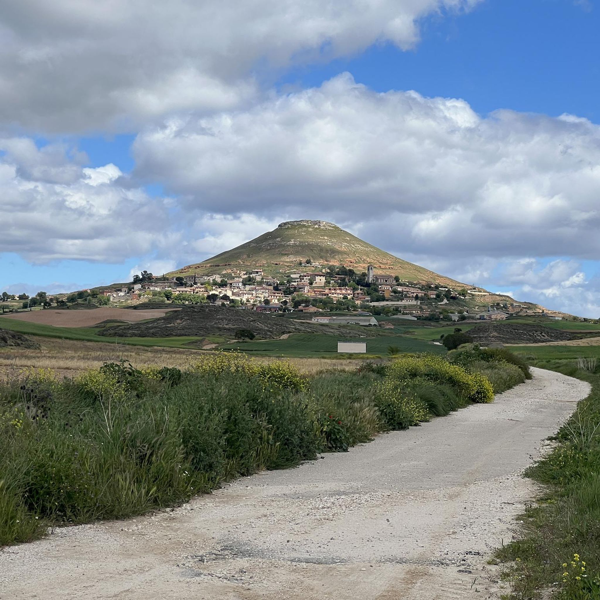
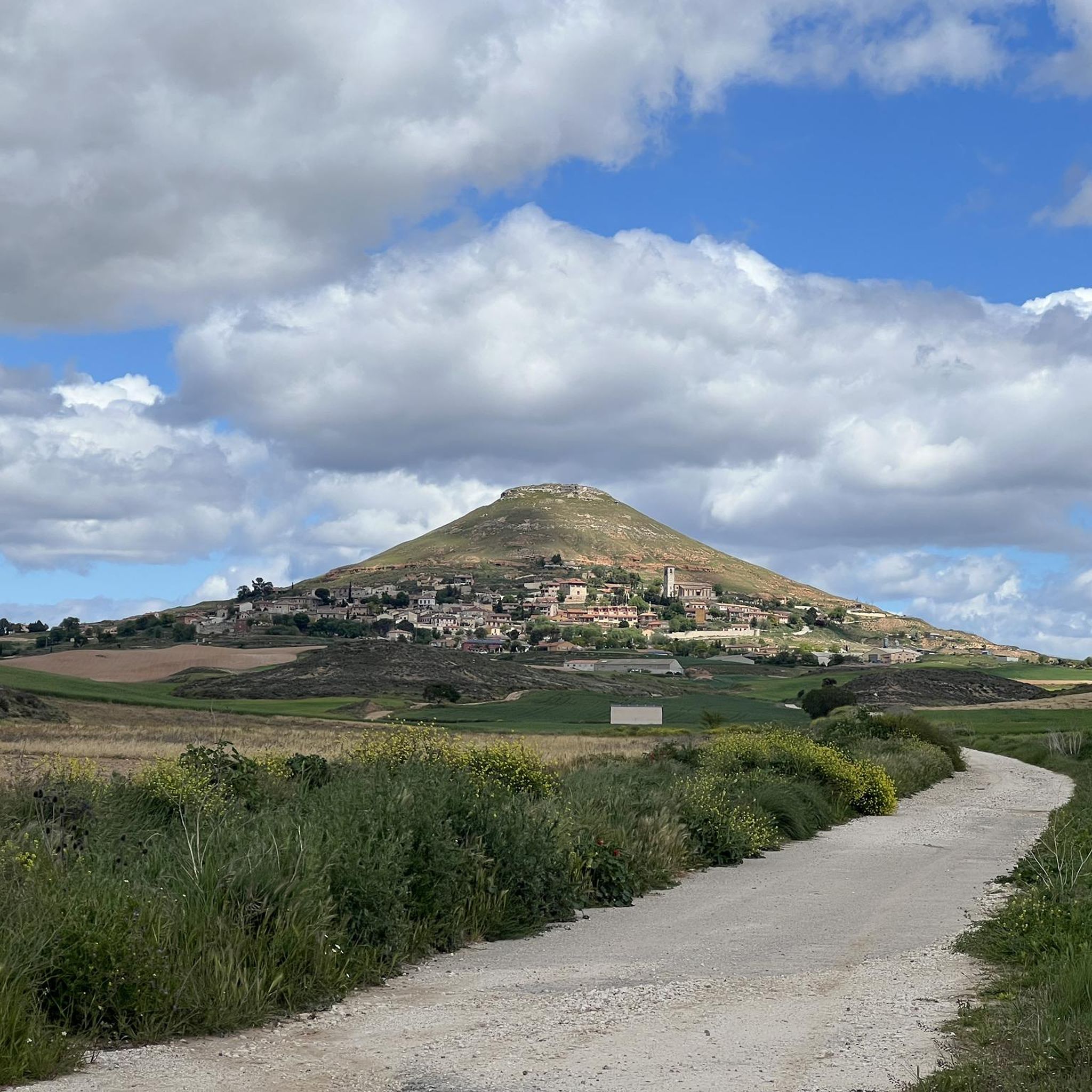


Tips from the Community

Torija Castle is an exquisite medieval military fortress and a must-see heritage site on the Camino del Cid. The castle contains a museum showcasing the history and culture of the region.
1
0
On the plateau of the Iberian system, the town of Trijueque was an outpost on the route to Torija marked today by the ruins of a castle, of which only parts of a tower remain. You must go up to the Alcarria viewpoint to get incredible views of the unique landscape of the area.
1
0

The Beleña Reservoir is a Spanish reservoir located in the Sorbe riverbed between the towns of Muriel and Beleña de Sorbe, in the province of Guadalajara. Precious dam to cross over the waters of the swamp!
0
0

The Beleña reservoir built on the Sorbe river offers a very picturesque landscape of this area of Guadalajara. From the top of the dam you can have beautiful views of the reservoir with the Ocejón in the background, which rises to 2049 meters above sea level.
1
0

Fountain and viewpoint in Jadraque
1
0
A good place to take a break
0
0

Viewpoint where the alcarria ends and you can admire all the light that bathes the lower countryside of the henares, with the Castillo del Cid in front. Quiet place for walkers and cyclists.
0
0

After the route, a little break having a drink next to the castle
0
0
Frequently Asked Questions
How many mountain bike trails are there around Hita?
There are nearly 40 mountain bike trails around Hita, offering a diverse range of experiences for different skill levels. You'll find routes ranging from moderate to difficult, with options for both shorter rides and longer, more challenging expeditions.
What kind of terrain can I expect on mountain bike trails in Hita?
Hita's mountain bike trails are characterized by mountainous terrain, featuring varied gradients and significant elevation changes. The region is surrounded by peaks like Gozendake (1,209 m) and Shakadake (1,231 m), providing scenic backdrops and challenging climbs. You can expect a mix of natural paths and dedicated cycling routes.
Are there any family-friendly mountain bike trails in Hita?
While many trails in Hita are moderate to difficult, there are 5 easy mountain bike routes available. These are generally shorter and have less demanding elevation, making them suitable for families or those looking for a more relaxed ride. Always check the route details on komoot for specific difficulty ratings and terrain information before heading out with children.
Are there mountain bike trails that form a loop in Hita?
Yes, many mountain bike trails in Hita are designed as loops, allowing you to start and finish at the same point. For example, the difficult route Embalse de Beleña – circular from Cogoll is a 58.1 km loop, and the moderate Jadraque – San Blas Church loop from Jadraque covers 50.5 km. These circular routes are convenient for planning your day.
What are some notable landmarks or viewpoints I can see along the mountain bike trails in Hita?
As you explore the mountain bike trails around Hita, you can encounter several interesting landmarks and viewpoints. The region features the impressive Oyama Dam, which is part of a designated cycling route. Additionally, you might pass by historical sites such as Jadraque Castle or Castillo de Torija, and enjoy panoramic views like the View of Cogolludo. Some routes also incorporate 'Attack on Titan Spots' for fans of the series.
What do other mountain bikers enjoy the most about mountain biking in Hita?
The mountain biking experience in Hita is highly rated by the komoot community, with an average score of 4.7 stars from over 10 reviews. Riders often praise the diverse terrain, the challenging nature of many routes, and the beautiful mountainous landscapes that provide a rewarding outdoor adventure.
Are there any easy mountain bike trails for beginners in Hita?
Yes, Hita offers 5 easy mountain bike trails that are suitable for beginners or those looking for a less strenuous ride. These routes typically feature gentler gradients and shorter distances compared to the more challenging options. For example, the Jadraque – La Alcarria Viewpoint loop from Jadraque is a moderate 36.7 km route with manageable elevation, which could be a good step up from an easy trail.
What is the best season for mountain biking in Hita?
Hita's mountainous environment means that spring and autumn generally offer the most pleasant conditions for mountain biking, with milder temperatures and beautiful scenery. Summer can be warm, while winter might bring colder weather to higher elevations. Always check local weather forecasts before planning your ride.
Where can I find parking for mountain biking trailheads in Hita?
Specific parking information for individual trailheads in Hita can often be found within the details of each komoot tour. Many routes, especially those starting from towns or popular attractions, will have designated parking areas nearby. For instance, the route Fuente Baja de Torija – Castillo de Torija loop from Aparcamiento de emergencia Vialidad Invernal Trijueque indicates a starting point with emergency winter road parking, suggesting available space.
Are there any mountain bike trails that pass by the Oyama Dam?
Yes, the impressive Oyama Dam is a notable feature in Hita and is part of a designated cycling route. This provides a unique visual element to your ride, combining natural beauty with an interesting man-made structure. You can find routes on komoot that incorporate this landmark into their path.
What is the longest mountain bike trail available in Hita?
The longest mountain bike trail listed is the difficult Fuente Baja de Torija – Castillo de Torija loop from Aparcamiento de emergencia Vialidad Invernal Trijueque, which spans 63.6 km and typically takes around 5 hours and 41 minutes to complete. This route offers a substantial distance through varied landscapes for experienced riders.
Can I find accommodation or camping facilities near the mountain bike trails in Hita?
Yes, the mountainous Okuhita region, which is excellent for outdoor activities, hosts facilities like the Snow Peak Okuhita Campfield. This provides amenities for camping and can serve as a convenient base for exploring the mountain bike trails and other outdoor adventures in the area.
Most popular attractions around Hita

Get inspired with the komoot mobile app


Explore more
Browse the best MTB trails in other regions.
