The best cycling routes around Orea
4.9
(16)
324
riders
36
rides
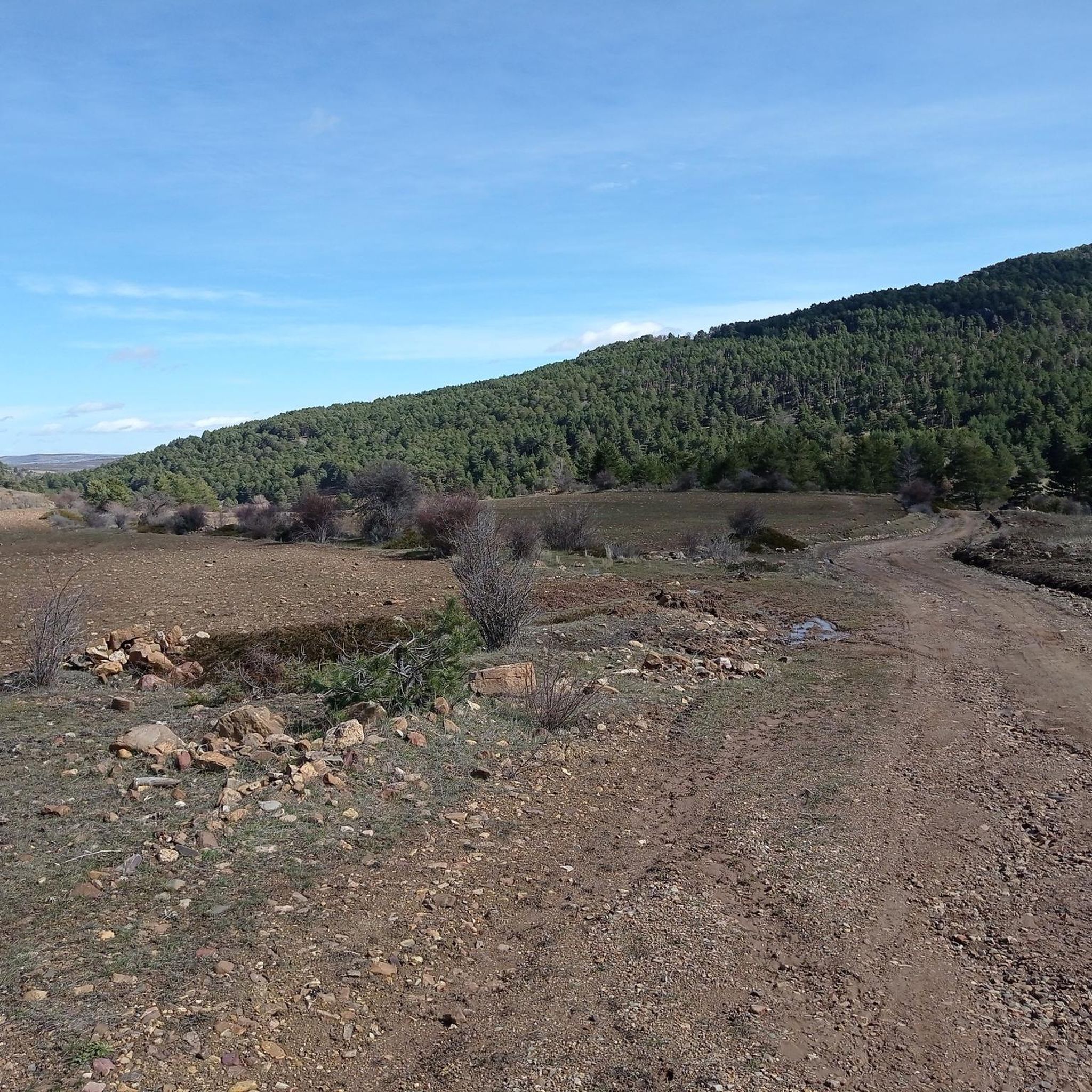
Touring cycling routes around Orea traverse a landscape characterized by significant elevation changes, indicative of a hilly and mountainous region. The area features varied terrain, with routes often connecting historical towns and natural landmarks. These paths provide opportunities for cyclists to experience the region's diverse topography.
Best touring cycling routes around Orea
- The most popular touring cycling route is Camino del Cid: The Three Taifas BTT Route, a difficult 24.9 miles (40.2 km) trail that takes 2 hours 41…
Last updated: July 1, 2026
5.0
(1)
8
riders
40.2km
02:41
470m
480m
Cycle the difficult Camino del Cid: The Three Taifas BTT Route, a 25-mile journey through historical landscapes and varied terrain.
5.0
(5)
49
riders
81.7km
05:31
1,310m
1,310m
Hard bike ride. Very good fitness required. Mostly paved surfaces. Suitable for all skill levels.

Sign up for free
22
riders
47.5km
04:59
1,050m
1,050m
Hard bike ride. Very good fitness required. Mostly paved surfaces. Suitable for all skill levels.
5.0
(1)
10
riders
72.5km
04:57
1,260m
1,260m
Hard bike ride. Very good fitness required. Mostly paved surfaces. Suitable for all skill levels.
11
riders
43.9km
02:55
660m
660m
Hard bike ride. Very good fitness required. Mostly paved surfaces. Suitable for all skill levels.
Get access to more routes and recommendations from other explorers.
Sign up for free
Already have an account?
Our route recommendations are based on thousands of hikes, rides, and runs completed by other people on komoot.
Start today with a free account
Your next adventure awaits.
Login or Signup

Other adventures around Orea

Tips from the Community

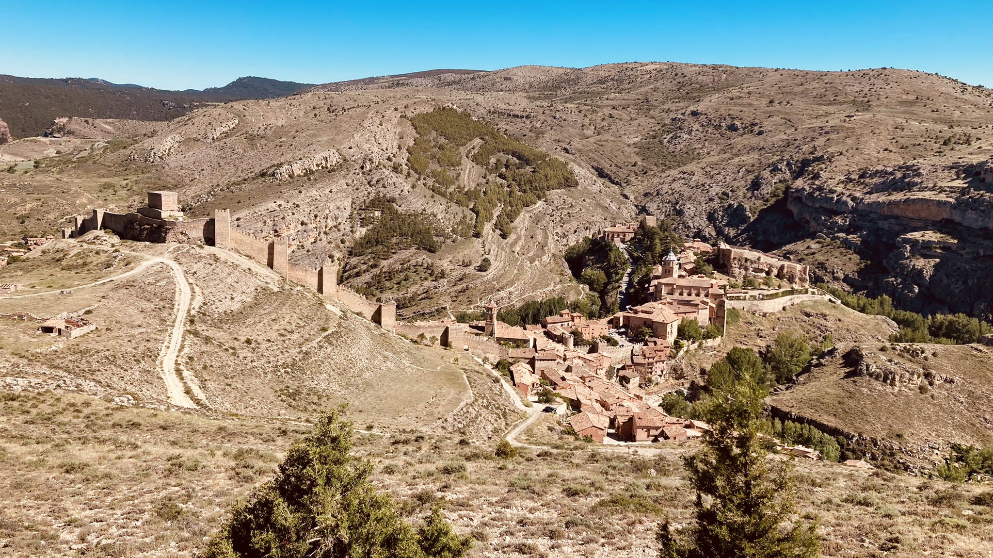
Al.barracín, a spectacular old "pink" village with 1050 inhabitants, is located at an altitude of 1182 m, with beautiful views of the Río Guadalaviar. The village is located in the province of Teruel (southern Aragón), 37 km northwest of Teruel, the city of Mudéjar architecture. It is surrounded by an impressive landscape of mountain massifs of the Sierra de Albarracín.
9
0
Beautiful asphalt road with a beautiful rock face towards a short gorge, with occasional possible stops
10
0

Emblematic place, with natural sculptures, visible from the road itself
0
0

Viewpoint for the church offers a great view over the valley
0
0

A very picturesque old town, dating back to the first millennium BC. Its eventful history is reflected in its cityscape. Until the mid-19th century, it was even a bishopric. Defense has always been of paramount importance to this town. To protect itself from attackers, the town was built on a hill and is thus surrounded by a naturally formed moat. This defensive function is still omnipresent today, evident in the oversized city walls. However, the town's growth apparently could not keep pace with the expansion of the city walls. Today, despite the picturesque townscape and the beautiful surroundings, the population has been declining for years.
5
0

Within the great beauty of the Enchanted City of Chequilla are the Towers, near the Church Square.
0
0

Slept under the porch as it was closed today.
0
0

These rock formations create a very unique setting at the entrance to the town of Chequilla. Erosion over hundreds of thousands of years has formed these whimsical figures that serve as a tourist attraction for anyone who visits this small town.
0
0
Frequently Asked Questions
How many touring cycling routes are available in Orea?
There are over 30 touring cycling routes available around Orea, offering a variety of experiences for cyclists. The region is characterized by significant elevation changes and varied terrain.
Are there any easy touring cycling routes in Orea suitable for beginners or families?
Orea's touring cycling routes are generally challenging, with 28 out of 33 routes rated as difficult. There are no routes specifically categorized as easy, and only 5 are considered moderate. The terrain often involves substantial climbing, making it more suitable for experienced cyclists.
What kind of terrain can I expect on touring cycling routes in Orea?
The terrain in Orea is characterized by significant elevation changes, indicative of a hilly and mountainous region. Cyclists can expect varied landscapes, often connecting historical towns and natural landmarks, with routes featuring challenging climbs and descents.
Are there any long-distance touring cycling routes in Orea?
Yes, Orea offers several long-distance routes. For example, the Orihuela del Tremedal – The towers of Chequilla loop from Checa is a difficult 85.8-mile (138.1 km) path featuring substantial climbing. Another option is the Albarracín – Main Square loop from Orihuela del Tremedal, which covers 51.2 miles (82.4 km) through a mountainous landscape.
What do other touring cyclists enjoy most about cycling in Orea?
The area is highly rated by the komoot community, with an average score of 4.9 stars from over 17 reviews. Cyclists often praise the challenging climbs, varied terrain, and the opportunity to connect with historical locations. Many appreciate the demanding adventures the region offers.
Are there any circular touring cycling routes in Orea?
Yes, there are several circular routes available. A notable one is the Orihuela del Tremedal – The towers of Chequilla loop from Checa, which is a difficult 85.8-mile loop. Another option is the Albarracín – Main Square loop from Orihuela del Tremedal, covering 51.2 miles.
What are some interesting places to explore along the touring cycling routes in Orea?
Along the routes, you can explore several historical towns and natural landmarks. Highlights include the unique rock formations at The towers of Chequilla, the charming settlement of Orihuela del Tremedal, and the village of Griegos. You might also find La Portera Refuge and Viewpoint to be a scenic stop.
Are there any specific viewpoints or refuges along the touring cycling routes?
Yes, cyclists can find several viewpoints and refuges. La Portera Refuge and Viewpoint offers scenic vistas. Other refuges in the area include El Collado Refuge and San Lorenzo Hermitage and Shelter, which can provide resting spots during your tour.
What is the difficulty level of the 'Camino del Cid: The Three Taifas BTT Route'?
The Camino del Cid: The Three Taifas BTT Route is rated as difficult. It is a 24.9-mile (40.2 km) trail that follows a historic path and features notable elevation gains, making it suitable for experienced touring cyclists.
Can I find any facilities like picnic areas or shelters along the routes?
Yes, there are facilities available. For instance, you can find the Forest Shelter and Picnic Area by the Tagus River, which provides a convenient spot for a break and a meal amidst your cycling adventure.
Is there a route that connects Orihuela del Tremedal with The towers of Chequilla?
Yes, the The towers of Chequilla – Orihuela del Tremedal loop from Orihuela del Tremedal is a difficult 72.5-mile (116.7 km) route that connects these two points, offering a substantial cycling challenge with significant elevation changes.
Most popular attractions around Orea

Get inspired with the komoot mobile app


Explore more
Browse the best Cycling routes in other regions.
