The 10 Most Amazing Peaks around Riudecols
Best mountain peaks around Riudecols are found in a municipality nestled in the mountainous terrain of Catalonia, Spain. The area is characterized by its transition zone between the coastal plain and a more forested, mountainous region. It offers several noteworthy mountain peaks and hiking opportunities. This region provides diverse natural landscapes for exploration.
Best mountain peaks around Riudecols
- The most popular mountain peaks is La Mola Castle, Colldejou, a castle that offers extensive panoramic views, including the Mediterranean Sea…
Last updated: July 8, 2026
La Mola Castle, Colldejou
Highlight • Castle
Translated by Google •
Tip by

Puig d'en Cama (717 m)
Highlight • Summit
Translated by Google •
Tip by

Sign up now to discover places like this
Get recommendations on the best single tracks, peaks, & plenty of other exciting outdoor places.
Sign up for free
Coll de la Teixeta
Highlight • Mountain Pass
Translated by Google •
Tip by

Bassot de la Mola
Highlight • Lake
Translated by Google •
Tip by

Miranda de Puigcerver (834 m)
Highlight • Summit
Translated by Google •
Tip by

Sign up for free to discover even more peaks around Riudecols.
Sign up for free
Already have an account?
Start today with a free account
Your next adventure awaits.
Login or Signup


Tips from the Community

Pass between Tarragona and towards Teruel along the N420. It is also a crossing point for the GR7, on a gravel route you can follow the Porrera path towards Argentera, under the cliffs of the Serra de Llaberia.
1
1
This mountain pass is the passage from the Serra de Montsant towards the Serra de Llaberia, and is also a crossroads between Tarragona and Aragon, towards Alcanyís on the N420. It is also a crossing point for the GR7.
1
1


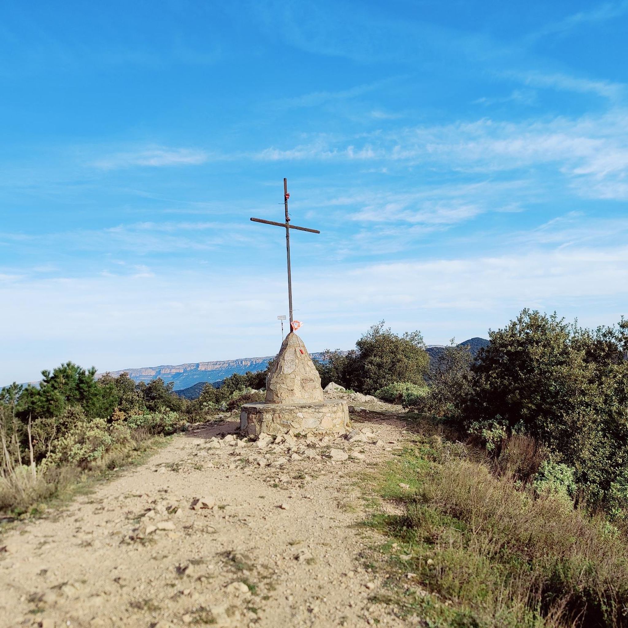
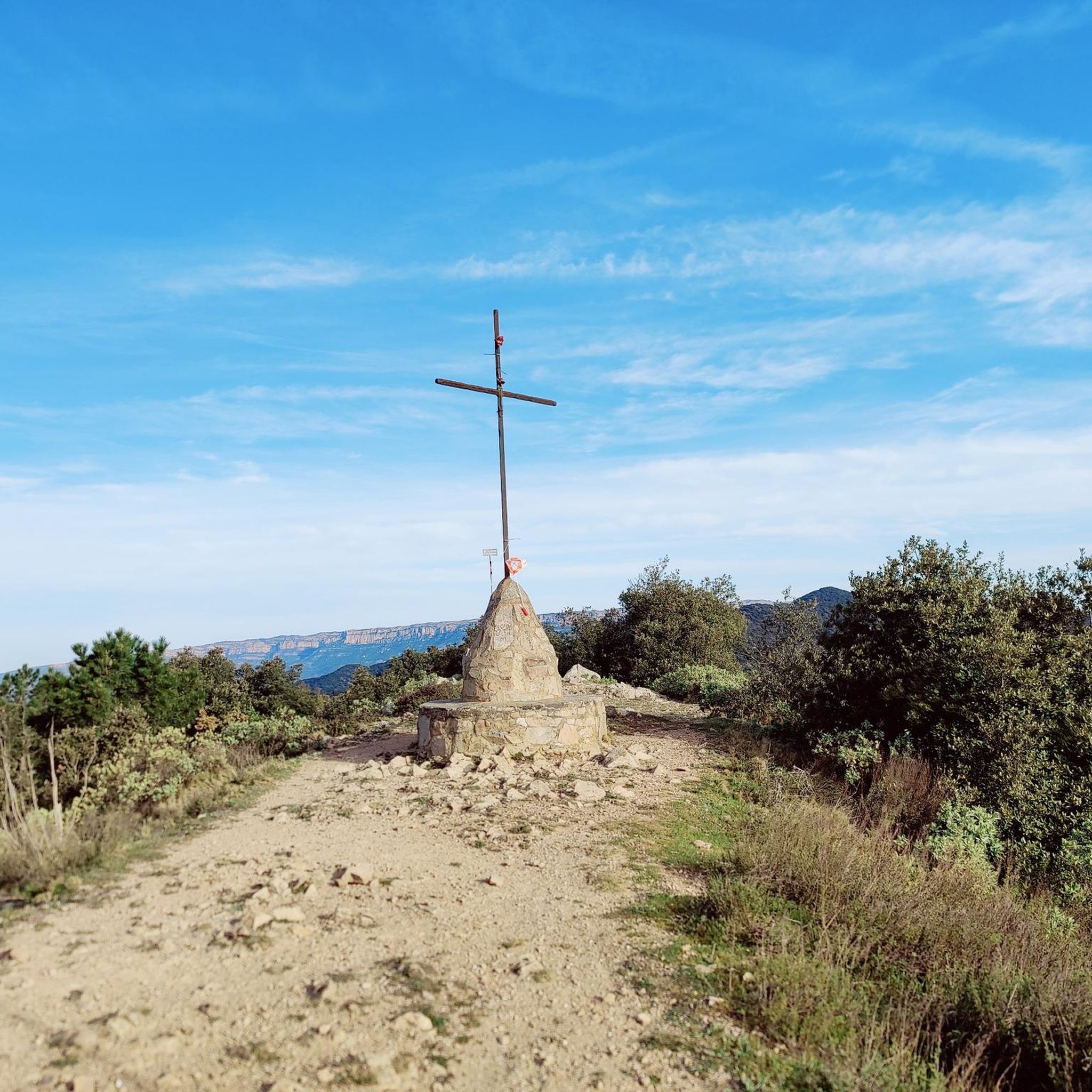
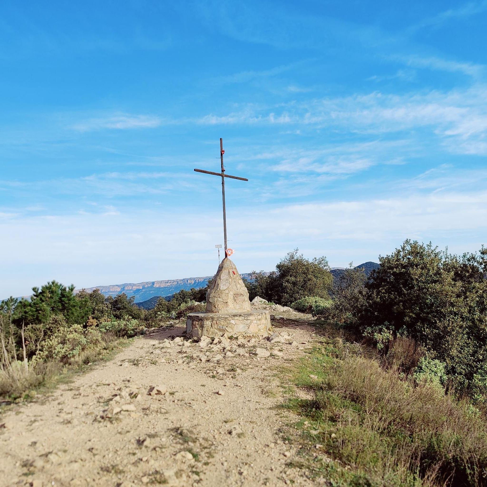
El Puig d'en Cama is a hill located in the Selva del Camp area, the entire summit is above Almoster, Baix Camp region, approximately north of Reus, Castellvell del Camp and Almoster, west of the Selva del Camp and east of Aleixar. It is part of the first stirrups of the Prades mountains. It is 717 meters high. At the top we can find a geodesic vertex (reference 263134001). This peak is included in the Challenge of 100 peaks of the Federation of Excursionist Organizations of Catalonia. Until recently there was a watchtower, now gone.
0
0

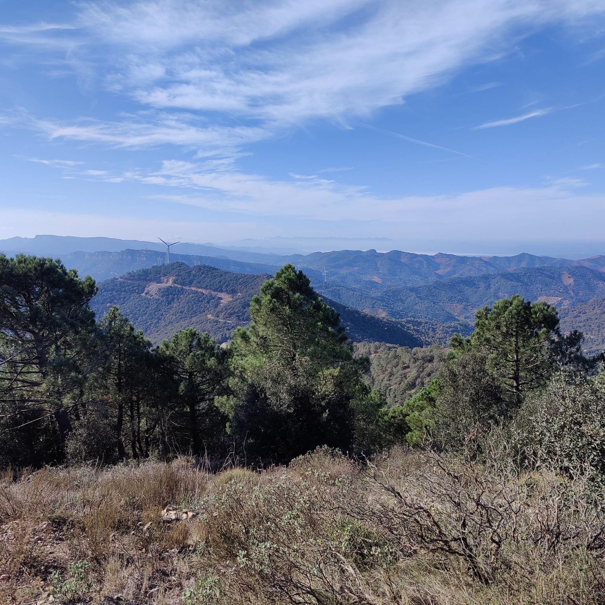
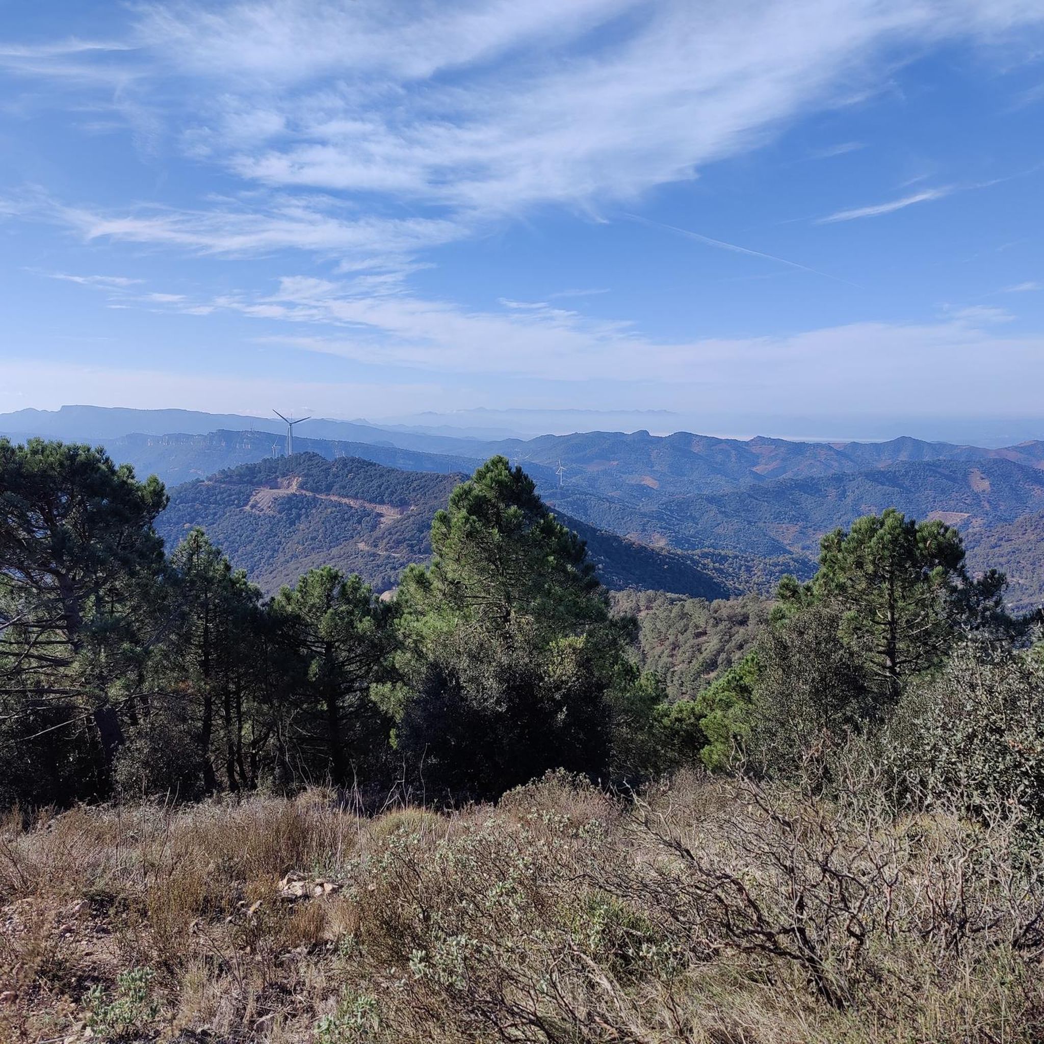
From up here you have a beautiful view.
0
0

One of the most iconic mountains in the area as it is located close to the Ermita de Puigcerver and the Sierra del Molló.
0
0

Nice views but I did it with my gravel bike and the road is not suitable for this type of bike, I had to walk 2 km with the bike on my back. Even in MTB trail or enduro it is complicated, so it is better to walk
0
1

It may be a steep climb to get here, but the 360-degree views are spectacular and well worth it. The trails that lead here are well marked and are part of a larger network of trails.
1
0
Frequently Asked Questions
What are some of the most notable mountain peaks to explore around Riudecols?
The region around Riudecols offers several impressive peaks. Mola de Colldejou is the highest summit in the area, providing extensive panoramic views and historical ruins. Miranda de Puigcerver (834 m) is the highest point within Riudecols' municipal limits, offering commanding views. You can also visit Puig d'en Cama (717 m) for spectacular 360-degree views, or Puigvoltor, known for its scenic vistas overlooking the Riudecanyes Reservoir.
Are there mountain peaks around Riudecols suitable for experienced hikers?
Yes, several peaks offer challenging ascents. The hike to Mola de Colldejou involves a significant elevation gain of 560 meters over 3 kilometers, making it a moderately challenging hike. Puigvoltor is part of a challenging 18.5 km circular hiking route. For more advanced options, consider routes like the "Mountaineering loop from Colldejou" or "La Miranda (918 m) – Cavall Bernat (840 m) loop from Colldejou" found in the Mountain Hikes around Riudecols guide.
Which mountain peaks near Riudecols have historical significance?
Mola de Colldejou is particularly rich in history. Its summit hosts the ruins of a small castle built during the Carlist Wars in the 19th century, which also served as an optical telegraph. You can find more details about this site at La Mola Castle, Colldejou.
Where can I find the best panoramic views from the mountain peaks in Riudecols?
For breathtaking views, Mola de Colldejou offers extensive panoramas of the Mediterranean Sea, Sierra de Montsant, and Els Ports. Puig d'en Cama (717 m) is praised for its spectacular 360-degree views. From Miranda de Puigcerver (834 m), you can enjoy commanding views over the valleys and surrounding sierras of Riudecols. Additionally, Bassot de la Mola, near the castle, offers views reaching the coast of Cambrils and the Llaberia mountain range.
Are there any community events or traditions associated with the mountain peaks in Riudecols?
Yes, Puigcerver is known for an annual pilgrimage (Aplec a Puigcerver) that takes place on the first Sunday of August. This traditional walk sees residents from Riudecols and Alforja meet at the peak, fostering a strong sense of community.
What unique natural features can I discover on the mountain peaks around Riudecols?
Mola de Colldejou features a distinctive block-like shape, a large plateau on its upper part, and a 140-meter cave near the summit (though rappelling is required for exit). The region also transitions between coastal plains and forested, mountainous areas, offering diverse landscapes.
What outdoor activities can I do near these mountain peaks?
Beyond hiking, the area offers various outdoor activities. You can find numerous running trails, such as the "Miranda de Puigcerver (834 m) loop from Riudecols," in the Running Trails around Riudecols guide. For cycling enthusiasts, the Gravel biking around Riudecols guide features routes like "La Teixeta Pass – Riudecanyes Reservoir loop from les Borges del Camp." There are also multi-use trails like Font Vilamanya, suitable for mountain biking, e-biking, hiking, and trail running.
What do visitors enjoy most about the mountain peaks around Riudecols?
Visitors consistently praise the spectacular and extensive panoramic views from various summits, such as Puig d'en Cama (717 m) and Mola de Colldejou. The challenging yet rewarding hikes, the rich natural beauty, and the historical elements like the castle ruins on Mola de Colldejou are also highly appreciated. The komoot community has given the highlights in this guide 71 upvotes and contributed 57 photos, reflecting their positive experiences.
Are there any mountain passes in the Riudecols area that are worth visiting?
Yes, Coll de la Teixeta is a significant mountain pass at 541 meters above sea level. It connects the Tarragona counties of Priorat and Baix Camp, situated between the Sierra de Puigcerver and the Sierra de Pradell. It's also a crossing point for the GR7 long-distance trail and offers beautiful views.
Can I find trails that combine hiking with other activities like mountain biking?
Absolutely. The region offers multi-use trails such as Font Vilamanya, which is popular for mountain biking, e-biking, hiking, and trail running. Additionally, the VilaBous trail is a red difficulty singletrack primarily used for downhill mountain biking, featuring a significant descent.
What is the highest mountain peak directly within Riudecols' municipal territory?
The highest point directly within the municipal territory of Riudecols is Miranda de Puigcerver (834 m). It offers commanding views over the valleys and surrounding sierras.
Are there any specific routes recommended for reaching Mola de Colldejou?
Several routes lead to Mola de Colldejou. A recommended circular excursion starts from the village of Colldejou, traversing ravines and old winegrowers' paths. Another approach is from the northern slope, starting from La Torre de Fontaubella. These routes offer a moderately challenging ascent with rewarding views.
Most popular routes around Riudecols
Most popular attractions around Riudecols

Get inspired with the komoot mobile app


Explore more
See even more amazing summits around Riudecols with these guides:
