The best road cycling routes around Cabezón De Cameros
4.9
(7)
194
riders
5
rides
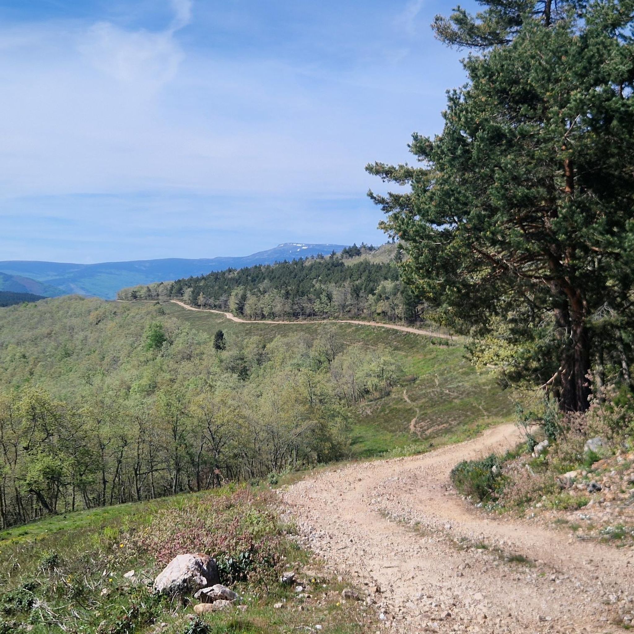
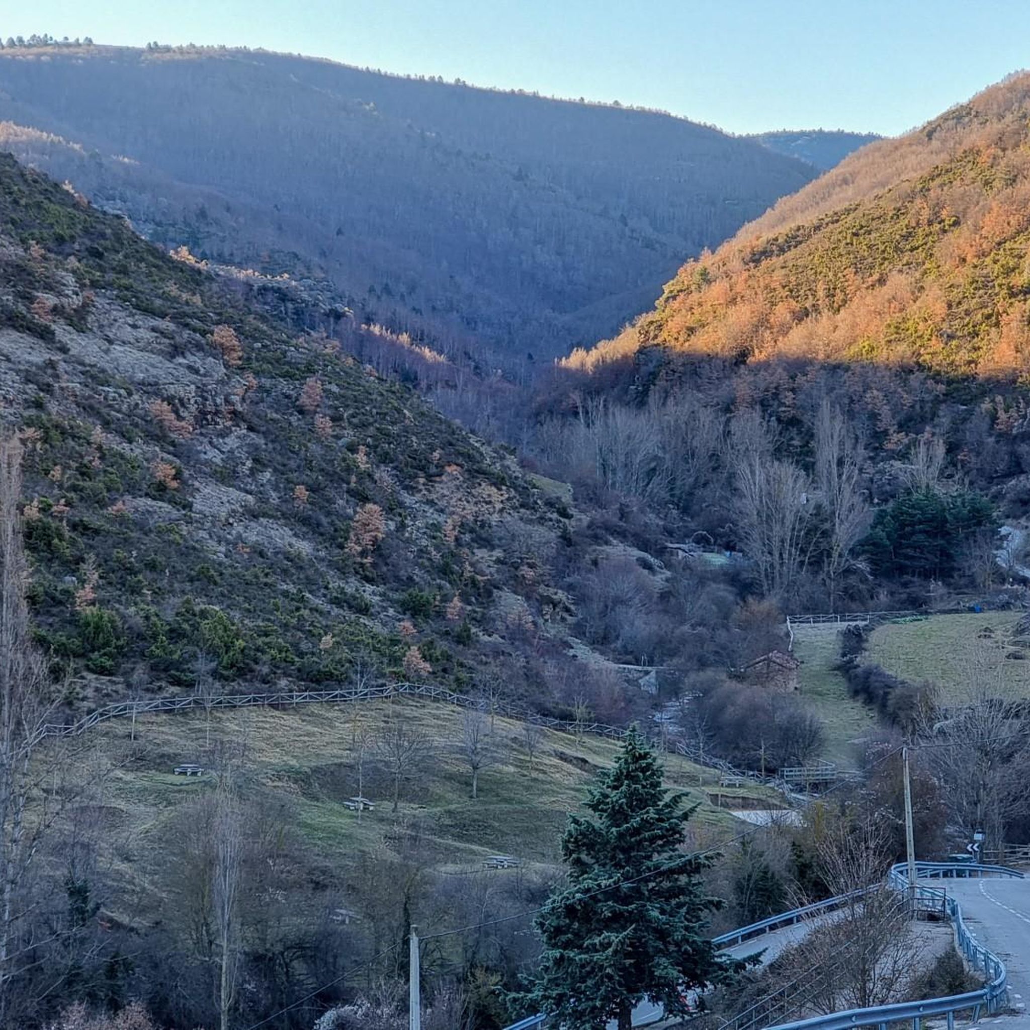
Road cycling around Cabezón De Cameros is characterized by its mountainous terrain and significant elevation changes within the Sierra de los Cameros. The region features challenging climbs and descents, with routes winding through valleys and alongside rivers like the Leza. Cyclists can expect low-traffic roads that traverse diverse landscapes, including forests and traditional mountain villages. This area provides ample opportunities for demanding rides across its varied topography.
Best road cycling routes around Cabezón De Cameros
- The most popular road cycling…
Last updated: July 12, 2026
4.8
(6)
163
riders
94.9km
04:32
1,240m
1,240m
Hard road ride. Very good fitness required. Mostly well-paved surfaces and easy to ride.
8
riders
30.1km
01:44
600m
600m
Moderate road ride. Good fitness required. Mostly well-paved surfaces and easy to ride.

Sign up for free
6
riders
49.5km
02:33
810m
810m
Moderate road ride. Good fitness required. Some segments of this route may be unpaved and difficult to ride.
5.0
(1)
6
riders
44.2km
02:13
710m
710m
Moderate road ride. Good fitness required. Mostly well-paved surfaces and easy to ride.
6
riders
32.9km
01:51
720m
720m
Moderate road ride. Good fitness required. Some segments of this route may be unpaved and difficult to ride.
Our route recommendations are based on thousands of hikes, rides, and runs completed by other people on komoot.
Start today with a free account
Your next adventure awaits.
Login or Signup
Popular around Cabezón De Cameros

Tips from the Community

The stone bridge is one of the four bridges that cross the Ebro in Logroño. It is also called the bridge of San Juan de Ortega. The current structure was built in 1884 after the previous bridge collapsed in 1871. As one of the city's symbols, the bridge, which is used to enter the town on the Way of St. James, can also be seen on its coat of arms. https://www.spain.info/de/highlights/steinbruecke/
2
0

Rivers like the Ebro were a big challenge for pilgrims in the centuries before. That's why the Way of St. James always runs along traffic routes with bridges. The larger cities are always found where there are large bridges. The motorways and national roads now have their own paths. And that's a good thing.
2
0

Magnificent traditional entrance to the Camino De Santiago.
1
0

Main entrance for pilgrims on the Camino de Santiago to Logroño. Renovated in 2022.
1
0
It is located in the Leza Valley, between Leza on the Leza River and Soto en Cameros. Fairly quiet road and very busy with cyclists throughout the year. Sitting and watching the flight of the vultures in the canyon is a privilege.
1
0
One of the most mythical ports for cyclists from La Rioja and especially for those from Logroño.
0
0

Muro de Cameros is located between the mount of El Cabezo and El Cerro, and rises to a height of 1477 meters. It has about 40 inhabitants and several sites where you can see dinosaur footprints.
0
0
Small village of about 70 inhabitants. Two pilgrimages are held every year in the Lollano hermitage: the first Sunday in June and the last Sunday in September.
0
0
Frequently Asked Questions
What kind of terrain can I expect on road cycling routes around Cabezón De Cameros?
The region is characterized by its mountainous terrain and significant elevation changes within the Sierra de los Cameros. You'll find challenging climbs and descents, with routes winding through valleys and alongside rivers like the Leza. The area offers diverse landscapes, including lush forests, extensive vineyards, and traditional mountain villages, all on low-traffic roads.
How many road cycling routes are available in the Cabezón De Cameros area?
There are 9 road cycling routes around Cabezón De Cameros documented on komoot. These routes offer a range of challenges, with 7 classified as difficult and 2 as moderate, catering to experienced cyclists looking for demanding rides.
Are there any particularly challenging climbs or mountain passes for road cyclists?
Yes, the mountainous terrain provides ample opportunities for demanding rides. Notable passes include the Puerto de La Rasa (1,420 m), a first-class ascent known for its horseshoe curves, and the Puerto de Sancho Leza. The broader Sierra de Cameros also features challenging routes encompassing the Ports of Montenegro and Peña Hincada.
What are some of the most scenic natural features or viewpoints along the routes?
Cyclists can enjoy dramatic vistas along the grand canyon carved by the River Leza, especially from villages like Trevijano, where griffon vultures can often be spotted. The region also boasts the picturesque Puente Ra Waterfall and diverse landscapes that transform beautifully in autumn, with vibrant beech forests and vineyards.
What do other road cyclists enjoy most about cycling in Cabezón De Cameros?
The routes in Cabezón De Cameros are highly rated by the komoot community, with an average score of 4.9 stars from over 5 reviews. Cyclists often praise the challenging ascents, scenic descents, and the quiet, low-traffic roads that wind through diverse landscapes and traditional mountain villages.
Are there any circular road cycling routes in the area?
Yes, several routes are circular. A popular option is Near la Rasa y Collado de Sancho Leza — circular through the Tierra de Cameros, which is 45.1 miles (72.6 km) long and explores the mountainous uplands and valleys. Another is Puerto de la Rasa (1,420 m) – Sancho Leza Pass loop from Venta de Goyo, a longer 80.9 miles (130.2 km) route.
What cultural or historical attractions can I explore near the cycling routes?
Beyond the natural beauty, you can explore traditional mountain villages like San Román de Cameros, known for its restored urban area, or Soto en Cameros, famous for its marzipan. The village of Cabezón de Cameros itself features a 16th-century Church of La Asunción and a charming stone bridge. For an intriguing underground exploration, consider the tourist caves of Ortigosa de Cameros, such as CuevaLobrega-I or CuevaMesa.
What is the best time of year for road cycling in Cabezón De Cameros?
The region offers beautiful scenery throughout the year, but autumn is particularly striking when beech forests and vineyards transform into vibrant reds and yellows. The mountainous terrain means that weather conditions can vary, so checking local forecasts is always recommended, especially for higher passes.
Are there any easy or beginner-friendly road cycling routes in Cabezón De Cameros?
The road cycling routes around Cabezón De Cameros are primarily characterized by mountainous terrain and significant elevation changes. Most routes are rated as difficult, with a few moderate options. There are currently no routes classified as easy, making the area more suited for cyclists seeking a challenge.
Where can I find parking for road cycling routes in Cabezón De Cameros?
While specific parking facilities for each route are not detailed, the region is known for its low population density, which generally means less crowded roads and easier parking in and around the traditional villages. Many routes, like the Sancho Leza Pass – Soto en Cameros loop, start from designated parking areas such as Parking de La Blanca.
Can I find cafes or restaurants along the road cycling routes?
The traditional mountain villages scattered throughout the Cameros region, such as Cabezón de Cameros, San Román de Cameros, and Soto en Cameros, often have local cafes and restaurants where you can refuel. These charming villages provide good opportunities for breaks during your ride.
What is the longest road cycling route available in the area?
The longest road cycling route currently available is the Logroño Stone Bridge – Logroño loop from Logroño, which spans 74.3 miles (119.6 km). This difficult trail leads through the broader Cameros region and typically takes around 6 hours and 52 minutes to complete.
Most popular routes around Cabezón De Cameros
Most popular attractions around Cabezón De Cameros

Get inspired with the komoot mobile app


Explore more
Browse the best Road cycling routes in other regions.
