The best walks and hikes around Mansilla De Las Mulas
4.4
(42)
274
hikers
9
hikes
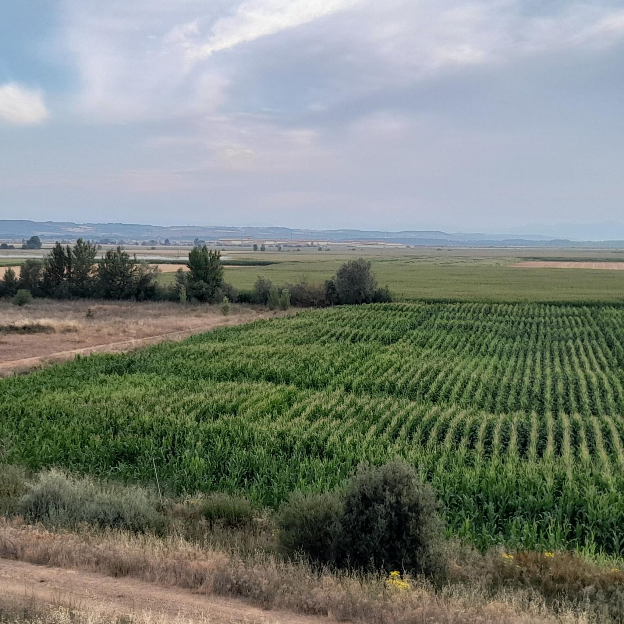
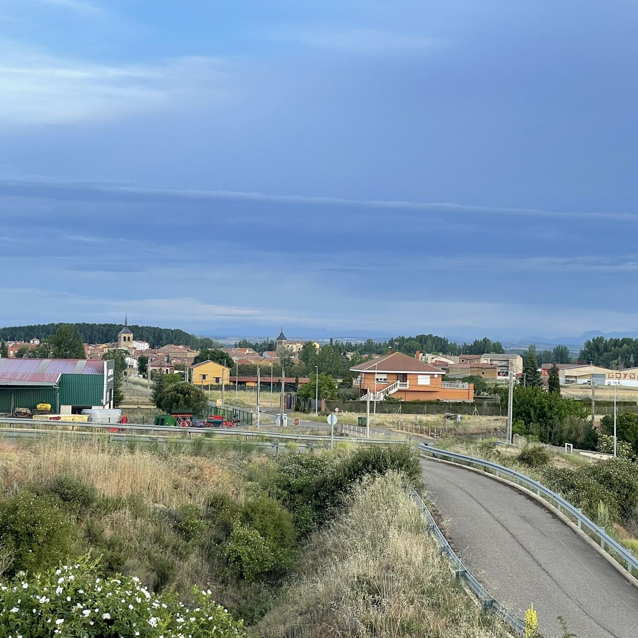
Hiking around Mansilla De Las Mulas offers a blend of historical exploration and natural landscapes. The region is characterized by the Esla and Porma rivers, with trails often crossing impressive bridges and following their banks. Surrounding areas feature agricultural fields of corn and sunflowers, providing a rural Spanish backdrop. Distant mountain chains are visible, adding to the broader scenic context, while some routes pass through wooded sections and past ancient sites like the City Walls of Mansilla de las Mulas.
Best hiking trails around Mansilla De Las Mulas
- The most popular hiking route is Villafañe-Lancia PRC-LE 66 Trail, a 3.8 miles (6.1 km) trail that takes 1 hour 41 minutes to complete. This easy route explores the historical area of the Ancient City of Lancia.
- Another top favourite among local hikers is Ancient City of Lancia loop from Villafañe, a moderate 7.9 miles (12.8 km) path. This route offers views over the ancient ruins and surrounding countryside.
- Local hikers also love the Mansilla de las Mulas — circular by Camino Vadiniense, an 8.1 miles (13.0 km) trail leading through agricultural landscapes and along sections of the Camino Vadiniense, often completed in about 3 hours 17 minutes.
- Hiking around Mansilla De Las Mulas is defined by river paths, agricultural fields, and historical landmarks. The network offers options for different ability levels, from easy walks to more challenging routes.
- The routes in Mansilla De Las Mulas are highly rated by the komoot community with an average score of 3.9 stars from over 30 reviews. More than 200 hikers have used komoot to explore Mansilla De Las Mulas's varied terrain.
Last updated: October 11, 2026
3.0
(1)
3
hikers
6.14km
01:41
100m
100m
Easy hike. Great for any fitness level. Easily-accessible paths. Suitable for all skill levels.
1
hikers
13.0km
03:17
30m
30m
Moderate hike. Good fitness required. Easily-accessible paths. Suitable for all skill levels.

4.5
(6)
27
hikers
Hard hike. Very good fitness required. Easily-accessible paths. Suitable for all skill levels.
5.0
(1)
10
hikers
12.1km
03:03
20m
20m
Moderate hike. Good fitness required. Easily-accessible paths. Suitable for all skill levels.
2
hikers
12.8km
03:25
140m
140m
Moderate hike. Good fitness required. Easily-accessible paths. Suitable for all skill levels.
Get access to more routes and recommendations from other explorers.
Already have an account?
Our route recommendations are based on thousands of hikes, rides, and runs completed by other people on komoot.
Start today with a free account
Your next adventure awaits.
Tips from the Community


The old city wall of Mansilla de las Mulas (also called Mansilla de los Muros), is an impressive example of medieval fortifications. These walls probably date from before 1181, the time of the repopulation under King Ferdinand II. The walls are built of limestone and rock, and are topped with battlements. Some parts of the wall are more than 14 metres high and up to three metres thick. Of the four original gates, the gate of Santa María or de Concepción is still completely preserved. There are six semicircular towers and a square tower that are still visible.
3
0

At this point you can still see the old city wall very impressively.
2
1

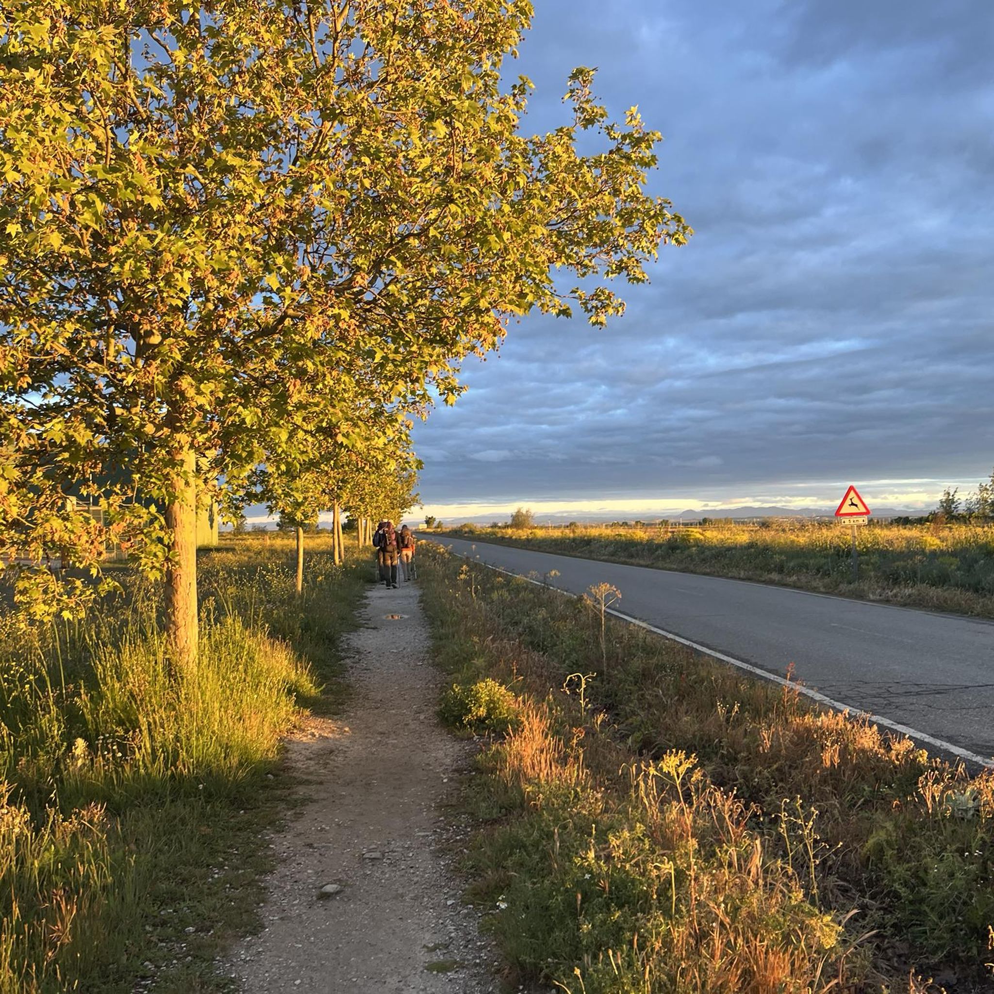
Signage on the Camino de Santiago is essential for pilgrims. Yellow arrows: These arrows will guide you throughout the entire route. They indicate the direction to follow, especially at crossroads. The yellow color is due to the contribution of the parish priest Elías Valiña, a key figure in the resurgence of the Camino de Santiago in the 20th century. Cairns or milestones: These concrete blocks include an arrow, a yellow shell on a blue background and the distance in kilometers to Santiago de Compostela. You will find them every 500 meters in Galicia. Scallop shells: In addition to being drawn on the markers, scallop shells are distributed throughout the Camino. They are universal symbols and have been carried by pilgrims for centuries. The open part of the shell indicates the direction towards Santiago. Good way! 🚶♂️🌟
1
0

One of the many bridges that need to be crossed, not all of them physical, when walking the camino
1
0
Well-preserved part of the old city wall
1
0

A small dam that regulates the waters of the Esla river and diverts some to ditches. You can walk along the dam to cross the river to the other side.
3
0
Frequently Asked Questions
How many hiking trails are available around Mansilla de las Mulas?
There are 8 hiking trails available around Mansilla de las Mulas, offering a range of experiences from easy walks to more challenging routes.
What kind of landscapes can I expect to see while hiking near Mansilla de las Mulas?
Hiking around Mansilla de las Mulas offers a blend of historical exploration and natural landscapes. You'll encounter trails along the Esla and Porma rivers, often crossing impressive bridges like the Puente de Villarente. The surrounding areas feature agricultural fields of corn and sunflowers, providing a typical rural Spanish backdrop. Distant mountain chains are visible, and some routes pass through shady wooded sections.
What is the general difficulty level of hikes in this region?
The hiking trails around Mansilla de las Mulas cater to various abilities. You'll find 1 easy route, 5 moderate routes, and 2 more difficult options, ensuring there's something for every hiker.
Are there any family-friendly hiking options in Mansilla de las Mulas?
Yes, for families looking for an easier walk, the Villafañe-Lancia PRC-LE 66 Trail is an excellent choice. This easy 6.1 km route explores the historical area of the Ancient City of Lancia and is generally completed in under two hours.
Can I find circular hiking routes around Mansilla de las Mulas?
Yes, there are circular routes available. A popular option is the Mansilla de las Mulas — circular by Camino Vadiniense. This 13 km trail leads through agricultural landscapes and along sections of the Camino Vadiniense, typically taking about 3 hours and 17 minutes to complete.
Are there historical sites or landmarks to explore on hikes near Mansilla de las Mulas?
Absolutely. The region is rich in history. You can hike through the ancient ruins of the City of Lancia on routes like the Ancient City of Lancia loop from Villafañe. The historic City Walls of Mansilla de las Mulas, dating back to before 1181, are also an impressive sight. Additionally, a short detour from the Camino allows you to visit the ruins of the magnificent Cistercian Monastery of Santa María de Sandoval.
What do other hikers enjoy the most about hiking in Mansilla de las Mulas?
The hiking routes in Mansilla de las Mulas are highly rated by the komoot community, with an average score of 3.9 stars from over 30 reviews. Hikers often praise the blend of historical exploration, such as the Ancient City of Lancia, and the serene river paths and agricultural landscapes that define the region.
Are there any trails that pass by unique natural features?
Yes, the area features the confluence of the Esla and Porma rivers, with trails often crossing impressive bridges. You can also find the Reliegos Meteorite Impact Site, a unique natural monument, along some routes in the vicinity.
What is the best time of year to go hiking in Mansilla de las Mulas?
While the region can be hiked year-round, spring and autumn generally offer the most pleasant conditions with milder temperatures and vibrant landscapes. Summer can be warm, especially in the open agricultural areas, while winter might bring cooler temperatures, but trails remain accessible.
Are there any longer, more challenging hikes available?
For those seeking a longer challenge, the route El Burgo Ranero – Earth Houses of Reliegos loop from Fuente del Piojo is a difficult 28 km trail. This route offers an extended exploration of the area, including the unique 'Earth Houses' of Reliegos.
Are there options for parking near the trailheads?
Mansilla de las Mulas is a well-established stop on the Camino de Santiago, and as such, parking is generally available within the town or near popular starting points for local routes. Specific parking details can often be found on individual route pages or local tourist information.
Can I reach the hiking areas using public transport?
Mansilla de las Mulas is accessible by public transport, particularly bus services connecting it to larger cities like León. This makes it feasible to reach the town and access various trailheads, especially those that start directly from the town center or nearby villages.
Most popular routes around Mansilla De Las Mulas
Most popular attractions around Mansilla De Las Mulas

Get inspired with the komoot mobile app


Explore more
Browse the best Hikes in other regions.
