The best road cycling routes around Puurijärven ja Isosuon kansallispuisto
5.0
(1)
25
riders
6
rides
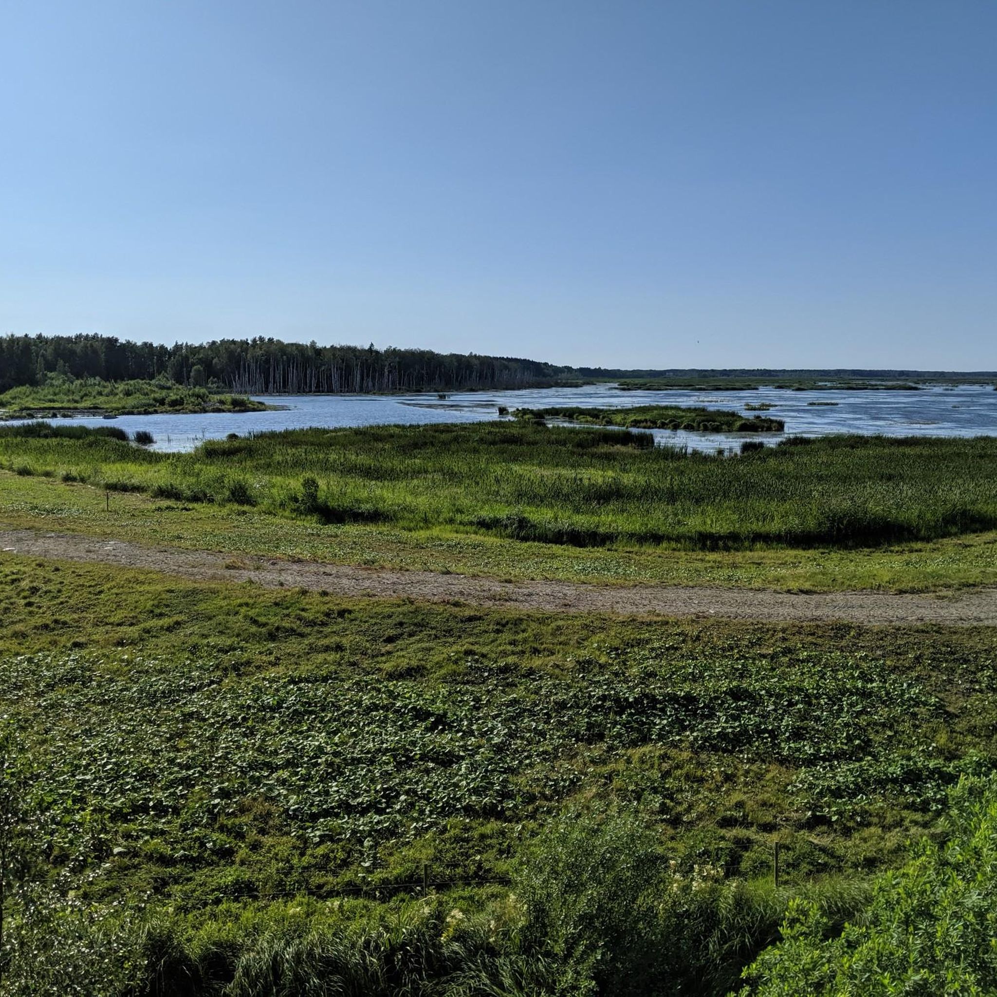
Road cycling routes around Puurijärven ja Isosuon kansallispuisto traverse a landscape characterized by bird-rich wetlands, extensive mires, and traditional cultural sites in the Satakunta region of Finland. The area features relatively flat terrain, with gentle elevation changes, making it suitable for various fitness levels. Cyclists can expect routes that follow established roads, offering views of the natural environment and agricultural areas. The region is defined by its unique wetland ecosystems and the presence of the Kokemäenjoki and Ala-Kauvatsanjoki rivers.
Best…
Last updated: July 12, 2026
2
riders
68.9km
03:20
210m
210m
Moderate road ride. Good fitness required. Some segments of this route may be unpaved and difficult to ride.
5
riders
26.1km
01:07
80m
80m
Easy road ride. Great for any fitness level. Mostly well-paved surfaces and easy to ride.

Sign up for free
8
riders
112km
04:54
470m
470m
Moderate road ride. Good fitness required. Mostly well-paved surfaces and easy to ride.
5.0
(1)
5
riders
109km
04:36
480m
480m
Moderate road ride. Good fitness required. Some segments of this route may be unpaved and difficult to ride.
5
riders
90.8km
03:58
290m
290m
Moderate road ride. Good fitness required. Mostly well-paved surfaces and easy to ride.
Our route recommendations are based on thousands of hikes, rides, and runs completed by other people on komoot.
Start today with a free account
Your next adventure awaits.
Login or Signup
Popular around Puurijärven ja Isosuon kansallispuisto
Tips from the Community

Beautiful old house just off the road. Check the opening times from https://m.facebook.com/kahvilakaneli/
0
0
A beautiful old building, makes for a nice coffee stop during the summer. Check the opening hours from: https://m.facebook.com/kahvilakaneli/
1
0

The Kokemäenjoki, also known as the Kokemäki River, stretches approximately 121 kilometres from its source at Lake Liekovesi in the Pirkanmaa region to its mouth at the Gulf of Bothnia near Pori in the Satakunta region.
0
0

Summer garden cafe Hiidenkolo is open in summer and sell for example freshly picked berries and vegetables and the produce from local farmers besides other cafe products.
0
0


not much traffic, almost flat through the fields, okay asphalt
0
0
not much traffic, gently rolling through the woods, okay asphalt
0
0
nice quiet side road, almost flat, asphalt old but okay
0
0
Frequently Asked Questions
What kind of terrain can I expect on road cycling routes around Puurijärven ja Isosuon kansallispuisto?
The road cycling routes in this region generally feature relatively flat terrain with gentle elevation changes. You'll primarily ride on established roads, offering views of the bird-rich wetlands, extensive mires, and traditional cultural landscapes of Satakunta. While most surfaces are well-paved, some longer routes may include unpaved segments, requiring good fitness.
Are there routes suitable for beginners or those looking for an easy ride?
Yes, there is at least one easy road cycling route available. For instance, the Kokemäenjoki river loop from Huittinen is an easy 16.2-mile (26.1 km) path, offering scenic views along the river.
What natural features or landmarks can I see while road cycling in the area?
The region is known for its unique wetland ecosystems, including the bird-rich Lake Puurijärvi and the extensive Isosuo mires. You'll also encounter the cultural landscape of Satakunta, with traditional agricultural areas. While the core national park has birdwatching towers and duckboards for hikers, the surrounding road routes offer glimpses of these natural wonders and the Kokemäenjoki and Ala-Kauvatsanjoki rivers.
What is the best time of year for road cycling around Puurijärven ja Isosuon kansallispuisto?
The best time for road cycling is typically during the warmer months, from spring to autumn, when the roads are clear of snow and ice. Spring and autumn are particularly good for birdwatching, as the park serves as a crucial resting place for migratory birds.
Are there any long-distance road cycling routes available?
Yes, there are several longer routes for more experienced cyclists. For example, the Kostilantie Road – Kanteenmaantie loop from Huittinen is a substantial 69.8-mile (112.3 km) trail, and the Kostilantie Road – Sormikivi loop from Huittinen covers 67.5 miles (108.7 km).
What do other road cyclists enjoy most about the routes here?
The routes around Puurijärven ja Isosuon kansallispuisto are highly rated by the komoot community, with an average score of 5.0 stars. Cyclists often appreciate the diverse natural setting, the bird-rich wetlands, and the opportunity to experience the cultural landscape of Satakunta.
Are there any loop routes for road cycling?
Yes, many of the road cycling routes in the area are designed as loops, allowing you to start and end at the same point. Examples include the Smooth Forest Road – Kauvatsantie Road loop from Perkolanmäki and the Kokemäenjoki river loop from Huittinen.
Can I spot wildlife while road cycling in the region?
While road cycling primarily takes place on roads surrounding the national park, the area is renowned for its rich birdlife, especially around Lake Puurijärvi. You might spot various bird species, including Whooper Swans and cranes, particularly during migration seasons. Mammals like moose, roe deer, and red fox also inhabit the wider park area.
Are there options for family-friendly road cycling?
For families, easier and shorter routes are generally more suitable. The Kokemäenjoki river loop from Huittinen, being an easy 16.2-mile (26.1 km) path, could be a good option for families looking for a less strenuous ride.
What are the typical road conditions like?
The road cycling routes primarily follow established roads, which are generally well-paved. However, some longer or more remote routes may include unpaved sections. It's always advisable to check current local conditions, especially during spring and autumn, when weather can affect road surfaces.
Are there any facilities like cafes or accommodation near the cycling routes?
The region is part of the cultural landscape of Satakunta, with towns like Huittinen nearby. While specific cyclist-friendly cafes or accommodations are not detailed, these towns would be the best places to look for services. For general information about the area, you might find resources on Visit Finland.
How many road cycling routes are there in total around Puurijärven ja Isosuon kansallispuisto?
There are at least 6 road cycling routes documented around Puurijärven ja Isosuon kansallispuisto, offering a range of distances and difficulties for cyclists.
Most popular routes around Puurijärven ja Isosuon kansallispuisto

Get inspired with the komoot mobile app


Explore more
Browse the best Road cycling routes in other regions.
