The best running trails around Sagra
4.3
(74)
3,004
runners
213
runs
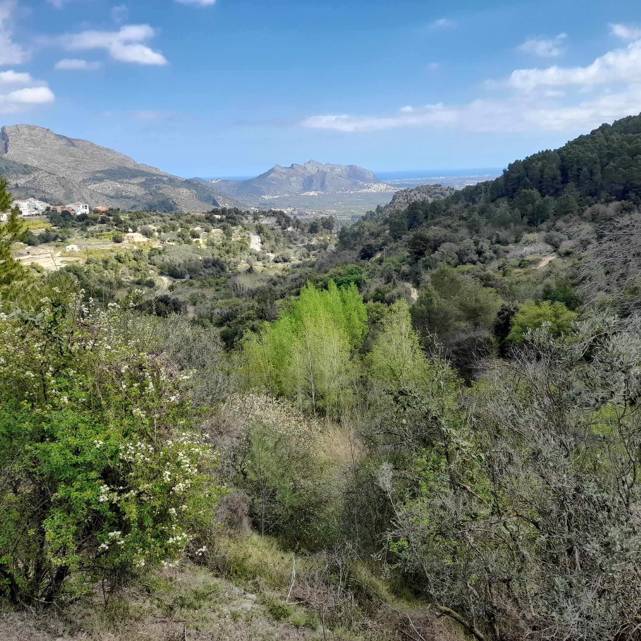
Jogging around Sagra offers a diverse landscape characterized by mountainous terrain and varied ecosystems. The region features dramatic ascents and descents, transitioning from open, almost steppe-like areas to dense pine and oak forests. Joggers can explore paths that wind through valleys and provide panoramic views of the surrounding natural environment. This area provides a range of running trails suitable for different fitness levels.
Best jogging routes around Sagra
- The most popular jogging route is Serra de Segària PR-CV 415 Loop…
Last updated: August 18, 2026
31
runners
13.0km
02:16
670m
670m
Hard run. Very good fitness required. Sure-footedness, sturdy shoes and alpine experience required.
4.3
(4)
17
runners
5.67km
00:36
60m
60m
Moderate run. Good fitness required. Mostly paved surfaces. Suitable for all skill levels.

Sign up for free
4.7
(3)
14
runners
8.14km
00:59
270m
270m
Moderate run. Good fitness required. Mostly paved surfaces. Suitable for all skill levels.
10
runners
10.6km
01:06
90m
90m
Moderate run. Good fitness required. Mostly paved surfaces. Suitable for all skill levels.
7
runners
Moderate run. Good fitness required. Mostly paved surfaces. Suitable for all skill levels.
Get access to more routes and recommendations from other explorers.
Sign up for free
Already have an account?
Our route recommendations are based on thousands of hikes, rides, and runs completed by other people on komoot.
Start today with a free account
Your next adventure awaits.
Login or Signup

Tips from the Community

In the Marjal Pego-Oliva Natural Park, there isn't a single, monumental, abandoned dam, but there are several historical hydraulic structures, both active and disused, that regulated the water supply for rice cultivation. The most notable of these is located on the route to the area known as Parà de Sant Pere. It is a narrow bridge over the Bullent River, with built-in sluice gates (iron or wooden doors) traditionally used to regulate the flow and divert water to the rice paddies.
3
0

An approximately 1 km long area within the Sierra Segaria, which contains various caves - the Cova Fosca is of course the largest, most famous, and most spectacular!
1
0

The Puerto de Sorell is a quiet and under-the-radar ridge climb in the northern Costa Blanca, linking Pego and Ràfol d’Almúnia via the CV‑728. It’s not long, not high — but it’s a perfect connector on a peaceful inland loop. From Ràfol d’Almúnia, the climb is 2.7 km long at an average gradient of 3.1%. It’s a smooth, steady ascent through olive groves and farmland, ideal for keeping a light rhythm and soaking up the rural scenery. The road surface is good and traffic is almost nonexistent. From the Pego side, the climb is roughly the same length but considerably steeper, with sections reaching 6 to 8%. It’s a short but honest effort, and a nice little test when coming up from the coastal plain. The views are wide and open — toward the Segària range, the valley below, and even the sea in the distance. At the summit, you'll spot the blue "Puerto de Sorell – 170 m" sign, a modest but official col marker that makes the climb feel just a bit more special. From here, you can descend either way or continue inland toward Vall de Gallinera, Vall d’Ebo, or Coll de Rates. Puerto de Sorell is a local favourite: short, scenic, quiet — and perfect for linking bigger climbs on a longer ride.
2
1

short videos about hiking and cycling in area around Coll de Rates could be found on my YouTUBE Channel under following links: - https://www.youtube.com/watch?v=RiUgVTg041U (cycling) -https://www.youtube.com/watch?v=kfHMhDC-C0U (hiking)
0
0

really nice stretch of road with good asphalt
0
1
Short video about my hikes around this area could be found under the following links: https://www.youtube.com/watch?v=O44Xq6hudm8 https://www.youtube.com/watch?v=GWr6CrRNXL8 https://www.youtube.com/watch?v=v44NMToT9tA
1
0
Short video about sunrise taken from COVA FOSCA could be found under the following link:https://www.youtube.com/watch?v=GWr6CrRNXL8
1
0

A nice quiet climb with new road infrastructure. The descent on the north side starts on a smaller road, so beware in the hairpin corners.
2
1
Frequently Asked Questions
What types of running routes can I find in Sagra?
Sagra offers a wide variety of running routes, characterized by its mountainous terrain and diverse ecosystems. You'll find paths that transition from almost steppe-like areas to dense pine and oak forests, providing varied surfaces and scenic backdrops. The region features routes with dramatic ascents and descents, as well as more gentle paths through valleys, catering to different fitness levels.
Are there easy or beginner-friendly jogging routes in Sagra?
Yes, Sagra has options for beginners and those looking for easier runs. Out of over 180 routes, 14 are classified as easy. While specific easy routes are not detailed here, you can explore options like the Running loop from Orba, which is a moderate 3.5 miles (5.7 km) path with relatively low elevation gain, suitable for a quicker run.
What are the more challenging running trails like in Sagra?
For experienced runners seeking a challenge, Sagra's mountainous terrain provides demanding routes with significant elevation changes. An example is the Serra de Segària PR-CV 415 Loop, an 8.0 miles (13.0 km) trail with over 670 meters of elevation gain, offering a strenuous workout and rewarding views.
Can I find circular jogging routes in the Sagra region?
Yes, many of the running routes in Sagra are designed as loops, allowing you to start and finish at the same point. For instance, the Puerto de Sorell loop from Restaurante Bellavista Montepego is a 5.1 miles (8.1 km) trail that takes you through scenic mountainous surroundings in a circular fashion.
What kind of scenery and landmarks can I expect along the running trails?
Jogging in Sagra offers diverse scenery, from pine and oak forests to open, steppe-like landscapes. You'll encounter numerous elevated points and trails providing panoramic views of the mountainous surroundings and valleys. The region is also rich in historical and natural landmarks. You might pass by sites like the Castellet d'Orba Castle Ruins or the Penya Roja Summit, offering points of interest during your run.
Are there any running routes that pass through unique natural features?
Absolutely. The Sagra region is known for its rich biodiversity and varied landscapes. Some routes may take you through areas with contrasting vegetation, from dense forests to more arid zones. You might also find trails near natural formations like the Cave of the Skulls, offering a unique point of interest during your run.
What do other runners say about the trails in Sagra?
The running routes in Sagra are highly regarded by the komoot community, with an average rating of 4.5 stars from over 70 reviews. More than 2,700 runners have used komoot to explore the varied terrain, often praising the diverse landscapes, challenging ascents, and the opportunity to experience the region's natural beauty.
What is the best time of year for running in Sagra?
The Sierra de La Sagra's summits retain snow through autumn, winter, and early spring, offering a dramatic and ever-changing landscape. This suggests that spring and autumn might be ideal for running, with pleasant temperatures and vibrant scenery. Summer can be warm, while winter offers unique snowy vistas for those prepared for colder conditions.
Are there any running routes suitable for families?
While specific family-friendly routes from the guide data are not highlighted, the region research mentions routes like the 'Sendero del Barranco' as an easy option ideal for families, winding through lush trees and offering panoramic views. When choosing a route, look for those classified as 'easy' with minimal elevation gain, such as the Orange Groves loop from Orba, which is a moderate 5.3 miles (8.5 km) with gentle elevation.
Are there running routes that offer views of agricultural areas?
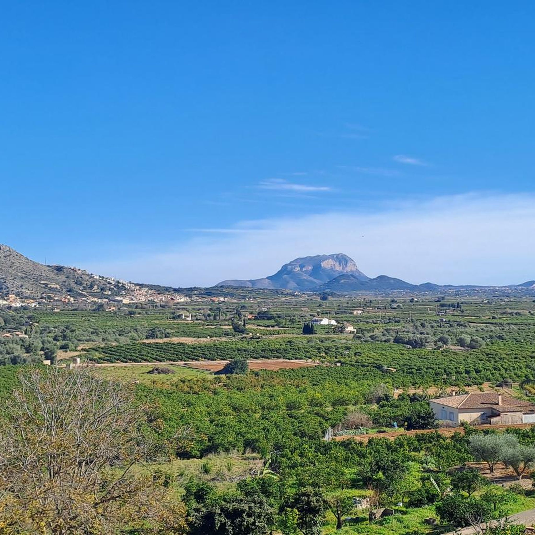
Yes, some routes in the Sagra region provide views of the local agricultural landscape. For example, the Tanques Llargues Rice Fields loop from Falda de la Lloma de Racons is a moderate 8.8 miles (14.2 km) route with minimal elevation, offering a different scenic experience through rice fields.
How many running routes are available in the Sagra area?
There are over 180 running routes available in the Sagra area, offering a wide range of options for different skill levels and preferences. This includes 14 easy routes, 119 moderate routes, and 48 difficult routes, ensuring there's something for every runner.
Most popular attractions around Sagra

Get inspired with the komoot mobile app


Explore more
Browse the best Running Trails & Routes in other regions.
