The best walks and hikes around Cintruénigo
4.6
(23)
166
hikers
11
hikes
Hiking around Cintruénigo reveals a landscape characterized by fertile agricultural lands, rolling hills, and significant riverine environments. The region features diverse ecosystems, including cultivated fields with vineyards and olive groves, alongside the prominent Onsella and Alhama Rivers. Hikers can explore wetlands and reservoirs such as La Estanquilla, which provide habitats for local flora and fauna. The terrain offers a mix of gentle paths through cultivated areas and more varied routes near river valleys.
Best hiking trails around Cintruénigo
- The most…
Last updated: July 9, 2026
4.4
(5)
61
hikers
11.0km
03:03
200m
200m
Moderate hike. Good fitness required. Easily-accessible paths. Suitable for all skill levels.
4.4
(5)
47
hikers
8.73km
02:24
140m
140m
Moderate hike. Good fitness required. Easily-accessible paths. Suitable for all skill levels.

Sign up for free
6
hikers
3.04km
00:47
10m
10m
Easy hike. Great for any fitness level. Easily-accessible paths. Suitable for all skill levels.
1
hikers
14.4km
04:06
330m
330m
Moderate hike. Good fitness required. Easily-accessible paths. Suitable for all skill levels.
13.1km
03:38
250m
250m
Moderate hike. Good fitness required. Easily-accessible paths. Suitable for all skill levels.
Get access to more routes and recommendations from other explorers.
Sign up for free
Already have an account?
Our route recommendations are based on thousands of hikes, rides, and runs completed by other people on komoot.
Start today with a free account
Your next adventure awaits.
Login or Signup

Tips from the Community

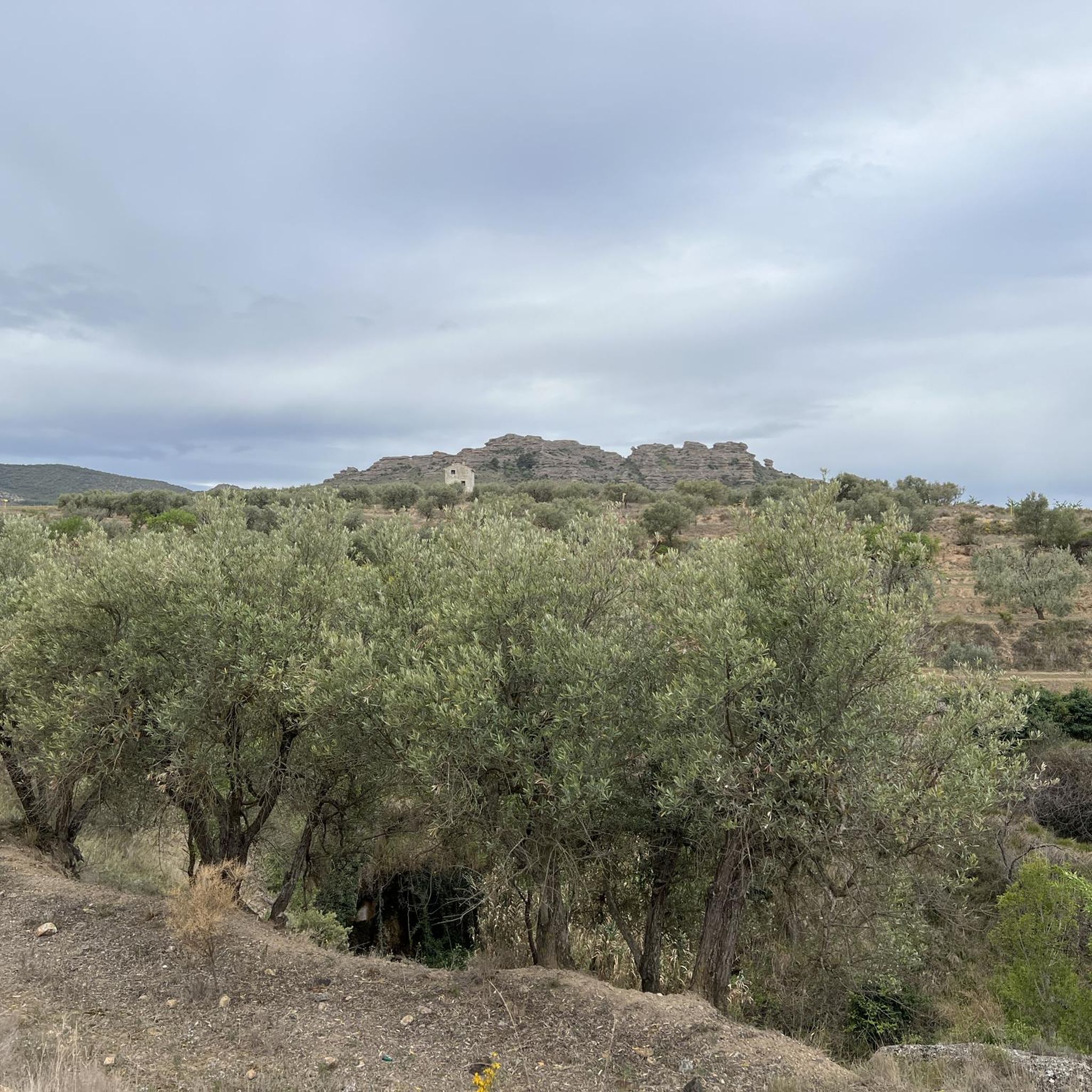
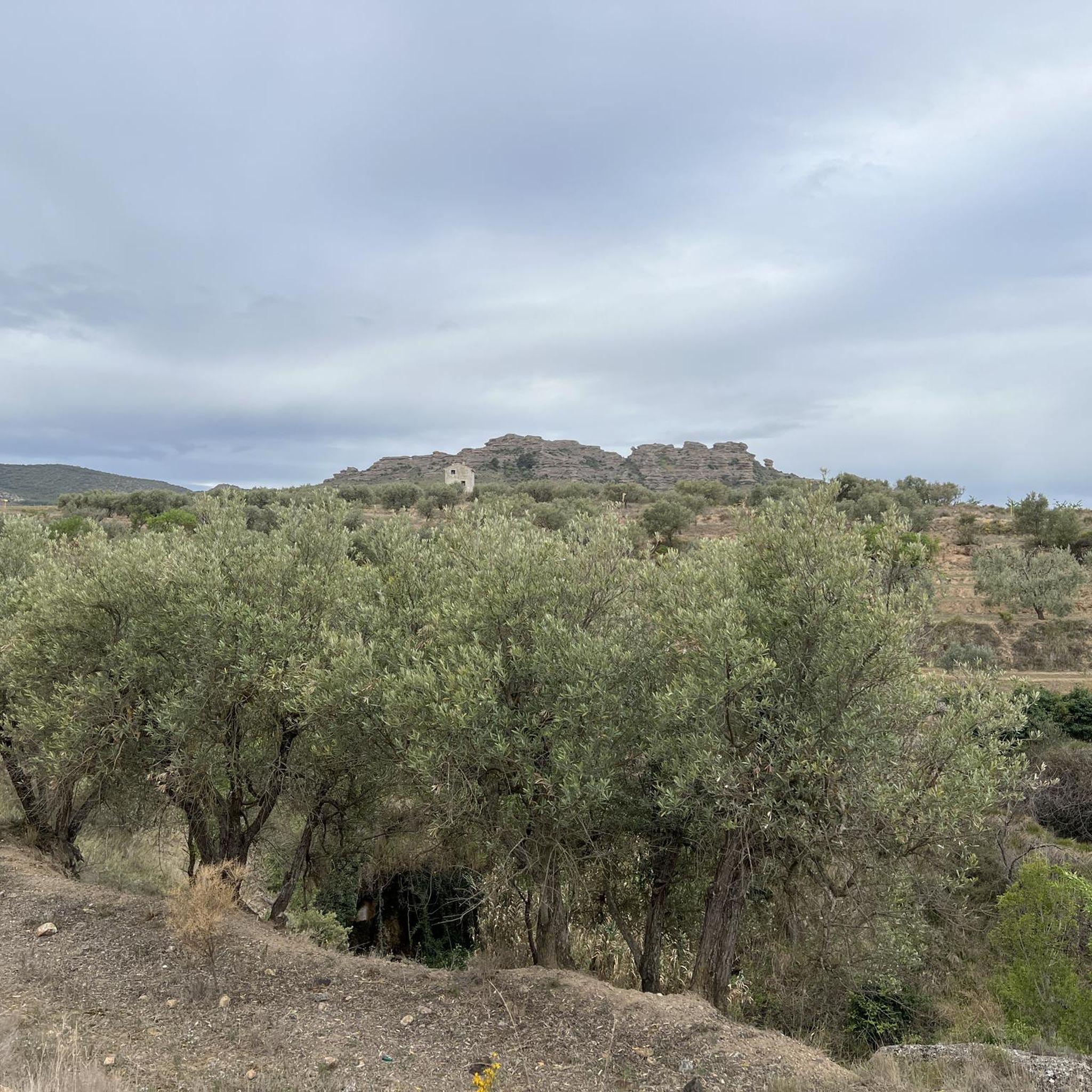
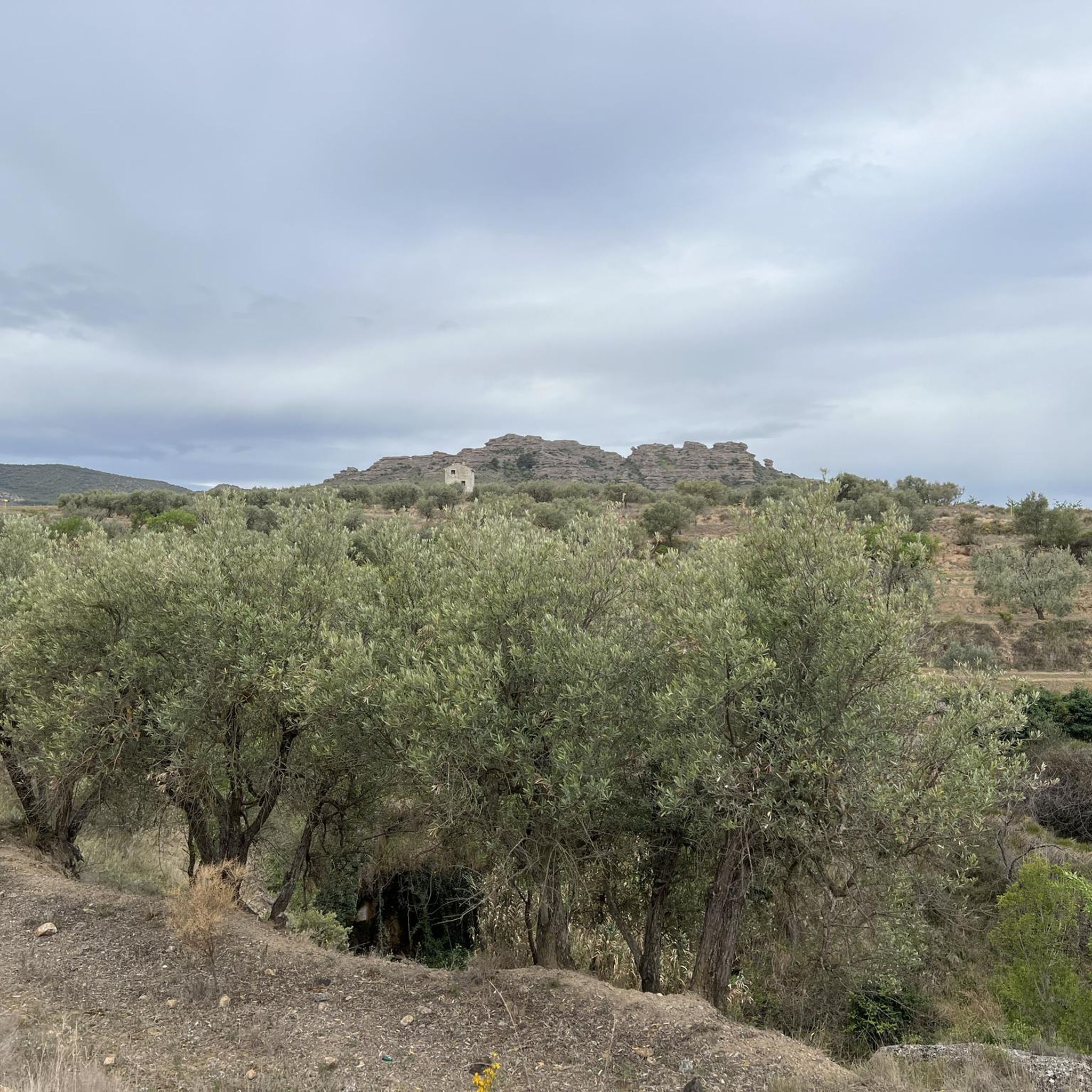
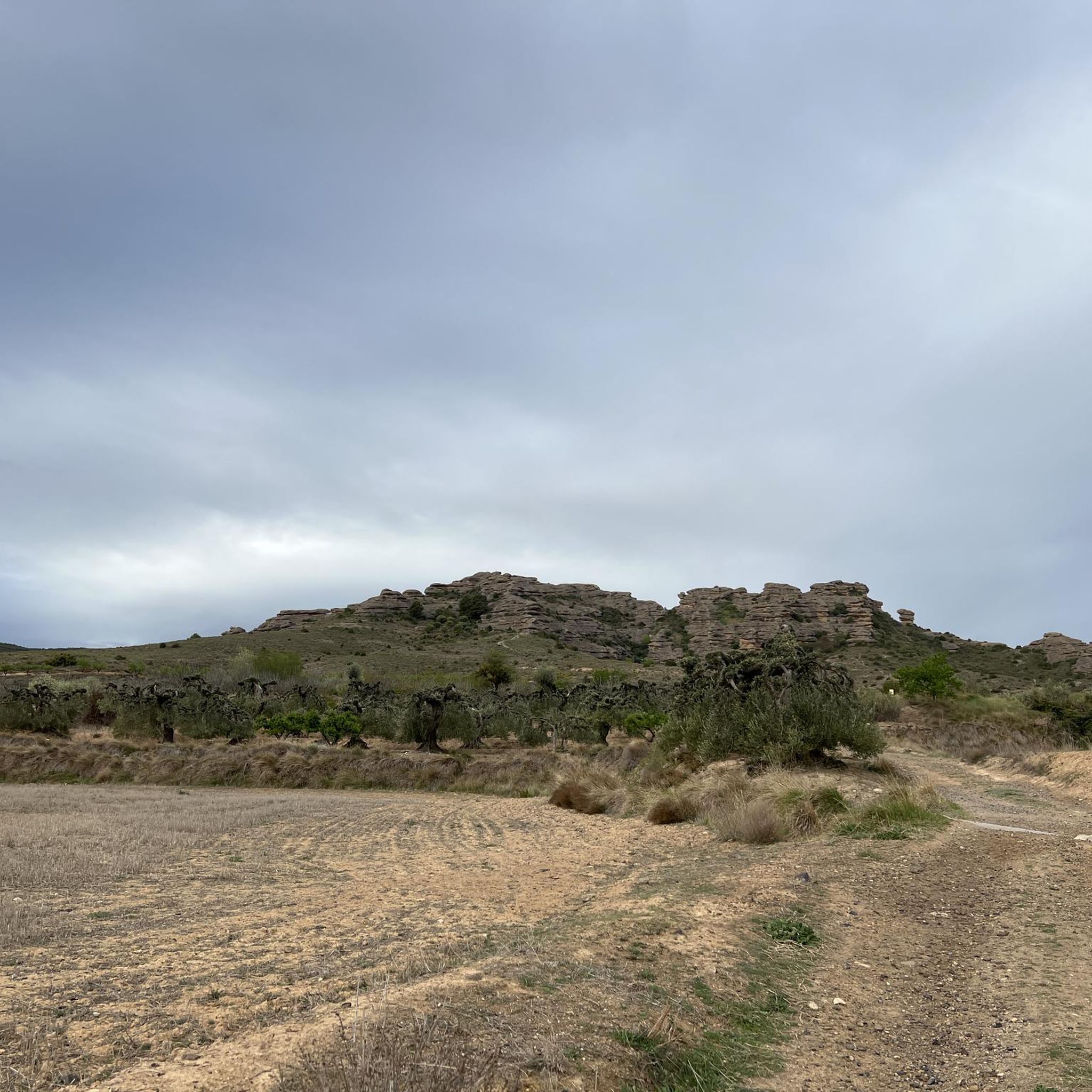
The main attraction of the route lies in the spectacular geomorphology of the massif, formed by conglomerates composed of a diverse range of blocks and boulders of varying sizes, known locally as "Las Roscas" (The Rings). The track that circles them is in excellent condition. Access to the base is possible. Be aware of any restrictions!
0
0
This is the cave that inspired Bécquer to write his legend "La Cueva de la Mora" (The Cave of the Moorish Woman), which tells a love story between a young Christian man and a young Moorish woman in this area. It is very easy to access and well signposted.
0
0

A refuge for numerous aquatic and steppe birds. This saline wetland also houses flora of great interest. The area is suitable for swimming and water activities.
0
0

Elevated space where there are good views and where it represents an old watchtower that had been located in this area of the mountain!
0
0

Valverde was located at the confluence of the kingdoms of Castilla, Navarra and Aragón. According to the legends, when the kings Sancho el Fuerte, Alfonso II el Casto and Alfonso VII met on one occasion to delimit the limits of their reigns, each one was sitting in his own kingdom.
1
0
Neighborhood with 15 inhabitants that belongs to the municipality of Cervera de Río Alhama. From here there is a very interesting path that takes you to the impressive Añamaza reservoir.
1
0

Impressive monastery, you can go around the entire perimeter.
2
0
Small section, by track, of the well-known Las Roscas Circuit.
3
0
Frequently Asked Questions
What kind of terrain can I expect on hiking trails around Cintruénigo?
The region around Cintruénigo offers a diverse landscape. You'll find fertile agricultural lands, rolling hills, and significant riverine environments along the Onsella and Alhama Rivers. Trails often pass through cultivated fields with vineyards and olive groves, as well as wetlands and reservoirs like La Estanquilla. The terrain varies from gentle paths in agricultural areas to more varied routes near river valleys and distinctive geological formations.
Are there any easy hiking routes suitable for beginners or casual walkers?
Yes, Cintruénigo offers several easy routes. For example, the Balsa de Pulguer Loop is an easy 3 km trail, perfect for a relaxed walk. In total, there are 4 easy routes available in the area, providing accessible options for all fitness levels.
What are some notable natural features or landmarks I can see while hiking?
Hikers can explore several interesting natural features and landmarks. The Las Roscas area is known for its distinctive rock formations, which you can experience on routes like the Las Roscas Circuit. The legendary Cueva de la Mora is also a significant natural attraction. Additionally, the region's wetlands and riverine landscapes, particularly along the Onsella and Alhama Rivers, offer opportunities for bird observation and enjoying diverse ecosystems.
Are there any circular hiking routes in Cintruénigo?
Yes, many routes around Cintruénigo are circular, allowing you to start and end at the same point. Popular options include the Las Roscas Circuit, a moderate 11 km loop, and the From Valverde to Valdegutur — circular, which is about 13 km. These circular trails provide varied scenery without needing to retrace your steps.
What is the best time of year to go hiking in Cintruénigo?
Cintruénigo experiences a continental Mediterranean climate, making spring and autumn ideal for hiking. During spring, the flora is vibrant and in bloom, while autumn offers striking colors across the landscape. The mild weather during these seasons provides comfortable conditions for exploration, avoiding the heat of summer or potential chill of winter.
What do other hikers say about the trails in Cintruénigo?
The hiking routes in Cintruénigo are highly regarded by the komoot community, with an average rating of 4.5 stars from over 24 reviews. Hikers often praise the varied terrain, from fertile fields to riverine landscapes, and the well-maintained paths that offer options for different ability levels. Over 150 hikers have already used komoot to explore the area's diverse trails.
Are there any historical sites or cultural points of interest along the trails?
Yes, some routes incorporate historical and cultural elements. The Cruz de la Atalaya Trail, for instance, leads through varied terrain with historical sites. Additionally, nearby attractions like St. Michael's Collegiate Church and the Abbatial Palace in the wider region offer glimpses into the area's rich heritage.
Are there longer, more challenging hiking options available?
While there are no routes classified as 'difficult' in our current selection, several moderate trails offer longer distances and more elevation gain. The Cruz de la Atalaya Trail is a moderate 14.4 km route, often taking over 4 hours to complete, with significant elevation changes. These routes provide a good challenge for those seeking a longer day out.
Can I find trails that offer panoramic views?
Yes, Cintruénigo's privileged location means many trails offer panoramic views. The region's rolling hills and higher points provide vistas stretching towards the Pyrenees. Routes like the Circuito de las Roscas – circular from Fitero via Camino del Soto offer views of the surrounding natural landscape and agricultural areas.
Are there opportunities for wildlife observation on the trails?
The diverse ecosystems around Cintruénigo, particularly the riverine landscapes of the Onsella and Alhama Rivers and the various wetlands and reservoirs (like La Estanquilla), provide excellent opportunities for wildlife observation. These areas are crucial habitats for a wide variety of flora and fauna, including migratory birds, making them ideal for nature enthusiasts and photographers.
How many hiking trails are available in the Cintruénigo area?
There are approximately 12 hiking trails available for exploration around Cintruénigo. These routes cater to various preferences, with 4 easy trails and 8 moderate trails, ensuring options for different fitness levels and interests.
Most popular routes around Cintruénigo
Most popular attractions around Cintruénigo

Get inspired with the komoot mobile app


Explore more
Browse the best Hikes in other regions.
