The best walks and hikes around Els Prats De Rei
4.3
(23)
249
hikers
63
hikes
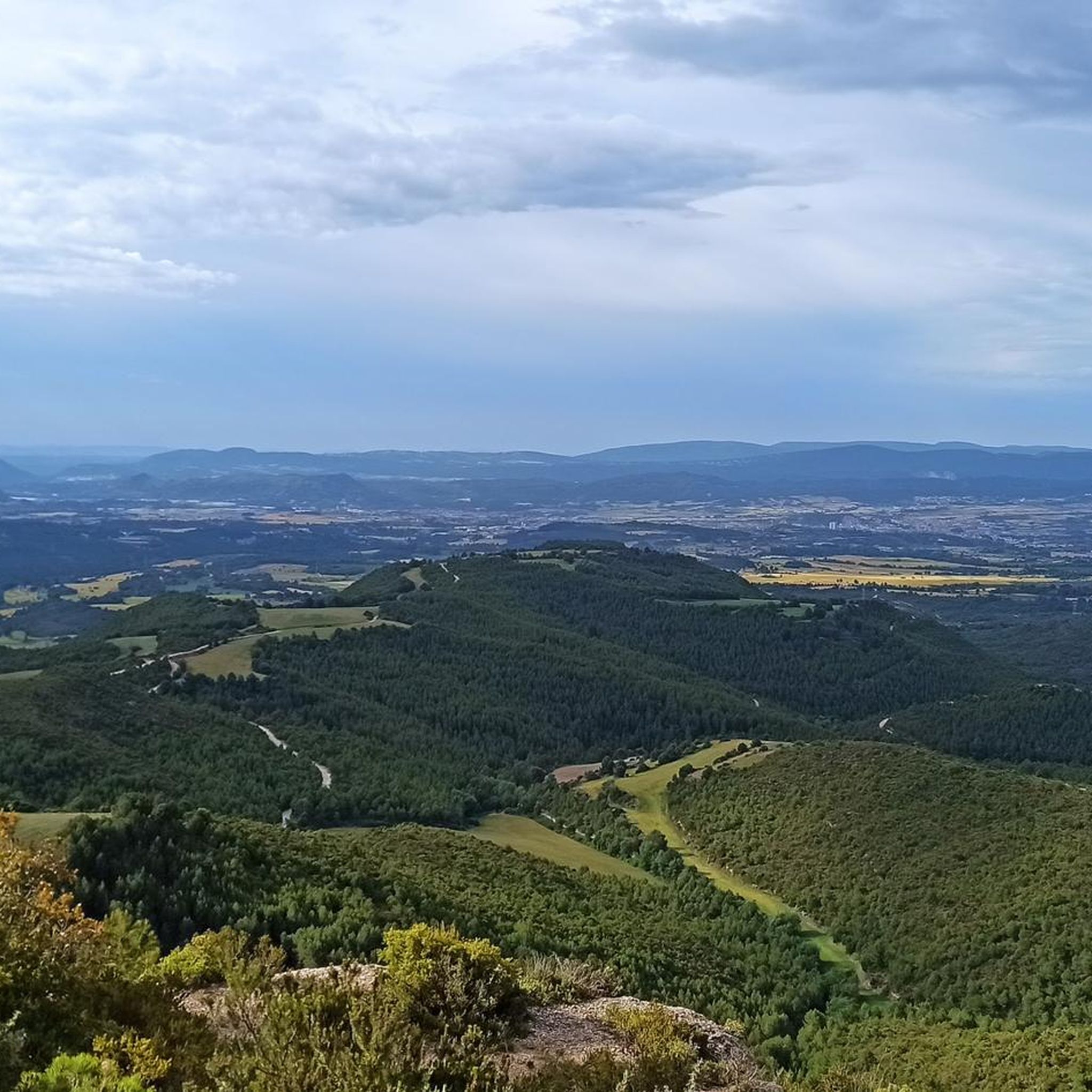
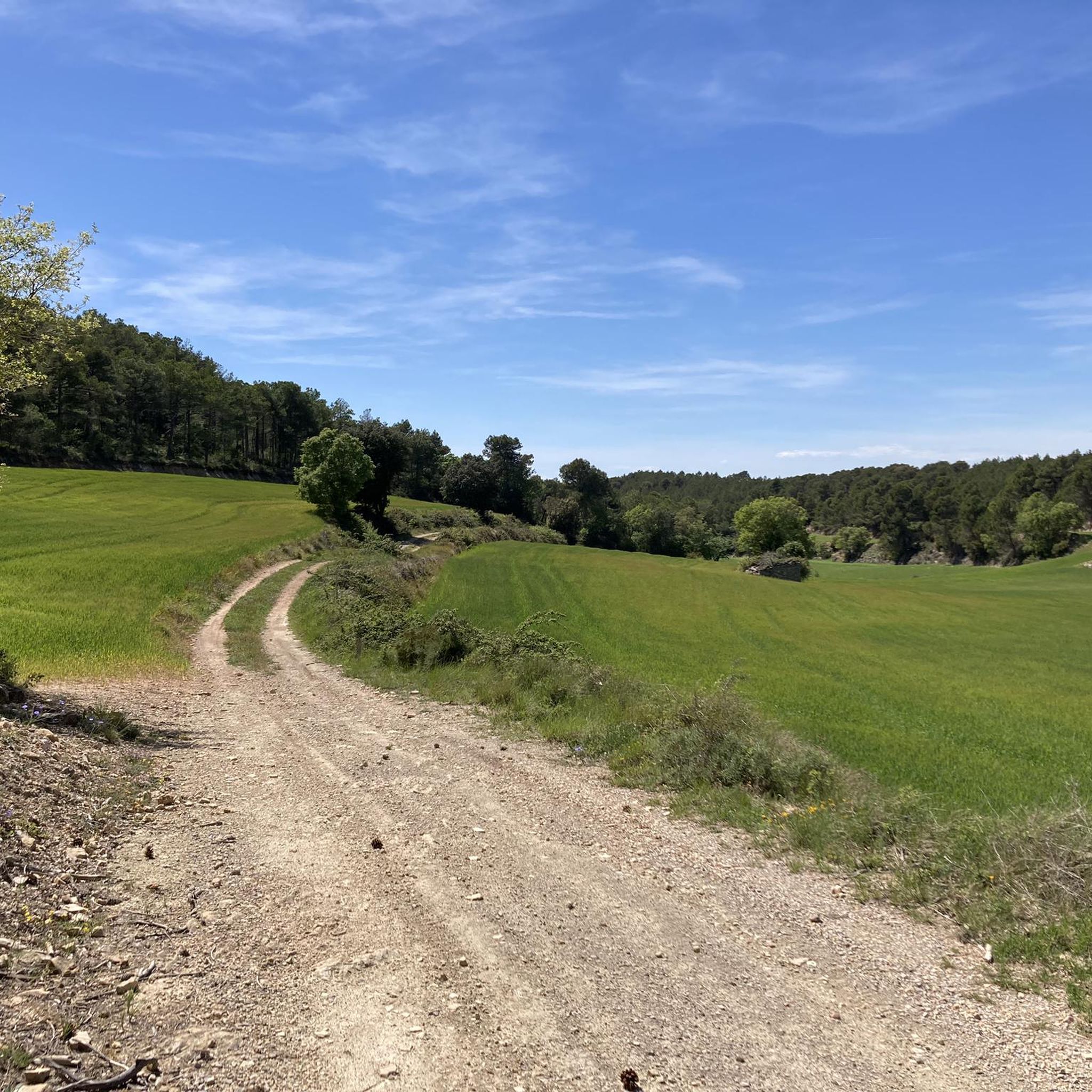
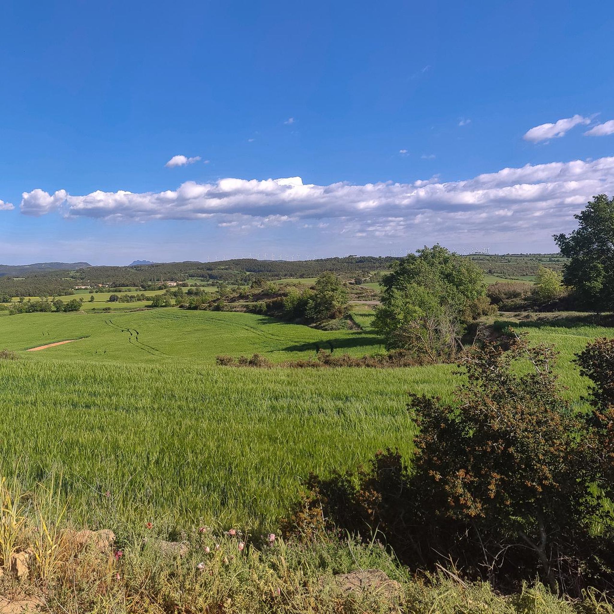
Hiking around Els Prats De Rei offers diverse landscapes within the Anoia region of Catalonia, Spain. The area features Segarrencs plateaus and a small valley carved by the young Anoia river, marking its position at one end of the Catalan Central Depression. Forests cover approximately 40% of the land, predominantly featuring white and black pines, along with smaller clusters of oaks and kermes oaks. This varied terrain provides numerous routes for exploration.
Best hiking trails around Els Prats De Rei
…Last updated: October 18, 2026
4
hikers
25.3km
06:57
420m
420m
Hard hike. Very good fitness required. Easily-accessible paths. Suitable for all skill levels.
3.3
(3)
26
hikers
6.84km
02:06
240m
230m
Moderate hike. Good fitness required. Easily-accessible paths. Suitable for all skill levels.

4.0
(1)
4
hikers
7.77km
02:17
220m
230m
Moderate hike. Good fitness required. Easily-accessible paths. Suitable for all skill levels.
6
hikers
6.77km
01:56
150m
150m
Easy hike. Great for any fitness level. Easily-accessible paths. Suitable for all skill levels.
5.0
(1)
4
hikers
Easy hike. Great for any fitness level. Easily-accessible paths. Suitable for all skill levels.
Get access to more routes and recommendations from other explorers.
Already have an account?
Our route recommendations are based on thousands of hikes, rides, and runs completed by other people on komoot.
Start today with a free account
Your next adventure awaits.

Tips from the Community

Good final climb, and very good views of the Ódena Basin
0
0

La Tallada is part of the center of Sant Guim de Freixenet and its church is one of the most beautiful elements in the area, called the Church of Sant Martí de la Tallada.
0
0
Freixenet is a municipality that is part of Sant Guim de Freixenet. The name Freixenet comes from the ash tree and one of the most important points is its church, Santa Maria de Freixenet de Segarra.
0
0
Within the municipality of Sant Guim de Freixenet is this church and town in general, which have the same name, called the Church of Santa Maria del Castell. Small, stone and Romanesque where it is located to the north of the same nucleus.
0
0
Small waterfall that is located in the same Rubió river and that collects the waters of the slopes of the nearby mountains.
0
0
From the top of Morrocurt or what is called the Costa de les Maioles, you can see views of the area and of Les Planes del Puig, near Rubió, to the north of the mountain.
0
0
El Puig de Sant Miquel is a mountain of more than seven hundred meters in the Serra de Rubió, the same name as the nearby town. Going down the south-west face stands the church of Sant Pere d'Ardesa and from both points you can see beautiful views of the area.
0
0
Small town located above the Serra de Cererols. In Rubió there is the church of Santa Maria and also an old castle, which, thanks to its elevated geographical location, allowed you to see the surrounding lands.
0
0
Frequently Asked Questions
How many hiking trails are available around Els Prats De Rei?
There are over 45 hiking routes in the Els Prats De Rei area, offering a wide range of options for different skill levels. This includes 10 easy trails, 31 moderate trails, and 5 more challenging routes.
What kind of terrain can I expect on hikes in Els Prats De Rei?
The hiking terrain around Els Prats De Rei is quite diverse. You'll encounter the distinctive Segarrencs plateaus, the valley carved by the young Anoia river, and extensive forests. These forests cover about 40% of the land, featuring white and black pines, as well as various types of oaks, providing scenic and varied paths.
Are there any easy, family-friendly hiking routes in the area?
Yes, there are several easy routes suitable for families. For instance, the Cogulló of Can Torra loop from Castellfollit del Boix is an easy 3.7 km hike, typically taking just over an hour. Another accessible option is the View of Castillo de Boixadors loop from Seguers - Sant Pere Sallavinera, which is 5.7 km and takes about 1 hour 40 minutes.
What are some notable landmarks or historical sites to see while hiking?
Beyond the natural landscapes, Els Prats De Rei has a rich historical past. You can explore its medieval streets and remnants of a Roman presence in the town's historical center. Specific attractions include Carrer de Baix, a charming part of the old fortified town, and Abat street. For those interested in castles, you might find highlights like Castell de Boixadors or Castell de Castellfollit near some routes.
Are there any circular hiking routes available?
Yes, many routes in the area are circular, offering convenient starting and ending points. A notable example is the Camino de la Marinada — circular desde Sant Guim de Freixenet, a longer, more challenging option. For moderate circular walks, consider the Puig de Sant Miquel – Old Church loop from Catalan as own language in Catalonia or The Middle Mill – Church of St. Magí loop from Copons.
What do other hikers say about the trails in Els Prats De Rei?
The hiking routes in Els Prats De Rei are highly regarded by the komoot community, with an average rating of 4.5 stars from over 16 reviews. More than 200 hikers have used komoot to explore the varied terrain, often praising the diverse landscapes and the options available for different ability levels.
What is the best time of year to go hiking in Els Prats De Rei?
Given its location in Catalonia, Els Prats De Rei generally offers pleasant hiking conditions for much of the year. Spring and autumn are often ideal, with milder temperatures and vibrant natural scenery. Summers can be warm, so early morning or late afternoon hikes are recommended, while winters are generally mild but can be cooler.
Are there any viewpoints or scenic spots along the trails?
The region's landscape, characterized by Segarrencs plateaus and river valleys, naturally offers many scenic spots. While specific named viewpoints are not detailed, routes that ascend to higher points, such as those near Puig de Sant Miquel or Cogulló of Can Torra, will provide expansive views of the surrounding countryside and forests.
Is public transport available to reach hiking trailheads in Els Prats De Rei?
While Els Prats De Rei is a rural municipality, public transport options might be limited directly to all trailheads. It's advisable to check local bus schedules for connections to the main town or nearby villages like Sant Guim de Freixenet or Copons, which serve as starting points for some popular routes. For ultimate flexibility, traveling by car is often recommended.
Are there any cafes or restaurants in Els Prats De Rei for after a hike?
Yes, the historical center of Els Prats De Rei, with its medieval streets, offers local establishments where you can find cafes and restaurants to relax and refuel after your hike. It's a good idea to check opening hours, especially outside of peak tourist seasons.
What kind of natural features define the hiking experience in this region?
The hiking experience in Els Prats De Rei is defined by its diverse natural features. You'll traverse the unique Segarrencs plateaus, follow the course of the young Anoia river through its valley, and hike through extensive forests. These forests, covering about 40% of the land, are predominantly made up of white and black pines, along with smaller clusters of oaks, kermes oaks, and evergreen oaks, creating a rich and varied natural environment.
Most popular routes around Els Prats De Rei
Most popular attractions around Els Prats De Rei

Get inspired with the komoot mobile app


Explore more
Browse the best Hikes in other regions.
