The best MTB trails around Prados Redondos
4.4
(7)
23
riders
10
rides
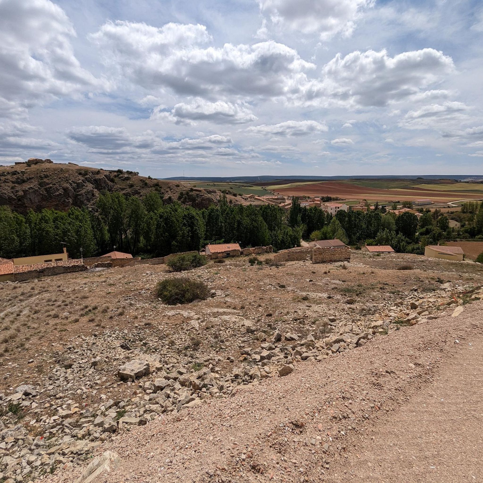
Mountain biking around Prados Redondos offers diverse terrain within the Molina-Alto Tajo Geopark, characterized by wide moors, deep canyons, and extensive river networks. The landscape features dense savin and pine forests, alongside unique red sandstone formations, providing varied natural environments for cycling. This region presents a mix of high altitudes and valleys, with trails carved through ancient rock layers.
Best mountain bike trails around Prados Redondos
- The most popular mountain bike trail is GR 160 - Camino del Cid BTT:…
Last updated: June 28, 2026
66.0km
06:06
1,050m
1,050m
Hard mountain bike ride. Very good fitness required. Advanced riding skills necessary.
Hard mountain bike ride. Very good fitness required. Advanced riding skills necessary.

Sign up for free
5.0
(1)
5
riders
58.4km
05:08
970m
970m
Hard mountain bike ride. Very good fitness required. Advanced riding skills necessary.
4.0
(1)
2
riders
16.5km
01:25
250m
250m
Moderate mountain bike ride. Great for any fitness level. Advanced riding skills necessary.
5.0
(2)
2
riders
23.9km
01:54
320m
320m
Moderate mountain bike ride. Good fitness required. Advanced riding skills necessary.
Get access to more routes and recommendations from other explorers.
Sign up for free
Already have an account?
Our route recommendations are based on thousands of hikes, rides, and runs completed by other people on komoot.
Start today with a free account
Your next adventure awaits.
Login or Signup
Popular around Prados Redondos
Tips from the Community

A recommended area for walking.
0
0

Tighten when you're fresh and loosen when you get tired
0
0

Hospedería Virgen de la Hoz is a charming rural accommodation. This place offers a peaceful and natural setting, ideal for relaxing and enjoying outdoor activities such as hiking, cycling and bird watching. The inn has cosy and well-equipped rooms, a restaurant serving delicious à la carte dishes, and a terrace for relaxing. In addition, guests can enjoy Wi-Fi in public areas.
11
0

walk paris les tangs this variety of stinging fly
0
0

In Molina we have everything: accommodation, shops, pharmacy. Good place to refuel
1
0

The Sanctuary of Our Lady of La Hoz is an extraordinary place for its landscape and religiosity. Beauty, Shadow, water, freshness, nature and Meditation.
1
0
The Barranco de La Hoz is a wonder of nature. From its viewpoint you can see an extraordinary landscape.
1
0
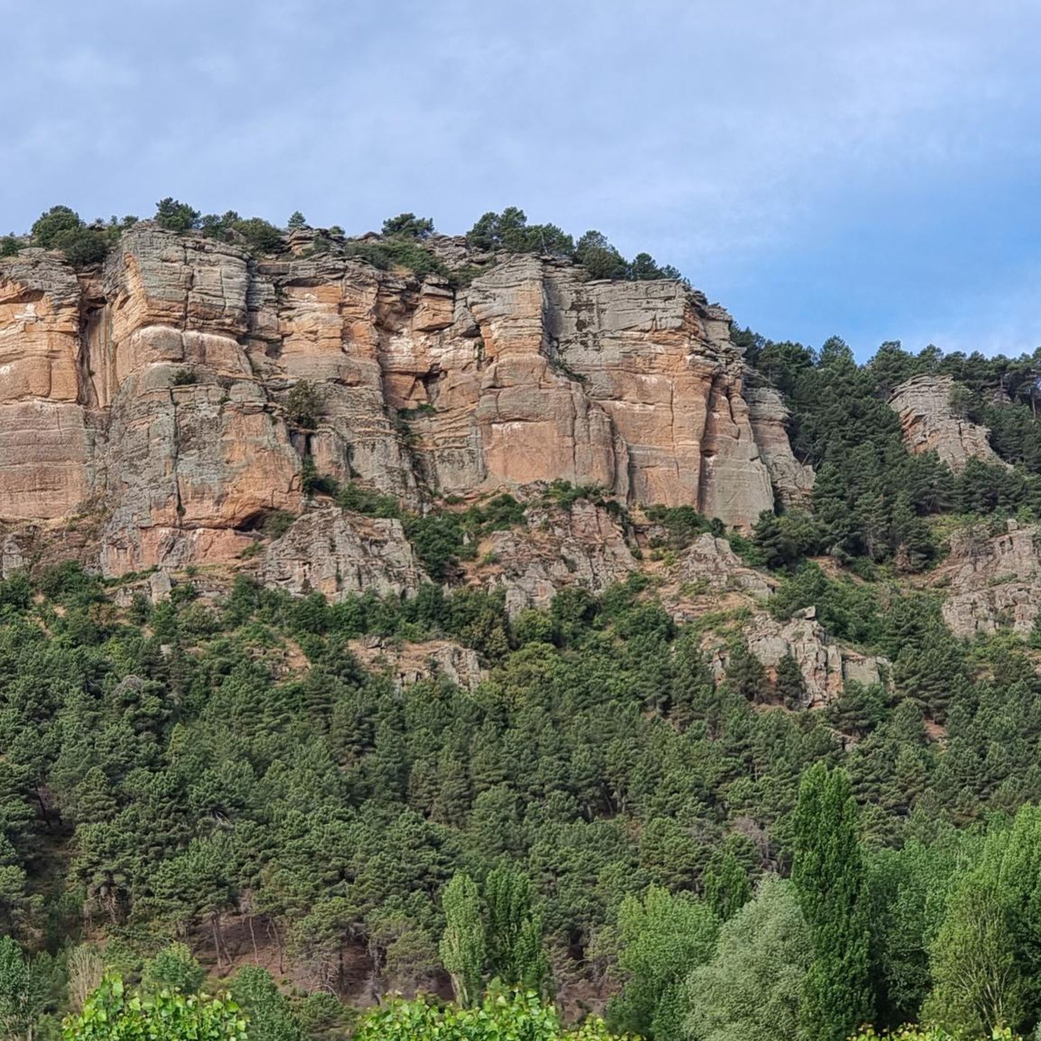
The Barranco de la Hoz, also known as Barranco de la Virgen de la Hoz, is a magical enclave in the province of Guadalajara, within the Alto Tajo Natural Park. This place, carved over the centuries by the Gallo River, presents a spectacular reddish canyon, one of the most beautiful in the Iberian Peninsula and the most visited in the Alto Tajo region. Here, legends and nature intermingle to create a landscape with a unique magic. Barranco de la Hoz is located just 15 kilometers from Molina de Aragón, between Corduente and Ventosa.
7
0
Frequently Asked Questions
What kind of terrain can I expect on mountain bike trails around Prados Redondos?
The terrain around Prados Redondos, within the Molina-Alto Tajo Geopark, is incredibly diverse. You'll encounter wide moors, deep canyons, and extensive river networks. Trails often traverse dense savin and pine forests, and you might also see unique red sandstone formations. The region features a mix of high altitudes and valleys, with routes carved through ancient rock layers, offering varied surfaces from flowing paths to sections with steep climbs, rocks, and roots.
Are there mountain bike trails suitable for different skill levels in Prados Redondos?
Yes, Prados Redondos offers a range of mountain bike trails catering to various skill levels. You can find routes classified as easy, moderate, and difficult. For instance, there are 5 moderate trails and 3 difficult trails, ensuring options for both experienced riders and those looking for a more relaxed ride.
What are some notable natural features or landmarks to look out for while mountain biking in this region?
The Molina-Alto Tajo Geopark is rich in natural beauty. You can expect to see spectacular canyons and gorges carved by rivers like the Gallo and Tagus, dense savin and pine forests, and unique red sandstone rock formations, particularly in areas like Chequilla. The region's geological history is evident throughout, offering stunning scenery.
Are there any circular mountain bike routes available around Prados Redondos?
Yes, several circular routes are available. For example, the GR 160 - Camino del Cid BTT: Sierra de Caldereros Loop is a difficult 41.0-mile (66.0 km) circular trail. Another option is the Natural Park of Alto Tajo – circular from Molina de Aragón to La Hoz del río Gallo via the Camino del Cid, a difficult 25.6-mile (41.2 km) path. There's also the Molina de Aragón – View of Barranco de la Hoz loop from Molina de Aragón, which is 36.5 miles (58.7 km) long.
What do other mountain bikers say about the trails in Prados Redondos?
The mountain bike routes in Prados Redondos are highly rated by the komoot community, with an average score of 4.5 stars from several reviews. Riders often praise the varied terrain, the stunning natural scenery of the Molina-Alto Tajo Geopark, and the opportunity to explore deep canyons and extensive forests.
What is the best time of year to go mountain biking in Prados Redondos?
The region experiences significant contrasts between high altitudes and valleys. While specific recommendations depend on personal preference, spring and autumn generally offer pleasant temperatures and vibrant landscapes. Summers can be hot, especially in the valleys, while winters might bring colder conditions, particularly at higher elevations like Pico del Lobo (2,273 meters) in the nearby Sierra Norte de Guadalajara.
Are there any family-friendly mountain bike trails around Prados Redondos?
While many trails in the region are moderate to difficult, there is at least one easy mountain bike trail available. For families, it's advisable to look for routes with less elevation gain and smoother paths. The extensive network of 'Georoutes' within the Molina-Alto Tajo Geopark might offer suitable options, often starting or ending in towns with services.
Can I bring my dog on the mountain bike trails in Prados Redondos?
The Molina-Alto Tajo Geopark and surrounding areas are natural environments. While specific trail regulations for dogs can vary, generally, dogs are permitted on trails, especially if kept under control. It's always recommended to check local signage or park regulations for any specific restrictions, especially concerning protected wildlife areas, and to ensure your dog is well-behaved and doesn't disturb other users or wildlife.
Are there places to eat or stay near the mountain bike trails in Prados Redondos?
Prados Redondos is situated within a region that supports geotourism. Many mountain bike routes, particularly the 'Georoutes' in the Molina-Alto Tajo Geopark, begin or end in towns that offer services. You can find accommodation, cafes, and restaurants in nearby settlements like Molina de Aragón, which serves as a hub for exploring the area.
What kind of historical or cultural attractions can I visit while mountain biking near Prados Redondos?
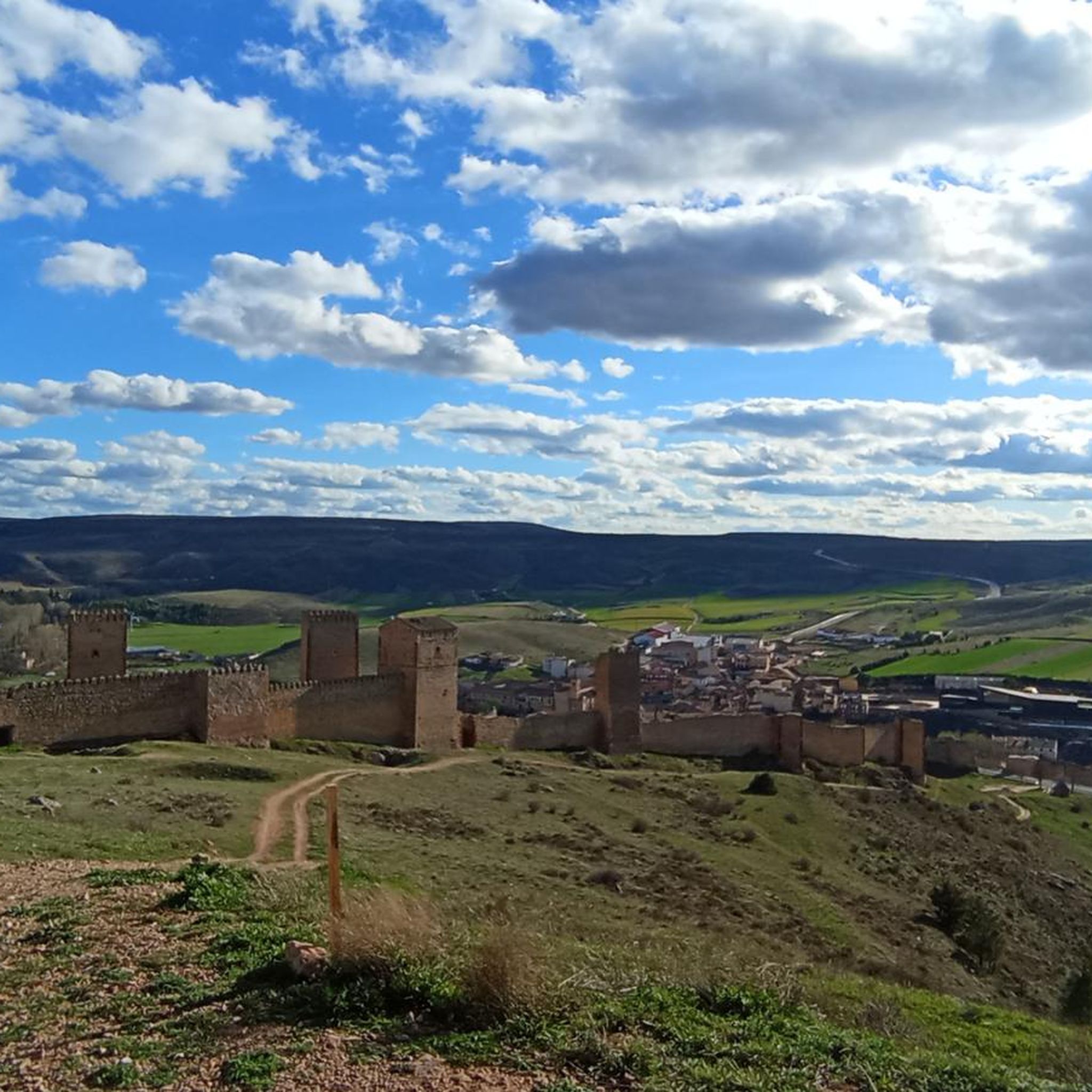
The region offers a blend of natural and historical attractions. You can explore charming 'black villages' known for their traditional slate architecture. Nearby Molina de Aragón features a significant castle, the Castle of Molina de Aragón. Other historical sites include Castilnuevo and its castle, the Castilnuevo Castle, and the Casa Fuerte de la Bujeda.
Is parking available at the trailheads for mountain biking in Prados Redondos?
While specific parking facilities for every trailhead are not detailed, many routes in the Molina-Alto Tajo Geopark are designed to start or end in towns that offer geotourism services. This often includes designated parking areas for visitors. It's advisable to check the starting points of individual routes for specific parking information.
Are there any permits required for mountain biking in the Prados Redondos area?
The Molina-Alto Tajo Geopark and the Alto Tajo Natural Park are protected areas. Generally, permits are not required for mountain biking on established trails. However, it's always good practice to respect local regulations, stay on marked paths, and check for any specific restrictions, especially if venturing into more sensitive ecological zones.
Most popular routes around Prados Redondos
Most popular attractions around Prados Redondos

Get inspired with the komoot mobile app


Explore more
Browse the best MTB trails in other regions.
