The best walks and hikes around Aznalcóllar
4.1
(57)
317
hikers
20
hikes
Hiking around Aznalcóllar offers access to a diverse landscape characterized by green corridors, reservoir areas, and rolling terrain. The region features a mix of open spaces and paths that follow natural water features. These trails provide opportunities to explore the local environment, including the area around the Aznalcóllar reservoir.
Best hiking trails around Aznalcóllar
- The most popular hiking route is Laguna de las Doblas — circular by Sanlúcar la Mayor, a 2.8 miles (4.6 km) trail that takes 1…
Last updated: October 10, 2026
4.3
(11)
22
hikers
4.57km
01:09
10m
10m
Easy hike. Great for any fitness level. Easily-accessible paths. Suitable for all skill levels.
1
hikers
22.3km
06:52
100m
100m
Hike the difficult 13.8-mile Río Crispinejo y Cota de los Frailes circular trail from Aznalcóllar, featuring unique semi-aquatic sections.

4.7
(6)
22
hikers
7.99km
02:13
140m
140m
Moderate hike. Good fitness required. Easily-accessible paths. Suitable for all skill levels.
5.0
(1)
12
hikers
Moderate hike. Good fitness required. Easily-accessible paths. Suitable for all skill levels.
5.0
(1)
8
hikers
12.6km
03:29
230m
230m
Moderate hike. Good fitness required. Easily-accessible paths. Suitable for all skill levels.
Get access to more routes and recommendations from other explorers.
Already have an account?
Our route recommendations are based on thousands of hikes, rides, and runs completed by other people on komoot.
Start today with a free account
Your next adventure awaits.

Tips from the Community

It is currently in a state that could be improved. Be very careful with the screws sticking out of the wood.
0
0

In some sections of the Agrio river the water turns reddish and very acidic. This is due to the drainage from the old iron mines in the area. It is like the Tinto river, but on a smaller scale.
0
0

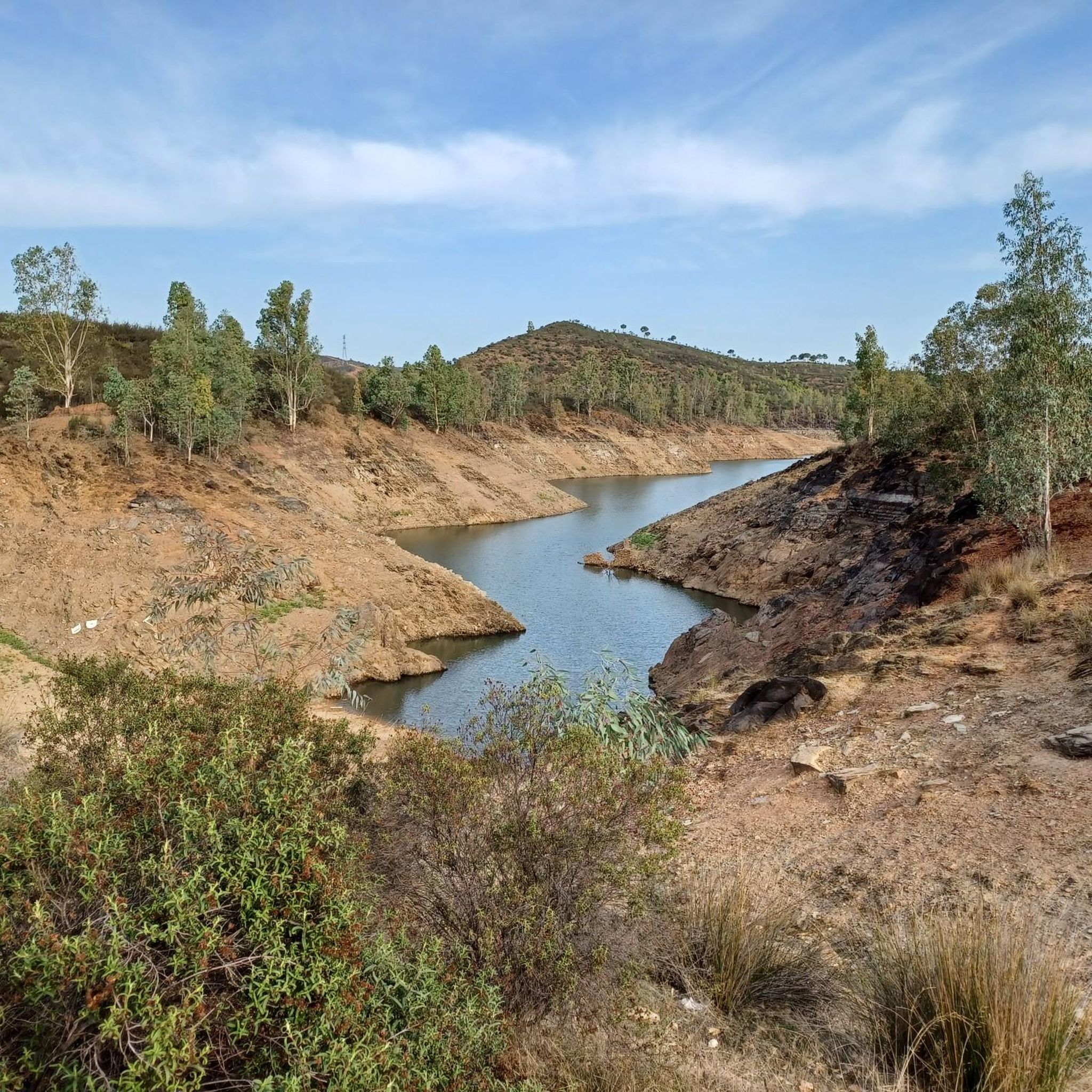
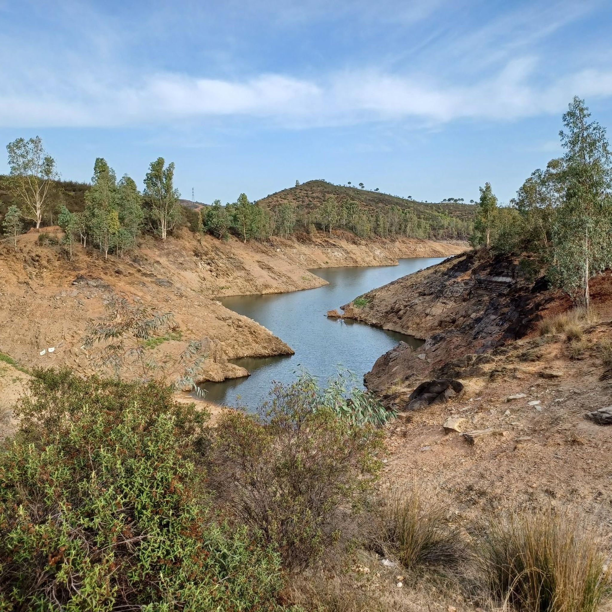
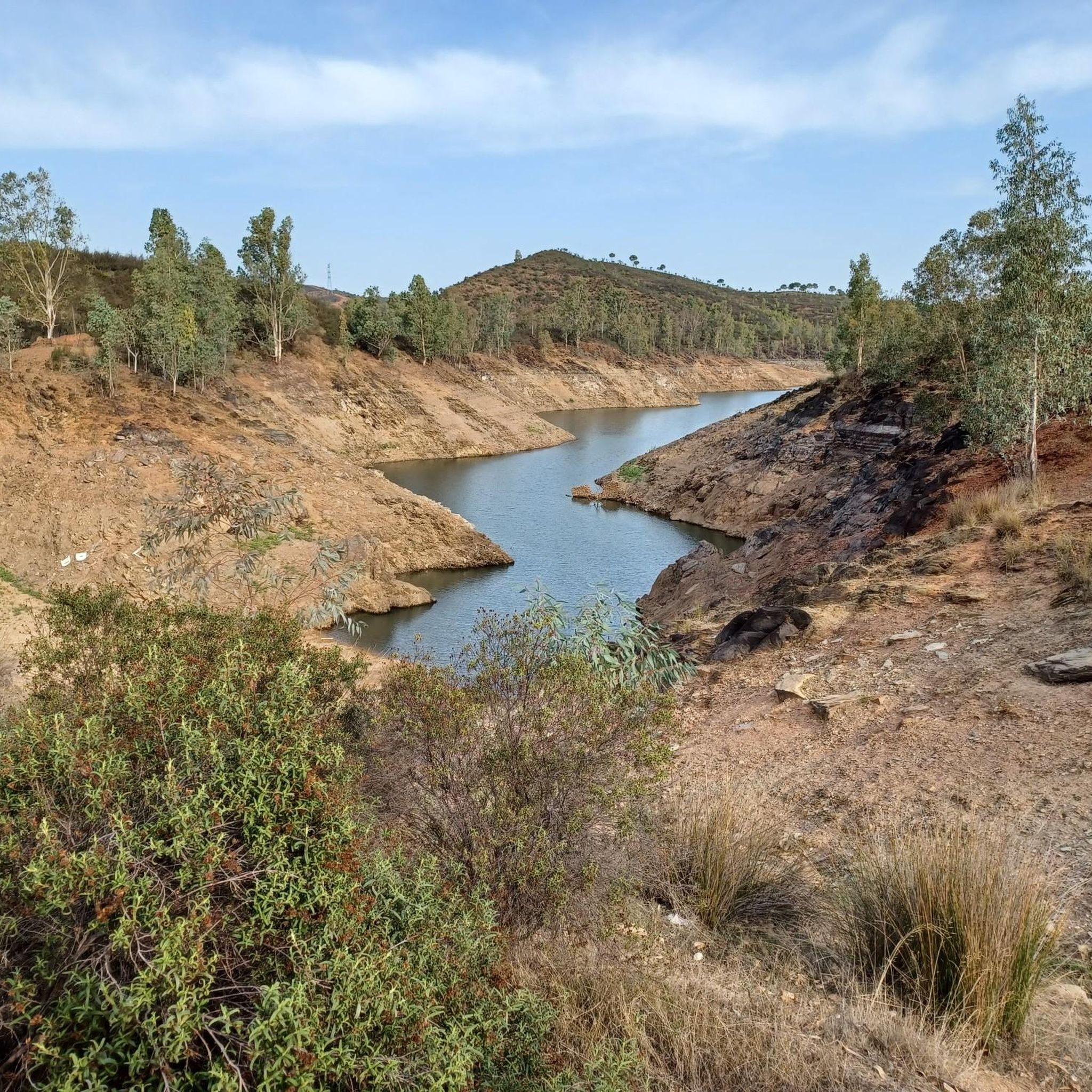
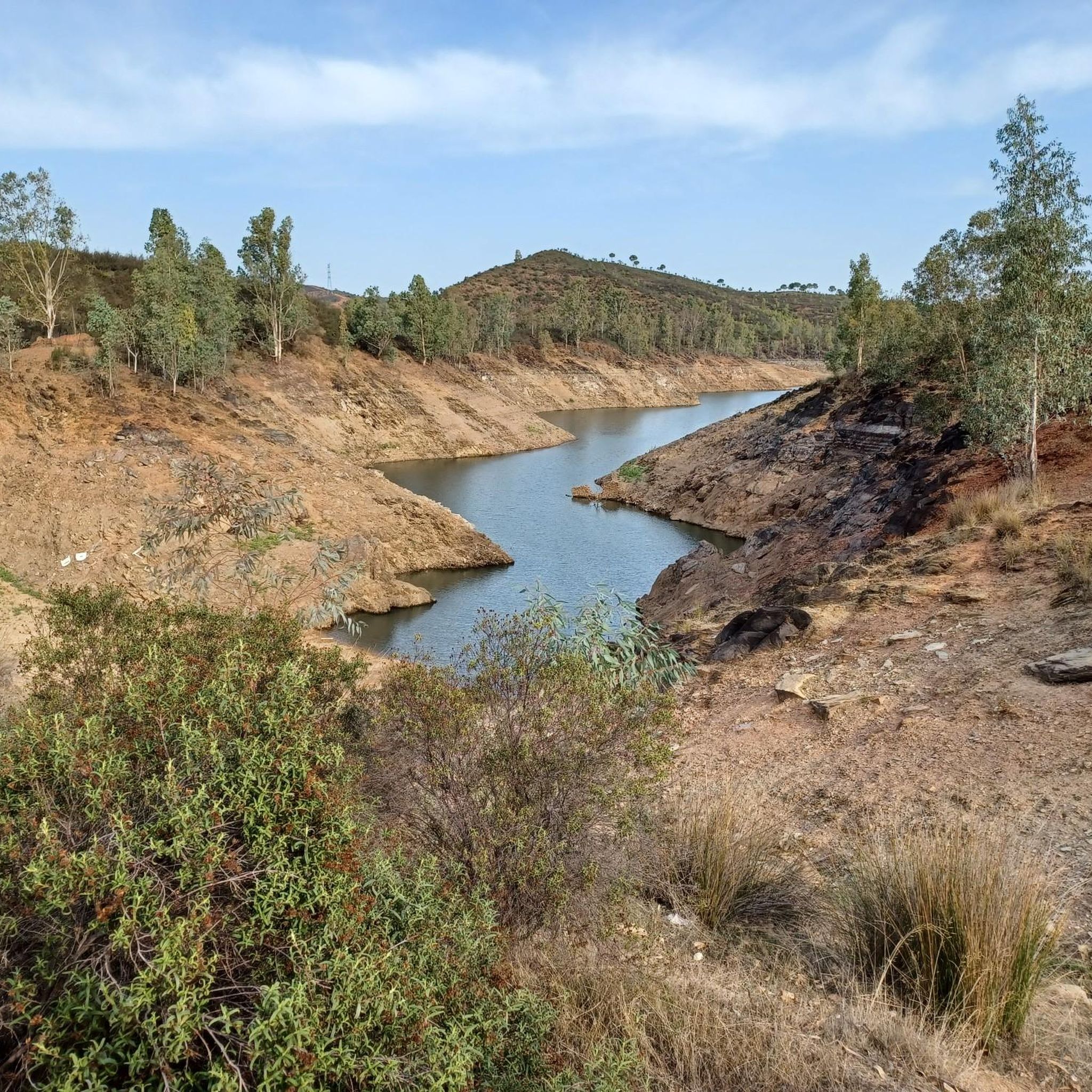
April 1, 2024, after heavy rainfall over the last two weeks, the water levels are extremely high and water is collecting from the mountains everywhere. The turbines have been running since yesterday and water is being released over the dam.
1
0

Wooden bridge that crosses the Río Crispinejo, and that represents a natural and green space where in spring times, it is spectacular!
1
0
Artificial swamp that is close to the town of Aznalcóllar and that is part of a set of two huge wells.
1
0
This recreational area is located next to the Las Doblas bridge in the municipality of Sanlúcar la Mayor. In this place, an artificial lagoon has been created in what was an old gravel pit, whose surroundings can be explored through a wooden walkway.
2
0
Path that is close to the riverbed of the Río Guadiamar and where you can find animals and different species associated with the river! Quiet road to walk on!
1
0
Path that reaches the town of El Castillo de las Guardas and where we find different animals in a natural environment!
1
0
Frequently Asked Questions
How many hiking trails are available around Aznalcóllar?
There are over a dozen hiking trails in the Aznalcóllar region. These routes cater to various skill levels, including easy, moderate, and difficult options, allowing hikers to explore the diverse landscape of green corridors and reservoir areas.
Are there any easy hiking trails suitable for beginners or families?
Yes, Aznalcóllar offers several easy trails. A great option for a relaxed walk is the Laguna de las Doblas — circular by Sanlúcar la Mayor. This 4.6 km (2.8 miles) route is generally completed in just over an hour and provides pleasant views of the lagoon, making it ideal for families.
What kind of challenging hikes can I find in Aznalcóllar?
For those seeking a challenge, the region features more demanding routes. The Aznalcóllar Green Corridor Loop is a difficult 22.3 km (13.8 miles) path that traverses varied terrain and offers a longer, more strenuous experience through the green corridor.
Are there any circular hiking routes in the area?
Yes, many of the trails around Aznalcóllar are circular, offering convenient starting and ending points. For example, the Castillo de las Guardas – El Castillo de las Guardas loop from Bar Casa Juanito is a popular moderate 14.3 km (8.9 miles) circular trail that takes you through the local countryside.
What attractions or points of interest can I see while hiking?
The hiking trails often lead to interesting natural and man-made features. You can explore areas like the Laguna de las Doblas or witness the Overflow at the Dam. The region also features the Dehesa of the Guadiamar, offering diverse landscapes.
What do other hikers say about the trails in Aznalcóllar?
The trails in Aznalcóllar are highly regarded by the komoot community, holding an average rating of 4.5 stars from over 40 reviews. Hikers frequently praise the diverse landscapes, from green corridors to reservoir views, and the variety of routes available for different skill levels.
Is it possible to hike near the Aznalcóllar reservoir?
Yes, the Aznalcóllar reservoir is a prominent feature of the local landscape, and several trails offer views or pass close to it. The Overflow at the Dam loop from Aznalcóllar is a moderate 12.5 km (7.8 miles) route that specifically explores the area around the dam and reservoir.
What is the best time of year to go hiking in Aznalcóllar?
The best time for hiking in Aznalcóllar is typically during the spring (March to May) and autumn (September to November). During these seasons, the weather is milder and more pleasant, avoiding the intense heat of summer and the cooler, sometimes wetter, conditions of winter. This allows for comfortable exploration of the region's diverse terrain.
Are there any trails that feature unique natural elements like stone walls?
Yes, some routes incorporate distinctive natural and historical elements. The Path Between Stone Walls – Scenic Rocky Path loop from Las Cañadillas is a moderate 14.2 km (8.8 miles) trail that highlights these unique features, offering a scenic journey through the landscape.
What kind of wildlife might I encounter on the trails?
The Aznalcóllar region, with its green corridors and dehesa landscapes, is home to various wildlife. Hikers might spot birds of prey, waterfowl near the reservoir, and other small mammals. The natural environment provides habitats for a diverse range of species, especially in quieter areas away from main roads.
How can I get to the hiking trails around Aznalcóllar using public transport?
While Aznalcóllar is accessible by public transport, direct connections to specific trailheads might be limited. It's advisable to check local bus schedules to Aznalcóllar town. From there, some trailheads may be within walking distance, or you might consider a short taxi ride to reach more remote starting points.
Where can I park my car when visiting the hiking trails?
Parking is generally available in and around Aznalcóllar town. For specific trailheads, look for designated parking areas or roadside parking where permitted. It's recommended to check the starting point of your chosen route on komoot for more precise parking information, as some popular trails may have small car parks.
Most popular routes around Aznalcóllar
Most popular attractions around Aznalcóllar

Get inspired with the komoot mobile app


Explore more
Browse the best Hikes in other regions.
