The best cycling routes around Rolavská vrchoviště
4.7
(996)
5,578
riders
163
rides
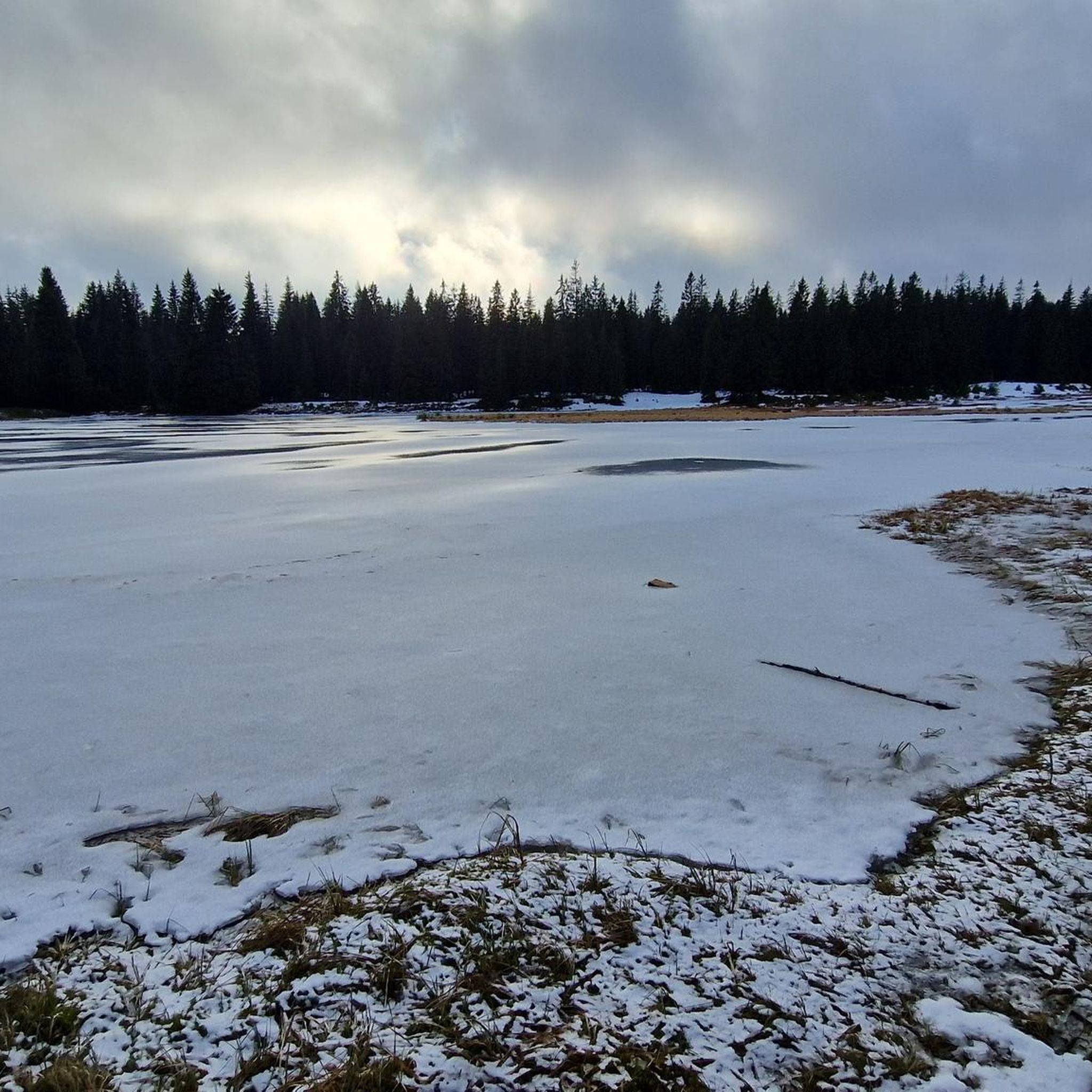
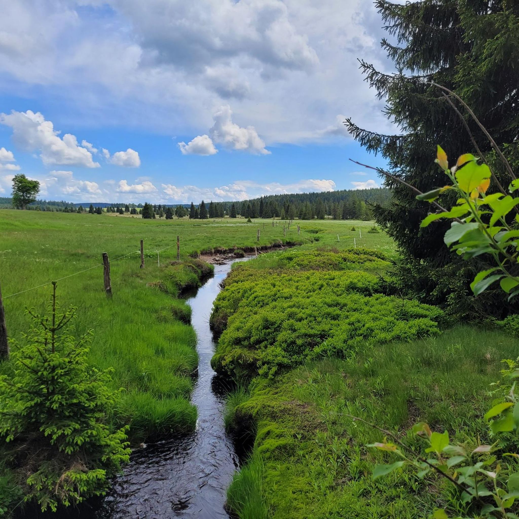
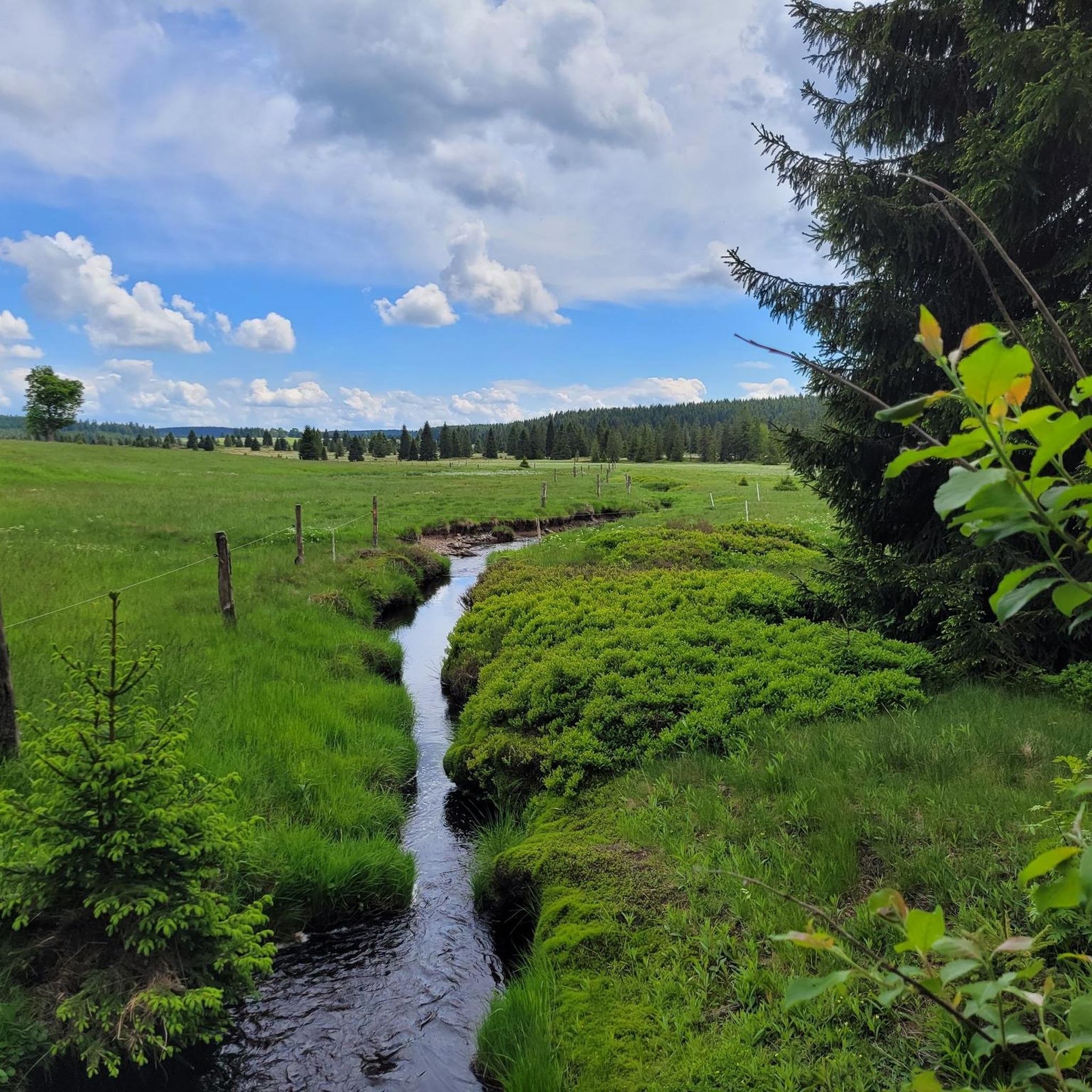
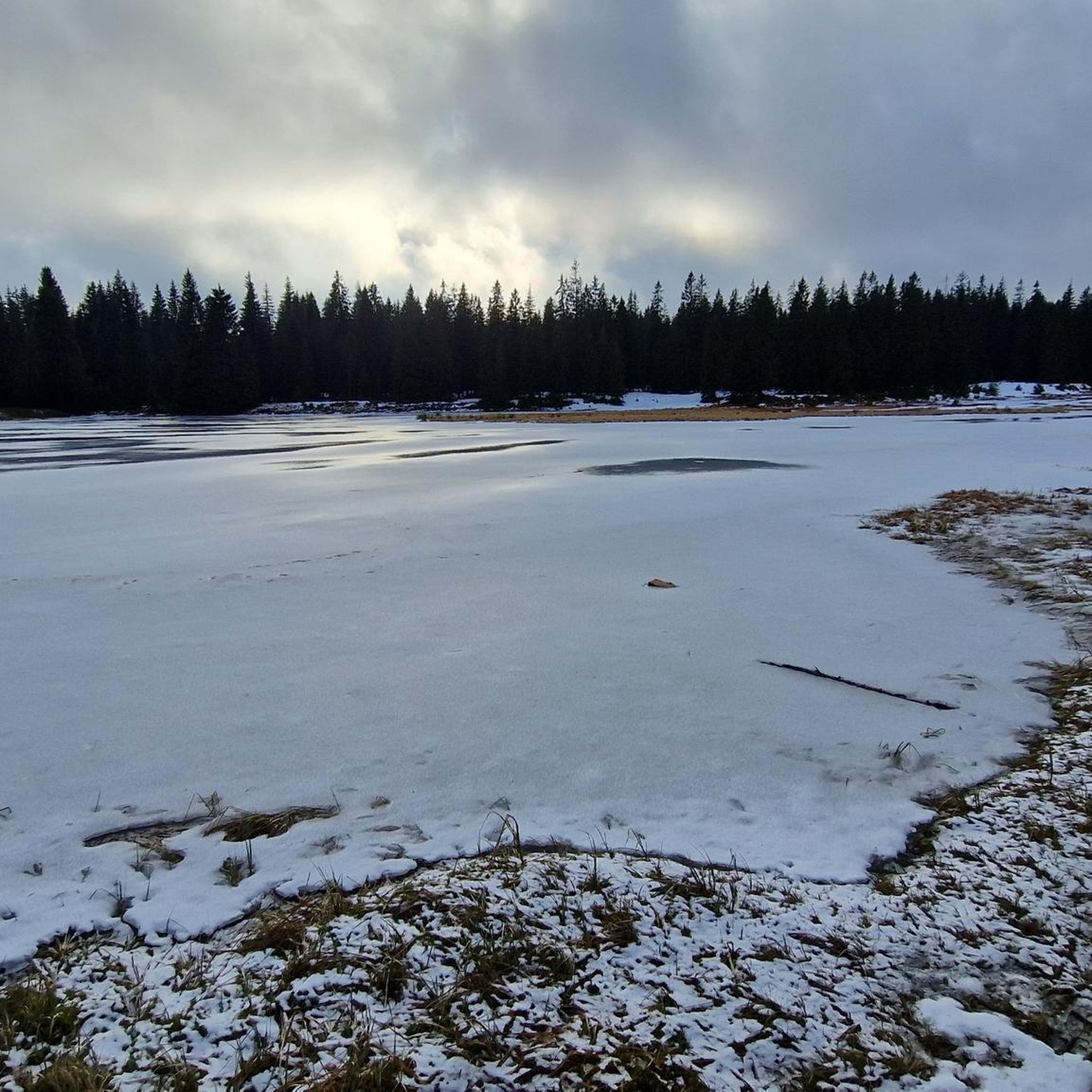
Touring cycling around Rolavská vrchoviště explores a high-altitude plateau within the Ore Mountains, situated at 880–950 meters. The landscape is characterized by extensive mountain peat bogs, waterlogged spruce forests, and numerous small lakes. This unique environment provides a distinct backdrop for cycling, with routes traversing moorland and forested areas.
Best touring cycling routes around Rolavská vrchoviště
- The most popular touring cycling route is Forest Pond Rest Area – Border Snack Bar Celnice loop from Carlsfeld, a 13.1 miles (21.0…
Last updated: June 28, 2026
4.0
(1)
8
riders
Moderate bike ride. Good fitness required. Mostly paved surfaces. Suitable for all skill levels.
4.7
(22)
86
riders
Hard bike ride. Good fitness required. You may need to push your bike for some segments of this route.

Sign up for free
5.0
(2)
14
riders
24.7km
01:52
280m
280m
Moderate bike ride. Good fitness required. Mostly paved surfaces. Suitable for all skill levels.
7
riders
44.7km
03:17
890m
890m
Hard bike ride. Very good fitness required. Mostly paved surfaces. Suitable for all skill levels.
6
riders
23.3km
01:53
450m
450m
Moderate bike ride. Good fitness required. Mostly paved surfaces. Suitable for all skill levels.
Get access to more routes and recommendations from other explorers.
Sign up for free
Already have an account?
Our route recommendations are based on thousands of hikes, rides, and runs completed by other people on komoot.
Start today with a free account
Your next adventure awaits.
Login or Signup

Tips from the Community


Hello it was a very nice bike tour with friends
0
0

Green border. On the German side, a long gravel road leads uphill, while on the Czech side, an asphalt road leads downhill. At the top of the ridge, there's a snack bar in good conditions. There are some interesting information boards along the border.
1
0

no need for an e-bike for this tour
0
0


According to the notice board, the opening hours are 11 a.m. to 4 p.m. I don't know about Mondays, so it's better to bring enough with you! The Penzion Jeleni, known to insiders as "RUDI" after the landlord, is definitely closed on Mondays.
2
0
At the pass height of 935m, the "Hirschenständer Pass", there is now a permanent building again. The snack bar was a temporary solution after the old customs building was demolished. The current snack bar is again called "Celnice" and is an institution among hikers, cyclists and skiers. There is a traditional, friendly atmosphere there. Information boards provide information about the long history of the crossing from Saxony to Bohemia, Germany to the Czech Republic. It is also definitely worth walking/driving about 2km further and visiting Jeleni, the former Hirschenstand
2
0

Very worth seeing, you have to see it
0
0
Frequently Asked Questions
How many touring cycling routes are available in Rolavská vrchoviště?
Rolavská vrchoviště offers a wide selection of touring cycling routes, with over 170 options to explore. These routes cater to various skill levels, ensuring there's something for everyone.
What is the general difficulty level of touring cycling routes in Rolavská vrchoviště?
The routes in Rolavská vrchoviště range from easy to difficult. You'll find approximately 6 easy routes, 69 moderate routes, and 102 difficult routes. This variety allows cyclists to choose paths that match their experience and fitness levels, navigating the region's high-altitude terrain.
What kind of landscape can I expect to see while cycling in Rolavská vrchoviště?
While cycling in Rolavská vrchoviště, you'll experience a unique high-altitude landscape characterized by extensive mountain peat bogs, waterlogged spruce forests, and numerous small lakes. The area is situated at 880–950 meters, offering a distinctive moorland environment with rare flora and fauna.
What do other cyclists say about the touring routes in Rolavská vrchoviště?
The touring cycling routes in Rolavská vrchoviště are highly rated by the komoot community, with an average score of 4.7 stars from over 1000 reviews. Cyclists often praise the unique natural beauty, the challenging terrain, and the historical sites encountered along the way.
Are there any historical sites or landmarks to explore along the cycling routes?
Yes, the region is rich in history. A notable historical site you can explore is the Ruins of the Rolava tin mine and POW camp, which offers a glimpse into the area's mining past and its role during World War II. You can also find the Ruins of the Rolava Prisoner-of-War Camp nearby.
What natural attractions can I discover while cycling in the region?
The Rolavská vrchoviště area is known for its unique natural features. You can visit the Rolavská Vrchoviště Raised Bog, the source of the Rolava River, or enjoy the serene Rolavský Pond. The Rolava Peat Bog and Reservoir is another significant natural monument, known for rare plants like the round-leaved sundew.
Are there any routes that offer panoramic views?
Given the high-altitude plateau of Rolavská vrchoviště, many routes offer expansive views. For example, the route Galgenhöhe (958 m) – View of the Ore Mountains loop from Carlsfeld specifically highlights a viewpoint of the Ore Mountains, providing stunning vistas of the surrounding landscape.
Are there family-friendly touring cycling routes in Rolavská vrchoviště?
While many routes in Rolavská vrchoviště involve significant elevation changes, there are a few easier options suitable for families. It's recommended to check the difficulty ratings and elevation profiles of specific routes to ensure they align with your family's capabilities. Look for routes marked as 'easy' in the komoot guide.
Can I bring my dog on the touring cycling routes?
The Rolavská vrchoviště region is a National Nature Reserve, and access within the reserve is restricted to marked trails to protect its fragile ecosystem. While dogs are generally welcome on public trails, it's always best to keep them on a leash and adhere to local regulations, especially in protected areas, to ensure the safety of wildlife and other visitors.
What are the options for parking when visiting Rolavská vrchoviště for cycling?
Parking options are available at various starting points for routes around Rolavská vrchoviště. For example, many routes begin near Carlsfeld or Přebuz, where you can typically find designated parking areas. It's advisable to check the specific route details on komoot for recommended parking spots.
How can I reach Rolavská vrchoviště using public transport with my bike?
Public transport access to Rolavská vrchoviště can be limited, especially for cyclists with bikes, due to its remote, high-altitude location. While some regional bus services might operate, it's best to research specific routes and their bike carriage policies in advance, particularly if planning to start from towns like Přebuz or nearby larger settlements.
What is the best time of year for touring cycling in Rolavská vrchoviště?
The best time for touring cycling in Rolavská vrchoviště is typically during the warmer months, from late spring to early autumn (May to September). Due to its high altitude (880–950 meters), the area can experience colder temperatures and snow well into spring and early winter, making cycling challenging outside of these months.
Are there circular touring cycling routes available?
Yes, many of the touring cycling routes in Rolavská vrchoviště are designed as loops, allowing you to start and end at the same point. Examples include the Forest Pond Rest Area – Border Snack Bar Celnice loop from Carlsfeld and the View of the Jelení Meadow – Border Snack Bar Celnice loop from Carlsfeld, which are popular choices for exploring the region.
Most popular routes around Rolavská vrchoviště
Most popular attractions around Rolavská vrchoviště

Get inspired with the komoot mobile app


Explore more
Browse the best Cycling routes in other regions.
