The best running trails around Tosantos
5.0
(1)
138
runners
13
runs
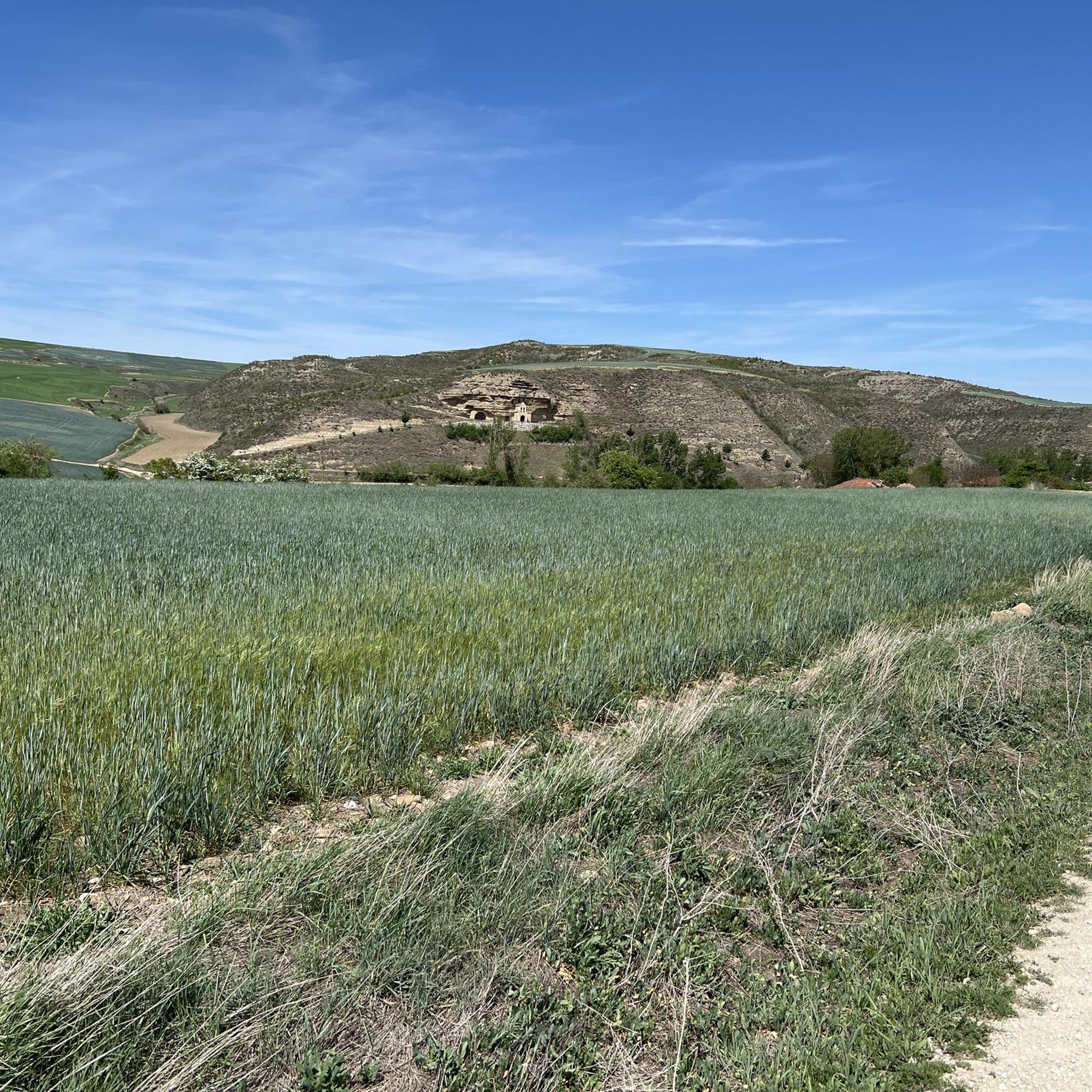
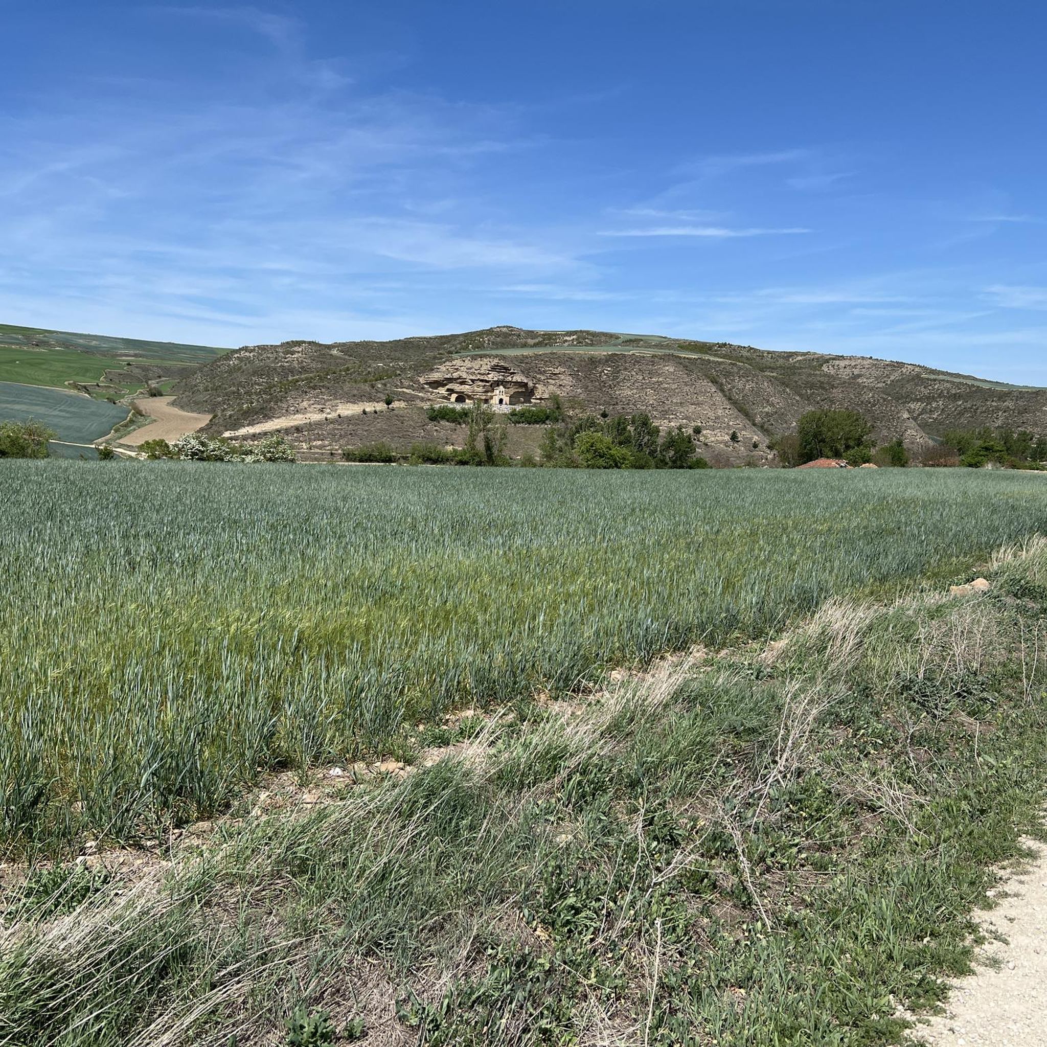
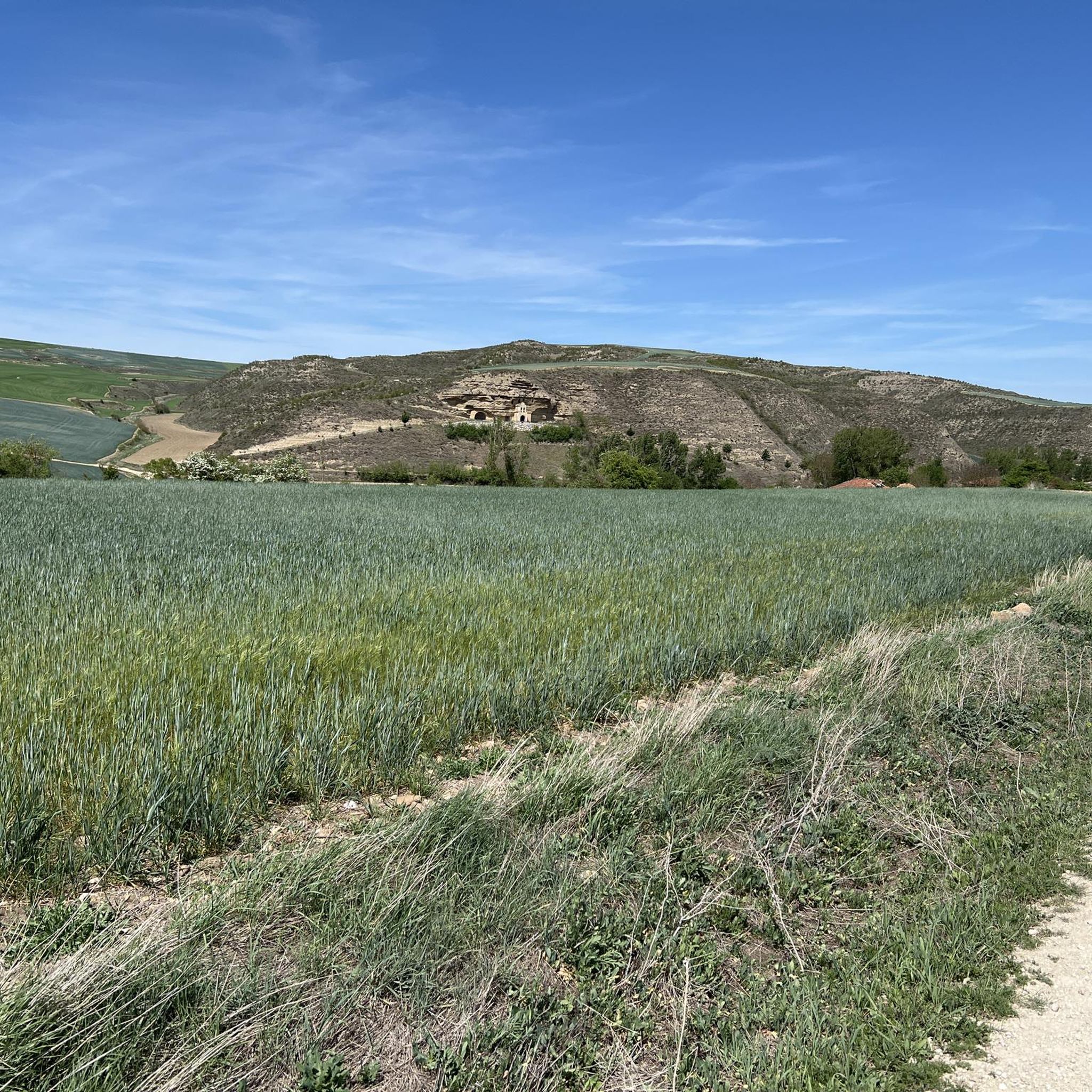
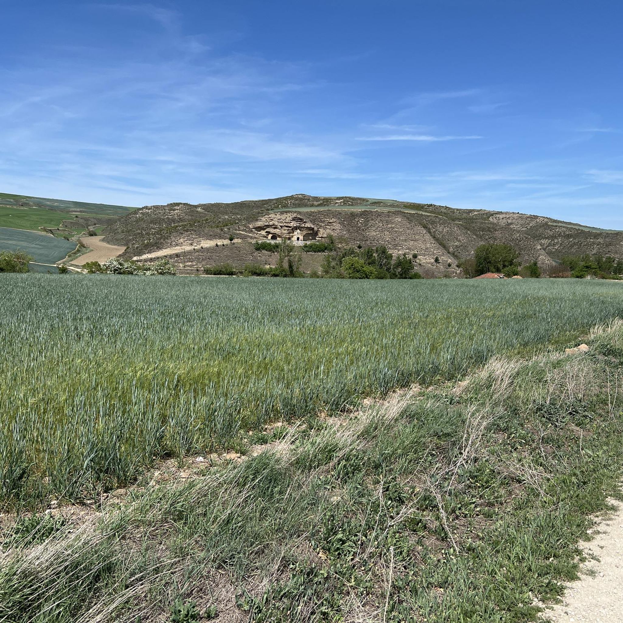
Jogging routes around Tosantos are characterized by an undulating landscape, situated within the Montes de Oca foothills in the province of Burgos, Spain. The region offers varied terrain, including both inclines and declines, providing a dynamic experience for runners. Paths often follow the historic Camino de Santiago, presenting well-trodden trails amidst peaceful pastoral landscapes. Natural features like Monte de la Pedraja contribute to the scenic backdrop for outdoor exercise.
Best jogging routes around Tosantos
- The most popular jogging route is…
Last updated: October 15, 2026
5.0
(1)
26
runners
30.3km
05:02
1,780m
1,780m
Hard run. Very good fitness required. Sure-footedness, sturdy shoes and alpine experience required.
16
runners
35.9km
05:28
1,720m
1,720m
Hard run. Very good fitness required. Sure-footedness, sturdy shoes and alpine experience required.

11
runners
16.2km
02:24
760m
760m
Hard run. Very good fitness required. Mostly paved surfaces. Suitable for all skill levels.
9
runners
21.2km
03:04
1,060m
1,060m
Hard run. Very good fitness required. Sure-footedness, sturdy shoes and alpine experience required.
8
runners
12.3km
01:39
500m
500m
Hard run. Very good fitness required. Mostly paved surfaces. Suitable for all skill levels.
Get access to more routes and recommendations from other explorers.
Already have an account?
Our route recommendations are based on thousands of hikes, rides, and runs completed by other people on komoot.
Start today with a free account
Your next adventure awaits.
Tips from the Community

a highly recommended area for hiking.
0
0
a highly recommended area for hiking.
0
0
a highly recommended area for hiking.
0
1
Nice area for hiking and mountain biking trails in La Demanda
0
0
Nice area for hiking and mountain biking trails
0
0

The Alto de la Garrula is a halfway point from where the Sendero de las Cascadas leaves and where you can take the direction towards the highest mountains of the Sierra de la Demanda, as is the case with Pico Millán.
0
0
It is one of the waterfalls that are found in this valley and that are part of the Arroyo del Allúzarra, in the upper part of it. The waters come from the high mountains that are flanking the mountains above.
0
0
This is geographically the highest mountain in the province of Burgos and which also represents one of the roofs of the Sierra de la Demanda. At 2130 meters high, it offers impressive panoramic views of the surrounding valleys.
1
0
Frequently Asked Questions
What kind of terrain can I expect on the running routes around Tosantos?
The jogging routes around Tosantos feature an undulating landscape, characteristic of the Montes de Oca foothills. This means you'll encounter a dynamic mix of inclines and declines, providing a varied and engaging experience for runners. Many paths also follow sections of the historic Camino de Santiago, offering well-trodden trails through peaceful pastoral scenery.
How many running trails are available in the Tosantos area?
There are around 7 dedicated running trails mapped out in the Tosantos area. These routes cater to various fitness levels, ranging from moderate loops to more challenging long-distance runs through the Montes de Oca foothills.
Are there any challenging long-distance running routes near Tosantos?
Yes, for those seeking a challenge, Tosantos offers several difficult long-distance running routes. For example, the San Millán loop from Pradoluengo is a demanding 36.1 km (22.4 miles) trail with significant elevation changes. Another option is the Trigaza Norte o La Zapatera loop from Valmala, which covers 21.2 km (13.2 miles) with substantial climbs.
What natural features can I see while jogging around Tosantos?
Joggers in Tosantos can enjoy the natural beauty of the Montes de Oca foothills and features like the Monte de la Pedraja. The region's scenic routes offer immersive experiences in the local scenery, with pastoral landscapes and varied terrain providing a stimulating environment for outdoor exercise.
Are there any historical landmarks or points of interest along the running routes?
Yes, as Tosantos is situated on the Camino de Santiago, you'll find historical sites and cultural elements integrated into the landscape. A notable landmark is the unique Ermita de la Virgen de la Peña, a cave hermitage excavated into a rock face. You might also pass by the Monte de la Pedraja Memorial or sections of the Camino de Santiago itself.
What do other runners say about the trails in Tosantos?
The running routes in Tosantos are highly regarded by the komoot community, with an average score of 5.0 stars. Runners often praise the varied terrain, the peaceful pastoral landscapes, and the scenic backdrop provided by the Montes de Oca foothills.
Is there a scenic route suitable for a picturesque run?
Absolutely. The 'Very special road,' a cycle path connecting Tosantos and Villalómez, offers particularly scenic views and an immersive experience in the local scenery. It's an ideal choice for a picturesque run, allowing you to enjoy the natural beauty of the area.
Can I combine my run with exploring nearby towns or attractions?
Yes, the proximity to other towns allows for extended exploration. For instance, the nearby town of Belorado, with its historical significance and the Plaza Mayor de Belorado, can serve as a longer jogging destination or a starting point for exploring more of the region's routes.
What is the general difficulty level of the running routes in Tosantos?
The routes around Tosantos offer a mix of difficulty levels. While there are no easy routes listed, you'll find several moderate options and a number of difficult trails. The moderate routes are generally shorter with less elevation, while the difficult ones feature significant climbs and longer distances through the Montes de Oca foothills.
Are there any specific paths that follow the Camino de Santiago?
Yes, many of the jogging routes in the Tosantos area utilize sections of the historic Camino de Santiago. This means you can run on well-trodden paths that have been used by pilgrims for centuries, offering a unique blend of natural beauty and cultural heritage.
What makes the Montes de Oca foothills a good place for running?
The Montes de Oca foothills, part of the Iberian System, provide a naturally dynamic environment for running. Their undulating landscape offers a constant change in elevation, which can enhance your workout and keep your run engaging. The scenic backdrop of these foothills also adds to the overall enjoyment of the outdoor activity.
Most popular attractions around Tosantos

Get inspired with the komoot mobile app


Explore more
Browse the best Running Trails & Routes in other regions.
