The best MTB trails around Fuentes Claras
3.7
(3)
434
riders
79
rides
Mountain bike trails around Fuentes Claras offer diverse terrain in the Teruel province of Aragon, Spain. The area is characterized by an elevated position at approximately 909 meters (2,982 feet) above sea level, providing varied landscapes. Riders can expect a mix of mountains, pine and juniper forests, and extensive meadows. The region also features numerous natural springs and ponds, contributing to the varied terrain and scenic routes.
Best mountain bike trails around Fuentes Claras
- The most popular mountain bike trail…
Last updated: June 28, 2026
153
riders
75.1km
06:52
1,310m
1,310m
Hard mountain bike ride. Very good fitness required. Advanced riding skills necessary.
32
riders
56.3km
05:20
1,130m
1,130m
Hard mountain bike ride. Very good fitness required. Suitable for all skill levels.

Sign up for free
11
riders
36.8km
03:23
690m
690m
Moderate mountain bike ride. Good fitness required. Suitable for all skill levels.
11
riders
86.5km
07:42
1,320m
1,320m
Hard mountain bike ride. Very good fitness required. Advanced riding skills necessary.
3.0
(1)
6
riders
76.4km
04:46
550m
550m
Moderate mountain bike ride. Good fitness required. Suitable for all skill levels.
Get access to more routes and recommendations from other explorers.
Sign up for free
Already have an account?
Our route recommendations are based on thousands of hikes, rides, and runs completed by other people on komoot.
Start today with a free account
Your next adventure awaits.
Login or Signup



Tips from the Community

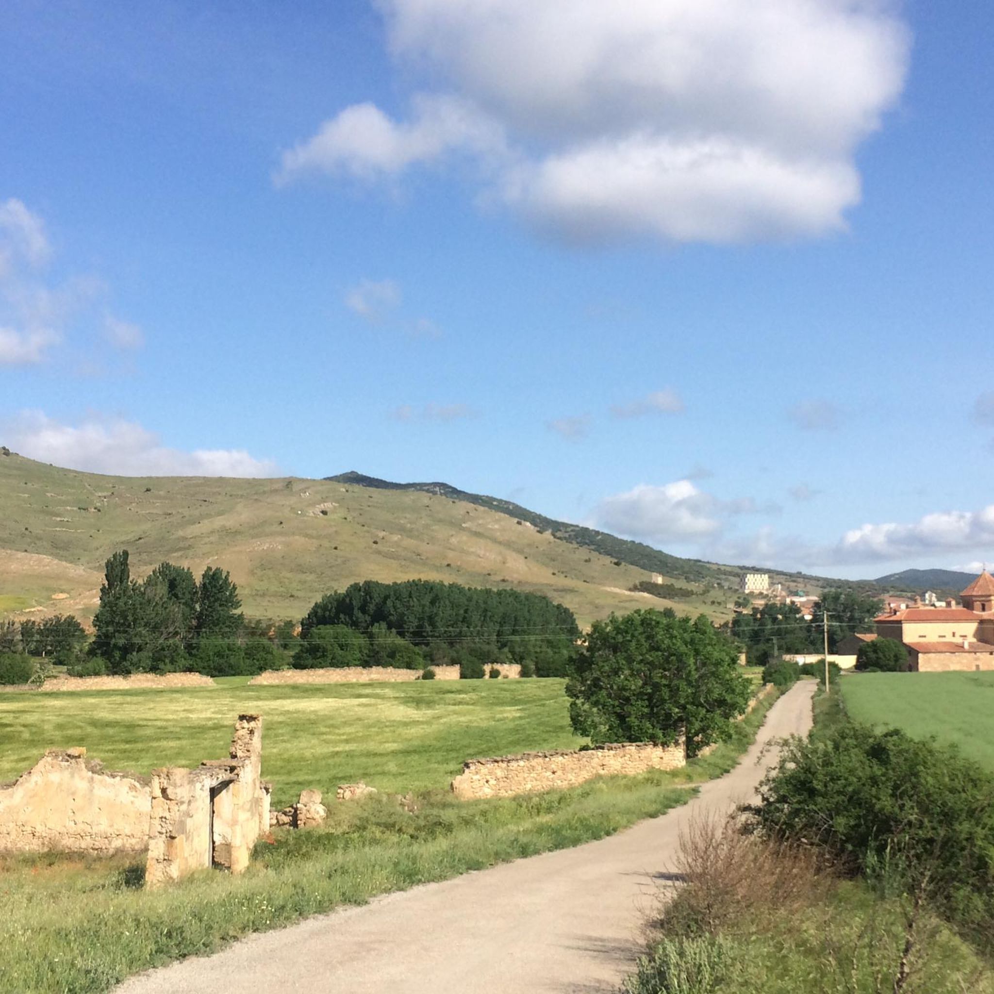
Barrachina is a small village in the Jiloca region, surrounded by peaceful fields and mountains, ideal for cycling routes along secondary roads. The town center features the 17th-century parish church of La Asunción and traditional features such as the Pedromocho stone pillar and the Round House. The natural setting offers views along the Pancrudo River and the shade of the oak tree, a unique, large tree. It's a good place to take a break from your hike and enjoy the tranquility of the Teruel mountains.
1
0

A must-see to listen to the flow of the Pancrudo River. And seeing the beauty of the Jiloca River banks in autumn is special.
0
1

Unfortunately, there are still many interruptions on the almost 600 km long Via Verde Santander Mediterraneo railway line. It would be great to be able to travel from the Atlantic to the Mediterranean without car traffic. If this tourist potential is understood by the various regional parliaments, the entire cycling and gravel world would come to Spain and use this ingenious connection.
0
0

Images are there for a reason...take a photo and find out what they mean to you
0
0

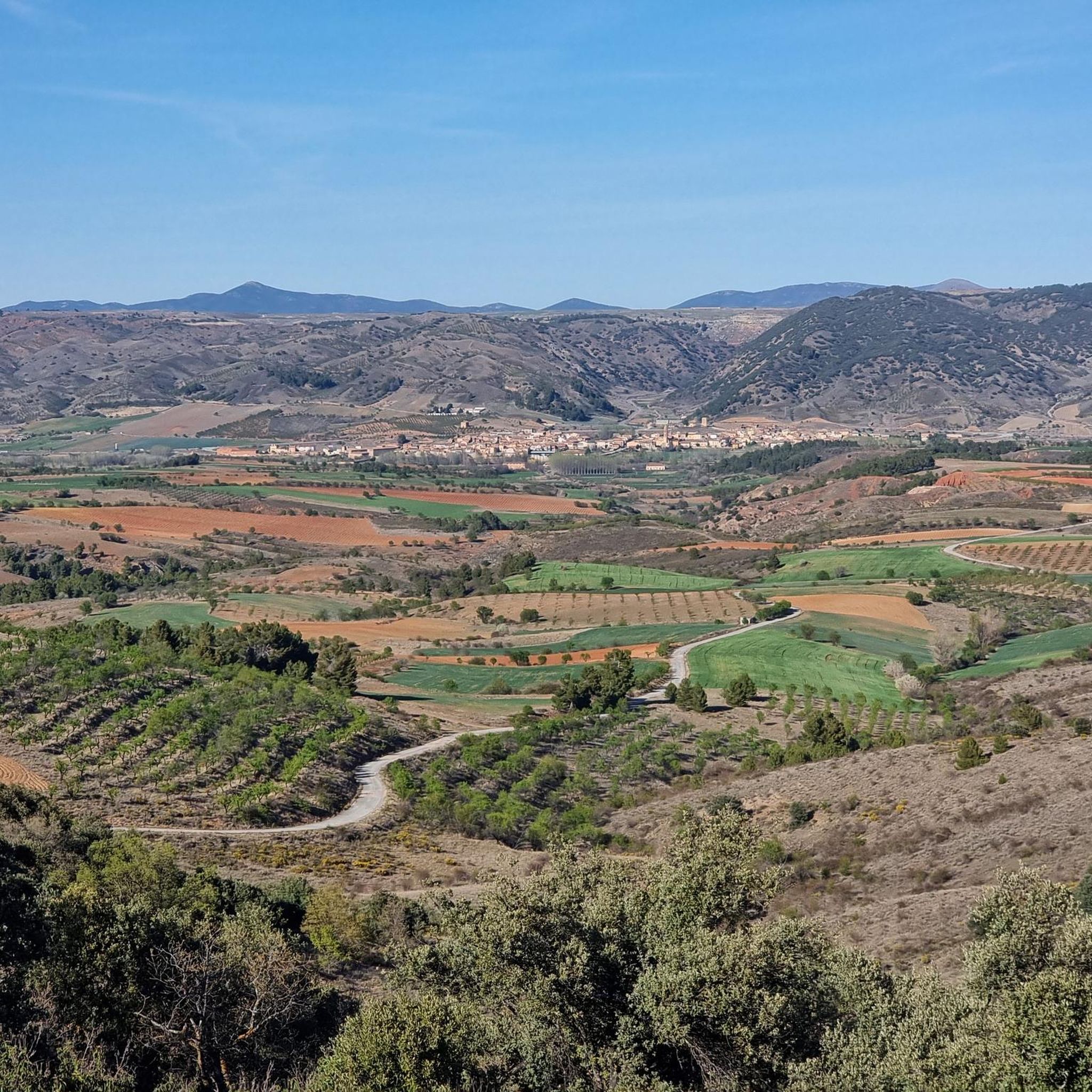
From El Poyo del Cid you have an excellent view of the Jiloca valley. El Cid set up his camp here during his raids during the Reconquista, hence the name of the place. For this reason, there is a statue in his honor.
0
0

It is a cool place, with the mouth of the Pancrudo in the Jiloca and the passage of the Via Verde.
0
1

A city of transit since ancient times, Calamocha stands in the middle of the extensive plain of the Jiloca, on the right bank of the river. Its excellent geographical situation led to its being an important fortified enclave in the past. In fact, it was the city of El Cid passing through on his way to Valencian lands.
9
0
The Lechago reservoir, the result of the so-called Aragon Water Pact and the Hydrological Plan.
9
0
Frequently Asked Questions
How many mountain bike trails are available around Fuentes Claras?
There are over 60 mountain bike trails around Fuentes Claras. This includes a diverse range of routes, with 1 easy, 52 moderate, and 10 difficult trails to choose from.
What kind of terrain can I expect on mountain bike trails in Fuentes Claras?
The terrain around Fuentes Claras is varied, characterized by its elevated position at approximately 909 meters above sea level. You can expect a mix of mountains, pine and juniper forests, and extensive meadows. The area is also known for its numerous natural springs and ponds, which add to the scenic beauty and varied landscape of the trails.
Are there any family-friendly mountain bike trails in Fuentes Claras?
Yes, there are options suitable for families. While most trails are moderate, there is 1 easy route available. For a moderate option that explores the local area with a mix of open and forested sections, consider the Calamocha – El Poyo del Cid loop from Calamocha-Nueva, which is 15.7 miles (25.2 km) long.
What is the best time of year to go mountain biking in Fuentes Claras?
Fuentes Claras, being at an elevation of around 909 meters, offers a refreshing climate. The spring and autumn months generally provide the most pleasant weather for mountain biking, avoiding the intense heat of summer and potential colder conditions in winter. However, the diverse terrain can be enjoyed across different seasons depending on specific weather conditions.
What do other mountain bikers say about the trails in Fuentes Claras?
The mountain bike trails in Fuentes Claras are highly rated by the komoot community, with an average score of 3.5 stars from over 5 reviews. More than 300 mountain bikers have used komoot to explore the varied terrain, often praising the diverse landscapes and the mix of challenging and moderate routes available.
Are there any circular mountain bike routes in the area?
Yes, many of the routes around Fuentes Claras are designed as loops. For example, the Calamocha – Luco de Jiloca loop from Calamocha-Nueva is a challenging 46.8 miles (75.2 km) circular route, and the Calamocha loop from Calamocha-Nueva is another difficult option at 53.7 miles (86.5 km).
What interesting landmarks or natural features can I see along the mountain bike trails?
The region around Fuentes Claras is rich in natural beauty and historical sites. You might encounter natural springs and ponds, which are characteristic of the area. Notable landmarks include the Roman bridge of Luco de Jiloca and the historical site of El Poyo del Cid. The towns of Calamocha and Monreal del Campo also offer points of interest.
Are there any moderate mountain bike trails that are longer in distance?
Yes, if you're looking for a longer moderate ride, consider the El Poyo del Cid – Embalse de Lechago loop from Torrijo del Campo. This route covers 46.8 miles (75.3 km) and offers a substantial ride through varied landscapes.
Can I find mountain bike routes that are suitable for beginners?
While most routes are moderate, there is 1 easy mountain bike trail available around Fuentes Claras, which would be suitable for beginners looking for a less challenging experience. It's always recommended to check the specific route details on komoot for elevation and terrain to ensure it matches your skill level.
What are the options for parking when mountain biking in Fuentes Claras?
Fuentes Claras is a welcoming destination for cyclists, and local routes often originate and conclude in the urban center. While specific parking areas for mountain bikers are not detailed, the town's promotion of cycling suggests accessible parking options within or near the town for trail access. It's advisable to check local signage upon arrival.
Are there any mountain bike trails that feature significant elevation gain?
Yes, some of the more difficult trails in the area feature significant elevation gain. For example, the Calamocha – Luco de Jiloca loop from Calamocha-Nueva has an elevation gain of over 1300 meters, offering a challenging climb for experienced riders.
Are there any shorter, moderate mountain bike loops available?
For a shorter, moderate loop, the Calamocha – El Poyo del Cid loop from Calamocha-Nueva is a great option. It's 15.7 miles (25.2 km) long and explores the local area with a mix of open and forested sections, making it suitable for a less time-consuming ride.
Most popular routes around Fuentes Claras
Most popular attractions around Fuentes Claras

Get inspired with the komoot mobile app


Explore more
Browse the best MTB trails in other regions.
