The best walks and hikes around Los Olmos
4.8
(12)
23
hikers
12
hikes
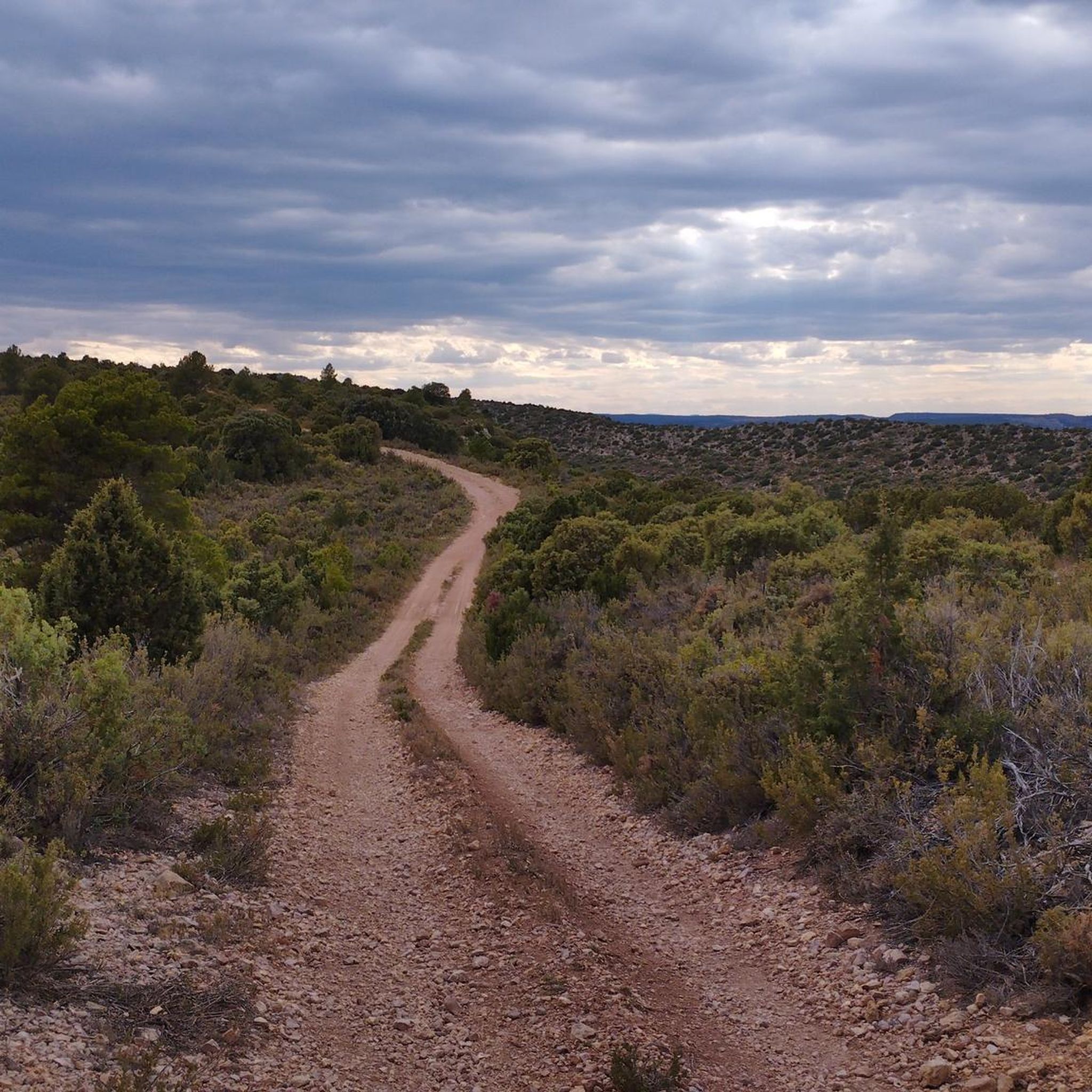
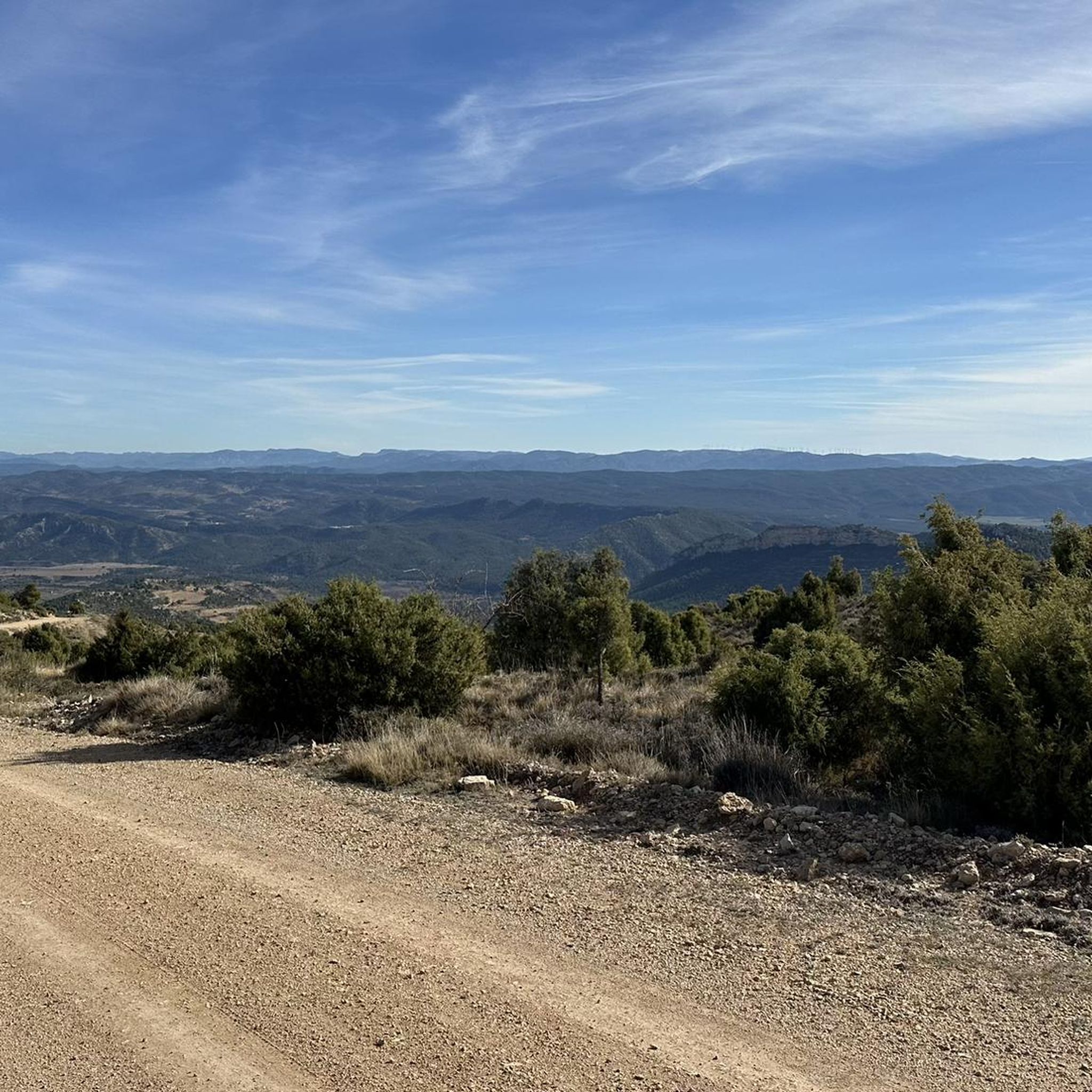
Hiking around Los Olmos offers diverse terrain, characterized by mountainous areas and river valleys, such as those along the Guadalopillo River. The region features a network of trails that traverse varying elevations, providing opportunities to explore both natural landscapes and historical sites. Hikers can expect paths that wind through rural settings, occasionally passing by reservoirs and cultural landmarks.
Best hiking trails around Los Olmos
- The most popular hiking route is Mountains - Mills by the Guadalopillo River, a 7.9…
Last updated: June 29, 2026
1
hikers
12.7km
03:26
180m
180m
Moderate hike. Good fitness required. Easily-accessible paths. Suitable for all skill levels.
29.0km
07:52
400m
400m
Hard hike. Very good fitness required. Easily-accessible paths. Suitable for all skill levels.

Sign up for free
4.5
(10)
7
hikers
7.50km
01:59
70m
70m
Easy hike. Great for any fitness level. Easily-accessible paths. Suitable for all skill levels.
5.0
(2)
5
hikers
6.50km
01:43
60m
60m
Easy hike. Great for any fitness level. Easily-accessible paths. Suitable for all skill levels.
3
hikers
9.10km
02:29
140m
140m
Moderate hike. Good fitness required. Easily-accessible paths. Suitable for all skill levels.
Get access to more routes and recommendations from other explorers.
Sign up for free
Already have an account?
Our route recommendations are based on thousands of hikes, rides, and runs completed by other people on komoot.
Start today with a free account
Your next adventure awaits.
Login or Signup

Tips from the Community

The Sanctuary/Monastery of Santa María del Olivar is located in Estercuel, within the natural setting of the Serranía de Montalbán mountain range, in the Andorra-Sierra de Arcos region. Although often referred to as a sanctuary, its official name is the Monastery of Santa María del Olivar. It is one of the most important historical and artistic monuments in the area and has been a significant spiritual center for over seven centuries. Located 4 km from Estercuel, in the province of Teruel, it lies within the river valley and is surrounded by pine forests. It sits atop a hill at an altitude of 700 meters, overlooking the valley watered by the Escuriza River.
2
0

We are in the town of Gargallo, located at the foot of Muela Alta. Another of the beautiful towns in Teruel where we highlight the Church of Nuestra Señora de la Piedad, the Hermitage of San Blas or the Nacimiento del Río Escuriza.
1
0

This marvelous Aragonese Gothic-style Monastery was built in the 16th century and is located in a privileged natural environment that is worth visiting. With the possibility of spending a retreat and rest stay in addition to other activities, this site offers everything you need. For more information you can consult the official website: https://www.monasterioelolivar.com/
1
1
This town in the interior of Teruel has been located in a privileged environment at the foot of the Muela Alta. It is very quiet and picturesque, with many alternative hiking trails to explore the area and the Maestrazgo Cultural Park.
1
0
Nice town in the interior of Teruel that stands out for its beautiful and quiet environment that surrounds it. Here you can visit its churches and a small waterfall on the Gaudalopillo river that runs through it. Its streets are very picturesque and tranquility reigns in this town.
2
0

Andorra is located between the valleys of the Martín and Guadalope rivers, next to the small Regallo river. It is located on the side of a hill 714 m above sea level, where it originated, although now it has been moving towards the plain. The population was known in the middle of the 20th century for the arrival of the railway that gave way to the mining activities of the population of Andorra.
1
0
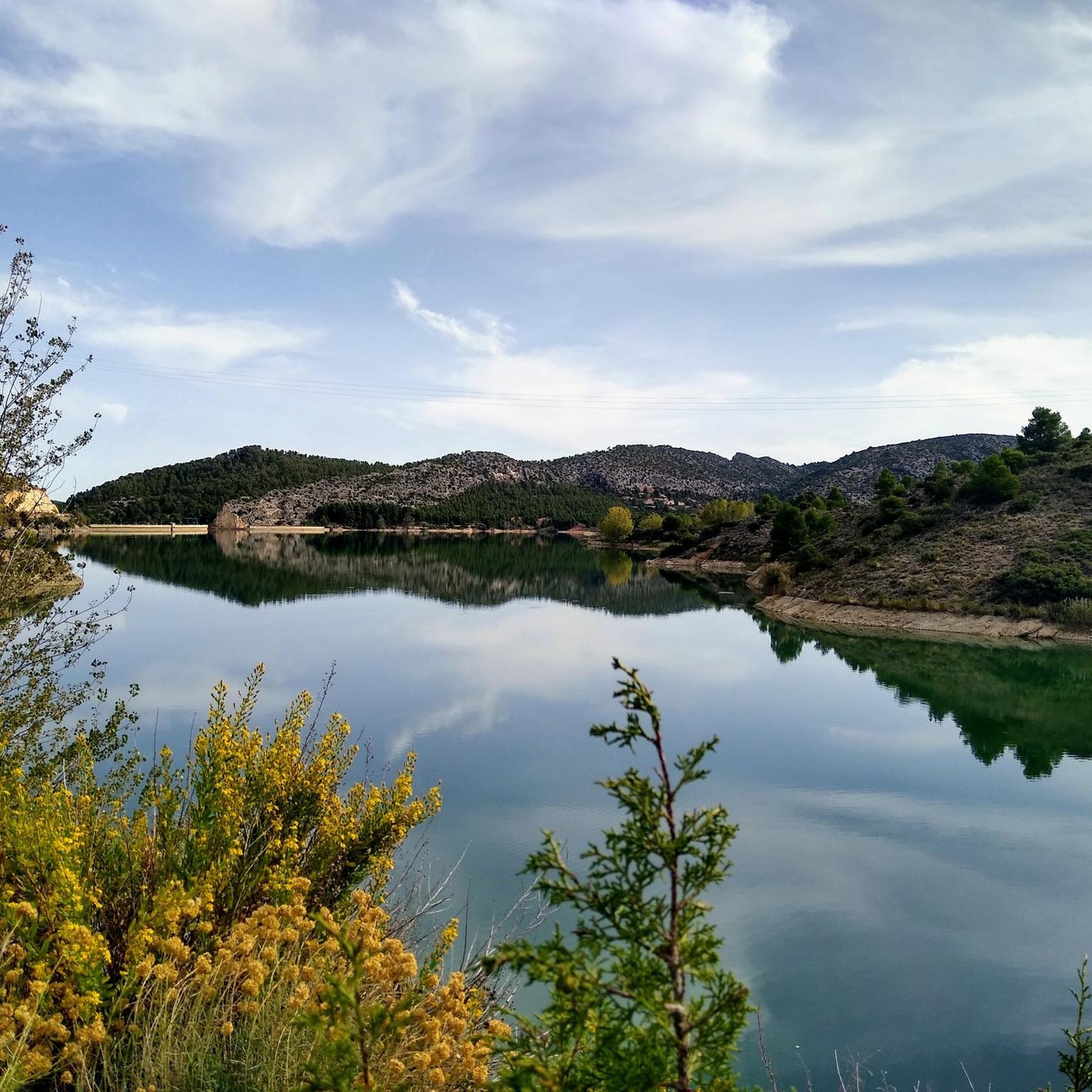
The Gallipén reservoir is a dam that collects the waters of the Guadalopillo river as it passes through the town of Berge.
0
0

Frequently Asked Questions
How many hiking trails are available in Los Olmos?
Los Olmos offers a network of around 9 hiking trails, catering to various skill levels. These routes traverse diverse terrain, including mountainous areas and river valleys.
Are there easy hiking options for beginners or casual walkers?
Yes, Los Olmos has several easy trails. For instance, the Andorra loop from Andorra is an easy 4.7-mile (7.5 km) path that takes about 2 hours to complete, leading through varied local landscapes. Another easy option is the Gallipuén Reservoir loop from Berge, which is 4.1 miles (6.6 km).
What kind of landscapes can I expect to see while hiking in Los Olmos?
The region is characterized by dramatic landscapes, including mountainous sections, river valleys like the Guadalopillo River, and rural paths. You'll find trails winding through varying elevations, offering views of natural landscapes and historical sites. The area's geology often features exposed rock formations and diverse ecosystems.
Are there any circular routes in Los Olmos?
Yes, several circular routes are available. A popular choice is the Andorra loop from Andorra, which offers a pleasant circuit through local scenery. Another option is the Gallipuén Reservoir loop from Berge, providing a scenic loop around the reservoir.
What historical or cultural sites can I visit near the hiking trails?
Los Olmos is rich in history. You can explore the Sanctuary of Santa María del Olivar, a significant religious building. The challenging Gargallo - Monastery of Santa María del Olivar (PR-TE 93) route specifically leads to this historic monastery, offering extensive views along the way. You might also encounter other landmarks like Torre Piquer.
Can I see any waterfalls or unique natural features?
Yes, the region features natural wonders such as the San Nicolás de Molinos Waterfall. Additionally, you can explore the Grutas de Cristal, which are unique cave formations.
What do other hikers enjoy most about hiking in Los Olmos?
The hiking routes in Los Olmos are highly rated by the komoot community, with an average score of 4.75 stars from over 12 reviews. Hikers often praise the diverse terrain, the blend of natural landscapes with historical sites, and the options available for different ability levels.
Are the trails in Los Olmos suitable for families with children?
Many of the easier and moderate trails in Los Olmos are suitable for families. Routes that are shorter and have less elevation gain, such as the easy loops, can be a great option for a family outing. Always check the specific trail details for distance and difficulty to ensure it matches your family's capabilities.
What kind of wildlife might I encounter on the trails?
The diverse ecosystems of Los Olmos provide habitats for various wildlife. While specific sightings depend on the season and location, you might have opportunities to spot local birds, deer, and other small mammals in the more secluded areas.
Is there a trail that combines river views with mountainous terrain?
Absolutely. The Mountains - Mills by the Guadalopillo River trail is a moderate 7.9-mile (12.7 km) route that perfectly combines these elements. It explores mountainous terrain while following the scenic Guadalopillo River.
What is the best time of year to go hiking in Los Olmos?
Los Olmos generally experiences a good number of sunny days throughout the year, making hiking possible in most seasons. Spring and autumn often offer the most pleasant temperatures for exploring the trails, with vibrant foliage or blooming wildflowers. However, with proper preparation, hiking can be enjoyed year-round.
Most popular attractions around Los Olmos

Get inspired with the komoot mobile app


Explore more
Browse the best Hikes in other regions.
