The best MTB trails around Vera De Moncayo
4.5
(30)
456
riders
91
rides
Mountain bike trails around Vera De Moncayo are set within the diverse landscapes of the Moncayo Natural Park, which spans Aragon and Castilla-León. The terrain offers a mix of exposed peaks, dense oak and pine forests, and lush valleys. This region provides varied mountain biking experiences, from technical enduro sections to well-maintained XC/rally routes. The area is characterized by the rugged Moncayo massif, offering a range of elevations and natural features for exploration.
Best mountain bike trails around Vera De…
Last updated: July 4, 2026
9
riders
37.6km
04:04
1,420m
1,420m
Ascend to Moncayo's summit from Fuente de los Frailes on this difficult 23.4-mile mountain bike route with panoramic views.
2
riders
Hard mountain bike ride. Very good fitness required. Advanced riding skills necessary.

Sign up for free
5.0
(1)
2
riders
40.9km
03:55
800m
800m
Moderate mountain bike ride. Good fitness required. Advanced riding skills necessary.
29
riders
65.7km
06:42
1,600m
1,600m
Hard mountain bike ride. Very good fitness required. Advanced riding skills necessary.
5.0
(1)
23
riders
33.6km
03:24
760m
760m
Moderate mountain bike ride. Good fitness required. Suitable for all skill levels.
Get access to more routes and recommendations from other explorers.
Sign up for free
Already have an account?
Our route recommendations are based on thousands of hikes, rides, and runs completed by other people on komoot.
Start today with a free account
Your next adventure awaits.
Login or Signup

Tips from the Community

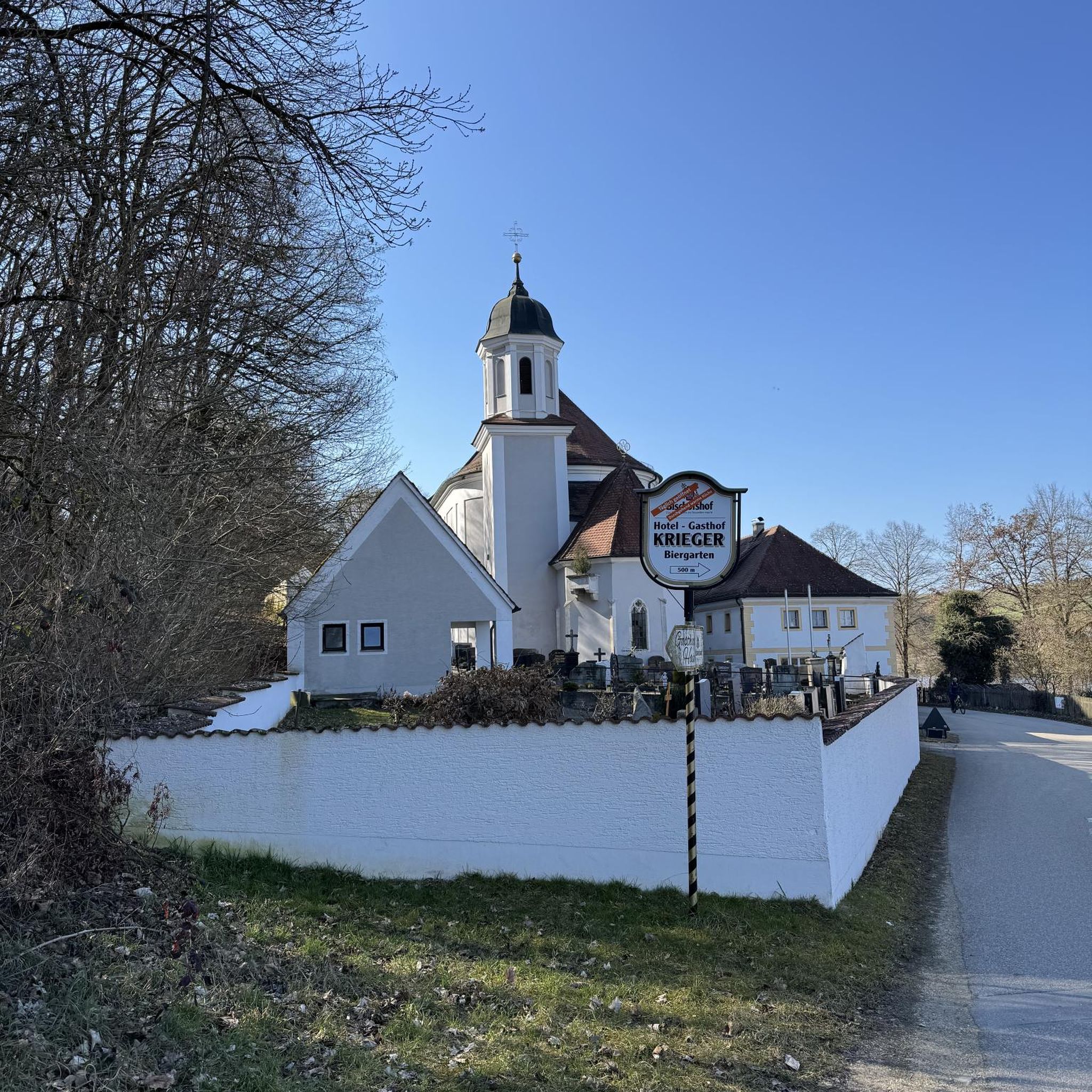
This small town of fewer than 300 inhabitants boasts a mycology center. It is also home to the Church of San Martín de Tours, a neo-Romanesque church with colonial American art.
0
0

The summit of Moncayo, also known as Pico San Miguel, is the highest mountain in the Iberian system, with an altitude of 2315 metres. It is located between the provinces of Zaragoza (Aragon) and Soria (Castile and Leon) in Spain. To reach the summit, many hikers start from the Sanctuary of the Virgin of Moncayo, located at 1621 metres. From there, the route passes through the Cucharón cirque and the San Miguel basin before reaching the summit. The route offers spectacular views and is especially popular in spring and summer.
5
0

Real Monasterio de Santa María de Veruela, or "The Royal Monastery of Santa María de Veruela") is a Cistercian abbey from the 12th century. It is located near Vera de Moncayo. It was founded in 1146 by Pedro de Atarés. Source wikipedia.
1
0

Moncayo never disappoints. From Cueva de Agreda the climb is longer and harder, but it is worth the sacrifice. The views from the summit, towards Aragon and towards Castilla, are impressive.
1
0

The Talamantes castle was built in the 11th century with the purpose of defending the border crossing between Castile and Aragon in the Valdeherrera and Valdetreviño ravines. Although much of the fortification is in a state of ruin, the north wall and one of its towers are still quite well preserved.
0
0

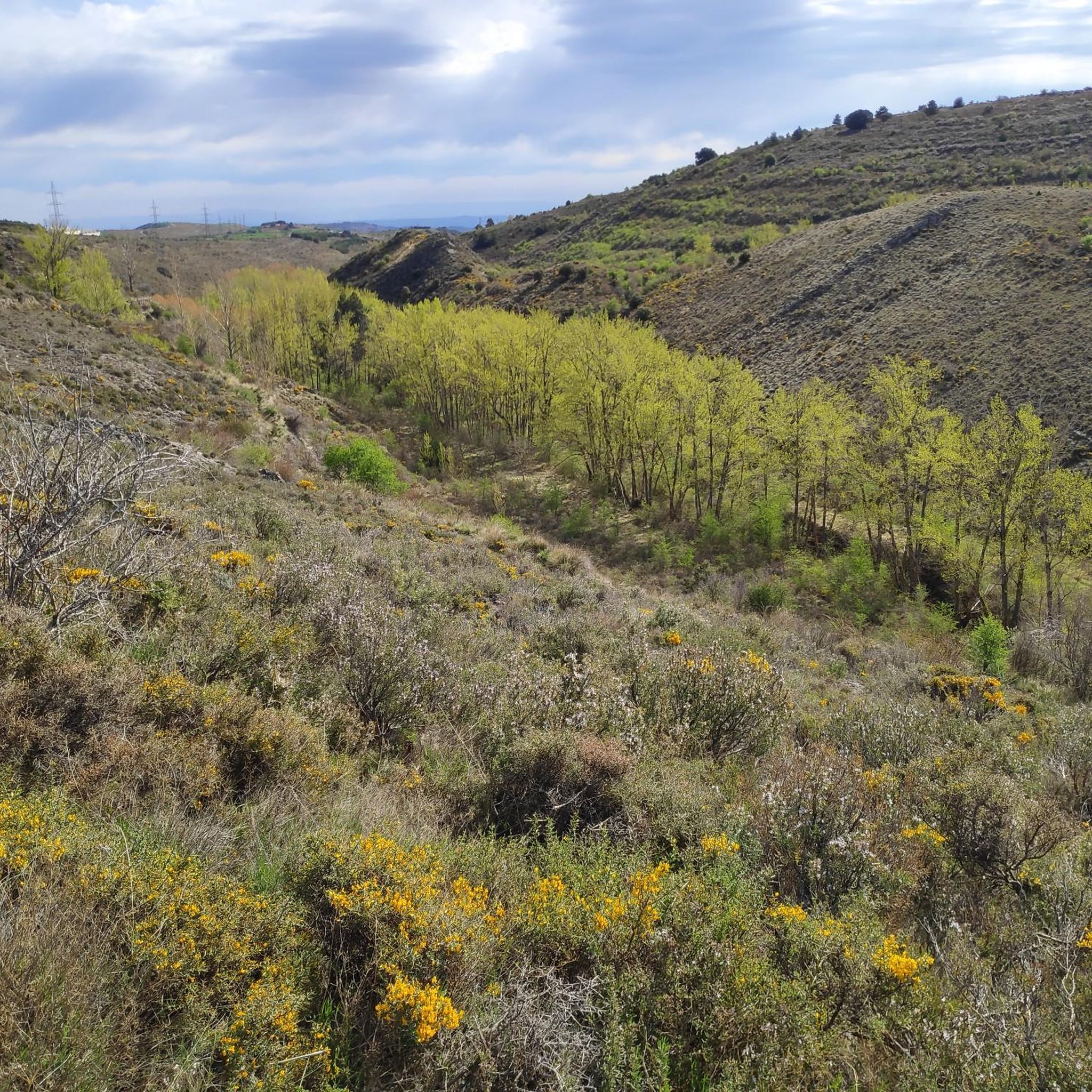
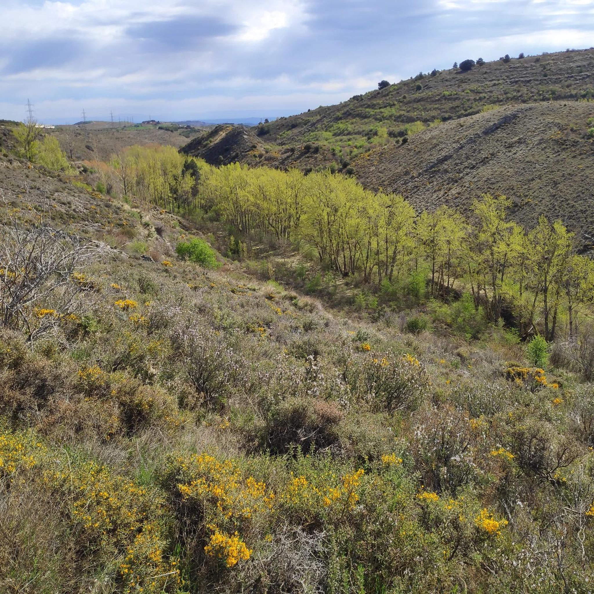
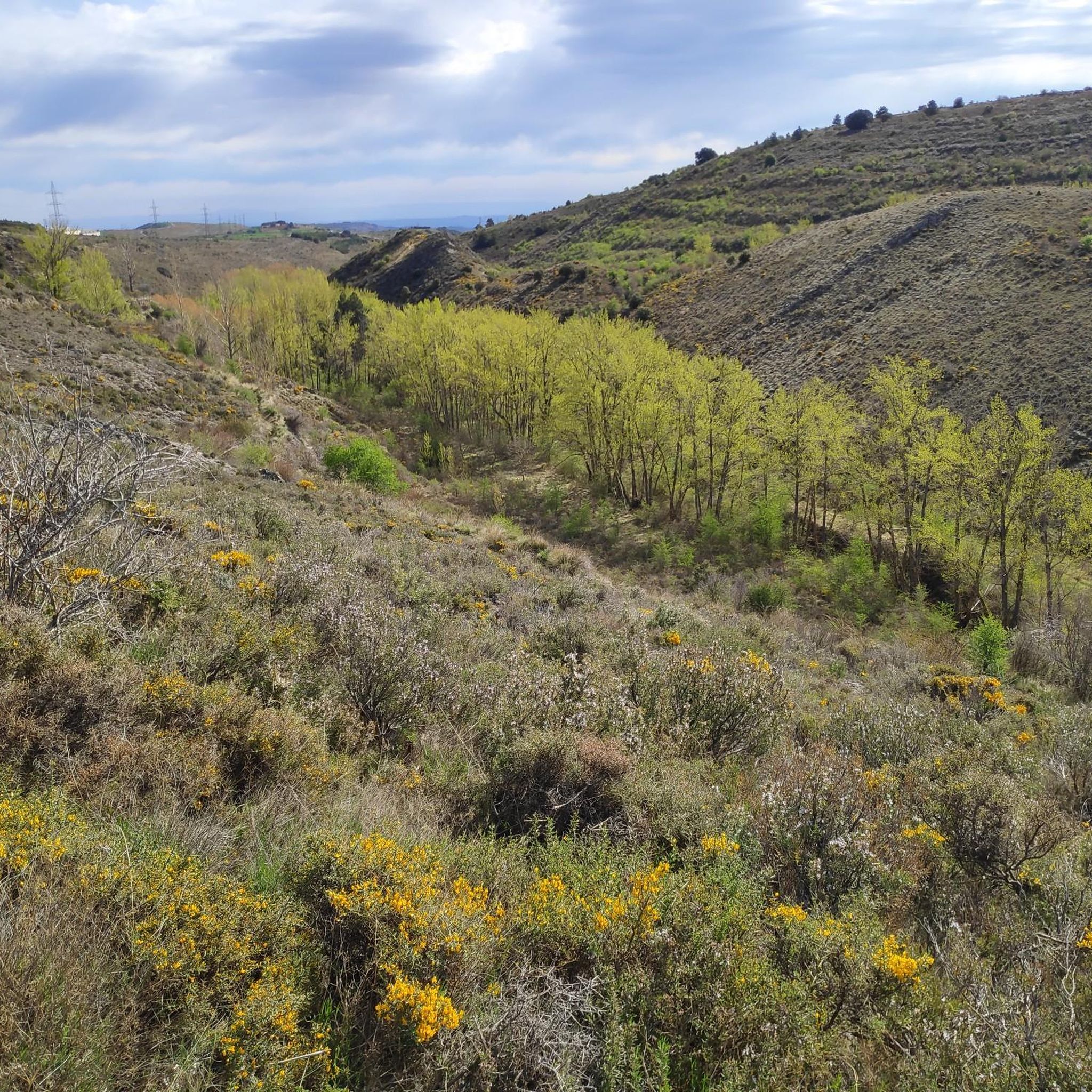
From this section of the GR 90, if you look in a northwesterly direction, you can see a fantastic view of the Moncayo Natural Park and its black pine forests that make their way between the rocky slopes.
0
0
At this point of the GR 90.1 you have magnificent views of the Moncayo peak.
1
0
The GR 90.1, between Ágreda and Ambel, runs through a beautiful area of dense forest with meadows in the clearings, from which you can contemplate the surroundings.
2
1
Frequently Asked Questions
What types of mountain bike trails can I expect around Vera De Moncayo?
The Moncayo Natural Park offers a diverse range of mountain biking experiences. You'll find everything from technical enduro sections for experienced riders to well-maintained XC/rally routes for demanding ascents, and gentler 'rouleur rally routes' suitable for beginners. Overall, there are over 90 mountain bike routes, with 10 easy, 54 moderate, and 33 difficult options available.
Are there circular mountain bike routes in the Vera De Moncayo area?
Yes, many routes in the area are circular, allowing you to start and end in the same location. For example, you can explore the heart of the Moncayo Natural Park on the Sierra del Moncayo — circular (PR-Z 182), a moderate 25.4-mile path. Another option is the challenging Vistas a La Muela de Horcajuelo, Cerro Morrón y las Peñas de Herrera — circular desde Añón de Moncayo, which is 26.5 miles long and offers panoramic views.
What are some notable landmarks or viewpoints I can see along the mountain bike trails?
The trails often pass by significant natural and historical sites. You can find stunning vistas like the Cabezo de la Mata and the Views of the Peñas de Herrera. The majestic Moncayo Summit is a prominent feature, and you might also encounter the Snow Well of Prado de Santa Lucía, a historical man-made monument.
Is Vera De Moncayo suitable for family mountain biking?
While the region is known for its challenging terrain, there are also gentler 'rouleur rally routes' that are more suitable for beginners or those seeking a leisurely exploration. For specific family-friendly options, look for routes categorized as 'easy' in the komoot app, which typically have less elevation gain and smoother surfaces.
What is the best time of year for mountain biking in Vera De Moncayo?
The Moncayo Natural Park offers diverse conditions throughout the year. While the higher peaks can be snow-capped in winter, the lower elevations and valleys provide good riding conditions for much of the year. Spring and autumn generally offer pleasant temperatures and vibrant landscapes, making them ideal for exploring the trails. Always check local weather conditions before heading out.
Are there any long-distance or challenging mountain bike routes for experienced riders?
Yes, the region caters to ambitious riders. The Enbalse alto de El Prado loop from Vera de Moncayo is a challenging 40.7-mile trail that typically takes over 6 hours to complete, leading through the landscape surrounding the El Prado reservoir. For an even greater challenge, the Moncayo Marathon is a formidable 105-kilometer route with 2,500 meters of elevation gain, considered one of the most demanding in Aragon.
What do other mountain bikers say about the trails in Vera De Moncayo?
The mountain bike routes in Vera De Moncayo are highly rated by the komoot community, with an average score of 4.5 stars from over 30 reviews. Riders often praise the varied terrain, the stunning views of the Moncayo massif, and the well-maintained tracks that cater to different skill levels.
Can I find places to eat or stay near the mountain bike trails?
Vera De Moncayo and the surrounding villages offer amenities for visitors. While specific cafes or pubs on trails are limited, you can find options in the settlements. The Fuente del Sacristán Picnic Area is a designated spot for rest and refreshments. For accommodation, the region has various options, from guesthouses in villages like Vera de Moncayo to larger towns like Tarazona and Borja.
Is it possible to access the trails using public transport?
While the region is well-suited for outdoor activities, public transport options directly to trailheads can be limited. It's advisable to check local bus schedules or consider driving to access the starting points of the trails, especially those deeper within the Moncayo Natural Park. Some villages, like Vera de Moncayo, serve as good starting points.
Are there any permits required for mountain biking in Moncayo Natural Park?
Generally, no specific permits are required for mountain biking on established trails within the Moncayo Natural Park. However, it's always good practice to respect local regulations, stay on marked paths, and be aware of any temporary restrictions, especially during hunting seasons or for environmental protection. There is no mention of specific permits for general mountain biking in the region research.
What is the longest mountain bike route starting near Vera de Moncayo?
One of the longest routes is the View of Moncayo – View of Moncayo Natural Park loop from Lituénigo, which is a difficult 70.2-mile trail. This extensive route offers significant elevation changes and panoramic views, typically taking over 7 hours to complete.
Most popular routes around Vera De Moncayo
Most popular attractions around Vera De Moncayo

Get inspired with the komoot mobile app


Explore more
Browse the best MTB trails in other regions.
