The best walks and hikes around Biosphere Salzburger Lungau and Kärntner Nockberge
4.6
(43045)
210,128
hikers
258
hikes
Hiking around Biosphere Salzburger Lungau and Kärntner Nockberge features diverse inner-alpine landscapes, with elevations ranging from approximately 600 meters to 3,000 meters above sea level. The Kärntner Nockberge are characterized by distinctive gentle, rounded, grass-covered peaks known as "Nock'n." This region encompasses typical Central Alpine ecosystems, including mountain meadows and marshes, and is home to mixed forests and high-altitude Swiss pine forests.
Best hiking trails around Biosphere Salzburger Lungau and Kärntner Nockberge
- The most popular hiking route is From the…
Last updated: October 24, 2026
4.7
(125)
561
hikers
Moderate hike. Good fitness required. Easily-accessible paths. Suitable for all skill levels.
4.8
(111)
499
hikers
Moderate hike. Good fitness required. Mostly accessible paths. Sure-footedness required.

4.9
(76)
382
hikers
8.08km
03:16
610m
610m
Moderate hike. Good fitness required. Mostly accessible paths. Sure-footedness required.
4.9
(17)
146
hikers
1.81km
00:38
110m
110m
Easy hike. Great for any fitness level. Easily-accessible paths. Suitable for all skill levels.
4.6
(22)
98
hikers
7.05km
02:35
390m
390m
Moderate hike. Good fitness required. Mostly accessible paths. Sure-footedness required.
Get access to more routes and recommendations from other explorers.
Already have an account?
Our route recommendations are based on thousands of hikes, rides, and runs completed by other people on komoot.
Start today with a free account
Your next adventure awaits.
Popular around Biosphere Salzburger Lungau and Kärntner Nockberge

Central Alps Trail Eastern Section – Discover Austria
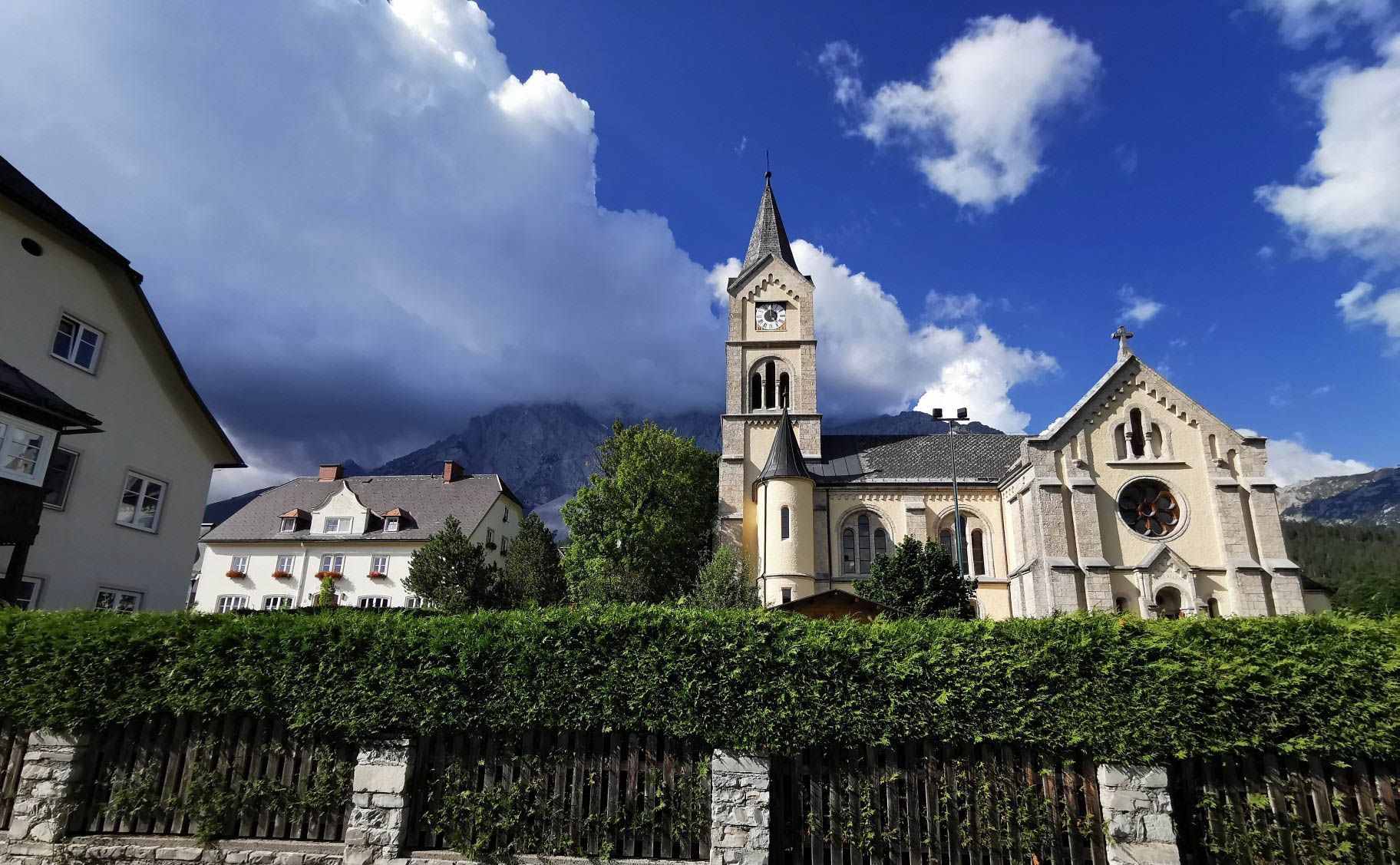
Way of the Book – Hike in the footsteps of the Bible smugglers in Austria
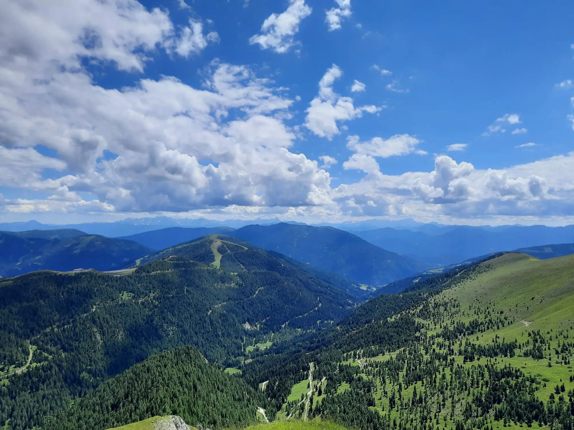
Hiking the Lake Millstatt Trail in Austria – One lake, 10 mountains, 12 days

Alpe-Adria-Trail: My long-distance hike from the glacier to the sea
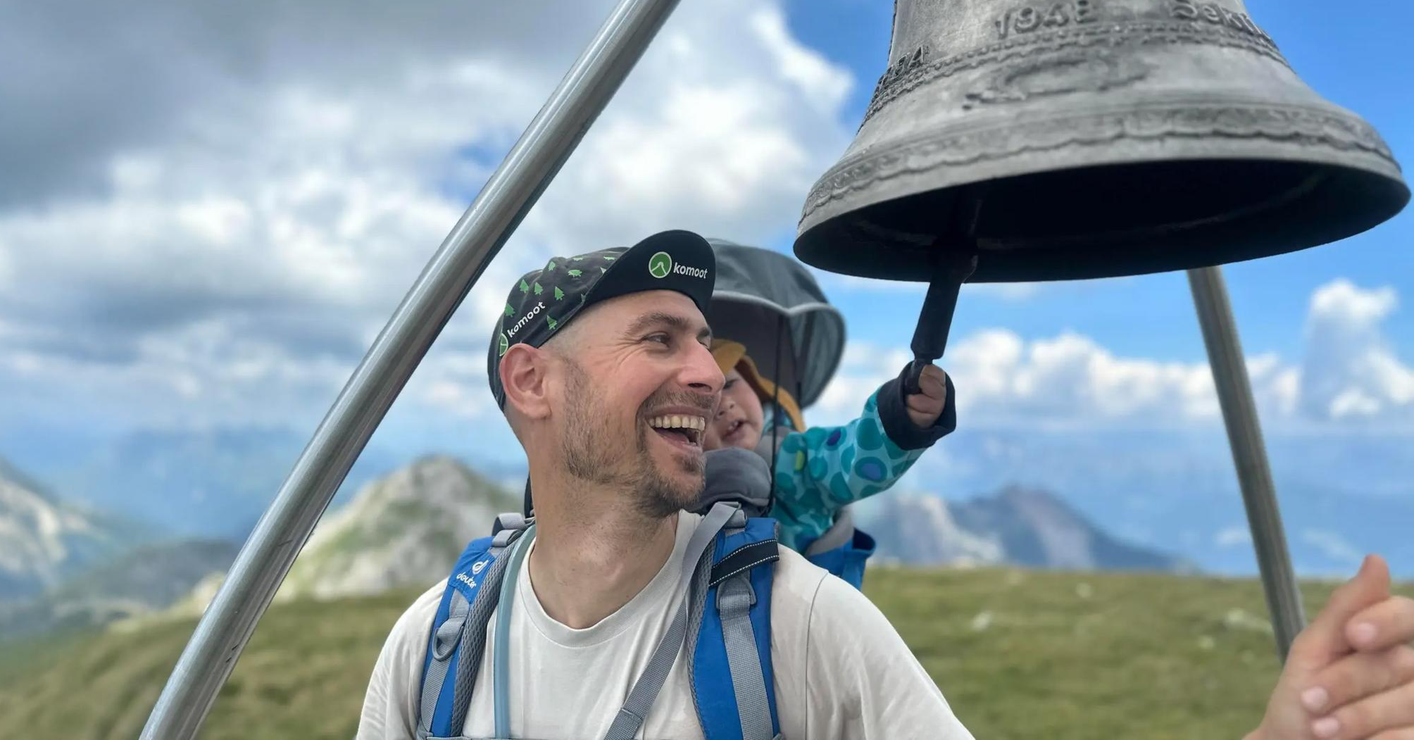
Summit hikes for families – discovery routes with a view in Carinthia
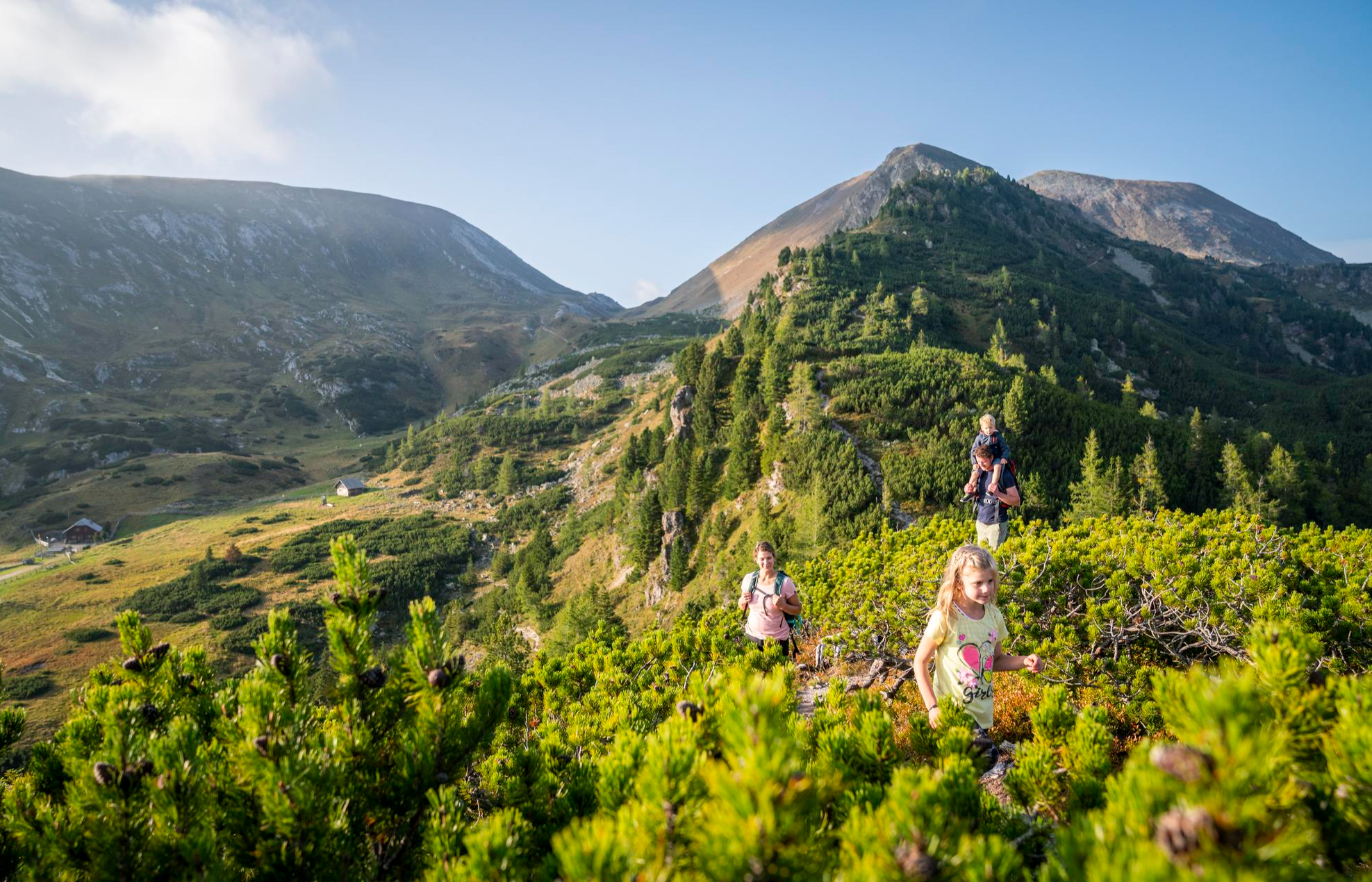
Joyous adventures experienced together – family hiking in Carinthia
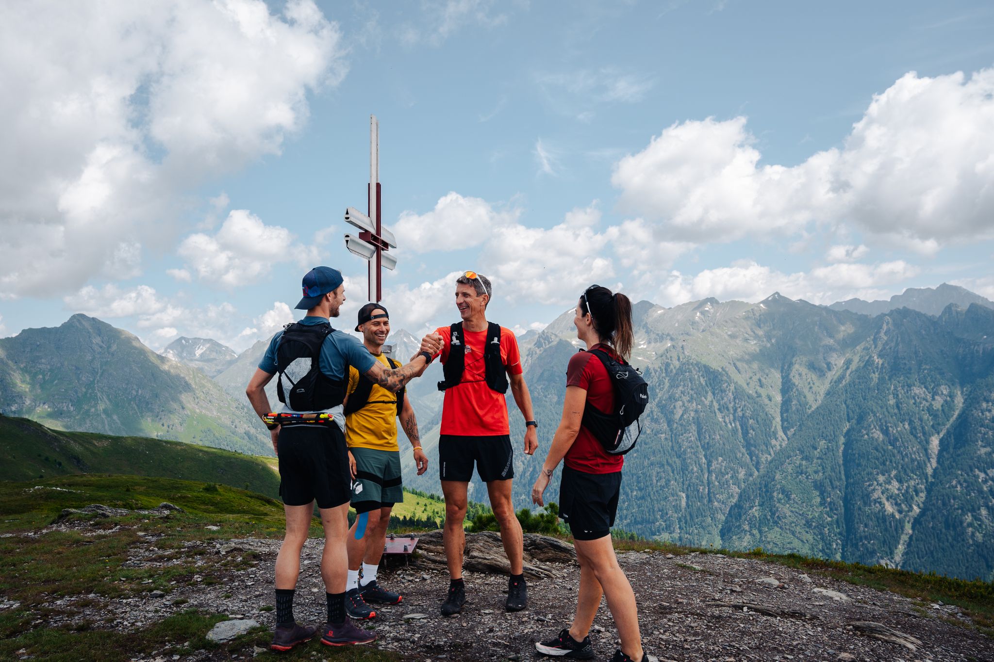
Lungauer Tauern Crown - Hike & Trail through the Salzburg Lungau
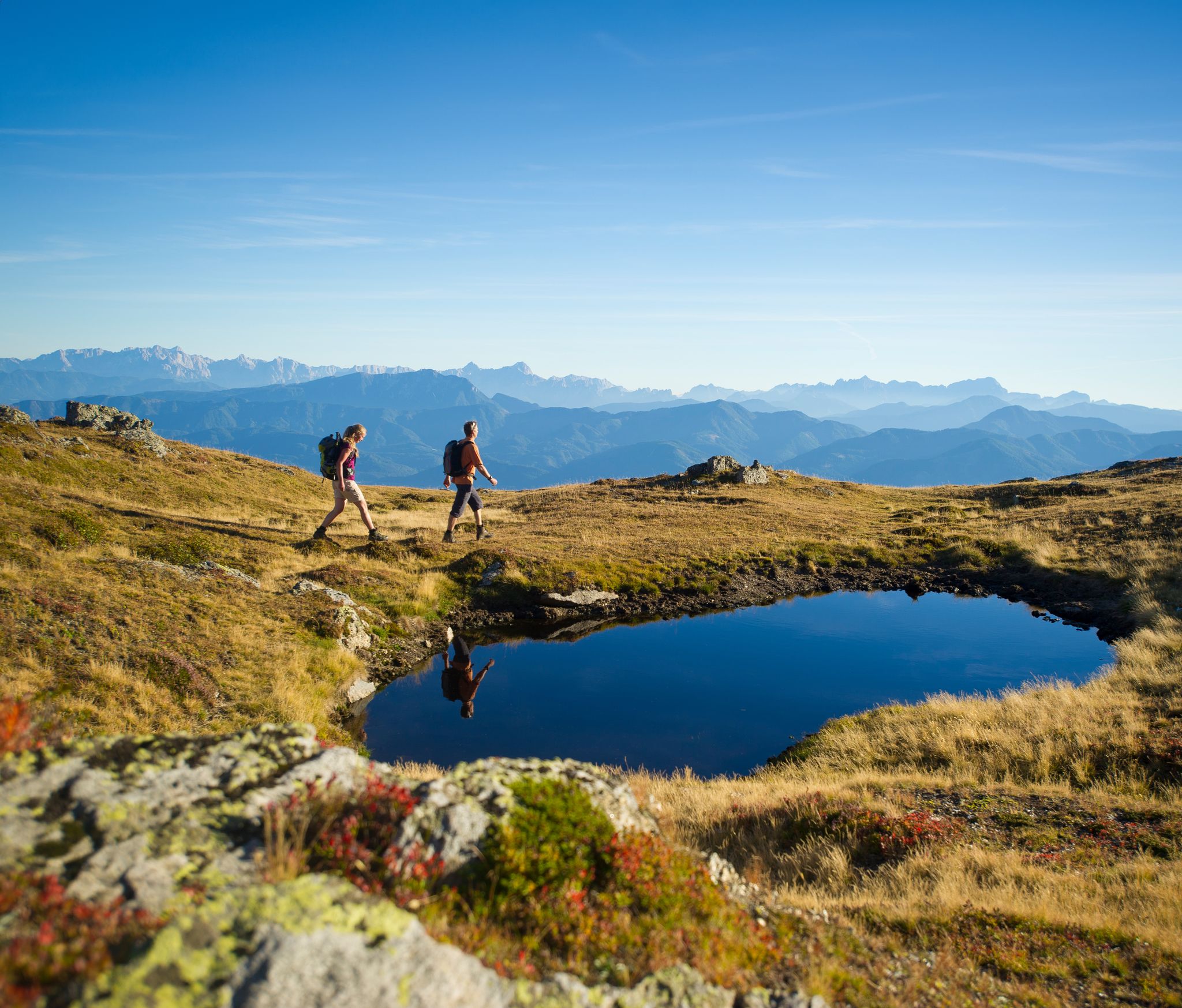
Hiking Without a Footprint on the Alpe-Adria-Trail
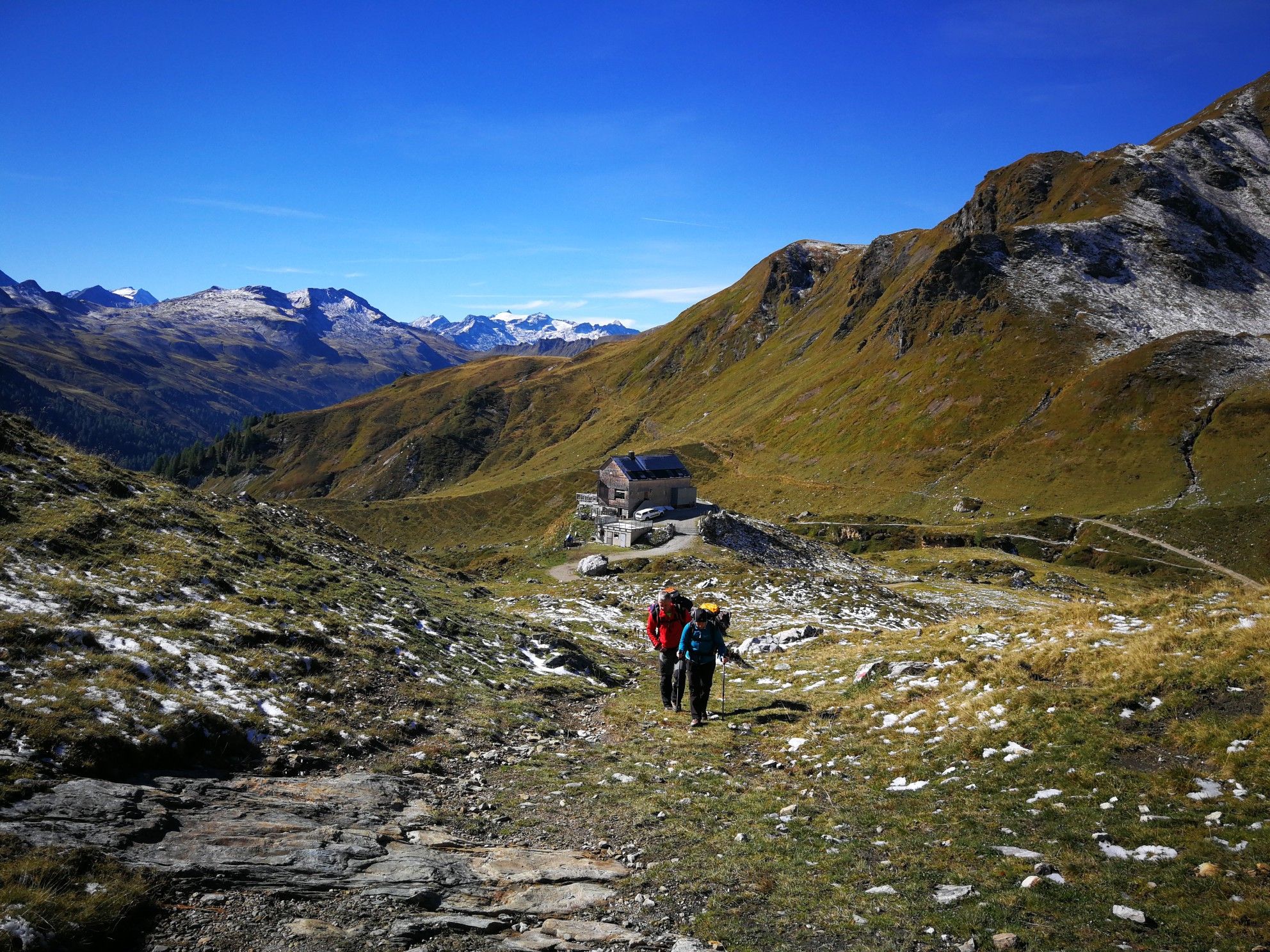
Lower Austria to Carinthia — our favourite huts in Austria
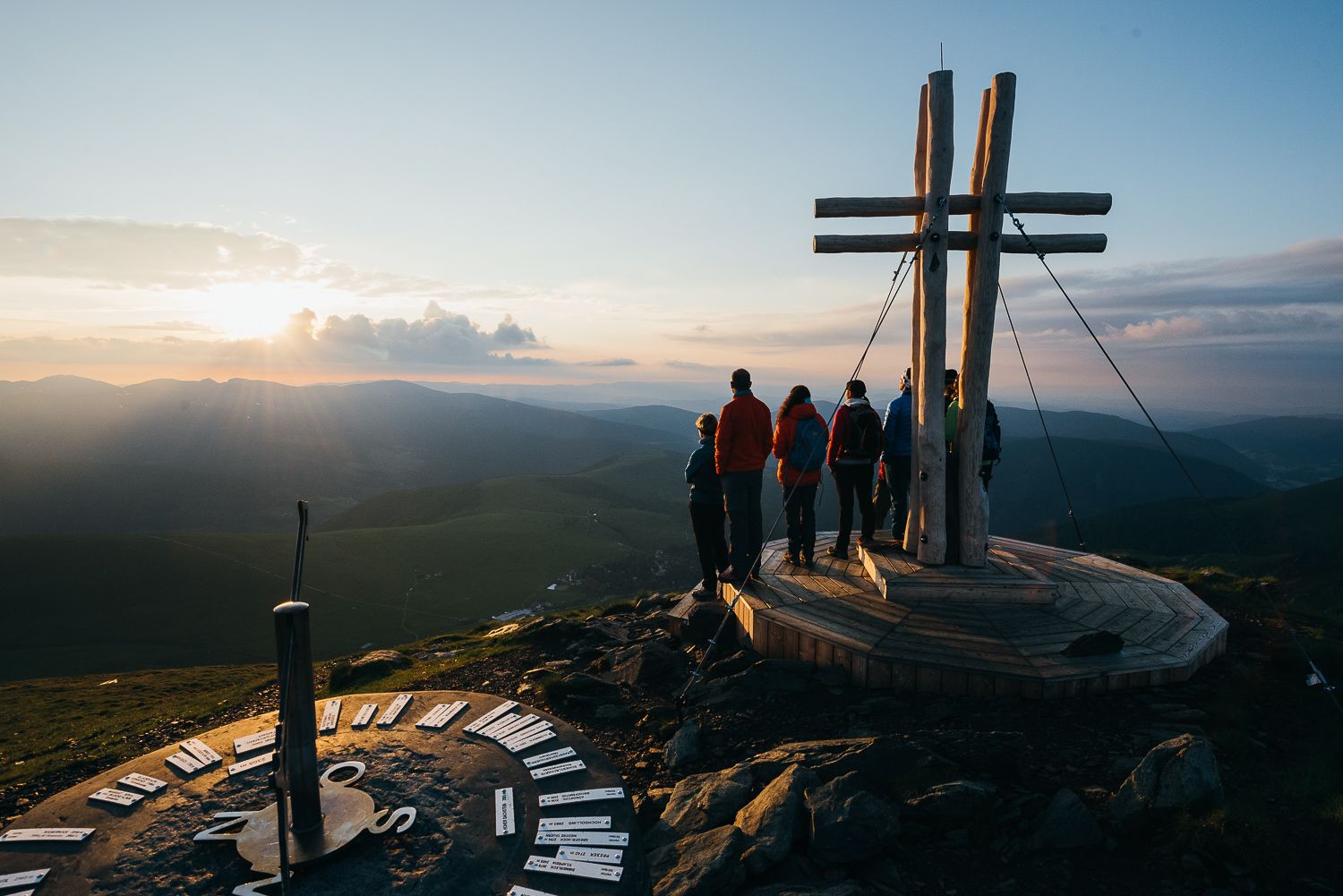
The mountains at sunrise — hikes in Austria’s Nock mountains
Other adventures around Biosphere Salzburger Lungau and Kärntner Nockberge


Tips from the Community

Even in winter, a beautiful ski tour to the Königstuhl
0
0
beautiful transition from Rosaninsee to Königstuhl
0
0

In late winter, the northern side offers very good snowshoeing conditions, but at the summit it can sometimes be blown clear or sun-baked.
7
0
Beautiful panoramic summit with a great downhill slope to the Zechneralm
0
0

...when driving along the Nockalm Road, you should definitely take a detour here! 🥾👀
1
0
...when driving along the Nockalm Road, you should definitely take a detour here! 🥾👀
1
0
...when driving along the Nockalm Road, you should definitely take a detour here! 🥾👀
1
0
Frequently Asked Questions
How many hiking trails are available in the Biosphere Salzburger Lungau and Kärntner Nockberge?
The Biosphere Salzburger Lungau and Kärntner Nockberge offers a vast network of over 260 hiking routes. These range from easy strolls to challenging multi-day treks, catering to all ability levels.
What kind of landscapes can I expect to see while hiking in this region?
You'll experience diverse inner-alpine landscapes, from deep valleys to high mountains reaching up to 3,000 meters. The Kärntner Nockberge are particularly known for their unique 'Nock'n' – gentle, rounded, grass-covered peaks. The region also features mountain meadows, marshes, mixed forests, and high-altitude larch and Swiss pine forests.
Are there any easy hiking trails suitable for beginners or families?
Yes, the region offers 48 easy routes perfect for beginners or families. An example of a shorter, easy hike is To the summit Eisentalhöhe - Styrian Nockberge Mountains, which is just under 2 km long.
What are some notable natural features or landmarks to look out for on the trails?
Hikers can discover several unique natural features. The Preber region in Salzburger Lungau features the idyllic Prebersee lake nestled within a moorland landscape. The Riedingtal Nature Park boasts the beautiful Schlierersee lake. You can also explore mountain passes like Eisentalhöhe 2,042 m or the distinctive Nock Mountains themselves.
Are there any circular hiking routes available?
Yes, the region offers numerous circular hikes. Many trails are designed to bring you back to your starting point, allowing for varied day trips. For example, the popular Through the Thunder Gorge to the Königsstuhl - Styrian Nockberge Mountains is a moderate circular path.
What do other hikers say about the trails in Biosphere Salzburger Lungau and Kärntner Nockberge?
The trails are highly regarded by the komoot community, with an average rating of 4.7 stars from over 5,700 reviews. Hikers frequently praise the region's diverse scenery, well-maintained paths, and the unique, gentle peaks of the Nockberge.
Can I find mountain huts or places to rest along the hiking routes?
Yes, there are several mountain huts and cabins available for rest and refreshments. Notable options include the Franz-Fischer Hut, St. Oswalder Bock Hut, and Rotgüldensee Hut, providing convenient stops on longer treks.
What is the best time of year to go hiking in this Biosphere Reserve?
The best time for hiking is generally from late spring to early autumn (May to October), when the trails are clear of snow and the weather is most favorable. This allows you to fully enjoy the mountain meadows and higher-altitude paths.
Are there any guided hiking tours available?
Yes, certified nature and landscape guides, known as 'Biosphere Park Fexn,' offer special guided hikes. These tours help visitors discover the region's natural treasures and learn more about its unique biodiversity and ecosystems.
Are there any trails that lead to high-altitude viewpoints?
Many hikes in the region lead to breathtaking viewpoints at altitudes of up to 2,000 meters, offering magnificent panoramic views of the Eastern Alps. A challenging route like Königstuhl - from Karlbad via the Eisentalhöhe provides such an experience.
What is the Nockberge Trail?
The Nockberge Trail is a 128 km long-distance hiking trail consisting of eight stages. It's suitable for multi-day hikes and offers stunning views of the Eastern Alps and panoramic roads, making it a great option for more extensive trekking.
Are there any trails that are particularly good for spotting wildlife?
The Biosphere Reserve is rich in biodiversity, encompassing typical Central Alpine ecosystems. Hikers might encounter a variety of flora and fauna, including eagle owls, black woodpeckers, capercaillies, bats, badgers, and even lynx or bears in more remote areas, especially in the mixed and Swiss pine forests.
Most popular routes around Biosphere Salzburger Lungau and Kärntner Nockberge
Most popular attractions around Biosphere Salzburger Lungau and Kärntner Nockberge

Get inspired with the komoot mobile app


Explore more
Browse the best Hikes in other regions.
