Natural Park Eisenerzer Reichenstein - Krumpensee
Natural Park Eisenerzer Reichenstein - Krumpensee
The best mountain hikes around Natural Park Eisenerzer Reichenstein - Krumpensee
4.8
(50)
1,085
hikers
36
hikes
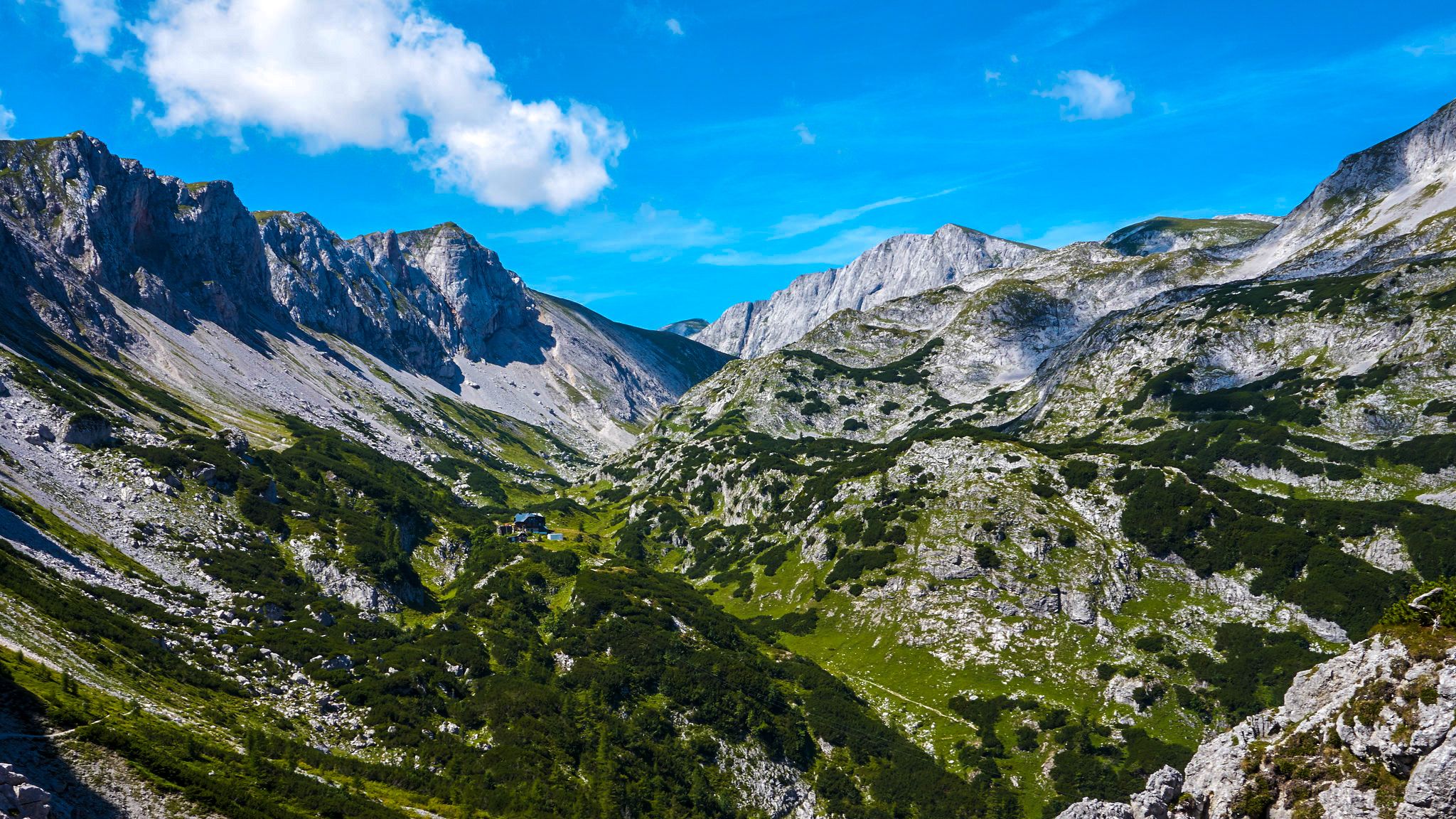
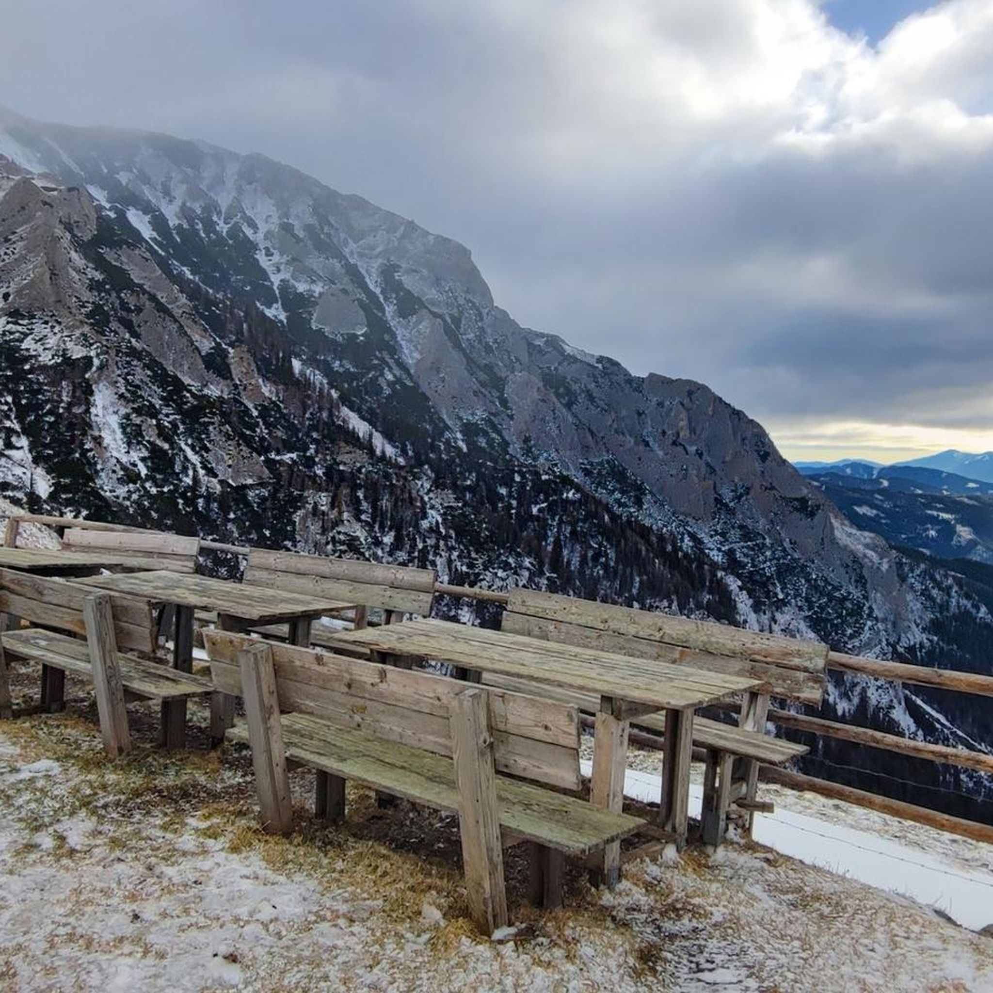
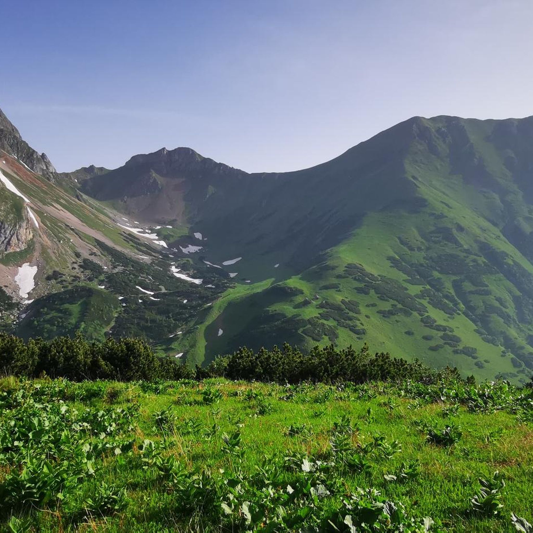
Mountaineering around Natural Park Eisenerzer Reichenstein - Krumpensee offers diverse terrain characterized by majestic peaks, serene alpine lakes, and rugged mountain ridges. The region features significant summits like the Eisenerzer Reichenstein, standing at 2165 meters, and the Polster Summit at 1910 meters. Dense forests and expansive alpine meadows contribute to a varied landscape, providing challenging ascents and panoramic views. Krumpensee Lake, a highlight under nature protection, adds to the natural features of the area.
Best mountaineering routes around Natural Park…
Last updated: June 26, 2026
5.0
(9)
259
hikers
8.68km
04:52
850m
850m
Hard mountaineering route. Good fitness required. Sure-footedness, sturdy shoes and alpine experience required.
18
hikers
6.57km
02:32
450m
450m
Moderate mountaineering route. Good fitness required. Mostly accessible paths. Sure-footedness required.

Sign up for free
10
hikers
4.68km
02:41
480m
480m
Moderate mountaineering route. Good fitness required. Mostly accessible paths. Sure-footedness required.
5.0
(4)
102
hikers
11.0km
05:03
900m
900m
Hard mountaineering route. Very good fitness required. Sure-footedness, sturdy shoes and alpine experience required.
5.0
(1)
80
hikers
16.8km
07:39
1,300m
1,300m
Hard mountaineering route. Very good fitness required. Sure-footedness, sturdy shoes and alpine experience required.
Get access to more routes and recommendations from other explorers.
Sign up for free
Already have an account?
Our route recommendations are based on thousands of hikes, rides, and runs completed by other people on komoot.
Start today with a free account
Your next adventure awaits.
Login or Signup
Popular around Natural Park Eisenerzer Reichenstein - Krumpensee

North-South Trail through Austria – Small country, big paths!
The BergZeitReise – a beautiful long-distance hiking trail across Styria
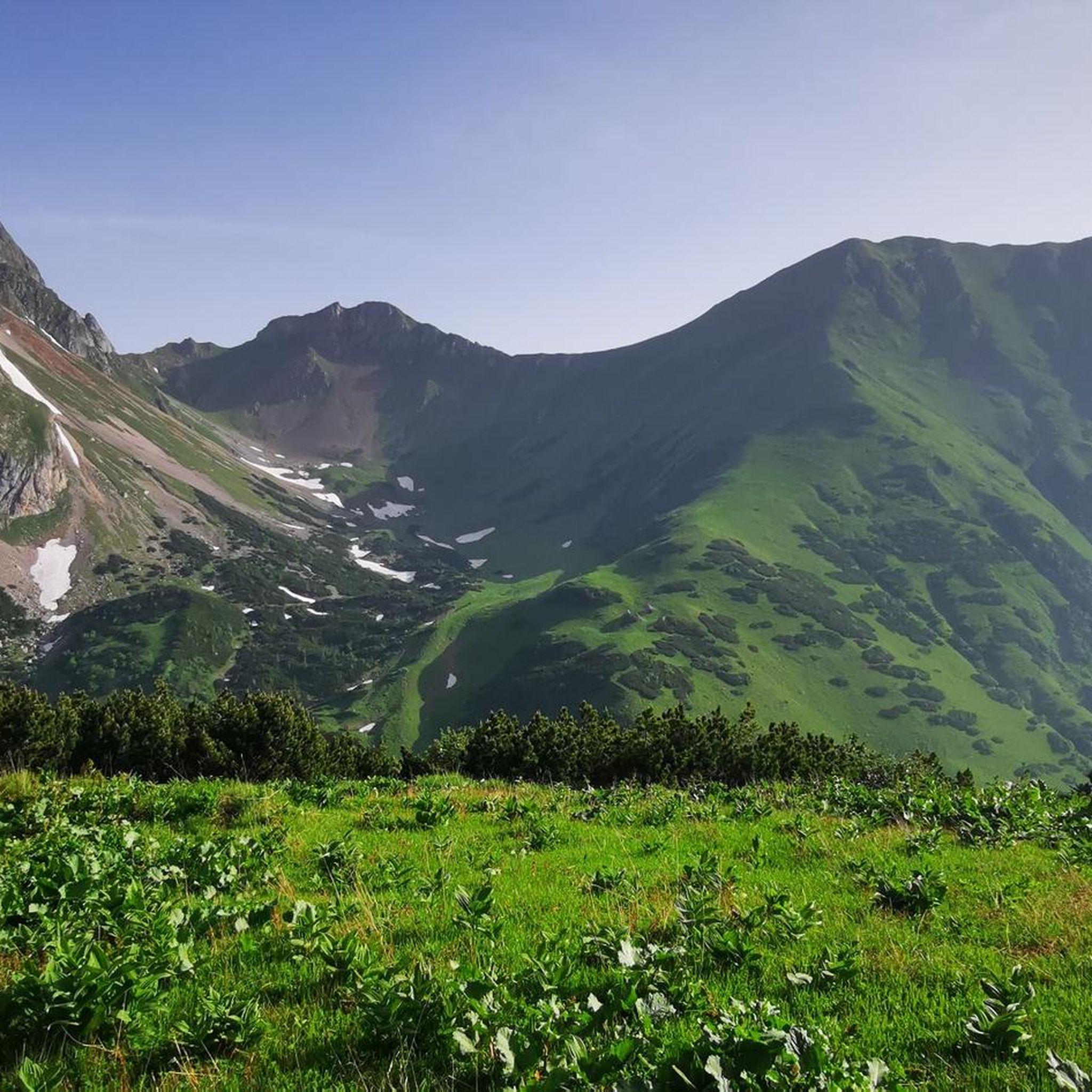
Hiking around Natural Park Eisenerzer Reichenstein - Krumpensee
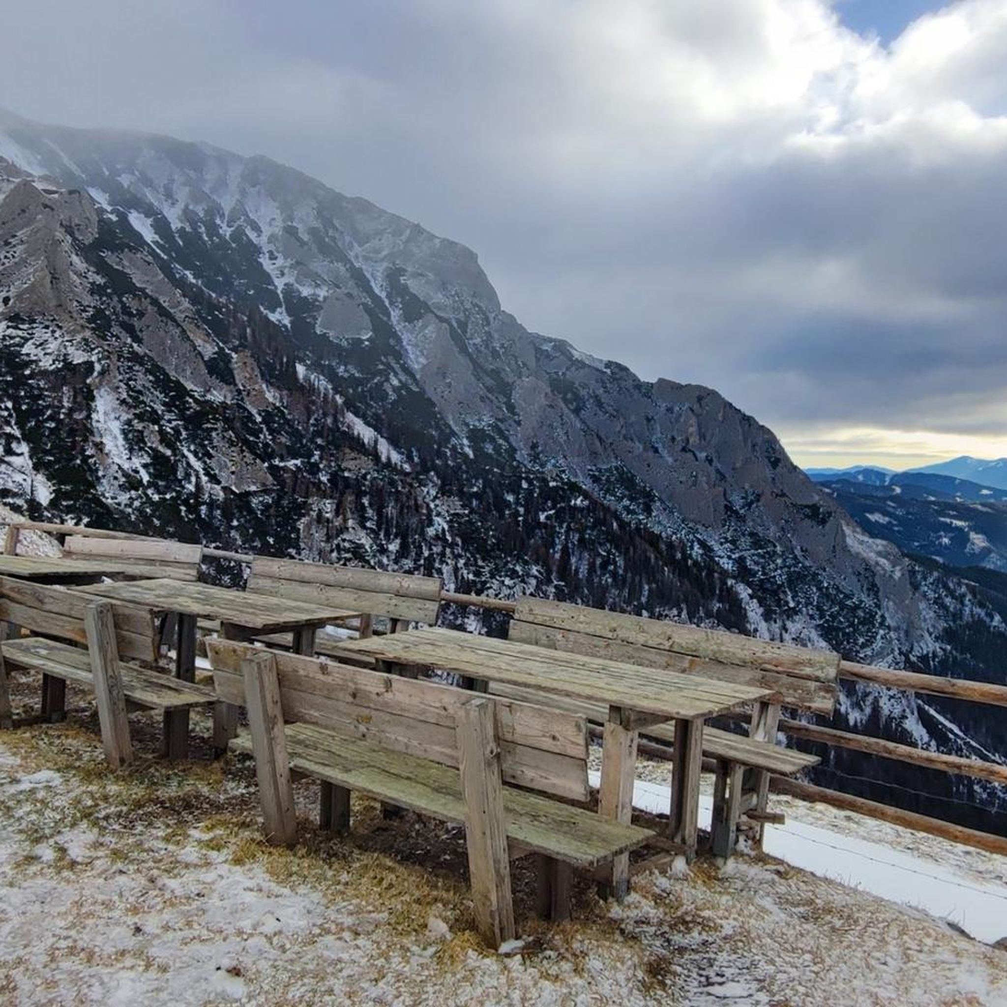
Running Trails around Natural Park Eisenerzer Reichenstein - Krumpensee
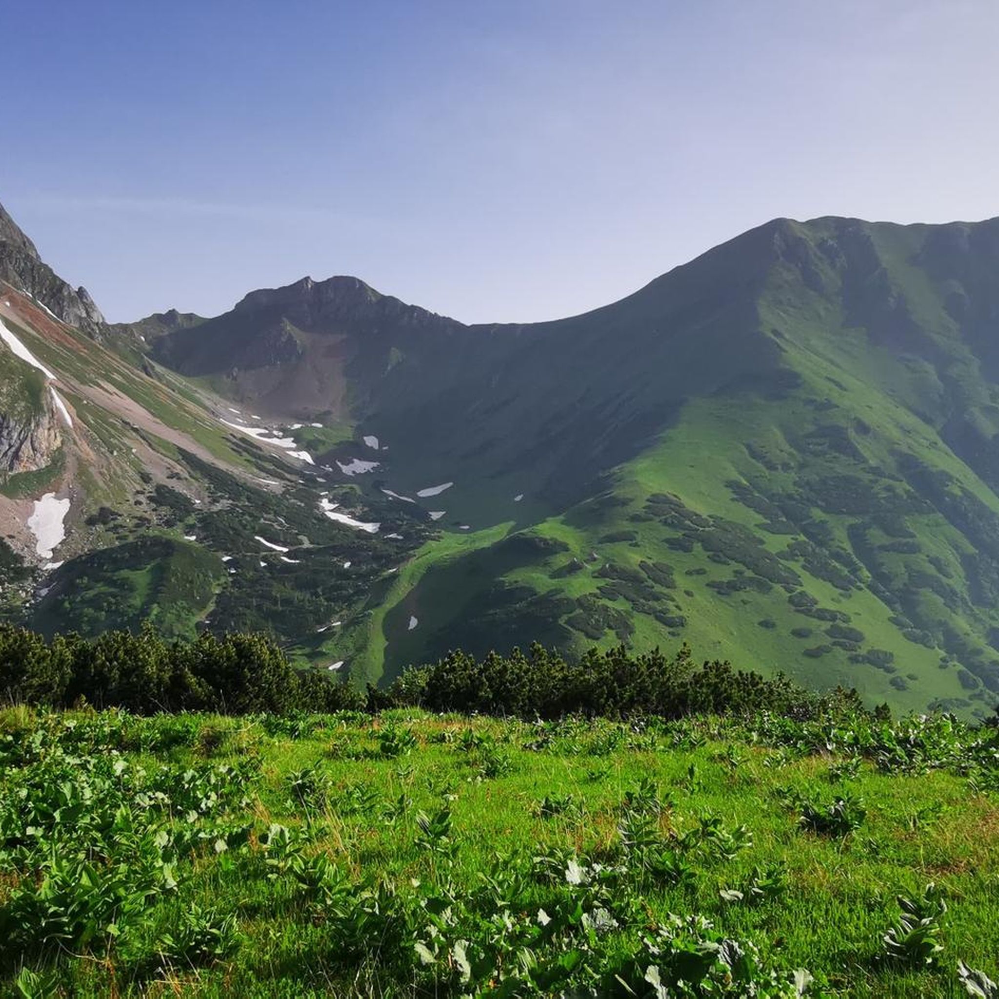
MTB Trails around Natural Park Eisenerzer Reichenstein - Krumpensee
Cycling around Natural Park Eisenerzer Reichenstein - Krumpensee
Road Cycling Routes around Natural Park Eisenerzer Reichenstein - Krumpensee
Other adventures around Natural Park Eisenerzer Reichenstein - Krumpensee


Tips from the Community

Super great summit, best in May and September. Ascent strenuous but doable.
0
0

Over a width of several meters, a lot of water gushes out of the slope here to support itself as the Krumpenbach downstream. Beautiful panoramic view over the valley and the surrounding landscape.
0
0
Short breather on a climb or descent rich in altitude meters to/from the Krumpalm.
0
0


A dreamlike view after a strenuous hike
0
0

The Krumpen Waterfall is always worth a photo!
0
0
A hike to Lake Krumpensee is simply beautiful! From the Hirnalm, it's a beautiful hike to Lake Krumpensee!
0
0
Good condition and water is clear and drinkable
0
0
Frequently Asked Questions
What kind of terrain can I expect on mountaineering routes in Natural Park Eisenerzer Reichenstein - Krumpensee?
The region offers a diverse landscape, from serene alpine lakes and dense forests to rugged mountain ridges and expansive alpine meadows. You'll encounter varied terrain, including challenging ascents to majestic peaks like the Eisenerzer Reichenstein (2165 m) and the Polster Summit (1910 m). Many trails require good fitness and sure-footedness, with some even featuring climbing sections of the second difficulty grade.
Are there any easier mountaineering routes suitable for beginners in the Natural Park?
While many routes are demanding, there are options for those seeking a less strenuous experience. For instance, the Rösselhals – Präbichlerhof loop from Präbichl is a moderate 4.7 km path that traverses varied terrain, including sections of forest and open mountain, making it a good choice for those with some experience but not looking for extreme challenges.
What natural features and landmarks can I see along the mountaineering routes?
The Natural Park is rich in natural beauty. You can explore the picturesque Krumpensee lake, which is under nature protection and home to rare alpine crested newts. Other notable features include the Eisenerzer Reichenstein summit, the Rösselhals mountain pass, and the Krumpen Waterfall. You might also encounter the Source of the Krumpenbach.
Are there any circular mountaineering routes in the Natural Park?
Yes, the region offers several scenic circular routes. A popular option is the Reichenstein hut – Präbichlerhof loop from Präbichl, a difficult 8.5 km trail that provides a comprehensive experience of the Reichenstein area. Another challenging circular route is the Reichenstein hut – Eisenerz Reichenstein loop from Zur Hirnalm, covering 16.2 km.
What is the best time of year for mountaineering in Natural Park Eisenerzer Reichenstein - Krumpensee?
The best time for mountaineering is generally from late spring to early autumn. During this period, trails are typically free of snow, and weather conditions are more stable. Late autumn can also offer spectacular views during inversion weather conditions, extending over Dachstein to the Großglockner.
Can I bring my dog on the mountaineering trails?
While many trails in the region are generally dog-friendly, it's always advisable to check specific route regulations. Given the demanding terrain and potential for wildlife encounters, ensure your dog is well-behaved, on a leash, and capable of handling the physical demands of the chosen route. Remember to pack enough water for both yourself and your pet.
Are there any mountain huts or places to rest along the routes?
Yes, the Reichensteinhütte is a notable mountain hut that serves as an excellent resting point and offers options for overnight stays, making longer tours more feasible. You might also find the Krumpalm Hut along some routes.
What are the parking options for accessing mountaineering routes in the area?
Many routes, such as those starting from Präbichl or Zur Hirnalm, typically have designated parking areas nearby. It's recommended to check the starting point of your chosen route for specific parking information. Public transport options might be limited, so planning your journey by car is often the most convenient way to access trailheads.
What are the difficulty levels of the mountaineering routes in Natural Park Eisenerzer Reichenstein - Krumpensee?
The routes vary significantly in difficulty. Out of 36 available tours, 21 are classified as moderate, and 15 are difficult. Many trails require good to very good fitness, sure-footedness, and alpine experience. Some routes even feature climbing sections of the second difficulty grade, so it's crucial to choose a route that matches your skill level.
Are there any routes that offer particularly good panoramic views?
Absolutely. Mountaineers are rewarded with spectacular panoramic views from many summits, including the Eisenerzer Reichenstein. The Hieflerkogel also offers particularly beautiful vistas. In late autumn, during inversion weather conditions, you might even see as far as Dachstein and the Großglockner, along with impressive views of the Hochtor group and Admont Reichenstein.
Can I find routes that lead to multiple summits?
Yes, the extensive trail network often leads to multiple summits. For example, the Hochturm Summit – Leobner Hut loop from Präbichl is a challenging 14.1 km route that takes you through alpine landscapes and offers the chance to conquer a significant peak.
What do other mountaineers enjoy most about the Natural Park Eisenerzer Reichenstein - Krumpensee?
The area is highly rated by the komoot community, with an average score of 4.8 stars from over 40 reviews. Reviewers often praise the diverse and striking landscapes, the challenging ascents, and the rewarding panoramic views. Many appreciate the opportunity to enjoy the beauty and silence of nature undisturbed, especially on less frequently traveled routes.
Most popular routes around Natural Park Eisenerzer Reichenstein - Krumpensee
Most popular attractions around Natural Park Eisenerzer Reichenstein - Krumpensee

Get inspired with the komoot mobile app


Explore more
Browse the best Mountain Hikes & Routes in other regions.
