The best walks and hikes around Bubach
4.5
(5962)
19,336
hikers
715
hikes
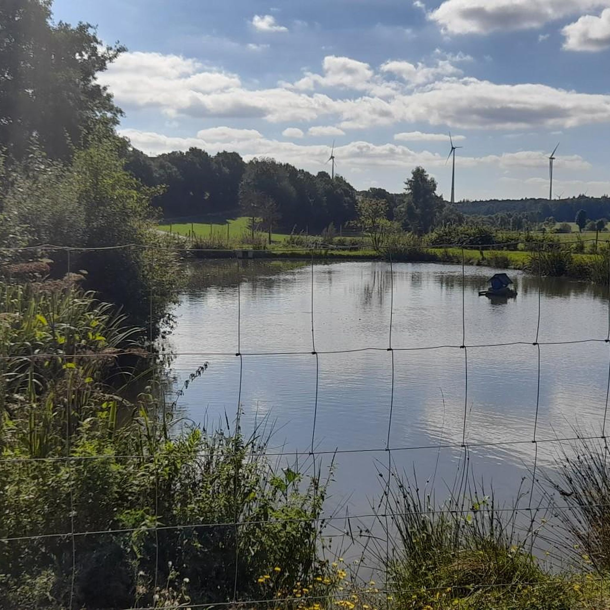
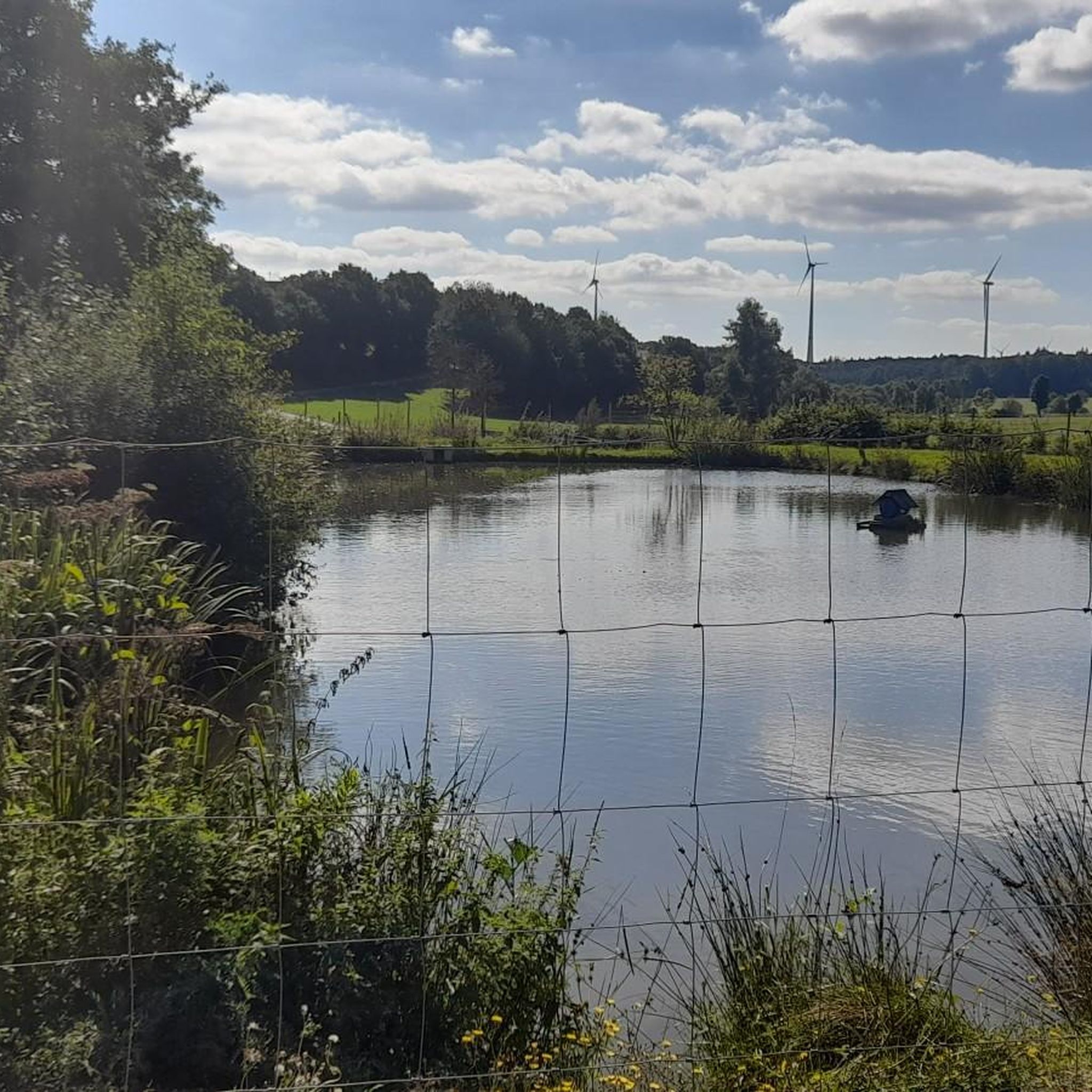
Hiking around Bubach offers diverse trails through varied natural features. The region is characterized by wooded areas, including the Bubach Forest Pond, providing picturesque water features. Hikers can find paths ranging from easy walks with minimal elevation gain to more challenging routes with significant changes in altitude. These trails cater to various fitness levels, making Bubach a suitable destination for different hiking experiences.
Best hiking trails around Bubach
- The most popular hiking route is War Memorial Glauer – Favorite Spot Pallet Bench loop from Lingerhahn, an easy 3.7 miles (6.0 km) trail that takes 1 hour 33 minutes to complete. This loop features gentle elevation changes through the landscape.
- Another top favourite among local hikers is Bubach Tree Trail – Riegenroth Evangelical Church loop from Bubach, a moderate 7.3 miles (11.8 km) path. This route explores wooded areas and includes moderate elevation changes.
- Local hikers also love the Riegenroth Evangelical Church – Bubach Forest Pond loop from Riegenroth, a 4.0 miles (6.5 km) trail leading through forest and past the Bubach Forest Pond, often completed in about 1 hour 44 minutes.
- Hiking around Bubach is defined by wooded areas, forest ponds, and varied elevation changes. The network offers options for different ability levels, from easy walks to more demanding treks.
- The routes in Bubach are highly rated by the komoot community with an average score of 4.5 stars from over 5,100 reviews. More than 18,000 hikers have used komoot to explore Bubach's varied terrain.
Last updated: October 4, 2026
5.0
(26)
16
hikers
Easy hike. Great for any fitness level. Easily-accessible paths. Suitable for all skill levels.
5.0
(25)
11
hikers
Easy hike. Great for any fitness level. Easily-accessible paths. Suitable for all skill levels.

4.0
(2)
5
hikers
11.9km
03:12
160m
160m
Moderate hike. Good fitness required. Easily-accessible paths. Suitable for all skill levels.
4.0
(2)
7
hikers
12.0km
03:17
180m
180m
Moderate hike. Good fitness required. Easily-accessible paths. Suitable for all skill levels.
4.5
(2)
3
hikers
9.90km
02:39
120m
120m
Moderate hike. Good fitness required. Easily-accessible paths. Suitable for all skill levels.
Get access to more routes and recommendations from other explorers.
Already have an account?
Our route recommendations are based on thousands of hikes, rides, and runs completed by other people on komoot.
Start today with a free account
Your next adventure awaits.
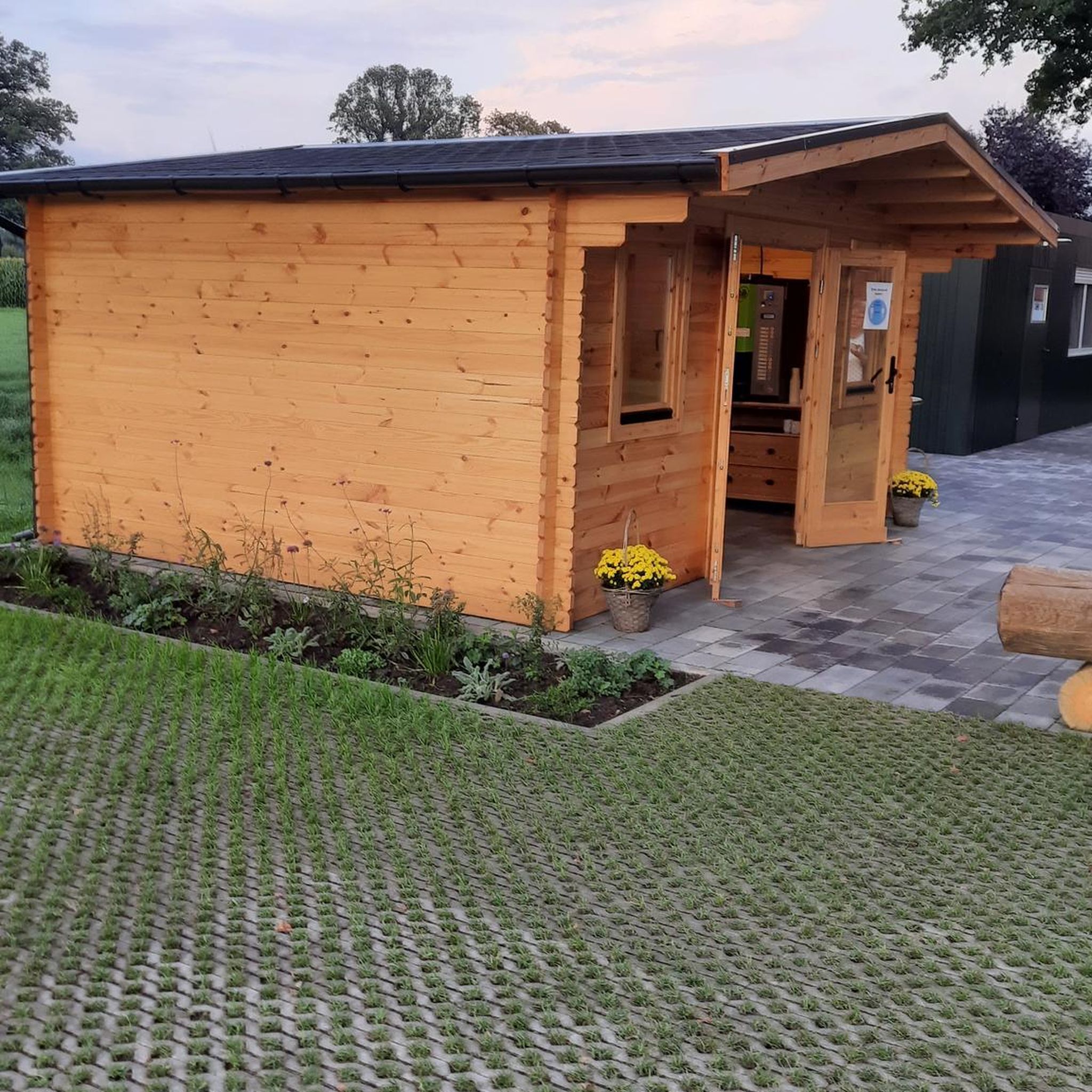
Tips from the Community

A real highlight in the Vorderhunsrück
0
0

Good starting point for a tour
0
0
Good opportunity for refreshments...
0
0
Great cycle path across the Hunsrück region...almost in any weather...
0
0
Perfectly done, a good opportunity to take a break.
0
0

In 1988, train service was stopped, the tracks were dismantled and the Schinderhannes cycle path was built from Pfalzfeld to Simmern. Extremely popular with cyclists, skaters and hikers!
0
0

Large square with many rest areas
0
0
Frequently Asked Questions
How many hiking trails are available around Bubach?
Bubach offers a wide variety of hiking experiences, with over 700 trails to choose from. These routes cater to different preferences and fitness levels, ensuring there's something for everyone.
What kind of difficulty levels can I expect on hiking trails in Bubach?
The trails around Bubach offer varied difficulty levels. You'll find easy walks, such as the War Memorial Glauer – Favorite Spot Pallet Bench loop from Lingerhahn, which has gentle elevation changes. There are also moderate routes like the Bubach Tree Trail – Riegenroth Evangelical Church loop from Bubach, and a smaller number of more difficult treks for experienced hikers seeking a challenge.
Are there family-friendly hiking options in Bubach?
Yes, Bubach has many family-friendly trails, particularly among the 449 easy routes available. These paths often feature minimal elevation gain and are suitable for all ages. An example is the Riegenroth Evangelical Church – Bubach Forest Pond loop from Riegenroth, which is a pleasant walk through the forest.
Can I bring my dog on the hiking trails around Bubach?
Generally, dogs are welcome on most hiking trails in Bubach. However, it's always recommended to keep your dog on a leash, especially in nature protection areas or near livestock, and to respect local regulations.
What natural features or attractions can I see while hiking in Bubach?
Hiking in Bubach is characterized by wooded areas and picturesque water features like the Bubach Forest Pond. You can also explore interesting geological formations such as the Baybachtal Bat Cave (Slate Tunnel) or visit various shelters and huts like the Schmausemühle, which are often found along the routes.
Are there any circular hiking routes in Bubach?
Yes, many of the trails in Bubach are circular routes, offering convenient starting and ending points. Examples include the War Memorial Glauer – Favorite Spot Pallet Bench loop from Lingerhahn and the Bubach Tree Trail – Riegenroth Evangelical Church loop from Bubach.
How long do hikes near Bubach typically take?
Hike durations in Bubach vary significantly. Easy walks, like the War Memorial Glauer – Favorite Spot Pallet Bench loop from Lingerhahn, can be completed in about 1.5 hours. Moderate trails, such as the Drink Tree Hunsrück – Pfalzfeld Market Square loop from Lingerhahn, might take around 3 hours or more, depending on the distance and elevation.
What do other hikers enjoy most about hiking in Bubach?
The area is highly rated by the komoot community, with an average score of 4.5 stars from over 5,100 reviews. Hikers often praise the diverse terrain, the peaceful wooded areas, and the well-maintained paths that offer varied experiences for all skill levels.
Are there places to eat or rest along the hiking trails?
Yes, the region around Bubach features several huts and restaurants that can serve as excellent resting points or places to grab a meal. Highlights include the Schmausemühle and various shelters like the Former Klingelfloß shelter, which are often accessible from the trails.
What is the best time of year to go hiking in Bubach?
Bubach offers enjoyable hiking experiences throughout much of the year. Spring and autumn provide pleasant temperatures and beautiful scenery with blooming flowers or vibrant fall foliage. Summer is also popular, especially for shaded forest trails, while winter can offer serene, snow-covered landscapes, though some paths might be more challenging.
Are there any less crowded hiking trails in Bubach?
While some routes are popular, with over 700 trails in the area, it's possible to find quieter paths, especially during off-peak hours or by exploring some of the less-trafficked routes. Many trails wind through extensive wooded areas, offering a sense of solitude.
Most popular attractions around Bubach

Get inspired with the komoot mobile app


Explore more
Browse the best Hikes in other regions.
