The best road cycling routes around Castillo De Bayuela
5.0
(2)
401
riders
16
rides
Road cycling routes around Castillo De Bayuela are set within the Sierra de San Vicente, a region characterized by diverse landscapes including fresh forests, streams, and rugged granite formations. The terrain features valleys and elevated points like the Cerro del Castillo, offering varied cycling experiences. This area provides a network of routes that combine challenging climbs with scenic descents across its mountainous topography.
Best road cycling routes around Castillo De Bayuela
- The most popular road cycling route is El Piélago…
Last updated: July 2, 2026
72
riders
39.1km
01:35
220m
220m
Easy road ride. Great for any fitness level. Mostly well-paved surfaces and easy to ride.
53
riders
74.2km
03:39
1,150m
1,150m
Hard road ride. Very good fitness required. Mostly well-paved surfaces and easy to ride.

Sign up for free
22
riders
48.3km
02:46
1,130m
1,130m
Hard road ride. Very good fitness required. Mostly well-paved surfaces and easy to ride.
5.0
(1)
20
riders
Moderate road ride. Good fitness required. Some segments of this route may be unpaved and difficult to ride.
12
riders
102km
05:32
2,110m
2,110m
Hard road ride. Very good fitness required. Mostly well-paved surfaces and easy to ride.
Get access to more routes and recommendations from other explorers.
Sign up for free
Already have an account?
Our route recommendations are based on thousands of hikes, rides, and runs completed by other people on komoot.
Start today with a free account
Your next adventure awaits.
Login or Signup
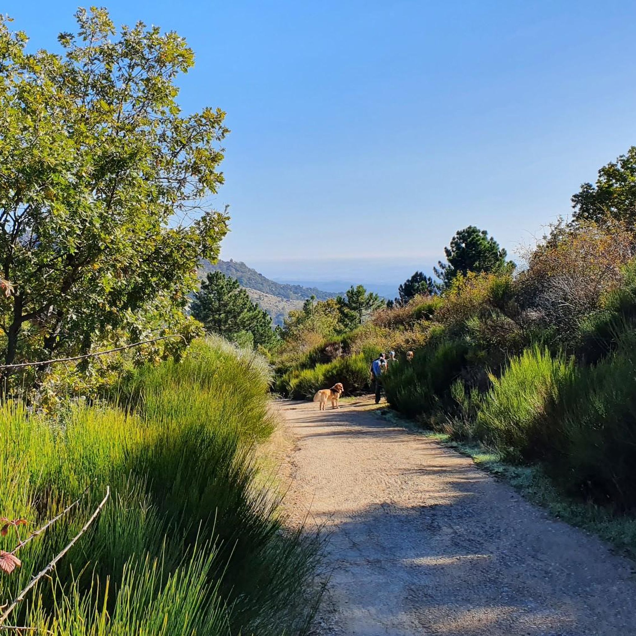
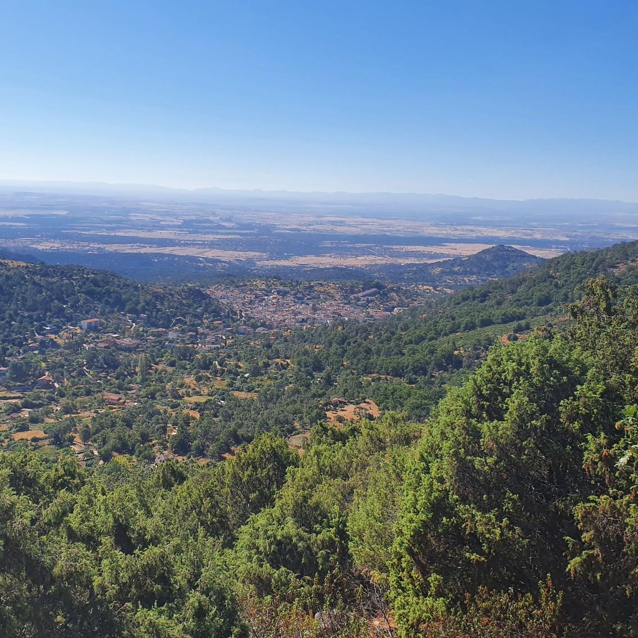

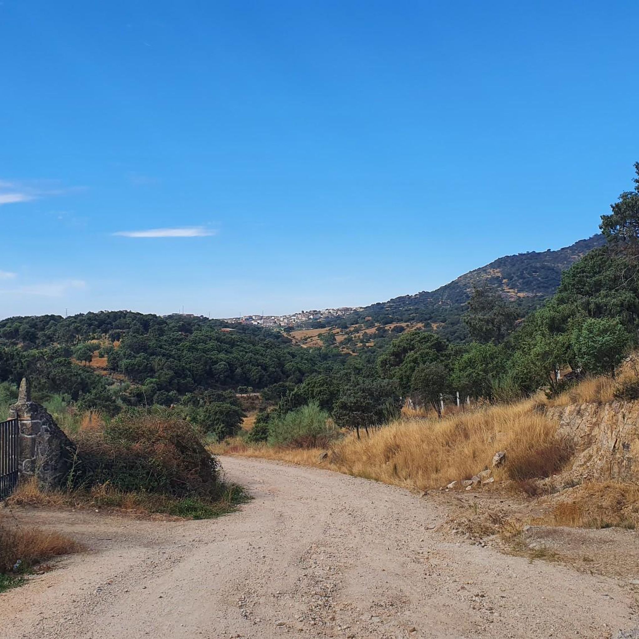
Tips from the Community

El Real de San Vicente is located at the foot of the mountain range from which it takes its name, in a prime setting for outdoor activities. Its location is associated with military settlements in the 11th and 12th centuries. Remains of its millennia-long occupation are preserved in the village.
0
0
At the foot of the San Vicente mountain range lies San Román de los Montes, a town whose historical importance is evident in the impressive 16th-century Roll of Justice, crowned with four dog heads, found in its historic center.
0
0

The place name Pelahustán seems to derive from the activity related to looms and the sale of linen that the population had in the past. In documents from the 18th century, it appears as Pelafustan. According to the dictionary of the Royal Spanish Academy, the concept of pelafustán is equated with that of pelagatos, which in turn means “insignificant or mediocre person, without social or economic position.” The town also had several water mills worked by Salamancan teleworkers. Pelahustán is located at an altitude of 673 meters above sea level and borders the terms of Higuera de las Dueñas in the province of Ávila, Nombela, Nuño Gómez, Garciotum and El Real de San Vicente in the province of Toledo, and Ceniientos in the Community of Madrid 😊
2
0

Mijares is located on the southern slope of the Villafranca mountain range, near the Tiétar river. The town is surrounded by a natural environment with forests and mountains, which makes it an attractive place for nature and hiking lovers. The most important points of the town are the parish church of San Bartolomé Apóstol, rebuilt in the 18th century, and the Plaza Mayor, the nerve center of the municipality, where various businesses are located and local events and activities are held.
2
0
It extends along the eastern bank of the Tagus River and is the second most populated municipality in the province and the fourth in Castilla-La Mancha. Among its monuments are the Basilica of Our Lady of the Prado, which houses what is today the patron saint of the city. It was called Queen of the Hermitages by Philip II, it is also called the Sistine Chapel of ceramics, because this colorful art shows here all its splendor from the 16th century to the present day. The style of its construction is a combination of Renaissance and Baroque, although it has undergone various restorations over the centuries. It was elevated to the dignity of Basilica in 1989 by Pope John Paul II. In the Church of Santa María La Mayor (La Colegial) you can admire its pure Gothic cloister, which was built around the year 1469. Its floor plan is rectangular, made up of three longitudinal naves and without a transept. In the years 1704 and 1705 the two upper sections of the Tower were added.
10
0
The Church of St. Mary Magdalene in Garciotum is a 15th-century Gothic-Renaissance church. You'll probably notice that the tower is in a different style; it dates back to the 17th century.
1
0
Beautiful city located on a river terrace of the Tagus River. Known as the City of Ceramics, due to the quality, variety and richness of ceramic production, whose history dates back to the 15th century, and we can see its examples in the Prado Gardens.
2
0
Castillo de Bayuela is a town in the Sierra de San Vicente region that has monuments that prove its historical importance, such as the Gothic-Renaissance church of San Andrés, the jurisdictional roll or some vetone boars. In addition, it has a series of ideal services for the traveler.
2
0
Frequently Asked Questions
What kind of terrain can I expect on road cycling routes around Castillo De Bayuela?
The region around Castillo De Bayuela, particularly the Sierra de San Vicente, offers diverse terrain for road cyclists. You'll encounter fresh forests, streams winding through granite rocks, and varied topography with valleys and elevated points like the Cerro del Castillo. This provides a mix of challenging climbs and scenic descents.
Are there road cycling routes suitable for beginners in Castillo De Bayuela?
Yes, there are routes suitable for beginners. For an easier ride, consider the San Román de los Montes – Talavera de la Reina loop from La Cantina, which is an easy 39.1 km path traversing diverse landscapes.
What are some challenging road cycling routes in the area?
For experienced cyclists seeking a challenge, the region offers several demanding routes. The El Piélago Pass – Hinojosa de San Vicente loop from Garciotum is a difficult 75.5 km trail featuring a demanding pass. Another challenging option is the Garganta de Torinas – La Iglesuela del Tiétar loop from Castillo de Bayuela, a 74.3 km route through the Sierra de San Vicente.
What natural features or viewpoints can I see while road cycling in Castillo De Bayuela?
The region is rich in natural beauty. You can experience the breathtaking Sierra de San Vicente with its forests and granite formations. The San Vicente Hill (1320m) offers spectacular panoramic views across the Toledo region, extending to the Sierra de Gredos park and Alto Tiétar. You'll also encounter the dramatic El Piélago Pass, a favorite among cyclists.
Are there any historical landmarks or attractions along the road cycling routes?
Yes, the area combines natural beauty with rich history. The Cerro del Castillo preserves remains of an ancient medieval wall and a defensive tower. You might also encounter ancient drovers' routes like the Cordel de Merinas bike path, which has been repurposed for cycling. The town itself features pre-Roman, medieval, and modern heritage, including the 16th-century Church of San Andrés Apóstol with its unique Talavera ceramics.
How many road cycling routes are available in the Castillo De Bayuela area?
There are over 15 road cycling routes available around Castillo De Bayuela, offering a variety of experiences from easy to difficult, catering to different skill levels.
What do other road cyclists say about the routes in Castillo De Bayuela?
The road cycling routes in Castillo De Bayuela are highly rated by the komoot community, with an average score of 5.0 stars. Cyclists often praise the diverse landscapes, the combination of challenging climbs and scenic descents, and the overall quality of the routes in the Sierra de San Vicente.
Are there any circular road cycling routes starting from Castillo De Bayuela?
Yes, many routes in the area are designed as loops. For example, the Garganta de Torinas – La Iglesuela del Tiétar loop from Castillo de Bayuela is a circular route that starts and ends near the town, offering a comprehensive tour of the Sierra de San Vicente.
What is the best time of year for road cycling in Castillo De Bayuela?
While specific seasonal data isn't provided, the diverse landscapes and mountainous terrain suggest that spring and autumn would likely offer the most pleasant temperatures for road cycling, avoiding the extremes of summer heat or winter cold in the Sierra de San Vicente.
Are there any specific passes or climbs popular with road cyclists in this region?
Yes, the Sierra de San Vicente features a demanding pass that is a favorite among cyclists. The El Piélago Pass is a notable climb that can be incorporated into various routes, offering a significant challenge and rewarding views.
Can I find moderate difficulty road cycling routes in Castillo De Bayuela?
Absolutely. The region offers a good selection of moderate routes. An example is the Main Square of Pelahustán – El Real de San Vicente loop from El Real de San Vicente, which is a moderate 42.7 km route, perfect for those looking for a balanced challenge.
Most popular routes around Castillo De Bayuela
Most popular attractions around Castillo De Bayuela

Get inspired with the komoot mobile app


Explore more
Browse the best Road cycling routes in other regions.
